2.08 Kliplev - Padborg - German Border
19.8km
Distance
-
Walking time
136m
Total climb
155m
Total descent
Photos
Stage description
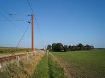
Leaving Kliplev, the E1 takes us first through an industrial estate. From the road, a path on our right leads to a railway line. Here we turn right and head in a westerly direction. Cross over the rail line at a level crossing and continue to head west. If you're looking for a place to spend the night, you can find Pension Lindely just to your left at this point.
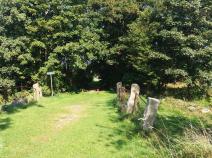
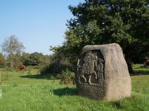
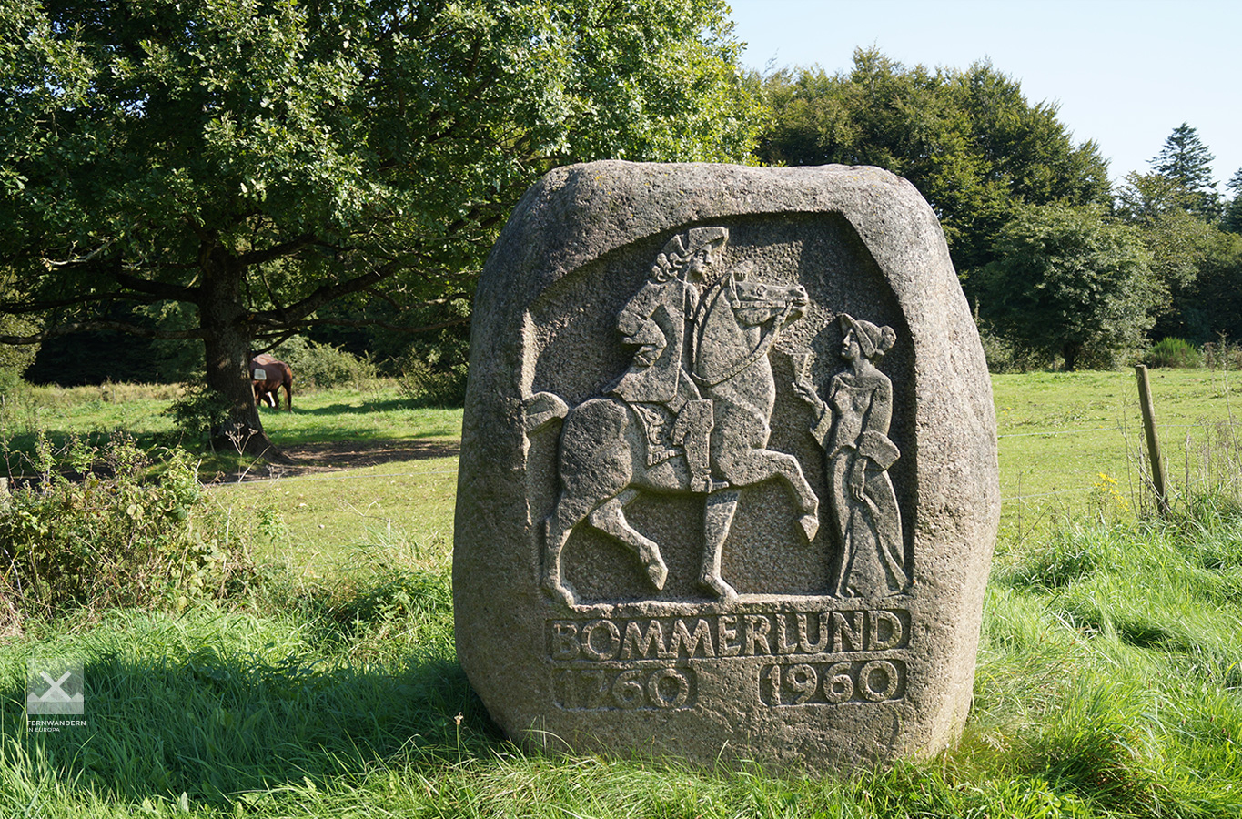
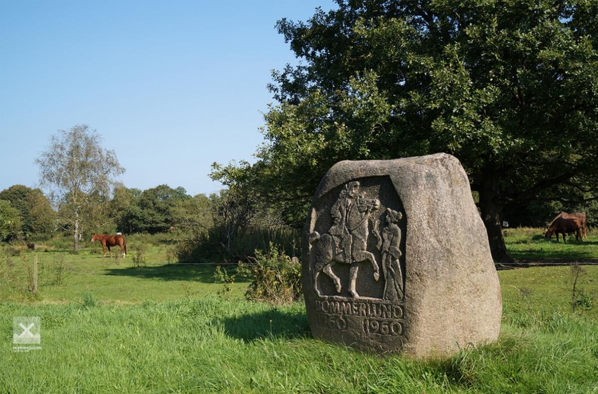
The route continues on asphalt roads until we reach the small housing estate of Perbøl. A path to the right takes us off the road, which we then follow until Gejlå. Here we turn right. After roughly 200 metres the path leaves the road to the right taking us into the Bommerlund Plantage, crossing over a small stone bridge – the Gejlå Bro. A few metres on, the Bommerlundstenen, a memorial stone, can be seen on the side of the path. A sheltered campsite is just a couple of hundred metres away.
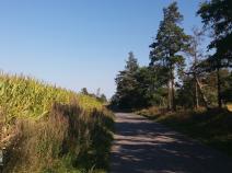
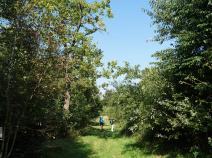
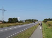
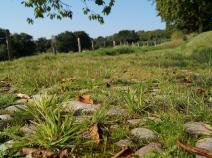
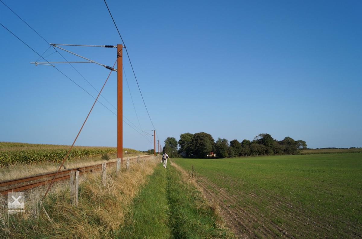
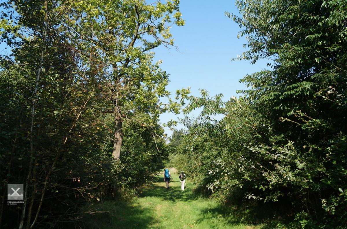
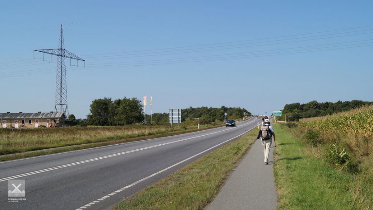
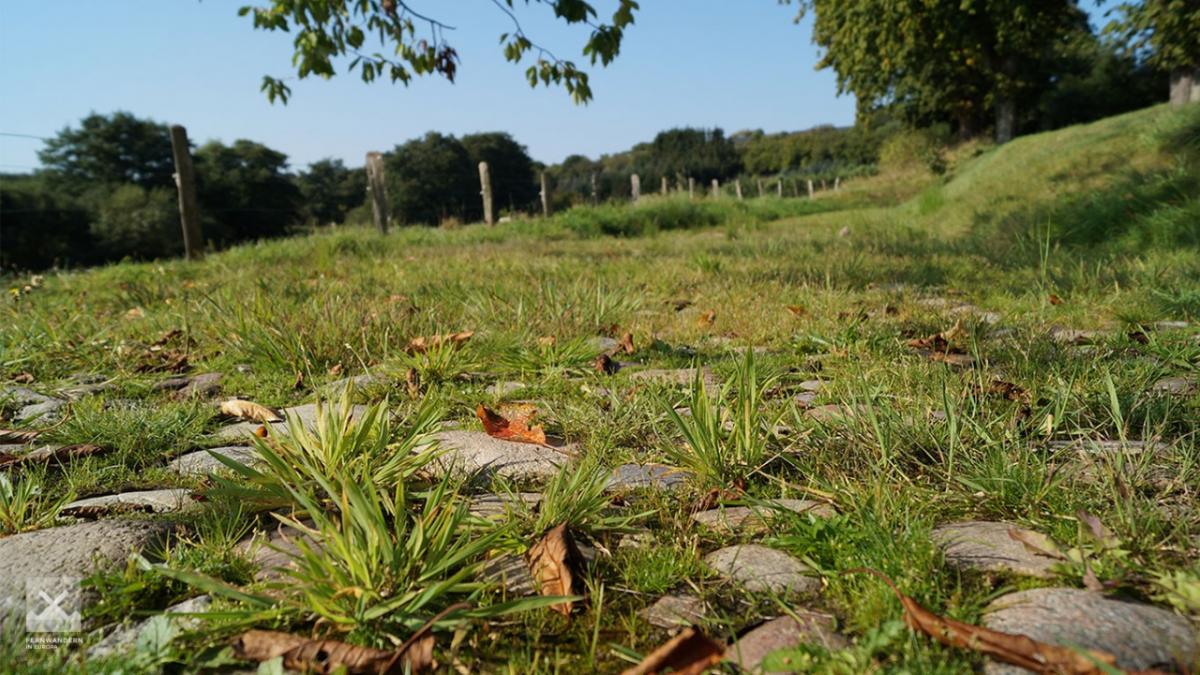
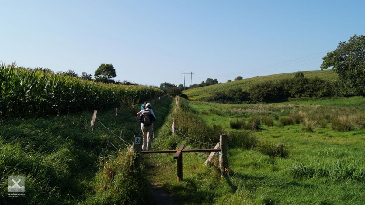
Even though the path runs parallel to a street for the next 4 kilometres as we head south through the woods, this section is quite pretty and pleasant to walk. The route continues, though less appealing: As we leave the woods, the E1 follows a busy country road for one kilometre, crossing the E45 motorway.
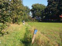
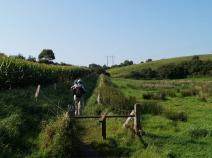
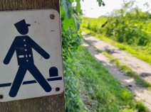
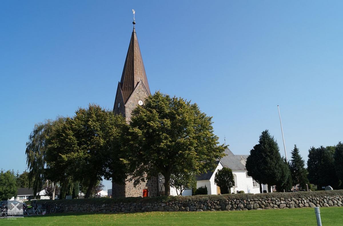
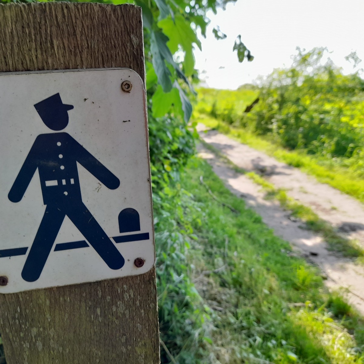
After the roundabout the route takes us right on a much quieter agricultural road to the small town of Bov. As we leave the south part of the town, there is a section of a historical trading route. A little later, as the the E1 follows a small bend to the right it leaves this Hærvej on the left. From here the route follows the Gendarmstien (the gendarm path), marked with a symbol of a police officer on a white background.
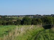
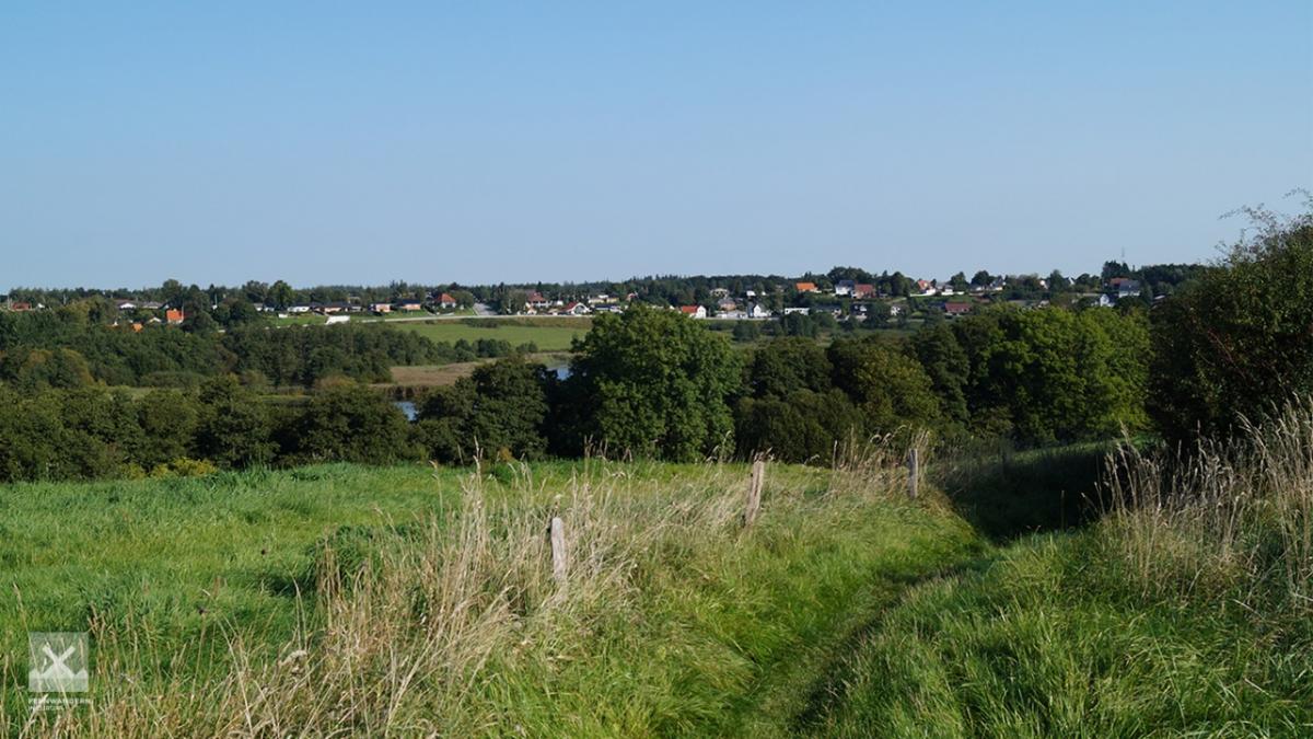
The winding and hilly path is quite diversified and offers some beautiful views as we head towards the border. As we leave Denmark, we take with us some fine final views before we come to a road that takes us to the German border. Here there is a bus stop on the route between Flensburg and Kruså.
The following users contributed to this text:
Hiking maps
No maps added yet
Marking
-
 Hiking trail (Denmark)
Accommodation
| Accommodation | Price group | |||
|---|---|---|---|---|
| 0-150 DKK |
151-300 DKK |
301-450 DKK |
>450 DKK |
|
|
Pension Lindely
Aabenraa
Price group: DKK 0-150,DKK 150-300
|
|
|
||
|
Shelter Bjerndrup
Bjerndrup
Price group:
|
||||
|
Bommerlund Plantage
Gejlå Bro
Price group:
|
||||
|
Dansleep Padborg
Padborg
Price group: DKK 300-450
|
|
|||
|
Bov Kro
Padborg
Price group: DKK >450
|
|
|||
|
Kruså Camping
Kruså
Price group: DKK 0-150
|
|
|||
|
Frøslev Plantage, Karsten Thomsens Plads
Padborg
Price group:
|
||||
|
Show more accommodation in Padborg
(booking.com / Ad)
|
||||
Sights
Bommerlund plantation
On a nice path the E1 runs through the Bommerlund plantation. To the north it crosses the Gejlå Bro, a stone bridge from 1818, and a few metres to the south the Bommerlund stone reminds you of the Bommerlund Kro inn that once stood here. Legend has it that a French knight left the innkeeper the recipe for the famous "Bommerlunder".
Links
haervej.com - Stage Kliplev - Padborg
Stage descriptions and map for printing
http://www.haervej.com/ln-int/haervej/hiking-stage-kliplev-padborg-border-approx-184-km
Literature

Sources and copyright
GPX track coordinates: © OpenStreetMap contributors. Published under Open Database License (ODbL)GPX-Downloads
You can use the GPX track for navigation and tour planning on your digital device (GPS, smartphone, online tour planner).
| Etappe Stage 2.08 Kliplev - Padborg - German Border | Download (.gpx) |
| All tracks in Denmark | Download (.zip) |
The download and many of the services offered on this page are free of charge. However, I would greatly appreciate a small donation as a token of appreciation for my work! This can be done through Paypal or a supporting membership. Thank you very much!