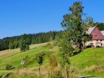
10.08 Wilhelmshöhe (Schonach) - Thurner
29.9km
Distance
-
Walking time
997m
Total climb
924m
Total descent
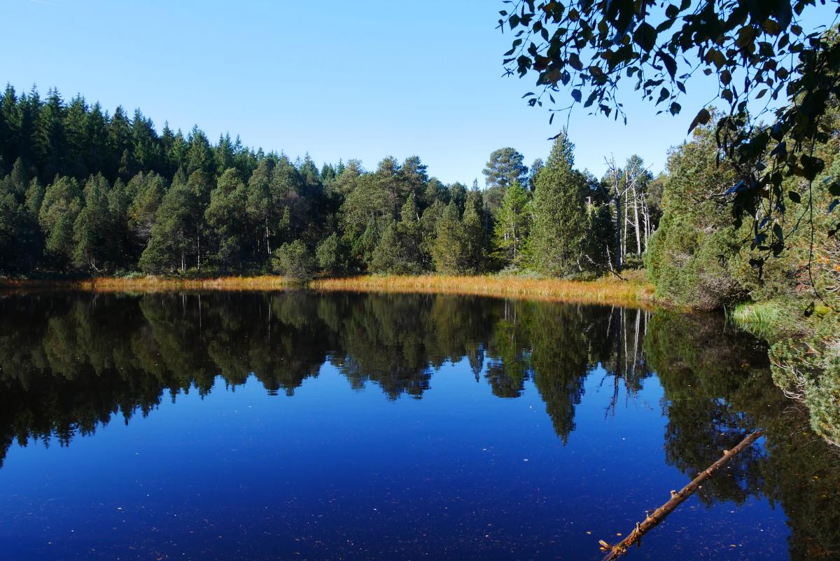
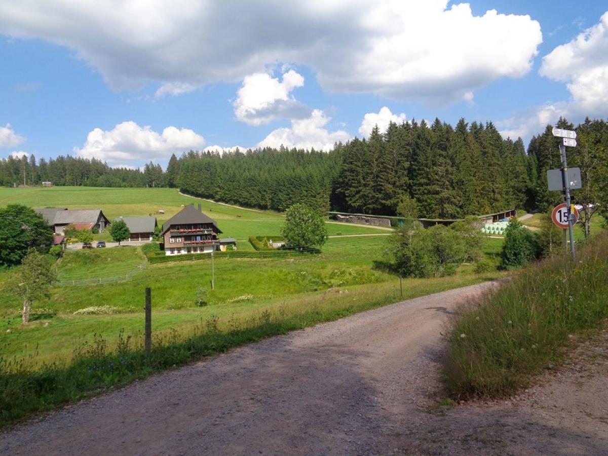
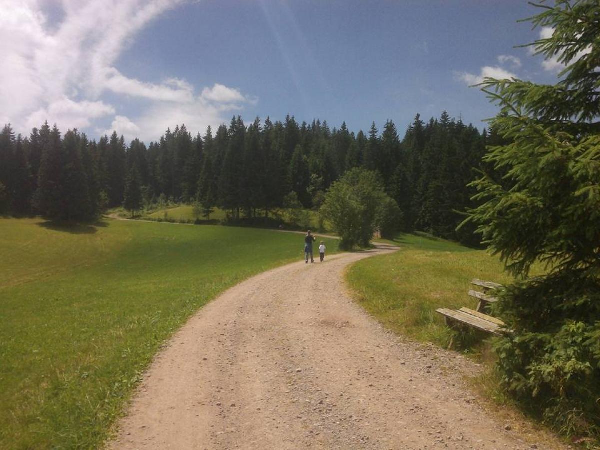
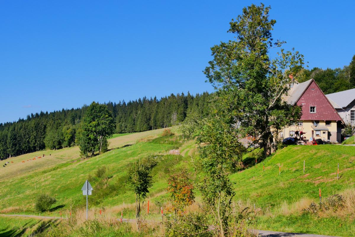
Photos

Stage description
No description available yet.
Hiking maps
No maps added yet
Marking
-
 Westweg
Accommodation
| Accommodation | Price group | |||
|---|---|---|---|---|
| 5-15 € | 16-30 € | 31-45 € | >45 € | |
|
Haus Silberberg
Schonach
Price group: 15-30 €
|
|
|||
|
Gasthaus Wilhelmshöhe
Schonach im Schwarzwald
Price group: 15-30,30-45 €
|
|
|
||
|
Höhengasthaus Kolmenhof
Furtwangen
Price group: €
|
||||
|
Berggasthof & Hotel Brend
Furtwangen
Price group: 30-45 €
|
|
|||
|
Kalte Herberge
Vöhrenbach
Price group: 30-45 €
|
|
|||
|
Gaststätte Schweizerhof
Titisee-Neustadt
Price group: 30-45 €
|
|
|||
|
Gasthaus Zum Kreuz
Sankt Märgen
Price group: €
|
||||
Sights
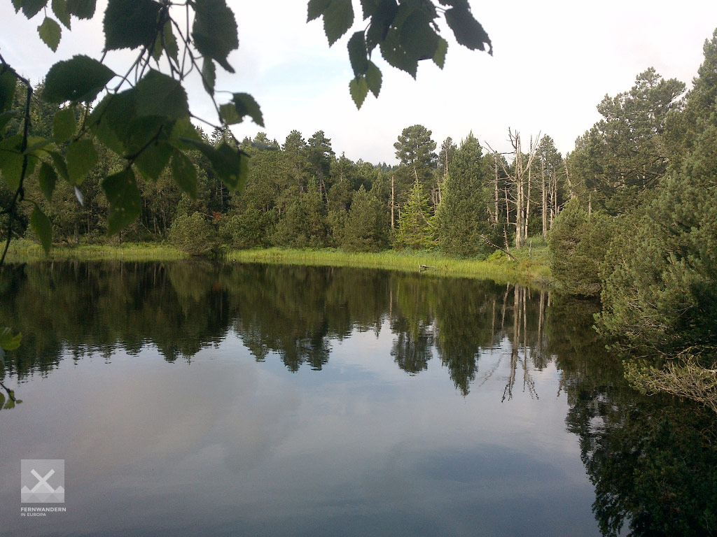
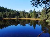
Blindensee
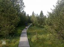
Nach wenigen Kilometern führt ein wunderschöner Bohlenweg durch ein Hochmoorgebiet zum Blindensee.
Links
Wanderbares Deutschland - Westweg
Information about stages, accomodations and attractions of the Westweg (german)
http://www.wanderbares-deutschland.de/wanderwege/wanderwege-karte.html#westweg
fernwege.de - Westweg
Information about stages and accomodations of the Westweg (german)
Literature

Sources and copyright
GPX track coordinates: © OpenStreetMap contributors. Published under Open Database License (ODbL)GPX-Downloads
You can use the GPX track for navigation and tour planning on your digital device (GPS, smartphone, online tour planner).
| Etappe Stage 10.08 Wilhelmshöhe (Schonach) - Thurner | Download (.gpx) |
| All tracks in Germany | Download (.zip) |
The download and many of the services offered on this page are free of charge. However, I would greatly appreciate a small donation as a token of appreciation for my work! This can be done through Paypal or a supporting membership. Thank you very much!