10.07 Hausach - Wilhelmshöhe (Schonach)
21.2km
Distance
-
Walking time
1388m
Total climb
652m
Total descent
Photos
Stage description
N.B.: We don't have an English description of the stage just yet. We'll give you the German version for now until the English version is ready.
Lange und anstrengende Etappe.
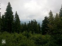
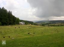
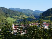
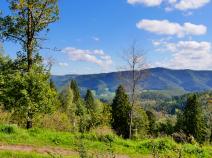
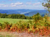
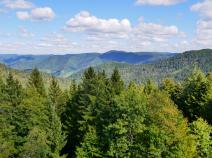
Von Hausach aus geht es erst hinauf zur Burg Husen. Dann weier aufwärts überwiegend auf Forstwegen, zwischendurch auf schmaleren Wegen durch Wald bis zu Wiesen im oberen Breitenbachtal. Dann wieder durch Wald und zum Teil sehr steil ansteigend hinauf zum Farrenkopf. Weiter geht es wieder etwas absteigend über den Schorenkopf zum Buchereck. Aussichtpunkte gibt es deutlich mehr als nördlich von Hausach.
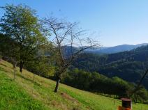
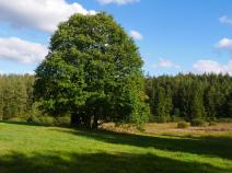
Auf verschiedenen markierten Fuß- und Forstwegen geht es in leichterem Auf und Ab zum Huberfelsen und dann wieder stärker ansteigend zum Karlstein. Von dort einige Minuten abwärts zum Hotel Schöne Aussicht, geeignet für eine Kaffeepause. Dann geht es parallel zur Zufahrtsstraße durch den Wald, dann aber auch auf der Straße ziemlich eben an den Häusern von Rensberg entlang. Weiter wieder weg von der Straße über Hochflächen am Portal des früheren Herrenwälderhofs vorbei und auf einer Forststraße zum Haus am Silberberg. Dort links recht steil aufwärts und dann auf einem breiten Feldweg geradezu bis zur Wilhelmshöhe.
The following users contributed to this text:
Hiking maps
No maps added yet
Marking
-
Westweg
Accommodation
| Accommodation | Price group | |||
|---|---|---|---|---|
| 5-15 € | 16-30 € | 31-45 € | >45 € | |
|
Haus Silberberg
Schonach
Price group: 15-30 €
|
|
|||
|
Gasthaus Wilhelmshöhe
Schonach im Schwarzwald
Price group: 15-30,30-45 €
|
|
|
||
Links
Wanderbares Deutschland - Westweg
Information about stages, accomodations and attractions of the Westweg (german)
http://www.wanderbares-deutschland.de/wanderwege/wanderwege-karte.html#westweg
fernwege.de - Westweg
Information about stages and accomodations of the Westweg (german)
Literature
Sources and copyright
GPX track coordinates: © OpenStreetMap contributors. Published under Open Database License (ODbL)GPX-Downloads
You can use the GPX track for navigation and tour planning on your digital device (GPS, smartphone, online tour planner).
| Etappe Stage 10.07 Hausach - Wilhelmshöhe (Schonach) | Download (.gpx) |
| All tracks in Germany | Download (.zip) |
The download and many of the services offered on this page are free of charge. However, I would greatly appreciate a small donation as a token of appreciation for my work! This can be done through Paypal or a supporting membership. Thank you very much!


