10.06 Hark - Hausach
15.4km
Distance
-
Walking time
540m
Total climb
981m
Total descent
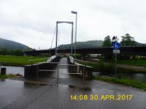
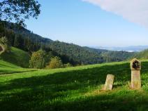
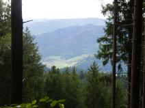
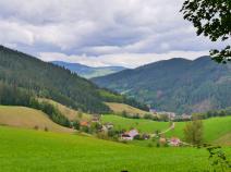
Photos
Stage description
N.B.: We don't have an English description of the stage just yet. We'll give you the German version for now until the English version is ready.
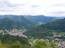
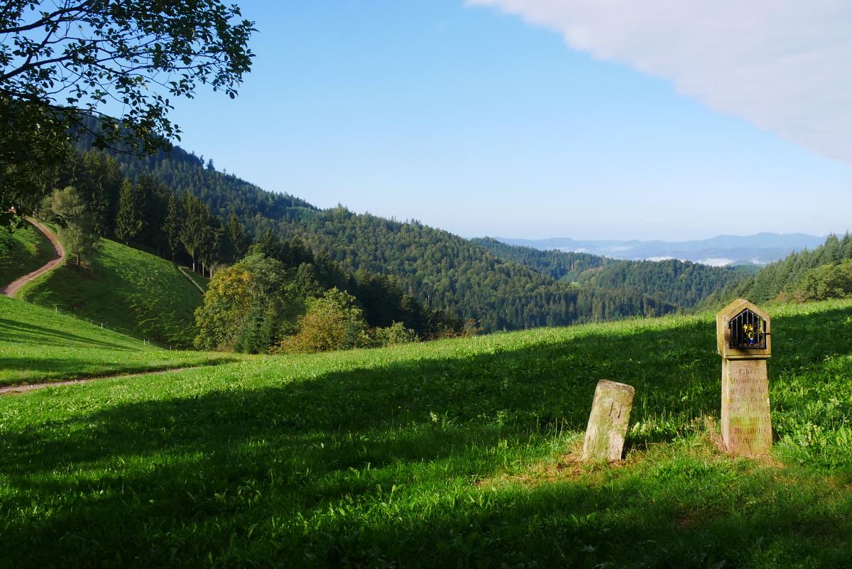
Auch dies ist eine Etappe durch den Nordschwarzwald, auf der es viel durch Wald geht und Aussichten selten sind.
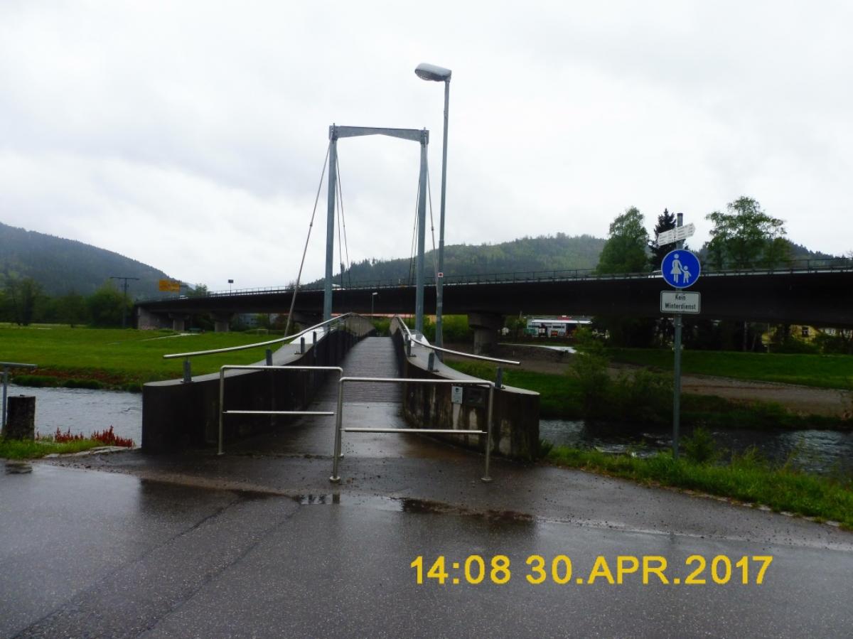
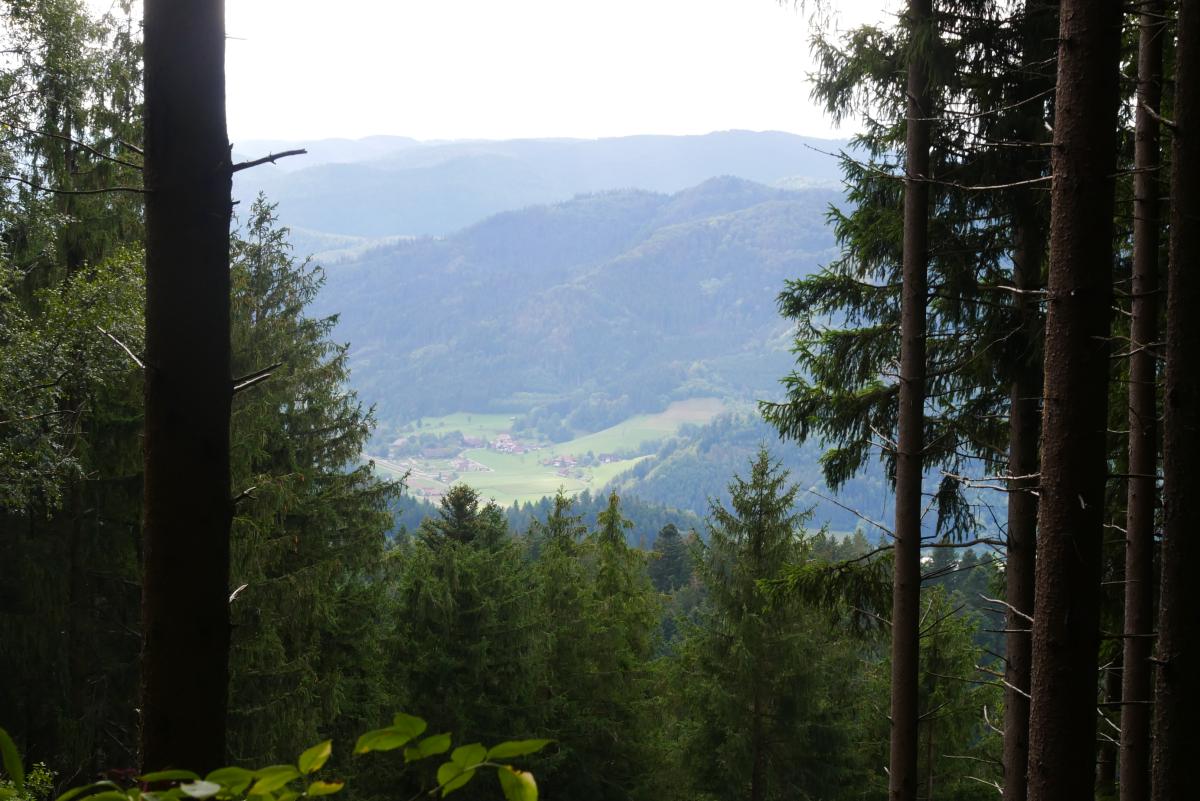
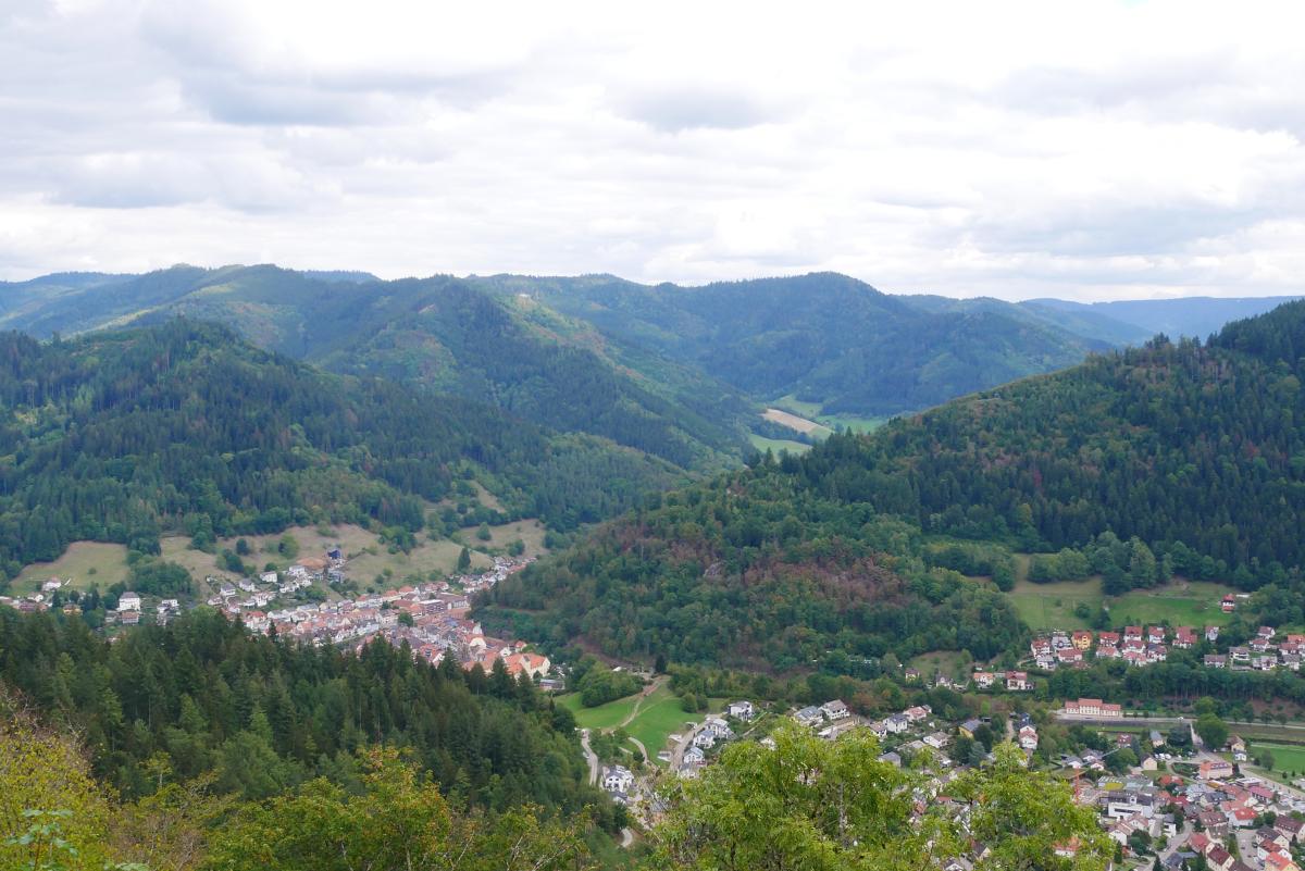
Von der Hark geht es auf Wald- und Forstwegen leicht aufwärts zur Kreuzsattelhütte mit Spielplatz. Weiter auf einem Stück Asphaltstraße und dann abwechselnd auf breiteren und schmaleren Wegen, die höchsten Stellen oder Windräder meist umgehend ziemlich lange durch Wald zur Hohenlochenhütte. Von der Hütte schöne Aussicht nach Westen. Dann geht es ein Stück steile abwärts. Danach macht der Weg einen Schlenker nach Westen, bevor sich die Landschaft etwas öffnet und man an einer Antennenanlage vorbei den Spitzfelsen erreicht. Von dort auf Pfaden und breiteren Wegen relativ steil hinab nach Hausach.
Nach dieser nicht so langen Etappe bietet es sich an, noch das Schwarzwälder Freilichtmuseum Gutach zu besuchen. Vom Bahnhof Hausach 2 Minuten mit der Bahn oder etwa 2 km zu Fuß.
The following users contributed to this text:
Hiking maps
No maps added yet
Marking
-
 Westweg
Accommodation
| Accommodation | Price group | |||
|---|---|---|---|---|
| 5-15 € | 16-30 € | 31-45 € | >45 € | |
|
Harkhof
Oberharmersbach
Price group: 15-30 €
|
|
|||
|
Show more accommodation in Oberharmersbach
and Hausach
(booking.com / Ad)
|
||||
Links
Wanderbares Deutschland - Westweg
Information about stages, accomodations and attractions of the Westweg (german)
http://www.wanderbares-deutschland.de/wanderwege/wanderwege-karte.html#westweg
fernwege.de - Westweg
Information about stages and accomodations of the Westweg (german)
Literature
Sources and copyright
GPX track coordinates: © OpenStreetMap contributors. Published under Open Database License (ODbL)GPX-Downloads
You can use the GPX track for navigation and tour planning on your digital device (GPS, smartphone, online tour planner).
| Etappe Stage 10.06 Hark - Hausach | Download (.gpx) |
| All tracks in Germany | Download (.zip) |
The download and many of the services offered on this page are free of charge. However, I would greatly appreciate a small donation as a token of appreciation for my work! This can be done through Paypal or a supporting membership. Thank you very much!