10.12 Schattenmühle - Blumberg
21.5km
Distance
-
Walking time
956m
Total climb
954m
Total descent
Photos
Stage description
N.B.: We don't have an English description of the stage just yet. We'll give you the German version for now until the English version is ready.
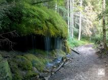
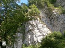
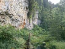
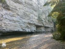
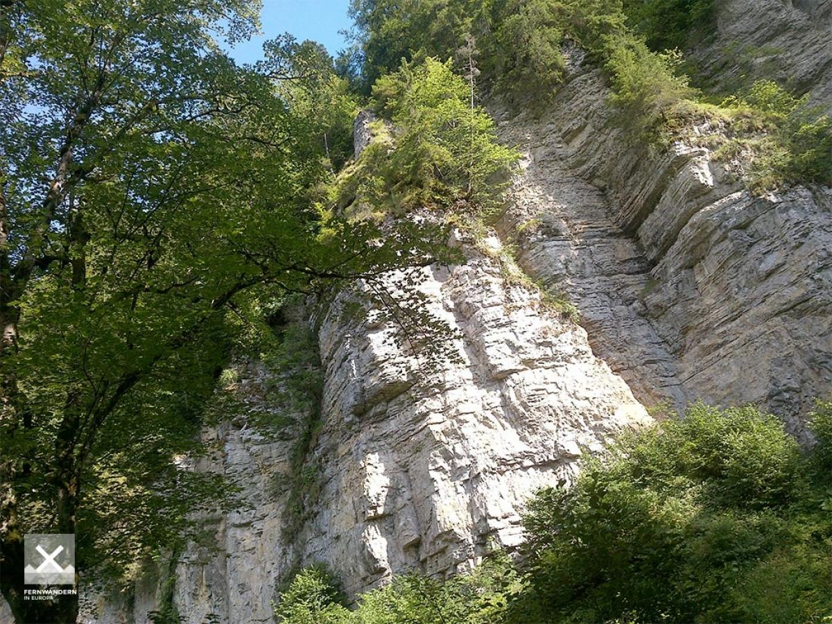
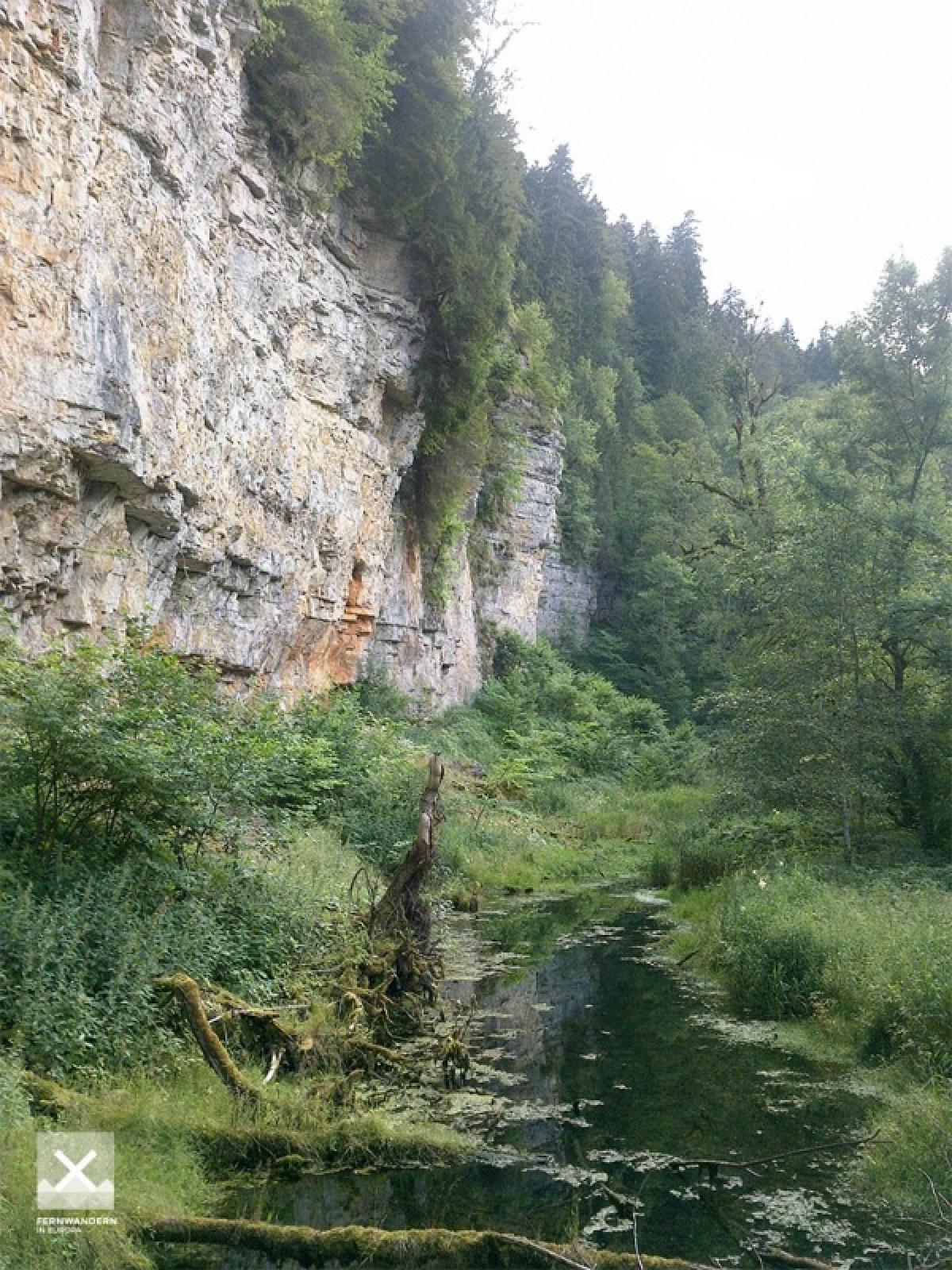
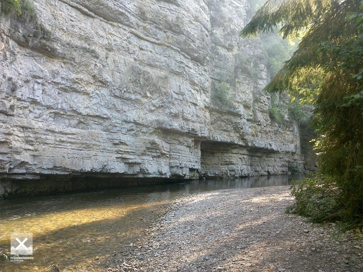
Von der Schattenmühle geht es auf der Nordseite der Wutach auf überwiegend schmalen Wegen und durch Wald nach Bad Boll. Von da an läuft der Weg länger auf der Südseite der Wutach, die felsigen Passagen nehmen zu. Bei Nässe kann es rutschig werden. Manche Stellen sind mit Drahtseilen versichert. Schließlich wird das Tal sanfter und man erreicht die Wutachmühle (Imbiss). Etwas weiter aufwärts geht es dann auf dem weiteren Weg in Richtung Achdorf, auch mal mit Asphaltabschnitten. Nach Blumberg geht es recht steil hinauf, alternativ auch südlich der Straße an den Wasserfällen entlang. Bei Nässe kann es in diesen Bereichen ziemlich rutschig sein.
The following users contributed to this text:
Hiking maps
No maps added yet
Marking
-
 Querweg Freiburg-Bodensee (Freiburg-Lake Constance Black Forest Trail)
Accommodation
| Accommodation | Price group | |||
|---|---|---|---|---|
| 5-15 € | 16-30 € | 31-45 € | >45 € | |
|
Schattenmühle
Löffingen
Price group: €
|
||||
|
Show more accommodation in Blumberg
(booking.com / Ad)
|
||||
Links
schluchtensteig.de
Information about stages and list of accommodation (german)
Literature

Sources and copyright
GPX track coordinates: © OpenStreetMap contributors. Published under Open Database License (ODbL)GPX-Downloads
You can use the GPX track for navigation and tour planning on your digital device (GPS, smartphone, online tour planner).
| Etappe Stage 10.12 Schattenmühle - Blumberg | Download (.gpx) |
| All tracks in Germany | Download (.zip) |
The download and many of the services offered on this page are free of charge. However, I would greatly appreciate a small donation as a token of appreciation for my work! This can be done through Paypal or a supporting membership. Thank you very much!