Stage
10.14 Engen - Singen
26.1km
Distance
-
Walking time
1053m
Total climb
1159m
Total descent
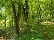
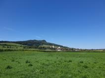
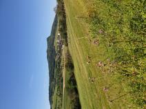
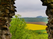
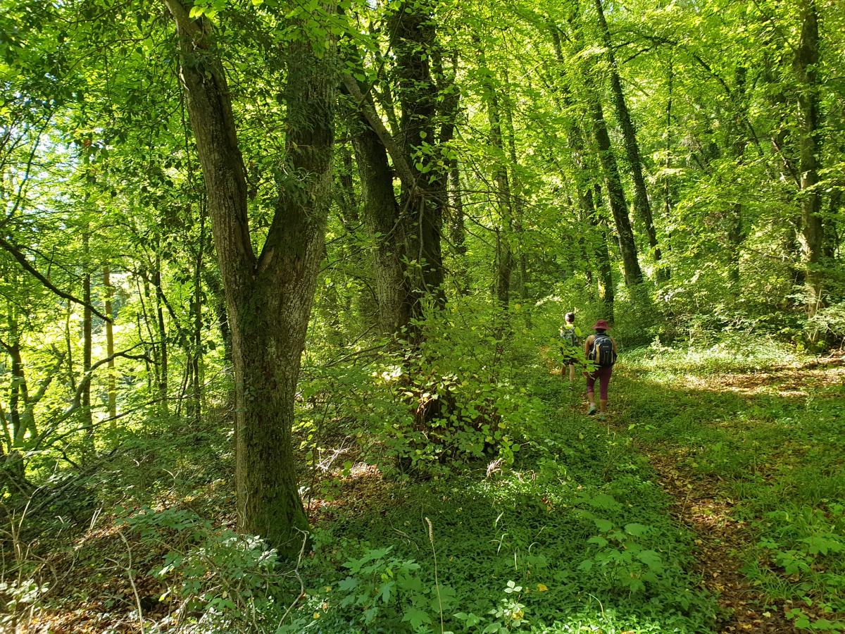
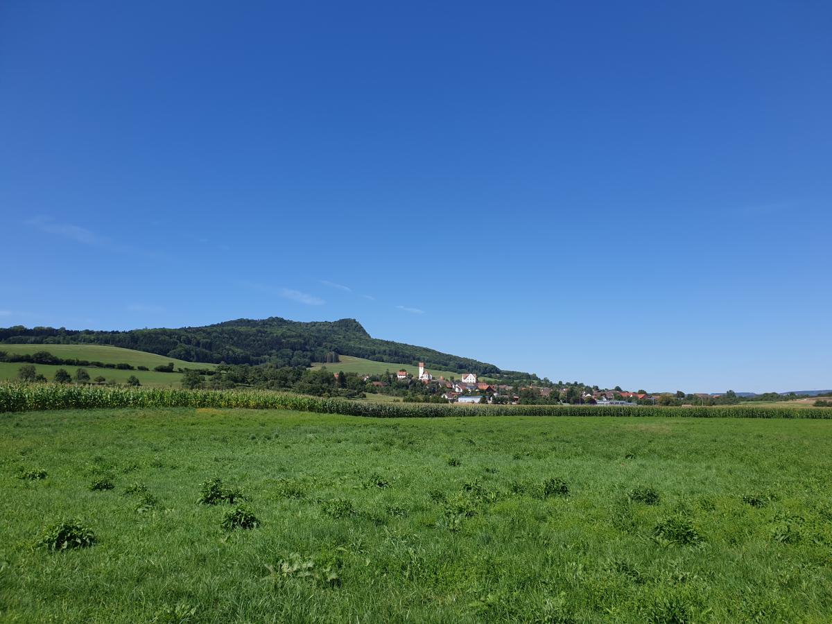
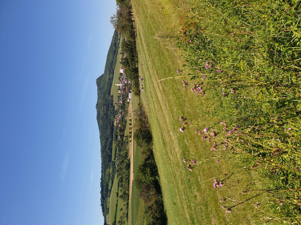
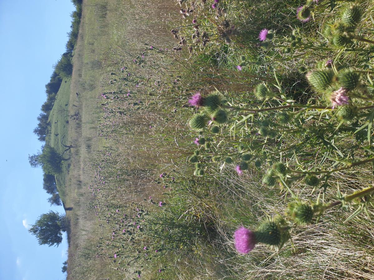
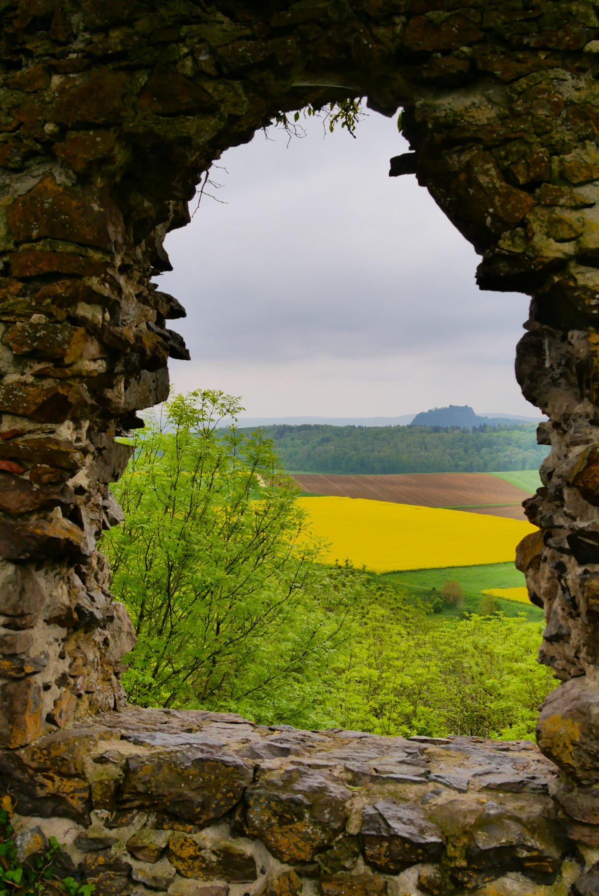
Photos

Stage description
No description available yet.
Hiking maps
No maps added yet
Marking
-
 Querweg Freiburg-Bodensee (Freiburg-Lake Constance Black Forest Trail)
Accommodation
| Accommodation | Price group | |||
|---|---|---|---|---|
| 5-15 € | 16-30 € | 31-45 € | >45 € | |
|
Camping Sonnental
Engen
Price group: 5-15 €
|
|
|||
Literature

Sources and copyright
GPX track coordinates: © OpenStreetMap contributors. Published under Open Database License (ODbL)GPX-Downloads
You can use the GPX track for navigation and tour planning on your digital device (GPS, smartphone, online tour planner).
| Etappe Stage 10.14 Engen - Singen | Download (.gpx) |
| All tracks in Germany | Download (.zip) |
The download and many of the services offered on this page are free of charge. However, I would greatly appreciate a small donation as a token of appreciation for my work! This can be done through Paypal or a supporting membership. Thank you very much!