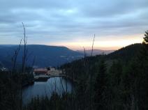
10.03 Forbach - Mummelsee
24.8km
Distance
-
Walking time
1415m
Total climb
677m
Total descent
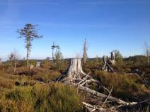
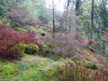
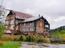
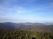
Photos
Stage description
N.B.: We don't have an English description of the stage just yet. We'll give you the German version for now until the English version is ready.
Eine lange und anstrengende Etappe, wenn man sie nicht anders einteilt und etwa in Unterstmatt übernachtet.
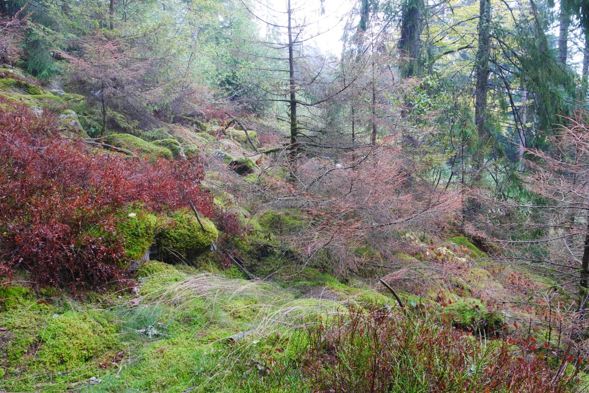
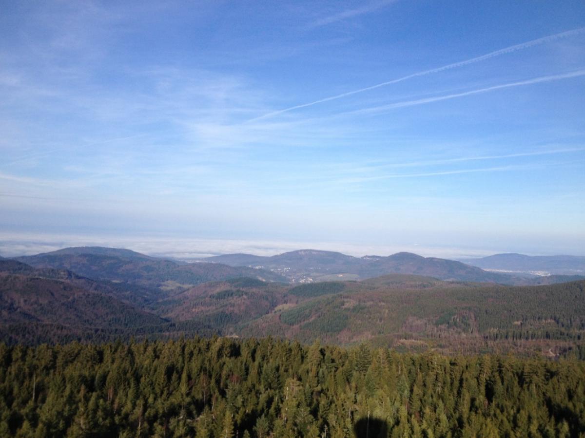
Von Forbach geht es erst aufwärts zur Mariahilfkapelle. Dann geht es abwechselnd auf Forstwegen und steilen Waldpfaden aufwärts, immer weiter aufwärts, bis am Seekopf erstmals in Deutschland eine Höhe von 1000 m erreicht wird. Fast eben geht es weiter zur Badener Höhe mit Aussichtsturm. Dann auf einer Forststraße abwärts nach Sand, etwas abseits vorher Einkehrmöglichkeit im Naturfreundehaus Badener Höhe. Von Sand geht es auf einem Weg parallel zur Straße zum Hundseck. Dann entfernt sich der Westweg etwas mehr von der Straße und führt über den Hochkopf nach Unterstmatt.
Von Unterstmatt auf Waldpfaden ordentlich markiert, aber teilweise ziemlich steinig hinauf zur Hornisgrinde. Von der Hornisgrinde auf einem teilweise steilen Fußweg hinab zum Mummelsee.
The following users contributed to this text:
Hiking maps
No maps added yet
Marking
-
 Westweg
Accommodation
| Accommodation | Price group | |||
|---|---|---|---|---|
| 5-15 € | 16-30 € | 31-45 € | >45 € | |
|
Hochkopf-Stub
Bühl
Price group: 30-45 €
|
|
|||
|
Hotel Zur grossen Tanne
Bühl
Price group: >45 €
|
|
|||
|
Berghotel Mummelsee
Seebach
Price group: >45 €
|
|
|||
|
Show more accommodation in Forbach
(booking.com / Ad)
|
||||
Links
Wanderbares Deutschland - Westweg
Information about stages, accomodations and attractions of the Westweg (german)
http://www.wanderbares-deutschland.de/wanderwege/wanderwege-karte.html#westweg
fernwege.de - Westweg
Information about stages and accomodations of the Westweg (german)
Literature
Sources and copyright
GPX track coordinates: © OpenStreetMap contributors. Published under Open Database License (ODbL)GPX-Downloads
You can use the GPX track for navigation and tour planning on your digital device (GPS, smartphone, online tour planner).
| Etappe Stage 10.03 Forbach - Mummelsee | Download (.gpx) |
| All tracks in Germany | Download (.zip) |
The download and many of the services offered on this page are free of charge. However, I would greatly appreciate a small donation as a token of appreciation for my work! This can be done through Paypal or a supporting membership. Thank you very much!