10.11 Lenzkirch - Schattenmühle
18.4km
Distance
-
Walking time
678m
Total climb
799m
Total descent
Photos
Stage description
No description available yet.
Hiking maps
No maps added yet
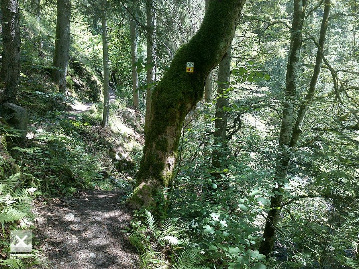
Marking
-
 Mittelweg
-
 Querweg Freiburg-Bodensee (Freiburg-Lake Constance Black Forest Trail)
On the Mittelweg in northern direction, after approx. 3.5 km continue on the Freiburg-Lake Constance Black Forest Trail.
Accommodation
| Accommodation | Price group | |||
|---|---|---|---|---|
| 5-15 € | 16-30 € | 31-45 € | >45 € | |
|
Camping Kreuzhof
Lenzkirch
Price group: €
|
||||
|
Schattenmühle
Löffingen
Price group: €
|
||||
|
Show more accommodation in Lenzkirch
(booking.com / Ad)
|
||||
Links
schluchtensteig.de
Information about stages and list of accommodation (german)
Südbadenbus - Wanderbus Wutachschlucht
Information and timetable for "Wanderbus Wutachschlucht" (stops at Schattenmühle)
https://www.dbregiobus-bawue.de/angebot/freizeitbusse/suedbadenbus/wanderbus_wutachschlucht
Literature

Sources and copyright
GPX track coordinates: © OpenStreetMap contributors. Published under Open Database License (ODbL)GPX-Downloads
You can use the GPX track for navigation and tour planning on your digital device (GPS, smartphone, online tour planner).
| Etappe Stage 10.11 Lenzkirch - Schattenmühle | Download (.gpx) |
| All tracks in Germany | Download (.zip) |
The download and many of the services offered on this page are free of charge. However, I would greatly appreciate a small donation as a token of appreciation for my work! This can be done through Paypal or a supporting membership. Thank you very much!