10.13 Blumberg - Engen
26.8km
Distance
-
Walking time
755m
Total climb
912m
Total descent
Photos

Stage description
N.B.: We don't have an English description of the stage just yet. We'll give you the German version for now until the English version is ready.
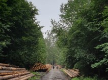
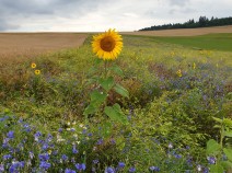
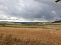
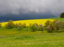
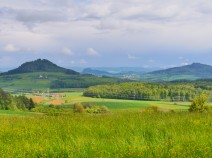
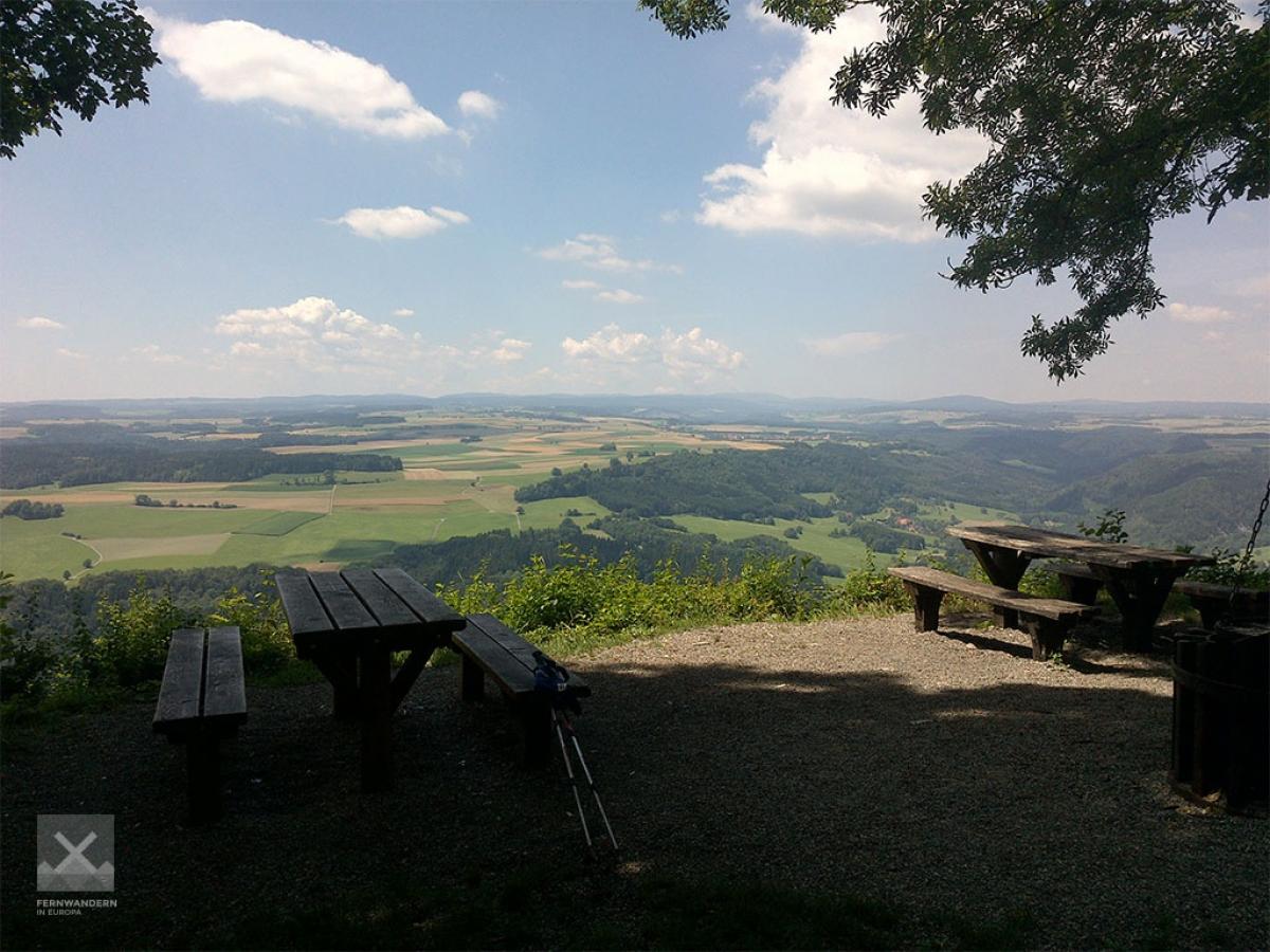
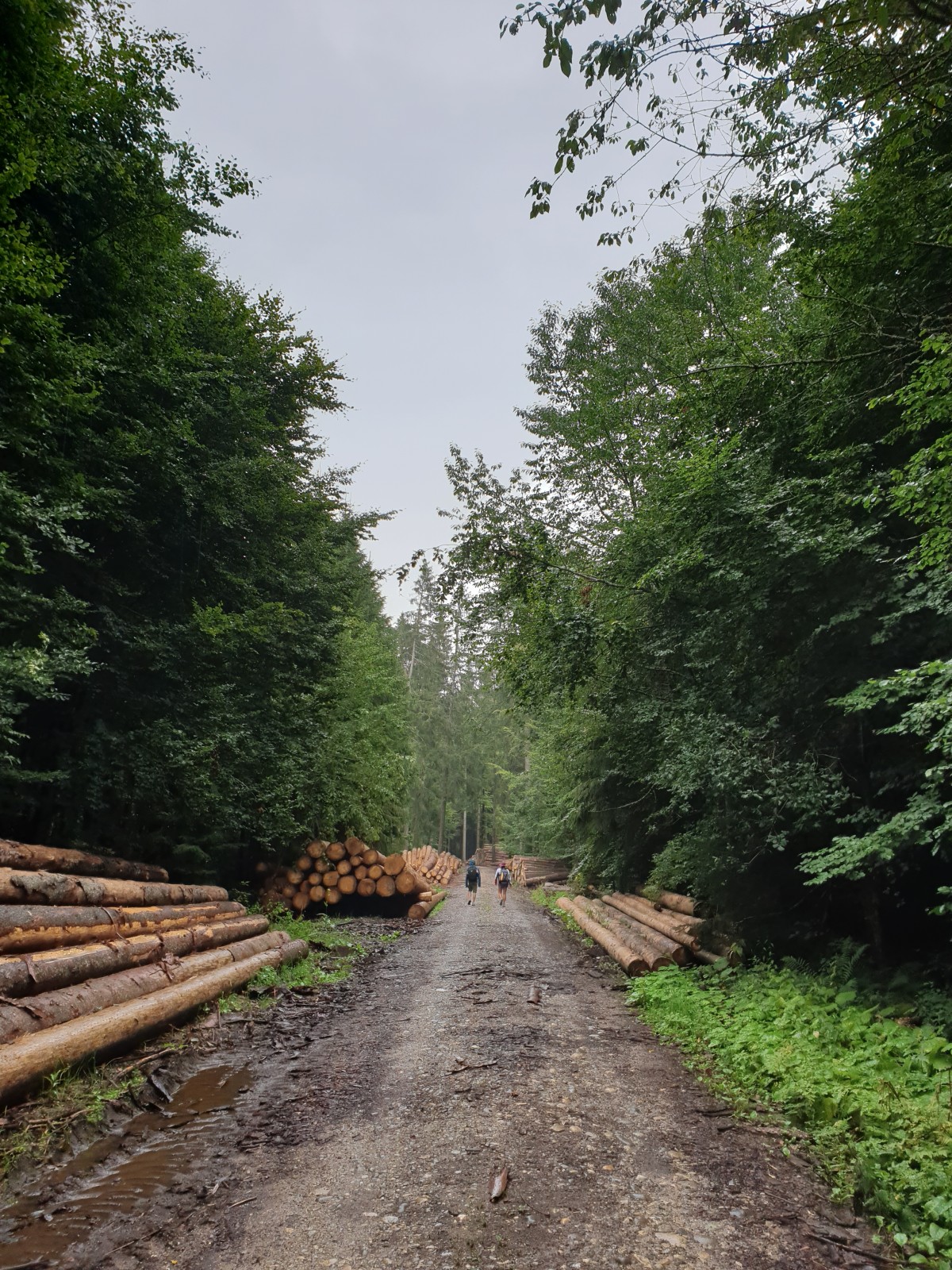
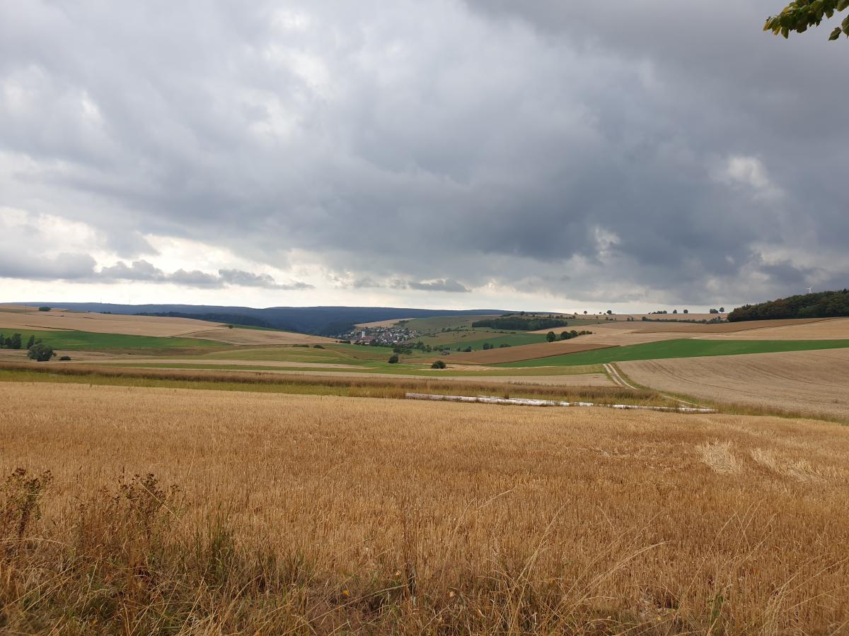
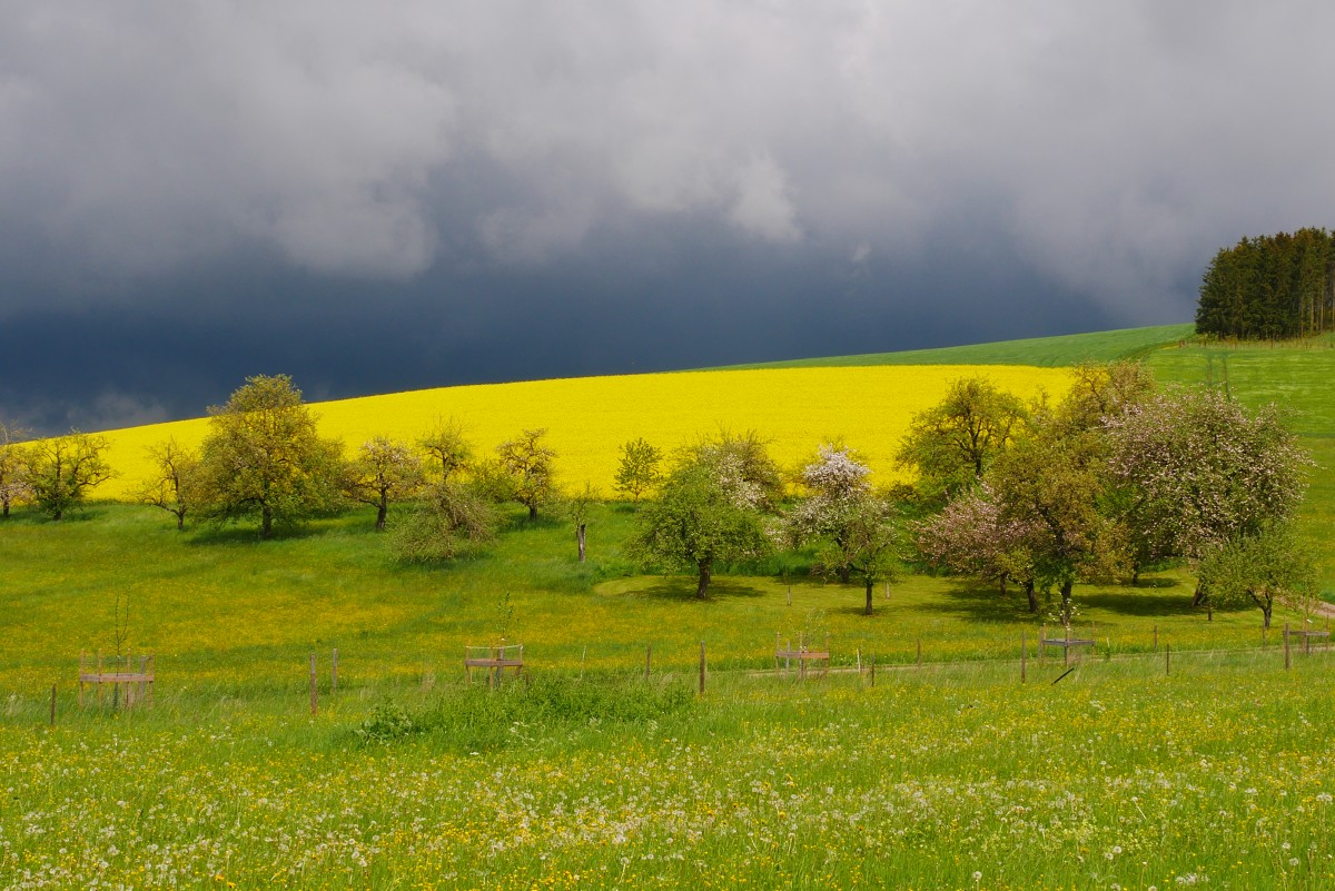
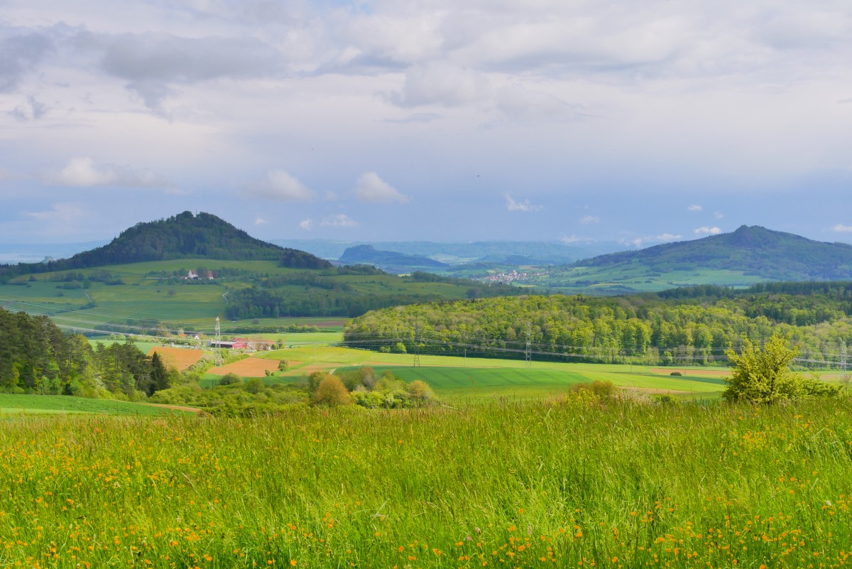
Von Blumberg geht es zunächst auf den Buchberg und dann über dessen Plateau weiter nach Osten. Dann schön über die Südhänge und in eine Senke mit Gewerbe. Weiter geht es weitgehend durch Wald bis Randen und dann auch durch ein ziemlich flaches Waldgebiet zum Blauen Stein, einem ersten Zeugen des Vulkanismus im Hegau. Durch Wiesen und Felder hinab nach Riedöschingen und ähnlich wieder hinauf. Nun wechseln sich auf einem schönen Höhenweg Waldstücke und aussichtsreiche Abschnitte ab, bis es schließlich nach Engen hinab geht.
The following users contributed to this text:
Hiking maps
No maps added yet
Marking
-
 Querweg Freiburg-Bodensee (Freiburg-Lake Constance Black Forest Trail)
Accommodation
| Accommodation | Price group | |||
|---|---|---|---|---|
| 5-15 € | 16-30 € | 31-45 € | >45 € | |
|
Gasthaus Hegauer Hof
Blumberg-Riedöschingen
Price group: 15-30 €
|
|
|||
|
Hegau-Familien-Camping
Tengen
Price group: 15-30 €
|
|
|||
|
Camping Sonnental
Engen
Price group: 5-15 €
|
|
|||
Sights
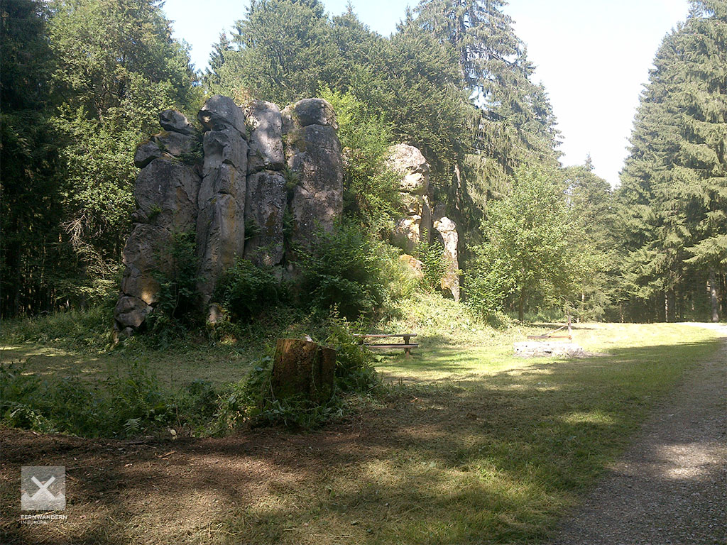
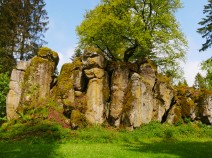
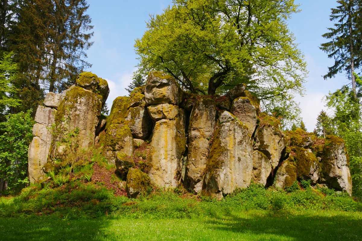
Blauer Stein (Blue Stone)
The "Blue Stone" is a basalt cone and a natural monument in the forest just before Riedöschingen. Benches and a grill and fireplace invite you to rest.
Literature

Sources and copyright
GPX track coordinates: © OpenStreetMap contributors. Published under Open Database License (ODbL)GPX-Downloads
You can use the GPX track for navigation and tour planning on your digital device (GPS, smartphone, online tour planner).
| Etappe Stage 10.13 Blumberg - Engen | Download (.gpx) |
| All tracks in Germany | Download (.zip) |
The download and many of the services offered on this page are free of charge. However, I would greatly appreciate a small donation as a token of appreciation for my work! This can be done through Paypal or a supporting membership. Thank you very much!