10.04 Mummelsee - Alexanderschanze (Kniebis)
22.8km
Distance
-
Walking time
636m
Total climb
699m
Total descent
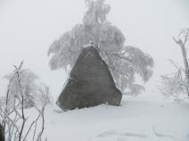
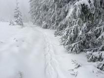
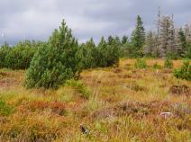
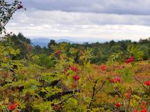
Photos
Stage description
N.B.: We don't have an English description of the stage just yet. We'll give you the German version for now until the English version is ready.
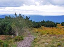
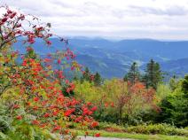
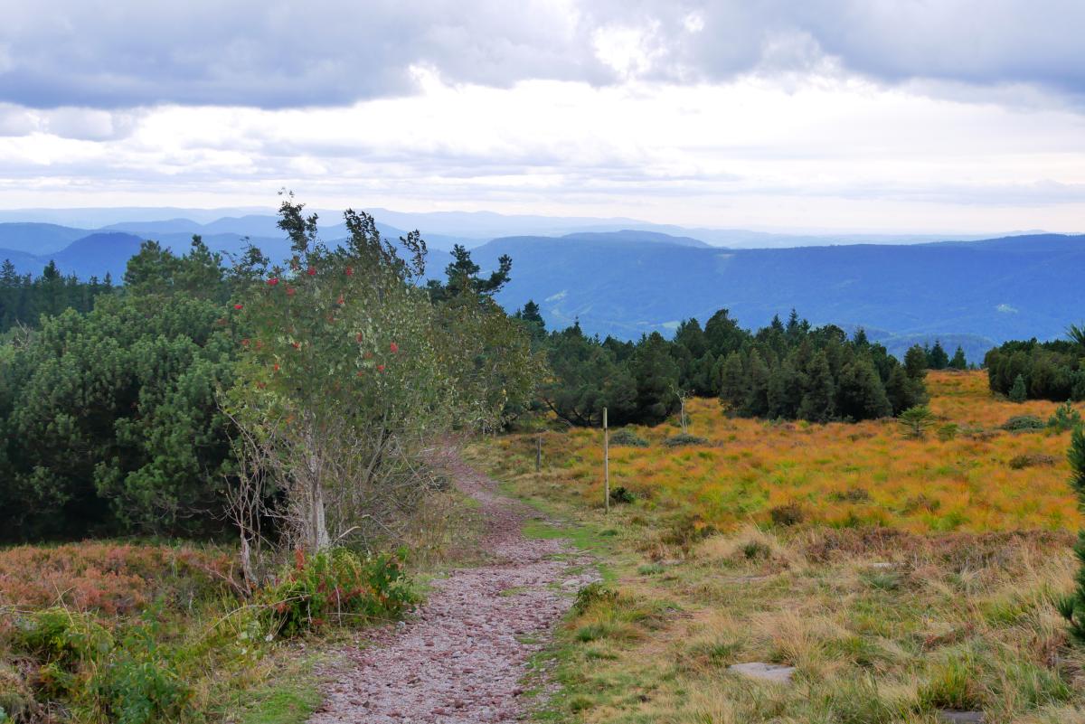
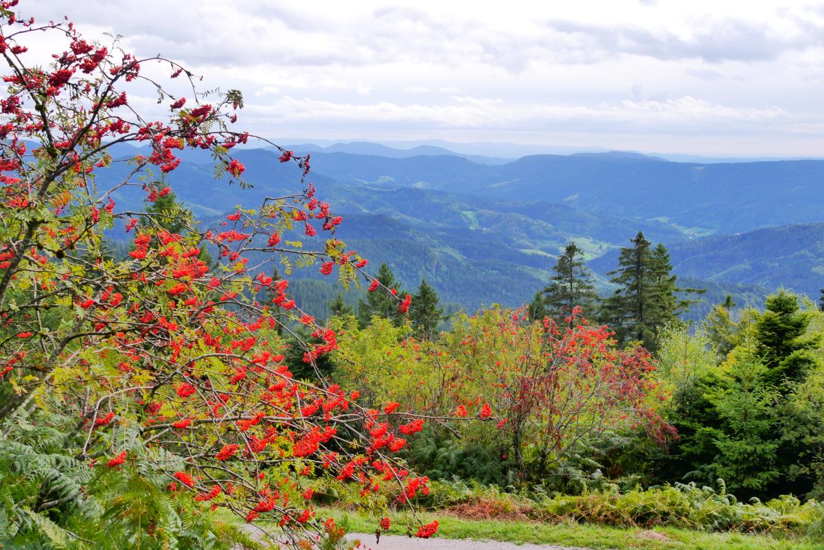
Eine Etappe, die bei gutem Wetter aussichtsreich ist.
Vom Mummelsee geht es zunächst parallel nah zur Straße zum Seibelseckle. Dann etwas höher durch schönen Bergwald zur Darmstädter Hütte. Von dort geht es oberhalb vom Wilden See um den Seekopf herum zum Wintersportort Ruhestein. Dort über einen Parkplatz auf weniger gut erkennbaren Wegen hinauf zum oberen Ende der Sprungschanze und von dort über den großen Parkplatz zur Schwarzwald-Hochstraße. Diese wird gequert und auf Fußwegen geht es jetzt nur noch sanft ansteigend zum Schliffkopf. Von dort geht es weiter südlich über Viehweiden zu einem Aussichtspunkt und dann bald auf Forstwegen etwas unterhalb des Bergkamms entlang. Der Kammbereich ist Wildschutzgebiet und darf nicht betreten werden. Dann geht es über eine Hochfläche mit Wiesen und durch ein Waldstück mit alten Schanzen zum Hotel Zuflucht. Von dort geht es erst auf einem asphaltierten Weg, dann auf immer schmaler werdenden Forst- und Waldwegen zur Alexanderschanze.
Entlang der Hochstraße bestehen gute Busverbindungen, die variierte Etappen erlauben.
The following users contributed to this text:
Hiking maps
No maps added yet
Marking
-
 Westweg
Accommodation
| Accommodation | Price group | |||
|---|---|---|---|---|
| 5-15 € | 16-30 € | 31-45 € | >45 € | |
|
Berghotel Mummelsee
Seebach
Price group: >45 €
|
|
|||
|
Zuflucht Natur- und Sporthotel
Zuflucht
Price group: 30-45,>45 €
|
|
|
||
|
Naturfreundehaus Kniebis
Kniebis-Freudenstadt
Price group: €
|
||||
|
Show more accommodation in Kniebis
(booking.com / Ad)
|
||||
Links
Wanderbares Deutschland - Westweg
Information about stages, accomodations and attractions of the Westweg (german)
http://www.wanderbares-deutschland.de/wanderwege/wanderwege-karte.html#westweg
fernwege.de - Westweg
Information about stages and accomodations of the Westweg (german)
Trekking Camp Kniebis
Campsite that can be booked for 10 Euro/night
https://www.trekking-schwarzwald.de/regionen/nordschwarzwald/camp_kniebis
Literature
Sources and copyright
GPX track coordinates: © OpenStreetMap contributors. Published under Open Database License (ODbL)GPX-Downloads
You can use the GPX track for navigation and tour planning on your digital device (GPS, smartphone, online tour planner).
| Etappe Stage 10.04 Mummelsee - Alexanderschanze (Kniebis) | Download (.gpx) |
| All tracks in Germany | Download (.zip) |
The download and many of the services offered on this page are free of charge. However, I would greatly appreciate a small donation as a token of appreciation for my work! This can be done through Paypal or a supporting membership. Thank you very much!