10.10 Feldberg - Lenzkirch
26km
Distance
-
Walking time
555m
Total climb
1229m
Total descent
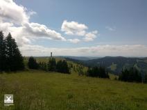
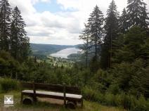
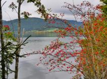
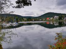
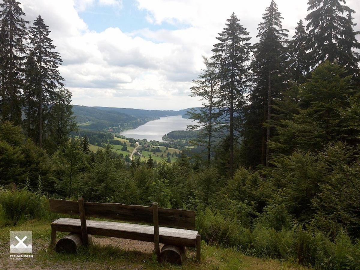
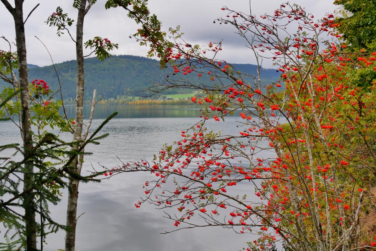
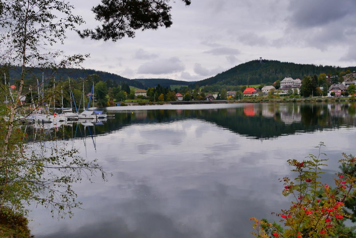
Photos
Stage description
No description available yet.
Hiking maps
No maps added yet
Marking
-
 Westweg
-
 Mittelweg
Westweg to Hochkopfhütte, then regionally marked and signposted. From Schluchsee on the Mittelweg.
Accommodation
| Accommodation | Price group | |||
|---|---|---|---|---|
| 5-15 € | 16-30 € | 31-45 € | >45 € | |
|
Naturfreundehaus Feldberg
Feldberg (Schwarzwald)
Price group: 15-30 €
|
|
|||
|
Zastler - Hütte
Feldberg (Schwarzwald)
Price group: €
|
||||
|
Jugendherberge Hebelhof Feldberg
Feldberg (Schwarzwald)
Price group: 15-30 €
|
|
|||
|
Naturcamp Schluchsee
Aha
Price group: €
|
||||
|
Camping Schluchsee
Schluchsee
Price group: 5-15 €
|
|
|||
|
Schwarzwald Camp
Schluchsee
Price group: €
|
||||
|
Jugendherberge Schluchsee-Wolfsgrund
Schluchsee-Wolfsgrund
Price group: 15-30 €
|
|
|||
|
Camping Kreuzhof
Lenzkirch
Price group: €
|
||||
|
Show more accommodation in Feldberg
, Schluchsee
and Lenzkirch
(booking.com / Ad)
|
||||
Sights
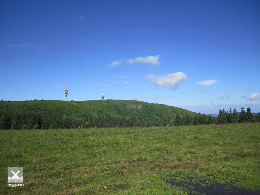
Feldberg
The Feldberg is with 1493m above sea level the highest elevation of the Black Forest and all German low mountain ranges. It is therefore also the highest point of the E1 in Germany.
Links
schluchtensteig.de
Information about stages and list of accommodation (german)
Sources and copyright
GPX track coordinates: © OpenStreetMap contributors. Published under Open Database License (ODbL)GPX-Downloads
You can use the GPX track for navigation and tour planning on your digital device (GPS, smartphone, online tour planner).
| Etappe Stage 10.10 Feldberg - Lenzkirch | Download (.gpx) |
| All tracks in Germany | Download (.zip) |
The download and many of the services offered on this page are free of charge. However, I would greatly appreciate a small donation as a token of appreciation for my work! This can be done through Paypal or a supporting membership. Thank you very much!