04.15 Rifugio Pacini - Montepiano
16.8km
Distance
-
Walking time
734m
Total climb
1043m
Total descent
Photos


Stage description
N.B.: We don't have an English description of the stage just yet. We'll give you the German version for now until the English version is ready.
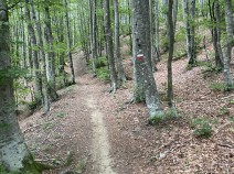
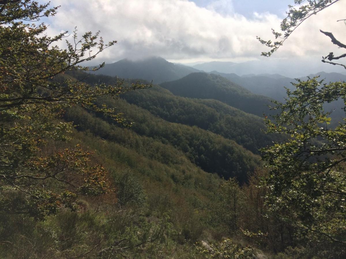
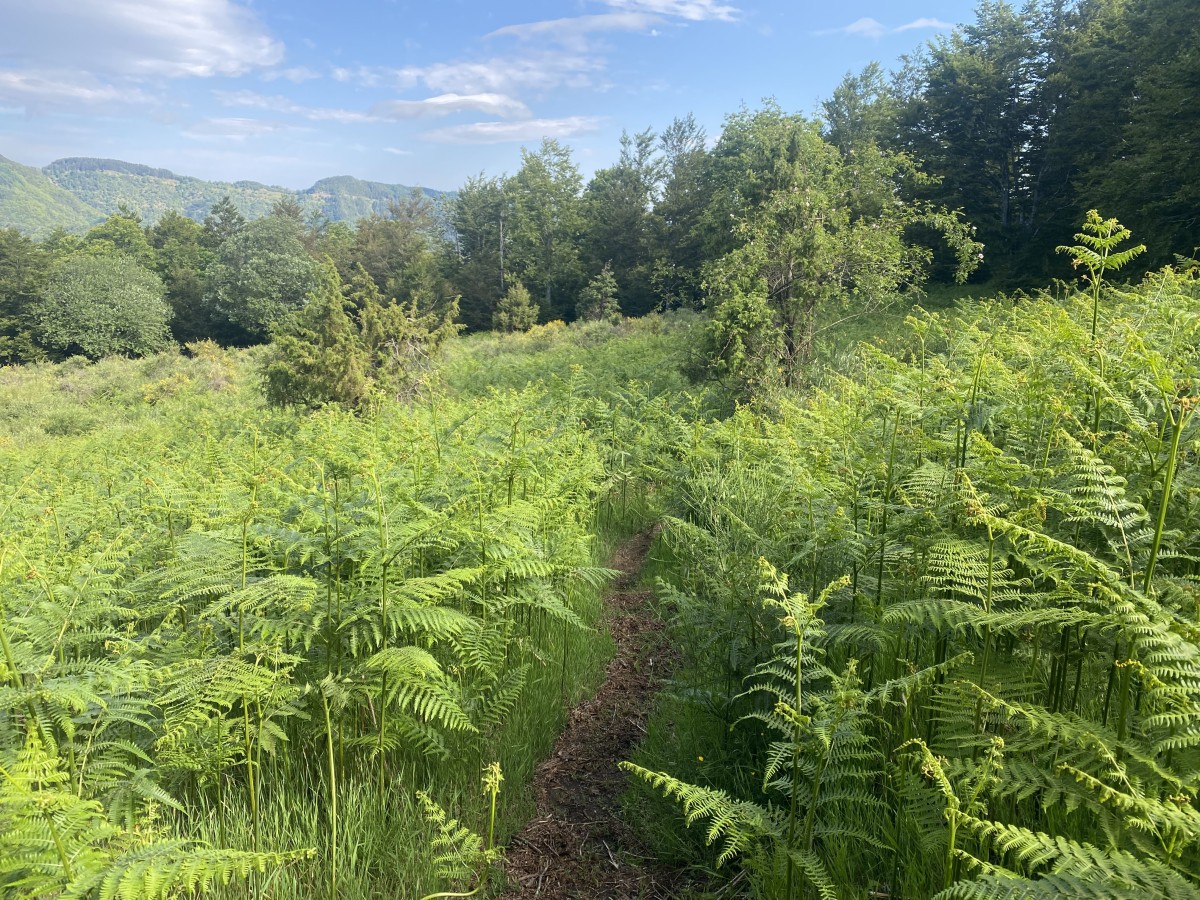
Vom Rifugio die Wiese hinauf, vorbei an dem großen Einzelbaum, bis im Dickicht ein kleiner Pfad beginnt. Diesem für kurze Zeit folgen, bis er auf eine Straße mündet. Rechts entlang ein paar 100 Meter der Straße folgen, bis links der E1 als kleiner Weg abbiegt. Vorbei an einer Quelle kommt man bald auf einen Forstweg, links abbiegen. Nach einem kurzen Stück darauf wiederum links (diesmal scharf) und ein Wanderweg führt einen über einige kleine Gipfelchen auf und ab. Ein kurzer steiler Abstieg bringt einen zu einer Straße mit kleiner Kapelle (bis hier ca. 2:15h). Auf einem steinigen Pfad geht es hoch zum Monte delle Scalette und lohnenswerten Ausblicken. Einige Zeit bleibt der Weg auf der Höhe und folgt dem Bergrücken, bevor es sanft bergab geht nach Alpe di Caverzano, einer Ansammlung alter Sommerhäuser. Dort links und der Straße ein Stück folgen, bis der Weg rechts davon abzweigt. Relativ steil bergab für ca. 45 Minuten, bis zum Agriturismo Fonte al Romito. Nach dem ersten Gebäude scharf links auf die Straße und weiter bergab. Der Straße folgend geht es noch eine halbe Stunde sanft bergab, durch das Dorf Badia und schließlich hinein nach Montepiano. Mehrere Unterkunfts- und Essensmöglichkeiten, Bäckerei, Post und ein kleiner Lebensmittelladen (letzterer leider recht teuer).
The following users contributed to this text:
Hiking maps
No maps added yet
Marking
-
 Grande Escursione Appenninica (GEA)
Accommodation
| Accommodation | Price group | |||
|---|---|---|---|---|
| 5-15 € | 16-30 € | 31-45 € | >45 € | |
|
Rifugio CAI Luigi Pacini
Price group: €
|
||||
|
Eremo del viandante
Price group: €
|
||||
|
Posto Tappa GEA Montepiano
Montepiano
Price group: €
|
||||
|
Hotel Margherita
Montepiano (PO)
Price group: €
|
||||
Links
enrosadira.it - Emilia-Romagna / Tuscany / GEA
Information about the E1 in Emilia-Romagna and Tuscany.
Literature

Sources and copyright
GPX track coordinates: © OpenStreetMap contributors. Published under Open Database License (ODbL)GPX-Downloads
You can use the GPX track for navigation and tour planning on your digital device (GPS, smartphone, online tour planner).
| Etappe Stage 04.15 Rifugio Pacini - Montepiano | Download (.gpx) |
| All tracks in Italy | Download (.zip) |
The download and many of the services offered on this page are free of charge. However, I would greatly appreciate a small donation as a token of appreciation for my work! This can be done through Paypal or a supporting membership. Thank you very much!