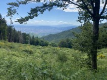
04.13 Pracchia - Cascina di Spedaletto
18.6km
Distance
-
Walking time
923m
Total climb
699m
Total descent
Photos
Stage description
N.B.: We don't have an English description of the stage just yet. We'll give you the German version for now until the English version is ready.
In Pracchia folgt man dem Weg zunächst vom Bahnhof kommend ein Stück ortseinwärts, bis ein GEA-Schild einen Weg unter der Bahn hindurch ausweist. Man folgt jetzt längere Zeit dem teilweise asphaltierten Fahrweg. In einer scharfen Kurve hinter einem Betonlüftungsschacht des Eisenbahntunnels geht es rechts von der Straße ab. Man folgt einem kleinen Pfad, um sogleich wieder nach links abzubiegen. Nun geht es steil aufwärts bis oben wieder ein breiter Weg erreicht wird. Die Markierung ist immer ausreichend.
Am Passo di Collina existiert eine Einkehrmöglichkeit. Am Restaurant folgt man dem Wegweiser kurz nach links, um sogleich wieder nach rechts abzubiegen. Weiter geht es auf einem kleinen Weg, bis wieder ein breiter Weg erreicht ist. Diesem folgt man nach links und biegt nach einiger Zeit wieder nach links ab, um einem Pfad über den Monte Lattei zu folgen. Nach einiger Zeit wird wieder der breite Weg erreicht, dem wieder nach links gefolgt wird. Auf einer kleinen Straße geht es links ab. Weiter geht es zunächst auf- und dann wieder abwärts bis zur Straße, die überschritten wird. Auf einem asphaltierten Weg geht es weiter bis Cascina di Spedaletto.
The following users contributed to this text:
Hiking maps
No maps added yet
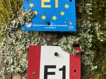
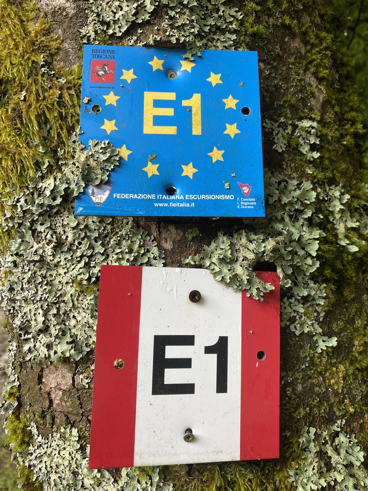
Marking
-
 Grande Escursione Appenninica (GEA)
Accommodation
| Accommodation | Price group | |||
|---|---|---|---|---|
| 5-15 € | 16-30 € | 31-45 € | >45 € | |
|
Hotel Ristorante Melini
Pracchia (PT)
Price group: >45 €
|
|
|||
|
B&B La Tuia
Pracchia (PT)
Price group: >45 €
|
|
|||
|
B&B La margherita
Pracchia PT
Price group: €
|
||||
|
Show more accommodation in Pracchia
(booking.com / Ad)
|
||||
Links
enrosadira.it - Emilia-Romagna / Tuscany / GEA
Information about the E1 in Emilia-Romagna and Tuscany.
Literature

Sources and copyright
GPX track coordinates: © OpenStreetMap contributors. Published under Open Database License (ODbL)GPX-Downloads
You can use the GPX track for navigation and tour planning on your digital device (GPS, smartphone, online tour planner).
| Etappe Stage 04.13 Pracchia - Cascina di Spedaletto | Download (.gpx) |
| All tracks in Italy | Download (.zip) |
The download and many of the services offered on this page are free of charge. However, I would greatly appreciate a small donation as a token of appreciation for my work! This can be done through Paypal or a supporting membership. Thank you very much!