Lombardy
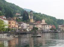
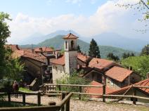
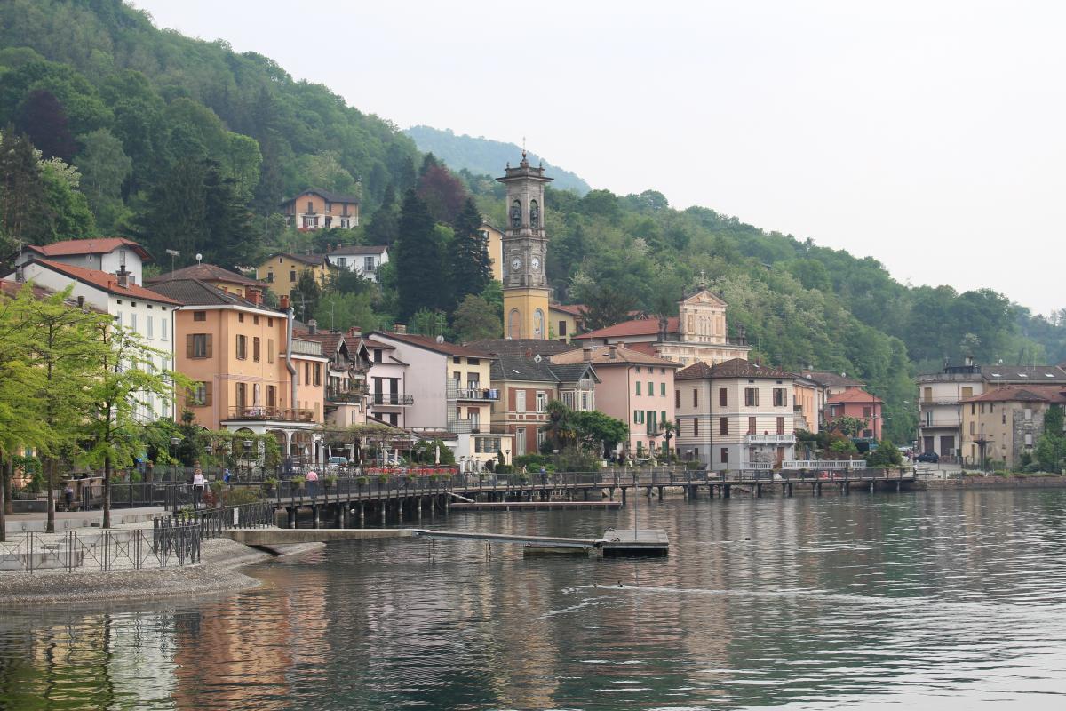
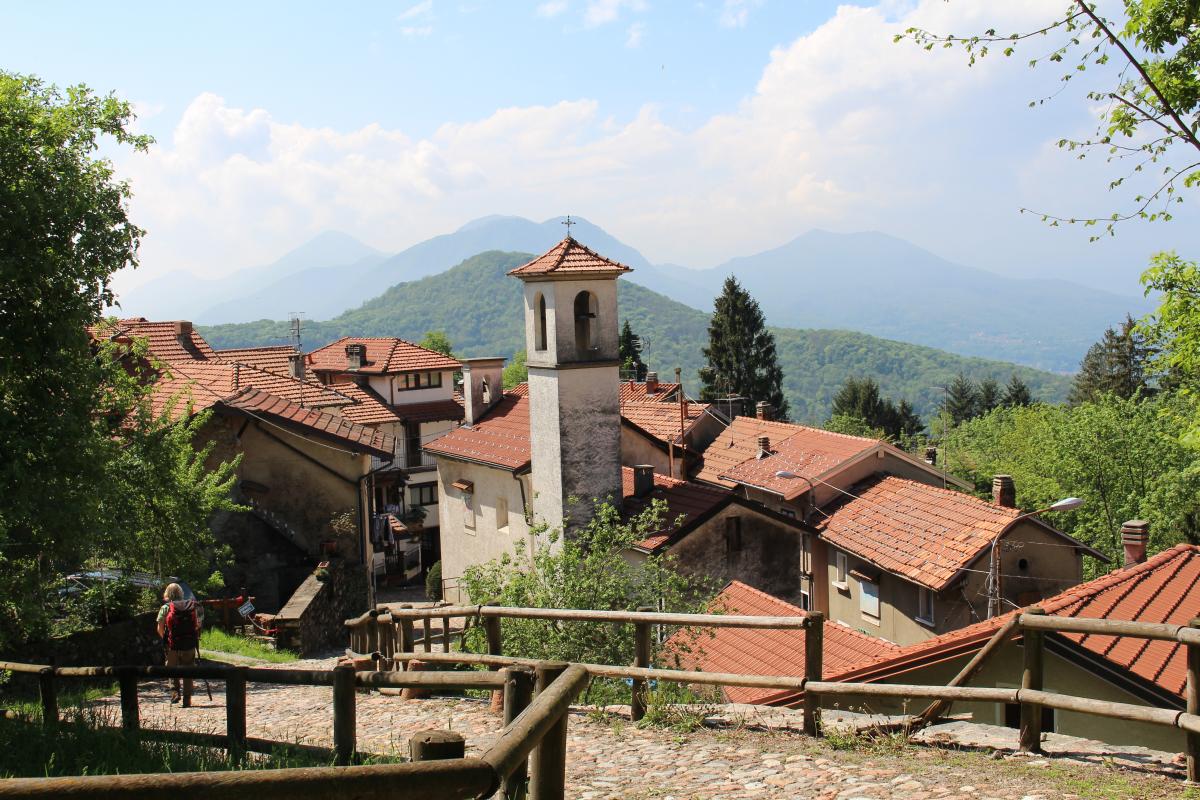
The northernmost section of the E1 in Italy begins in Porto Ceresio on Lake Lugano opposite Switzerland. The "Parco Regionale del Campo dei Fiori" is traversed in initially still mountainous terrain before the E1 reaches Lago di Varese and leaves the Alps behind. From Sesto Calende, the E1 follows the Ticino River through the Po Valley west of Milan.
Shortly before Pavia, the E1 leaves the Ticino in a south-westerly direction and leads to the Po and Piedmont.
Last text update:
16.02.2020
Authors
 Show authors
Stage overview
| Stage | Distance | Walking time | Total climb | Total descent |
|---|---|---|---|---|
| 01.01 Porto Ceresio - Brinzio | 20.3km | - | 1256m | 1023m |
| 01.02 Brinzio - Gavirate | 19.5km | - | 1035m | 1282m |
| 01.03 Gavirate - Sesto Calende | 22.6km | - | 607m | 644m |
| 1.04 Sesto Calende - Turbigo | 29.8km | - | 496m | 591m |
| 01.05 Turbigo - Casterno | 25.7km | - | 460m | 488m |
| 01.06 Casterno - Besate | 23.7km | - | 305m | 324m |
| 01.07 Besate - Gropello Cairoli | 25.6km | - | 324m | 331m |
| 01.08 Gropello Cairoli - Sannazzaro De' Burgondi | 12.2km | - | 127m | 126m |
Climate
FIE_TABELLEN_ANZEIGEN
Meteorological station Novara/Cameri, Italy (Altitude: 169m)
-
Monthly means of the daily highs and lows in degrees Celsius
Jan Feb Mar Apr May Jun Jul Aug Sep Oct Nov Dec ∅ Max. 5.1 8.0 12.9 17.0 21.4 25.5 28.4 27.5 24.0 17.8 10.7 6.1 ∅ Min. -3.2 -1.5 1.5 5.0 9.5 12.9 15.4 15.1 11.8 6.6 1.5 -2.2 -
Mean total precipitation in mm
Jan Feb Mar Apr May Jun Jul Aug Sep Oct Nov Dec ∅ mm 59.0 73.3 95.0 104.0 127.0 82.0 55.0 85.0 72.0 110.0 83.0 50.0
Source: DWD Climate Data Center - Climatological monthly means covering period 1961-1990
(Monthly Normals) for stations worldwide