04.22 Badia Prataglia - Chiusi della Verna
24.5km
Distance
-
Walking time
1230m
Total climb
1156m
Total descent
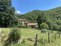
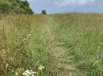
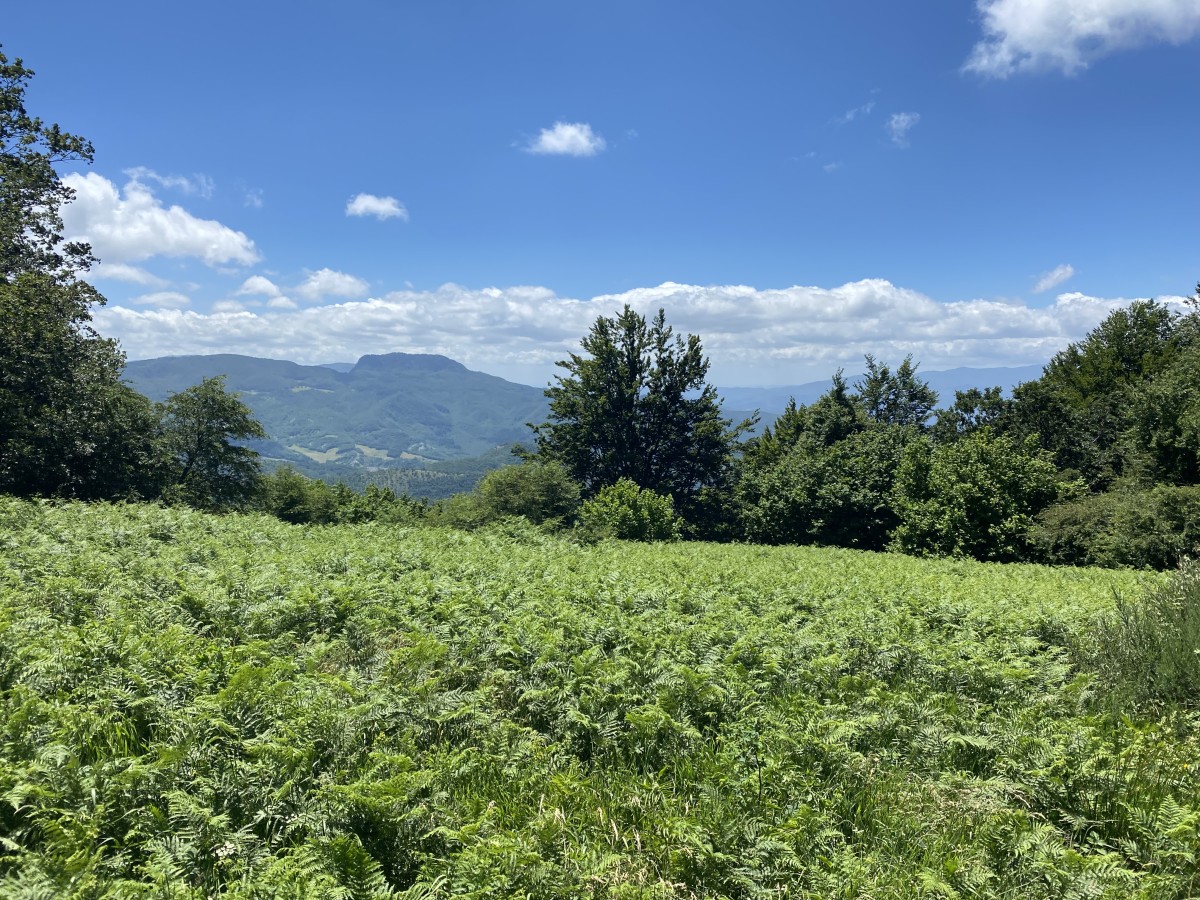
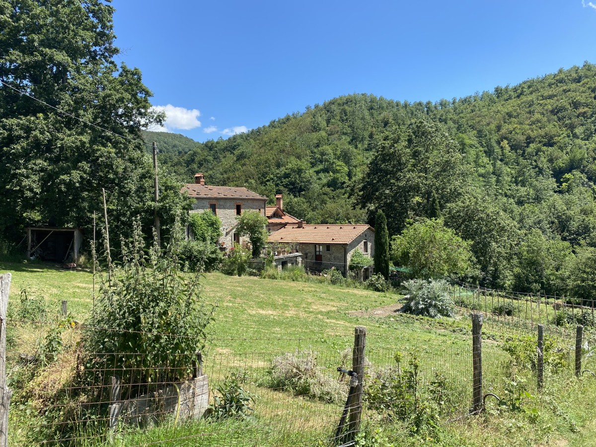
Photos


Stage description
N.B.: We don't have an English description of the stage just yet. We'll give you the German version for now until the English version is ready.
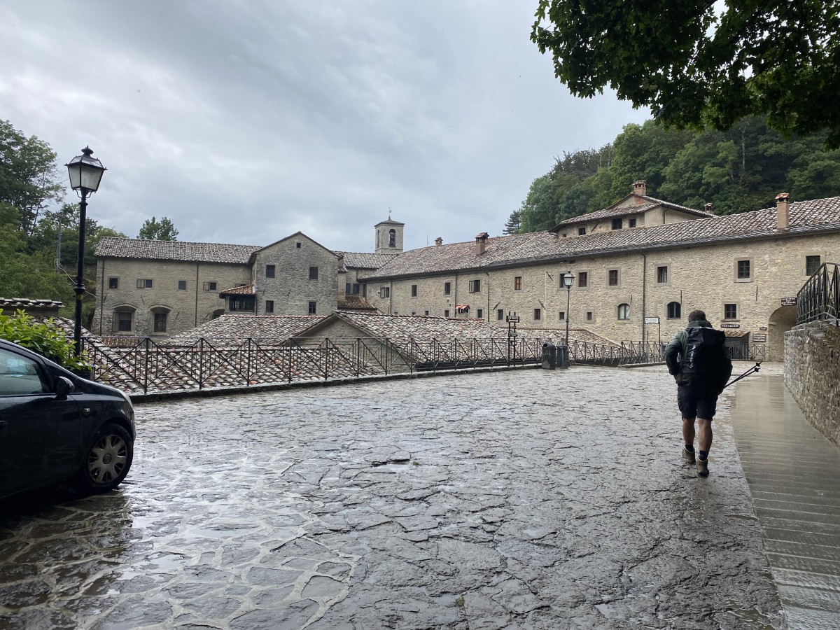
In Badia Prataglia der Hauptstraße bis zum Ortsende folgen und dort rechts abbiegen auf eine Straße Richtung Chiusi della Verna. Der Straße folgt man geraume Zeit. An einem Sägewerk geht es links ab und folgt längere Zeit einem Bach, zum Schluss geht es auf einem Pfad steiler aufwärts zum Passo dei Mandrioli. Hier geht es nach rechts dem GEA folgend auf befestigten Wegen und kleinen Pfaden überwiegend durch Buchenwald. Höchster Punkt ist der Poggio Montalto (1302 m). Weiter geht es auf Pfaden zum Poggio Tre Vescovi. Weiter auf dem GEA Richtung La Verna. Vom Passo delle Gualanciole längere Zeit auf breiter Forststraße bis kurz vor den Monte Calvano, wo man eine wunderschöne Rundsicht hat. Dann teilweise steiler Abstieg zum Croce della Calla. Weiter auf breiten Wegen zum Kloster Santuario della Verna, wo man auf den Spuren des heiligen Franz übernachten und essen kann. Weiter nach Chiusi Della Verna.
The following users contributed to this text:
Hiking maps
No maps added yet
Marking
-
 Grande Escursione Appenninica (GEA)
Accommodation
| Accommodation | Price group | |||
|---|---|---|---|---|
| 5-15 € | 16-30 € | 31-45 € | >45 € | |
|
Rifugio del Lupo
Price group: €
|
||||
|
B&B Doccione di Sotto
Price group: 30-45 €
|
|
|||
|
Santuario La Verna
Chiusi della Verna (AR)
Price group: €
|
||||
|
Albergo La Verna
Chiusi Della Verna AR
Price group: >45 €
|
|
|||
|
Hotel Ristorante Bellavista
Chiusi della Verna
Price group: 30-45 €
|
|
|||
|
Hotel Ristorante Da Giovanna
Chiusi della Verna
Price group: >45 €
|
|
|||
|
Albergo Ristorante Letizia
Chiusi della Verna (AR)
Price group: 30-45 €
|
|
|||
|
Show more accommodation in Badia Prataglia
and Chiusi della Verna
(booking.com / Ad)
|
||||
Links
enrosadira.it - Emilia-Romagna / Tuscany / GEA
Information about the E1 in Emilia-Romagna and Tuscany.
Literature

Sources and copyright
GPX track coordinates: © OpenStreetMap contributors. Published under Open Database License (ODbL)GPX-Downloads
You can use the GPX track for navigation and tour planning on your digital device (GPS, smartphone, online tour planner).
| Etappe Stage 04.22 Badia Prataglia - Chiusi della Verna | Download (.gpx) |
| All tracks in Italy | Download (.zip) |
The download and many of the services offered on this page are free of charge. However, I would greatly appreciate a small donation as a token of appreciation for my work! This can be done through Paypal or a supporting membership. Thank you very much!