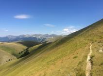
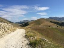
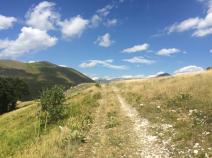
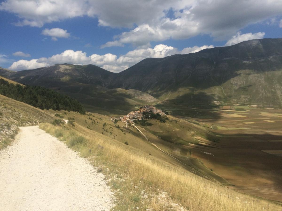
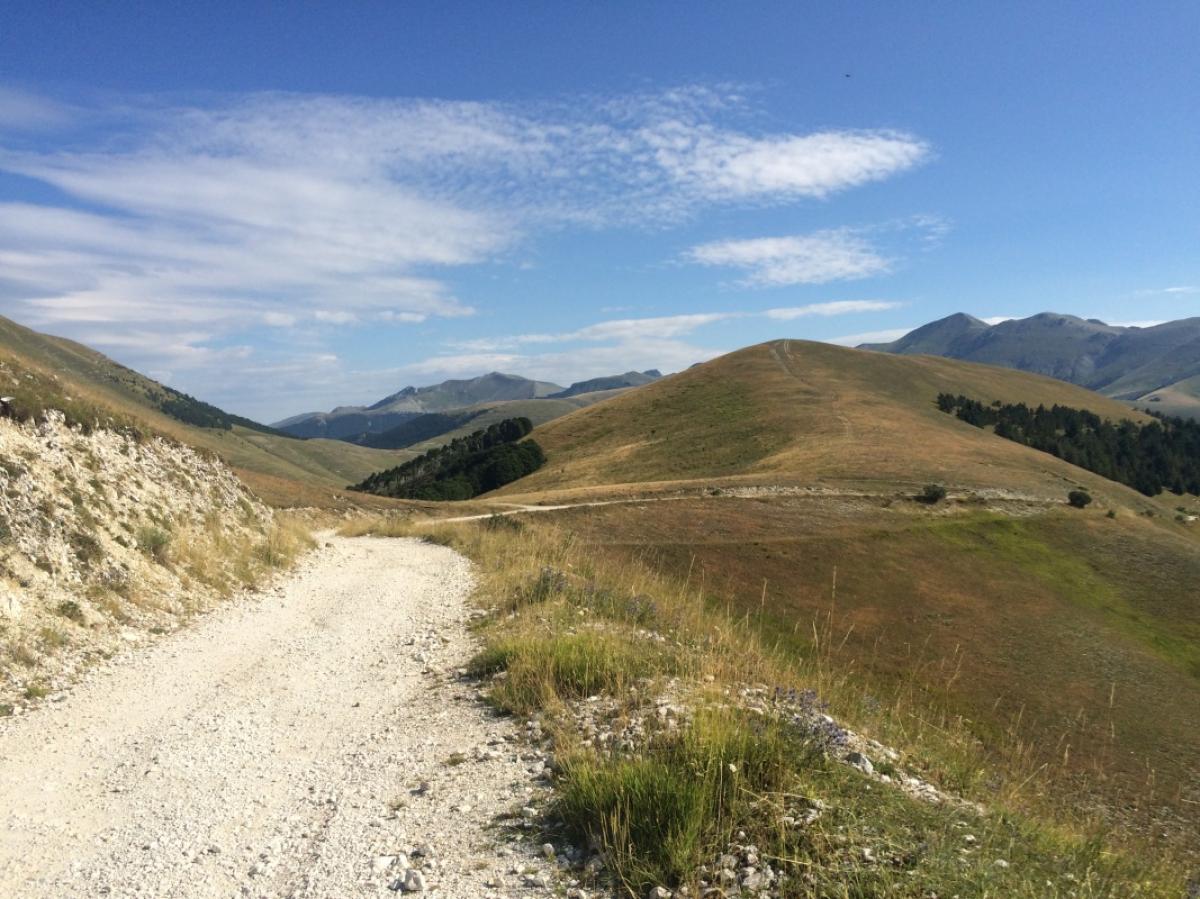
Umbria

Stage overview
| Stage | Distance | Walking time | Total climb | Total descent |
|---|---|---|---|---|
| 05.01 Bocca di Trabaria - Bocca Serriola | 24.4km | - | 928m | 1238m |
| 05.02 Bocca Serriola - Acquapartita | 15.3km | - | 782m | 650m |
| 05.03 Acquapartita - Tranquillo | 25.3km | - | 963m | 1382m |
| 05.04 Tranquillo - Scheggia | 11.1km | - | 611m | 469m |
| 05.05 Scheggia - Val di Ranco | 14.4km | - | 873m | 386m |
| 05.06 Val di Ranco - Valsorda | 20km | - | 1095m | 1178m |
| 05.07 Valsorda - Conca di Monte Alago | 20km | - | 869m | 917m |
| 05.08 Conca di Monte Alago - Colfiorito | 22.1km | - | 730m | 918m |
| 05.09 Colfiorito - Saccovescio | 32.3km | - | 1533m | 1573m |
| 05.10 Saccovescio - Castelluccio | 25.9km | - | 1596m | 900m |
| 05.11 Castelluccio - Forca Canapine | 11.3km | - | 393m | 277m |
Climate
FIE_TABELLEN_ANZEIGEN
Da ich bisher keine frei nutzbare Klimatabelle für Umbrien gefunden habe, werden nachfolgend die Werte des unweit gelegenen Ortes Frantone in Marken angezeigt.
Meteorological station Frontone (Marche), Italy (Altitude: 574m)
-
Monthly means of the daily highs and lows in degrees Celsius
Jan Feb Mar Apr May Jun Jul Aug Sep Oct Nov Dec ∅ Max. 6.1 7.0 10.2 14.2 19.2 23.4 26.8 26.1 21.9 16.2 10.8 7.1 ∅ Min. 1.4 2.0 4.0 7.2 11.4 14.9 17.7 17.3 14.5 10.6 6.1 2.7 -
Mean total precipitation in mm
Jan Feb Mar Apr May Jun Jul Aug Sep Oct Nov Dec ∅ mm 76.0 86.0 91.0 96.0 107.0 88.0 65.0 92.0 100.0 110.0 140.0 106.0
Source: DWD Climate Data Center - Climatological monthly means covering period 1961-1990
(Monthly Normals) for stations worldwide