04.16 Montepiano - Passo della Futa
13.5km
Distance
-
Walking time
645m
Total climb
443m
Total descent
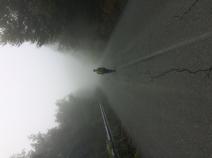
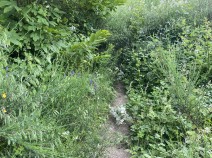
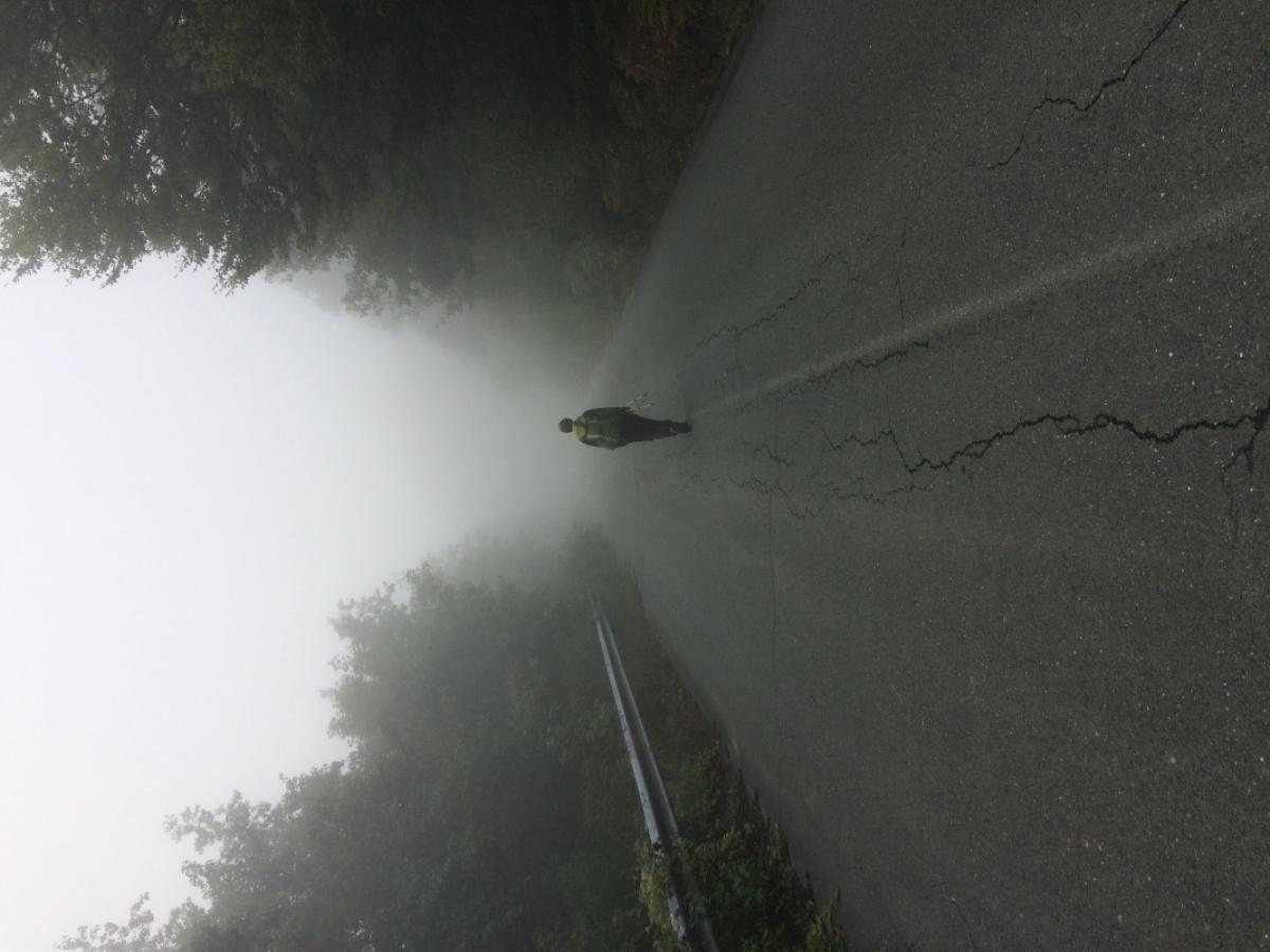
Photos

Stage description
N.B.: We don't have an English description of the stage just yet. We'll give you the German version for now until the English version is ready.
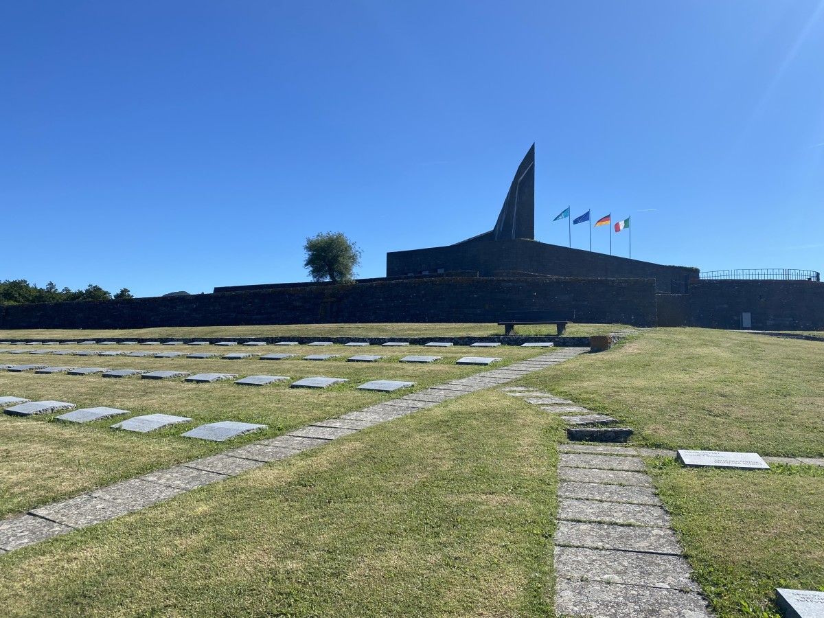
In Montepiano an der Apotheke im spitzen Winkel rechts ab und dann der durchgehend ausreichenden Markierung des 00 folgen. Diese Etappe verläuft überwiegend auf Waldpfaden und teilweise Forstwegen (wobei letztere bei feuchtem Wetter sehr, sehr matschig bis unpassierbar werden!). Vorsicht bei nahenden Motorgeräuschen: Motorcross ist hier beliebt - anscheinend auch erlaubt - und keiner der Fahrer scheint mit Wanderern auf den Wegen zu rechnen. Die letzte halbe Stunde dann auf einer verlassenen Straße bis zum Passo della Futa, wo gegenüber dem Soldatenfriedhof im Kreisverkehr links eine Straße abzweigt, an der wenige Meter weiter ein Albergo auftaucht. Alternative Übernachtungsmöglichkeit in Traversa, 2 km nach Norden, wohin auch ein Bus - unter der Woche auch in häufigen Abständen - fährt.
The following users contributed to this text:
Hiking maps
No maps added yet
Marking
-
 Grande Escursione Appenninica (GEA)
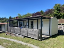
Accommodation
| Accommodation | Price group | |||
|---|---|---|---|---|
| 5-15 € | 16-30 € | 31-45 € | >45 € | |
|
Posto Tappa GEA Montepiano
Montepiano
Price group: €
|
||||
|
Hotel Margherita
Montepiano (PO)
Price group: €
|
||||
|
Ristorante Passo Della Futa
Price group: €
|
||||
|
Camping La Futa
Firenzuola (FI)
Price group: 15-30 €
|
|
|||
|
Camping Il Sergente
Barberino di Mugello (FI)
Price group: €
|
||||
|
Ristorante Albergo Pizzeria Dancing Il Sergente
Barberino di Mugello (FI)
Price group: €
|
||||
Links
enrosadira.it - Emilia-Romagna / Tuscany / GEA
Information about the E1 in Emilia-Romagna and Tuscany.
Literature

Sources and copyright
GPX track coordinates: © OpenStreetMap contributors. Published under Open Database License (ODbL)GPX-Downloads
You can use the GPX track for navigation and tour planning on your digital device (GPS, smartphone, online tour planner).
| Etappe Stage 04.16 Montepiano - Passo della Futa | Download (.gpx) |
| All tracks in Italy | Download (.zip) |
The download and many of the services offered on this page are free of charge. However, I would greatly appreciate a small donation as a token of appreciation for my work! This can be done through Paypal or a supporting membership. Thank you very much!