04.19 Casaglia - Passo del Muraglione
25.2km
Distance
-
Walking time
1436m
Total climb
1376m
Total descent
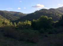
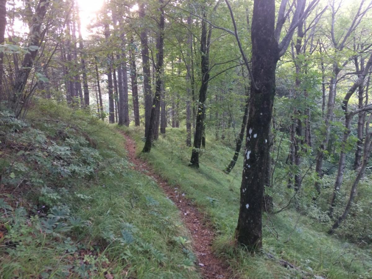
Photos


Stage description
N.B.: We don't have an English description of the stage just yet. We'll give you the German version for now until the English version is ready.
Ende Mai bis Anfang Juni ist für diesen Teilabschnitt des E1 eine hervorragende Wanderzeit. Der Einstieg in Crespino ist uns leider nicht richtig geglückt (am Ortsende muss der Weg 535 hoch auf den E1 führen). Wir sind deshalb der Straße solange gefolgt, bis der E1 (hier durchgängig zumeist sehr gut als GEA beschildert) diese kreuzt. Hier ging es links ab zu einem Bauernhaus. Der Wegweiser an der Straße zeigte in die entgegengesetzte Richtung. Man folgt dem Weg weiter runter bis zum Bach, der auf einer kleinen Brücke überquert wird. Man muss sich hier rechts an einer Scheune vorbei über einen Zaun bewegen, wobei im Wald sofort wieder Markierungen auftauchen. Diesem Weg folgt man bergauf bis zum Poggio degli Allochi. Von hier geht es weiter als schöne Kammwanderung zumeist auf Pfaden, auf kurzen Abschnitten auch auf breiteren Wegen bis zum Passo del Muraglione.
The following users contributed to this text:
Hiking maps
No maps added yet
Marking
-
 Grande Escursione Appenninica (GEA)
Accommodation
| Accommodation | Price group | |||
|---|---|---|---|---|
| 5-15 € | 16-30 € | 31-45 € | >45 € | |
|
Prati Piani
Price group: €
|
||||
|
B&B La Ginestra
Crespino del Lamone
Price group: €
|
||||
|
Show more accommodation in San Godenzo
(booking.com / Ad)
|
||||
Links
enrosadira.it - Emilia-Romagna / Tuscany / GEA
Information about the E1 in Emilia-Romagna and Tuscany.
Literature

Sources and copyright
GPX track coordinates: © OpenStreetMap contributors. Published under Open Database License (ODbL)GPX-Downloads
You can use the GPX track for navigation and tour planning on your digital device (GPS, smartphone, online tour planner).
| Etappe Stage 04.19 Casaglia - Passo del Muraglione | Download (.gpx) |
| All tracks in Italy | Download (.zip) |
The download and many of the services offered on this page are free of charge. However, I would greatly appreciate a small donation as a token of appreciation for my work! This can be done through Paypal or a supporting membership. Thank you very much!