Stage
04.14 Cascina di Spedaletto - Rifugio Pacini
7.4km
Distance
-
Walking time
505m
Total climb
370m
Total descent
Photos
Stage description
N.B.: We don't have an English description of the stage just yet. We'll give you the German version for now until the English version is ready.
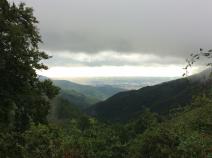
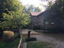
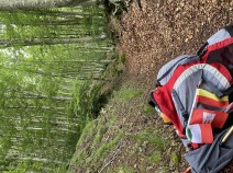
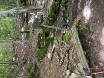
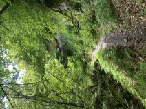
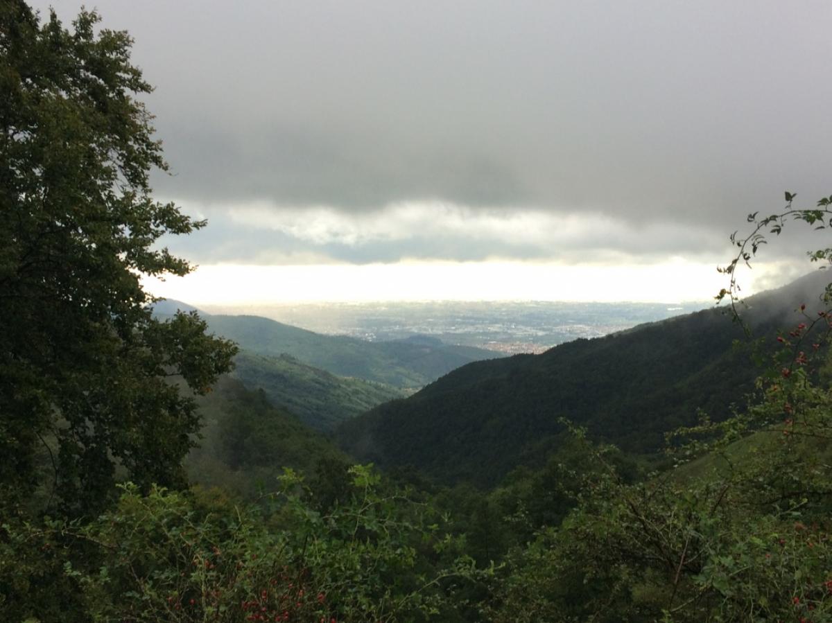
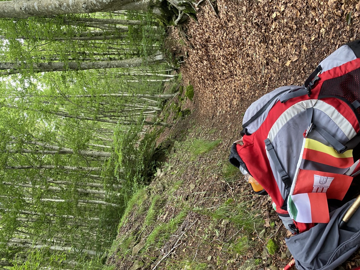
Von Cascina di Spedaletto geht es an dem großen Gebäude rechts vorbei, über den Rasen und über eine kleine Brücke. Dann beginnt ein zunächst recht steiler Aufstieg auf einem ausgewaschenen Pfad durch Schiefergestein - Vorsicht, bei Regen sehr rutschig. Der Untergrund wird jedoch nach 30-45 Minuten wieder fester und das Gelände weniger steil. Die verbleibenden zwei Stunden geht es auf angenehmen Waldwegen problemlos zum Rifugio Pacini, wo es Wasser, in den Sommermonaten Verpflegung und in den anderen Jahreszeiten einen kleinen Notraum mit zwei Betten und einem Ofen gibt.
Last text update:
19.11.2019
Authors
 Show authors
The following users contributed to this text:
Hiking maps
No maps added yet
Marking
-
 Grande Escursione Appenninica (GEA)
Accommodation
| Accommodation | Price group | |||
|---|---|---|---|---|
| 5-15 € | 16-30 € | 31-45 € | >45 € | |
|
Cascina le Barbe
Price group: €
|
||||
|
Rifugio Cascina le Cave
Price group: 5-15 €
|
|
|||
|
Rifugio CAI Luigi Pacini
Price group: €
|
||||
Links
enrosadira.it - Emilia-Romagna / Tuscany / GEA
Information about the E1 in Emilia-Romagna and Tuscany.
Literature

Sources and copyright
GPX track coordinates: © OpenStreetMap contributors. Published under Open Database License (ODbL)GPX-Downloads
You can use the GPX track for navigation and tour planning on your digital device (GPS, smartphone, online tour planner).
| Etappe Stage 04.14 Cascina di Spedaletto - Rifugio Pacini | Download (.gpx) |
| All tracks in Italy | Download (.zip) |
The download and many of the services offered on this page are free of charge. However, I would greatly appreciate a small donation as a token of appreciation for my work! This can be done through Paypal or a supporting membership. Thank you very much!