4.03 Wennebostel - Steinhude
36.3km
Distance
-
Walking time
161m
Total climb
175m
Total descent
Photos


Stage description
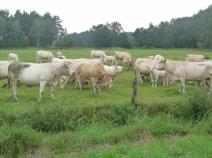
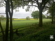
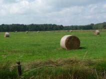
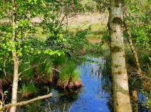
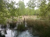
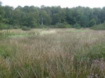
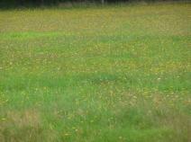
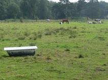
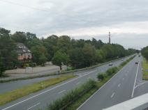
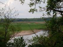
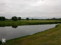
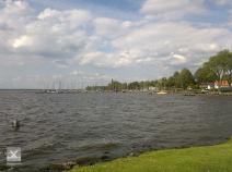
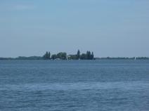
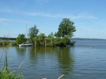
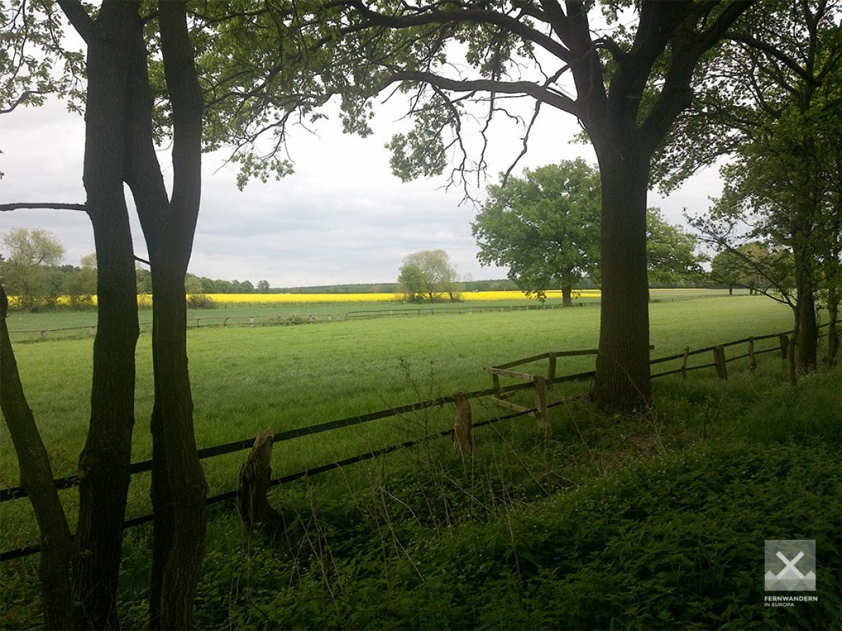
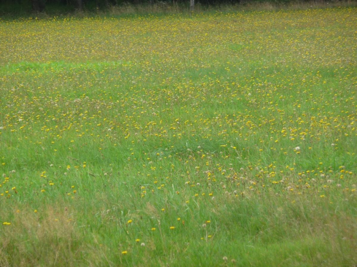
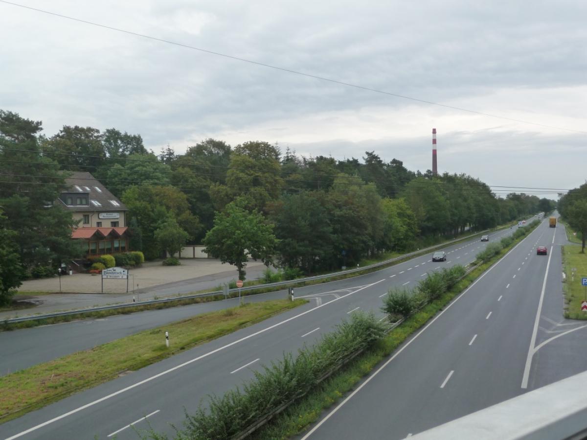
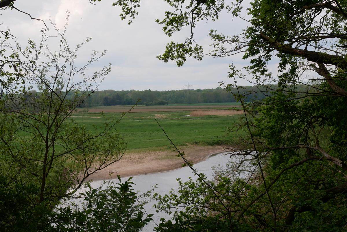
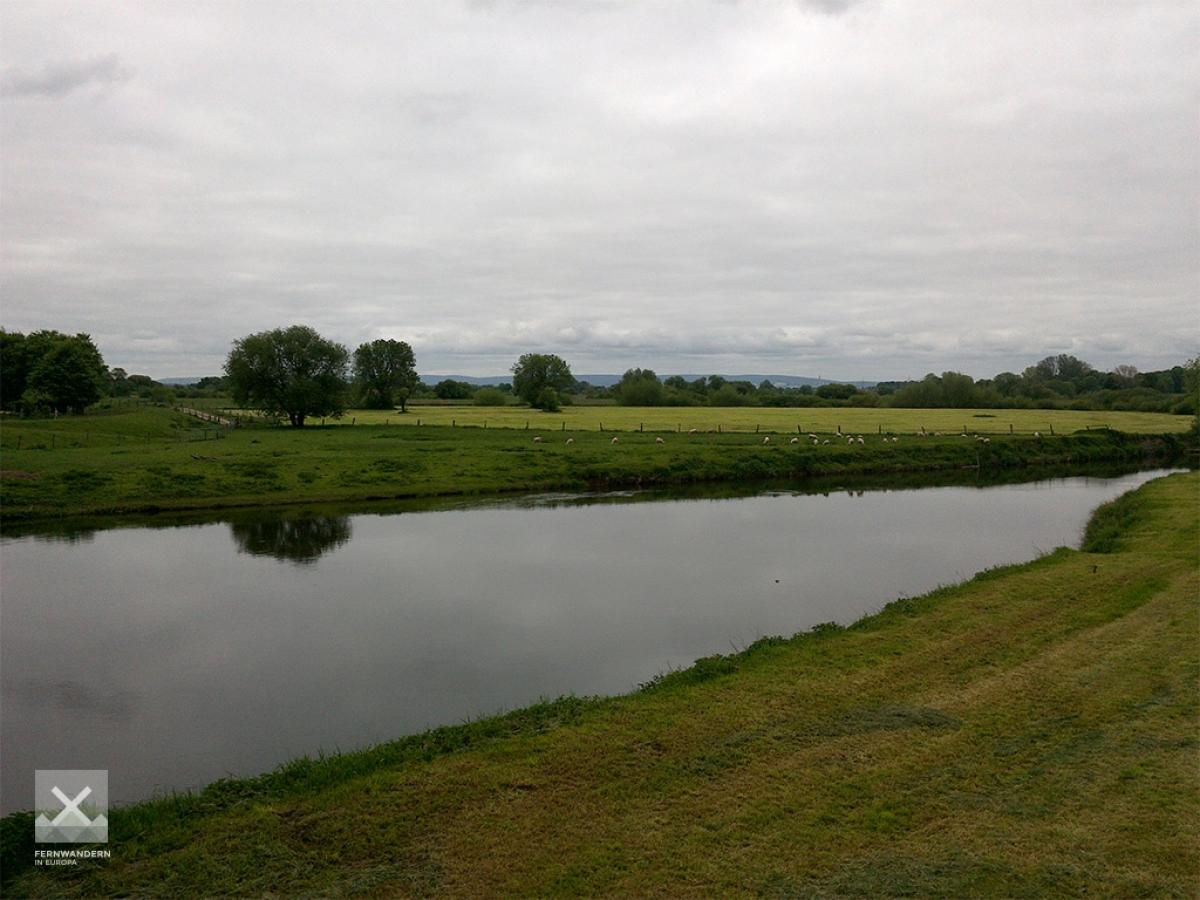
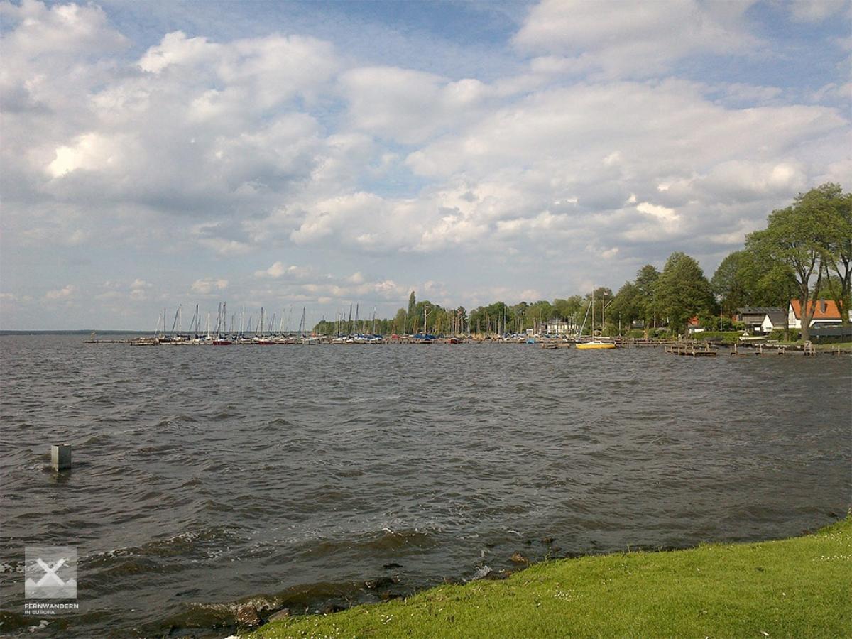
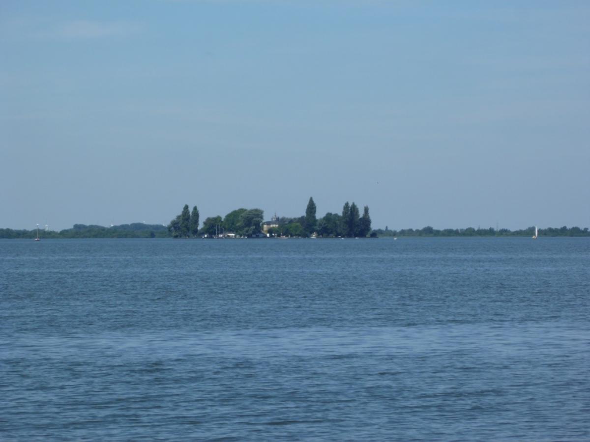
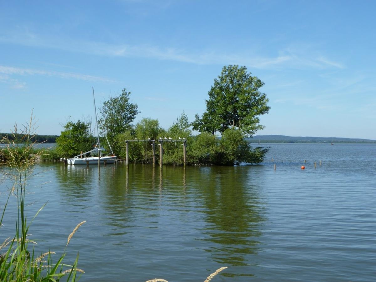
A long stage with unfortunately very few scenic highlights and a very high proportion of asphalt. The most beautiful part of the tour is without a doubt the Otternhagener Moor, especially the way to its western edge. The wonderful view of the Lake Steinhude at the end of this last flatland stage compensates for the longe walks through villages (especially the 3 km through Bordenau, Poggenhagen and at the Wunstorf air base).
Hiking maps
No maps added yet
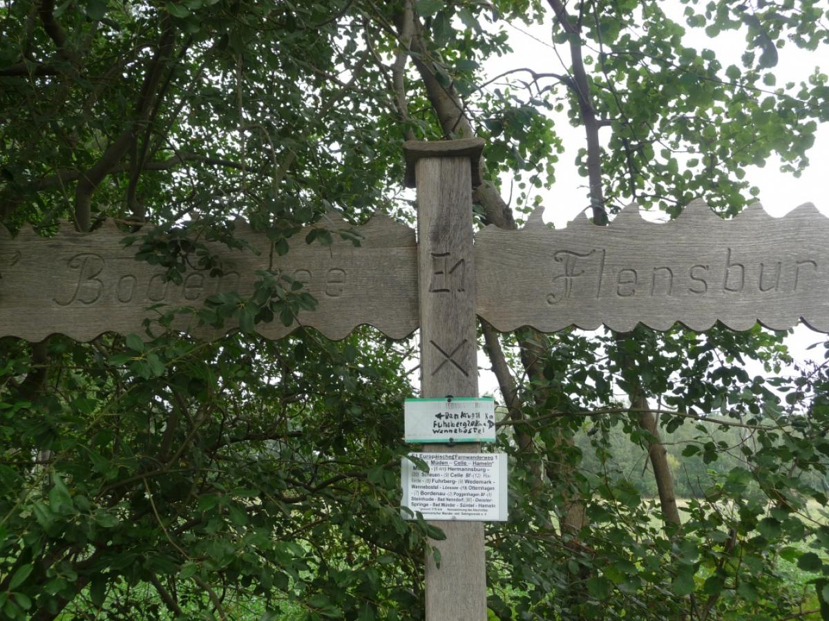
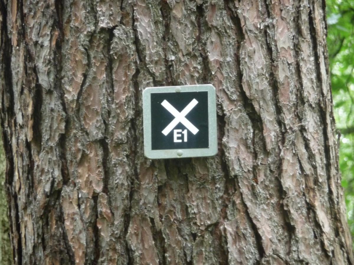
Marking
-
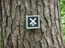
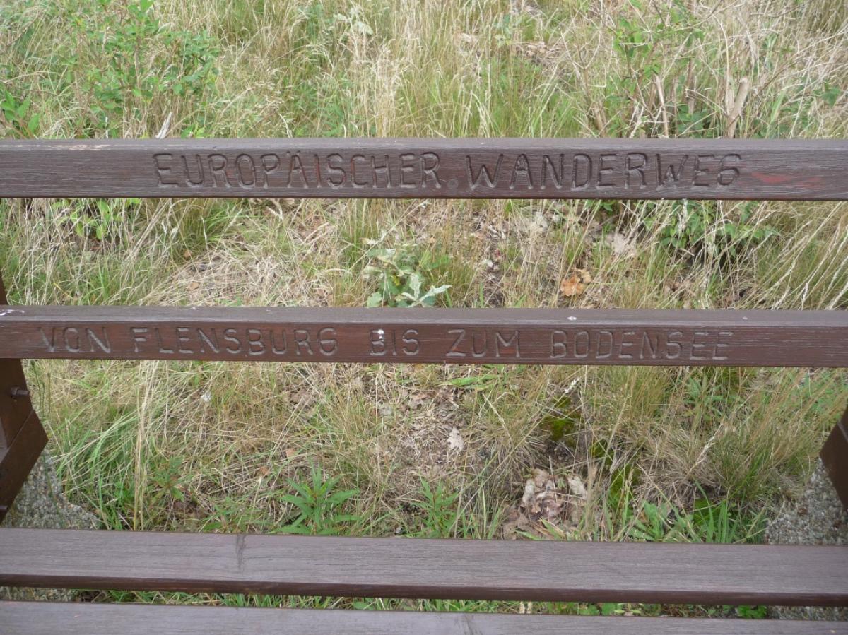
 St. Andrew's cross / E1
Accommodation
| Accommodation | Price group | |||
|---|---|---|---|---|
| 5-15 € | 16-30 € | 31-45 € | >45 € | |
|
Campingplatz Natels-Heidesee
Wedemark
Price group: €
|
||||
|
Zimmervermietung Schwager
Wedemark
Price group: 15-30 €
|
|
|||
|
Hotel Restaurant Perl
Neustadt-Otternhagen
Price group: >45 €
|
|
|||
|
Hotel Damhirsch
Neustadt am Rübenberge
Price group: €
|
||||
|
Show more accommodation in Wennebostel
, Neustadt am Rübenberge
and Steinhude
(booking.com / Ad)
|
||||
Links
Tourist Info Steinhude
Literature

Sources and copyright
GPX track coordinates: © OpenStreetMap contributors. Published under Open Database License (ODbL)GPX-Downloads
You can use the GPX track for navigation and tour planning on your digital device (GPS, smartphone, online tour planner).
| Etappe Stage 4.03 Wennebostel - Steinhude | Download (.gpx) |
| All tracks in Germany | Download (.zip) |
The download and many of the services offered on this page are free of charge. However, I would greatly appreciate a small donation as a token of appreciation for my work! This can be done through Paypal or a supporting membership. Thank you very much!