4.02 Celle - Wennebostel
29.4km
Distance
-
Walking time
119m
Total climb
107m
Total descent
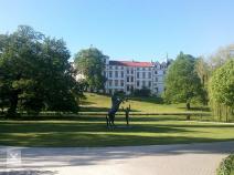
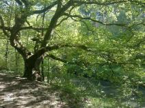
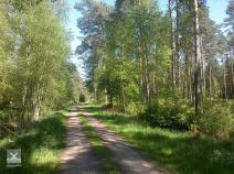
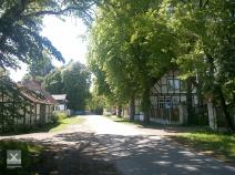
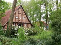
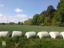
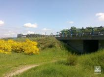
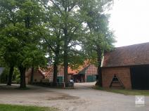
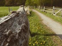
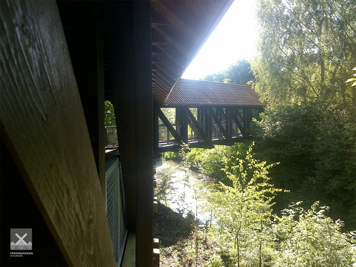
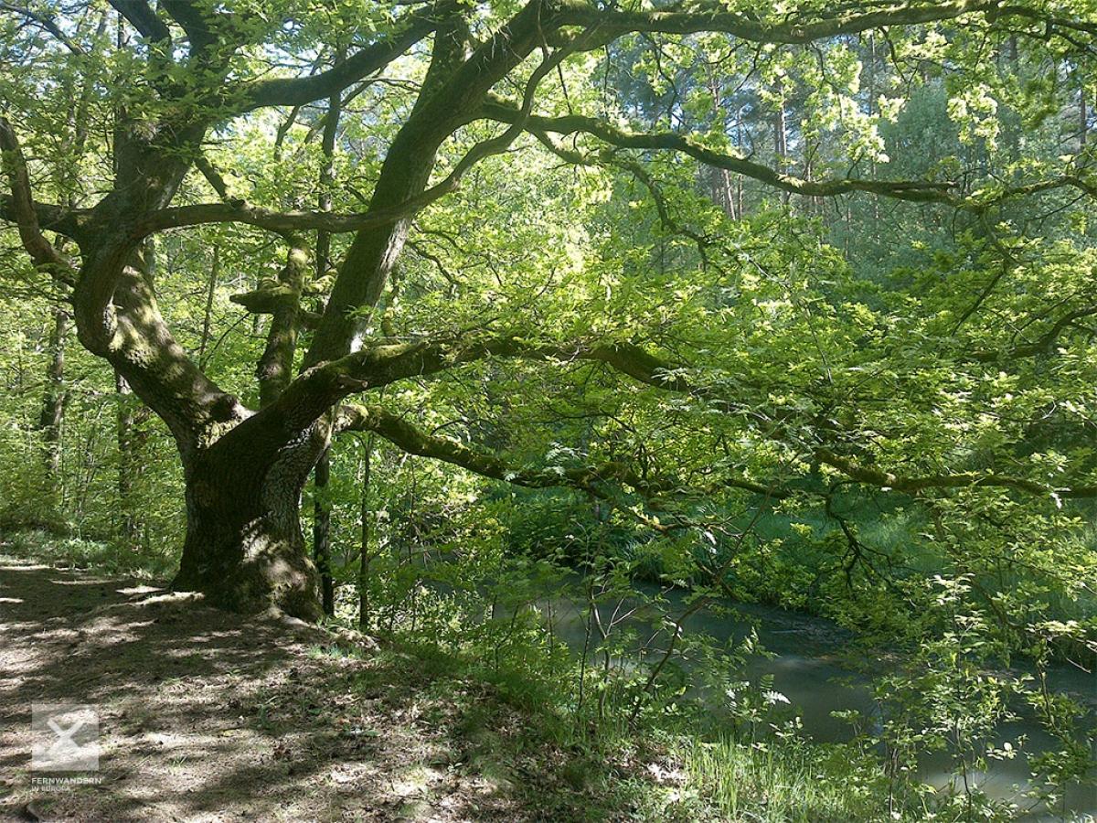
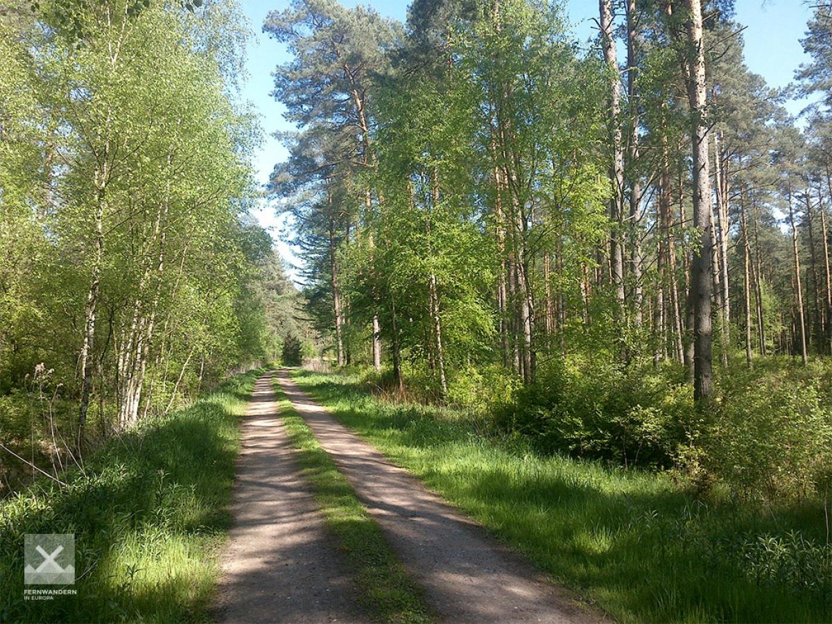
Photos

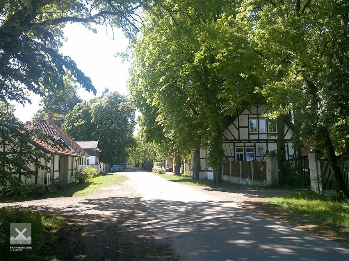
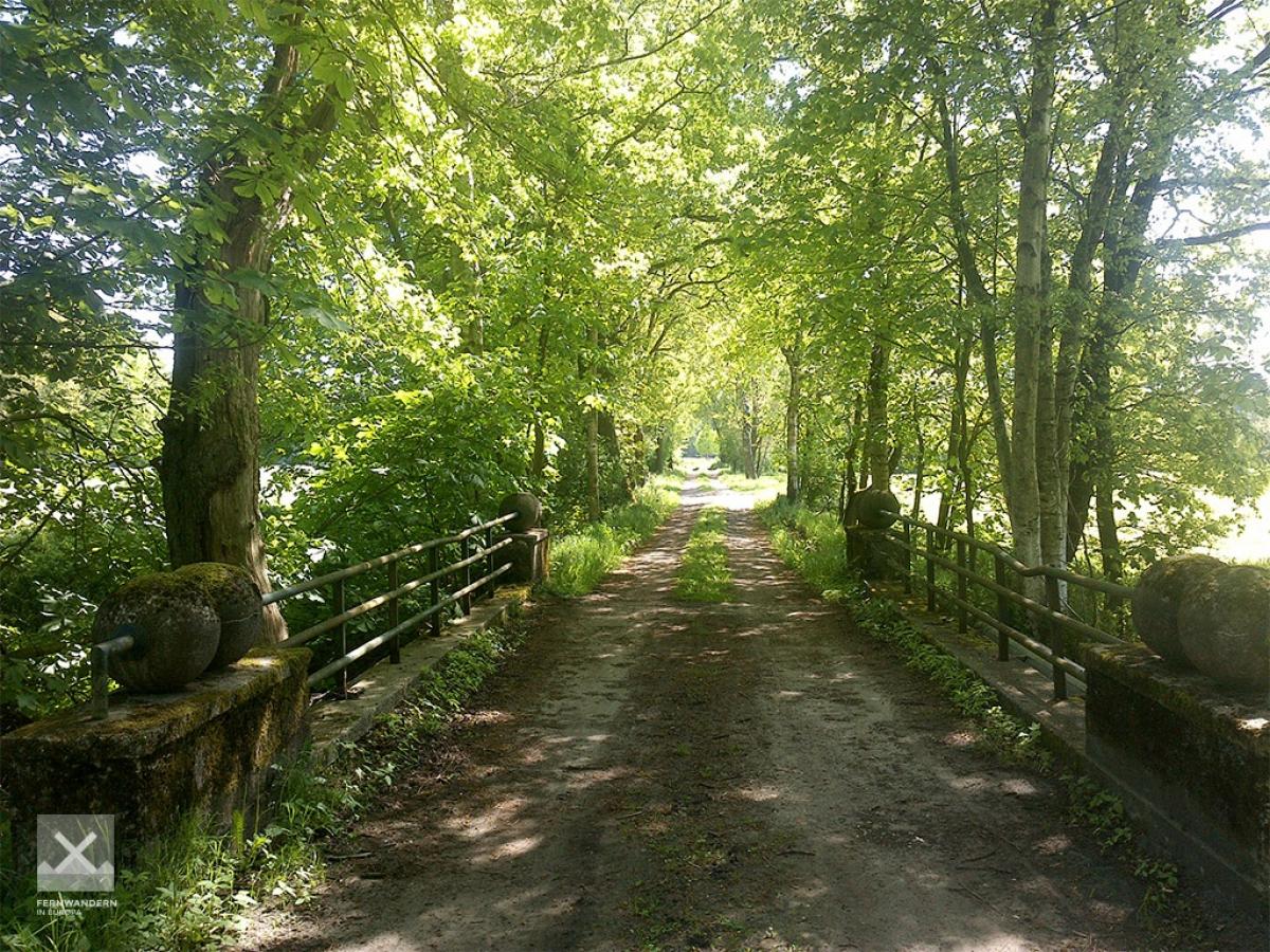
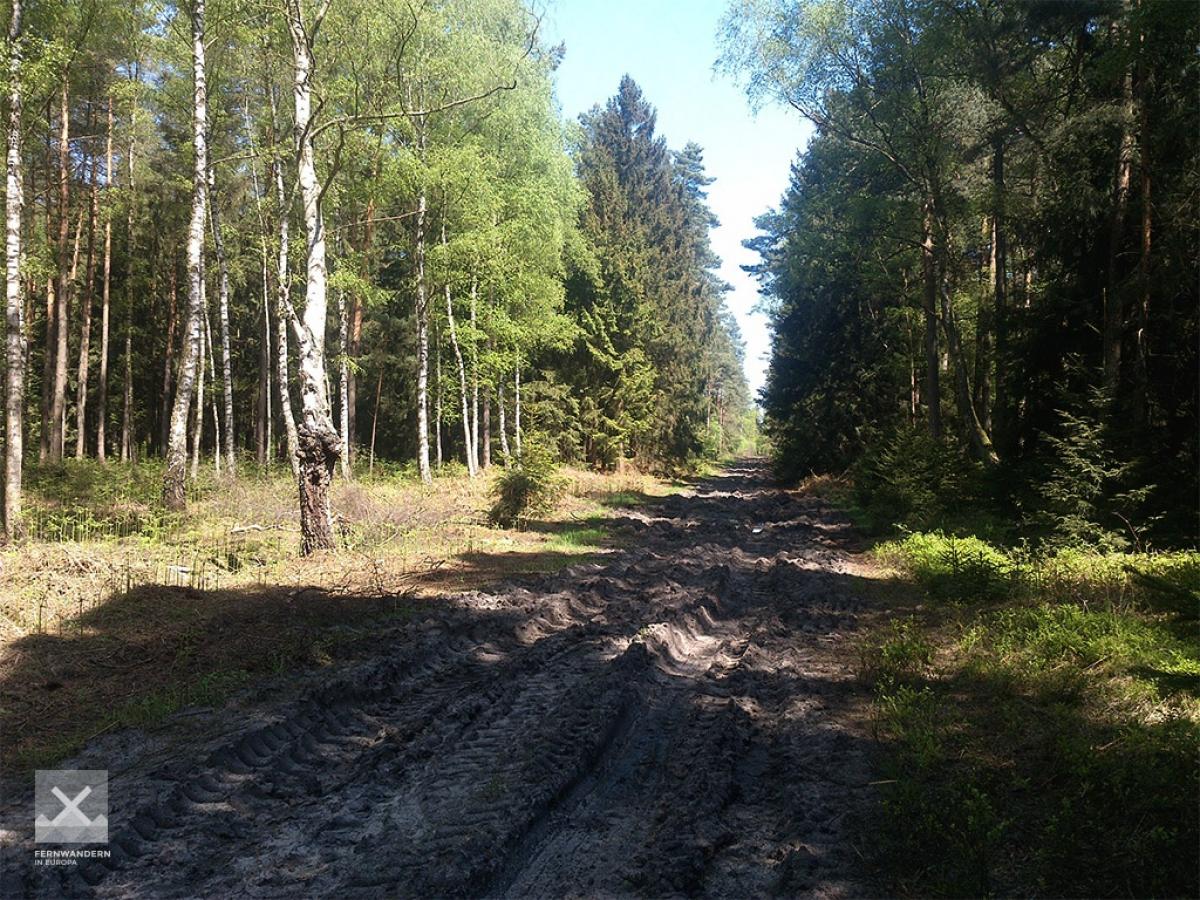
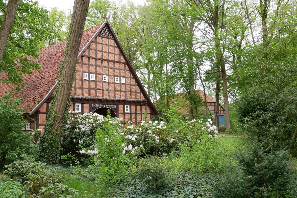
Stage description
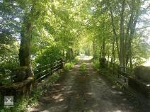
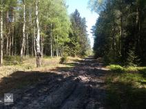
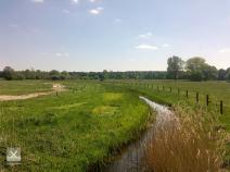
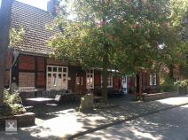
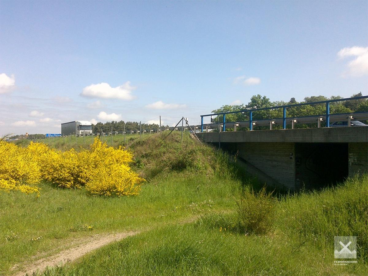
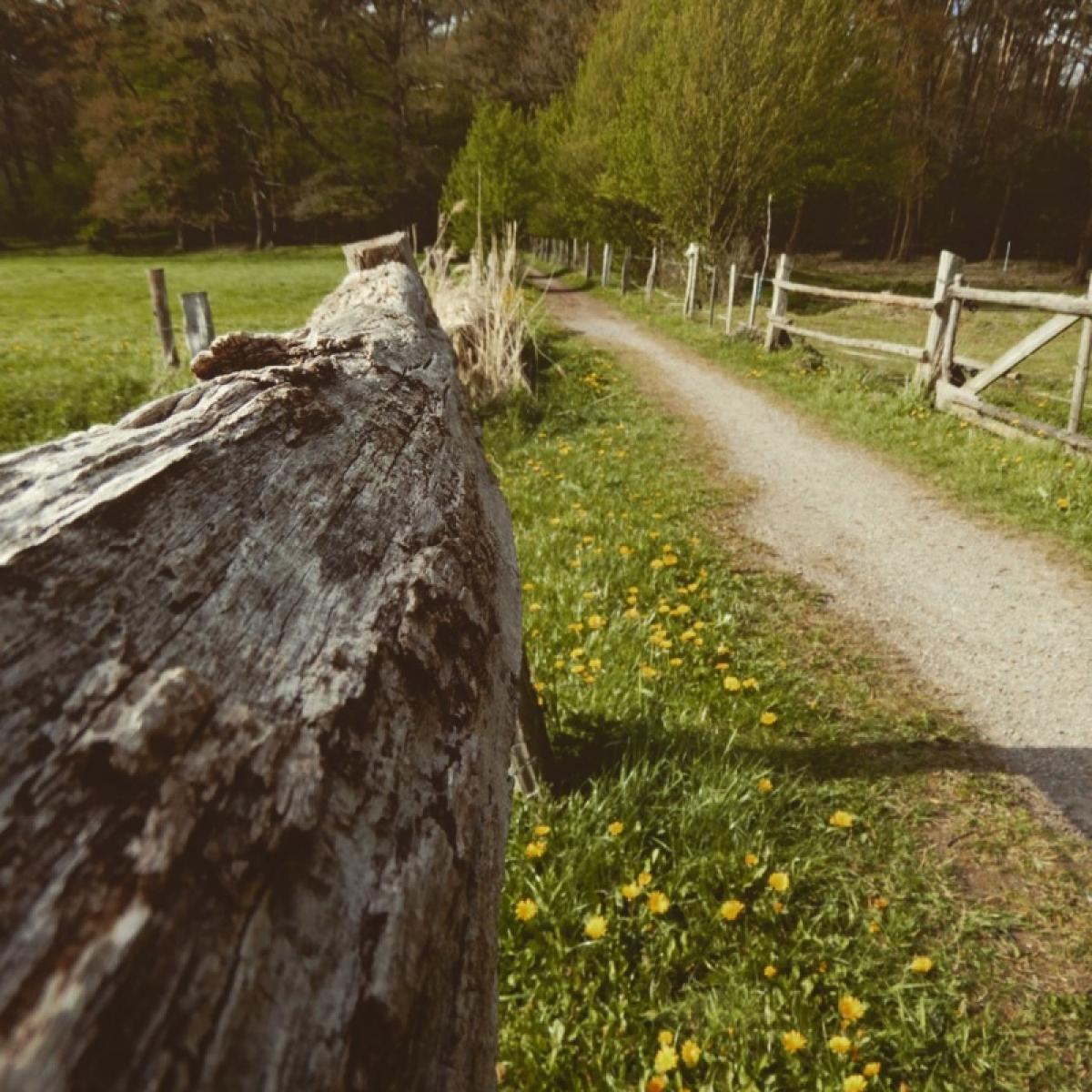
After leaving Celle, the path takes a long forest trail via the farm buildings in Rixförde and the former guest house (today the clubhouse of a motorbike club) in Allerhop, until we reach the fen wood of Wietzenbruch a bog-like, low-lying area. Long, straight gravel paths take us to the town of Fuhrberg and on further to the woods along the A7 autobahn where the city of Hanover gets its water from. A narrow tunnel (not for those with claustrophia!) takes us to the other side of the autobahn. The rest of the stage takes us through agricultural land.
Hiking maps
No maps added yet
Marking
-
 St. Andrew's cross / E1
Accommodation
| Accommodation | Price group | |||
|---|---|---|---|---|
| 5-15 € | 16-30 € | 31-45 € | >45 € | |
|
Pension Genat
Wedemark
Price group: >45 €
|
|
|||
|
Campingplatz Natels-Heidesee
Wedemark
Price group: €
|
||||
|
Show more accommodation in Celle
, Fuhrberg
and Wennebostel
(booking.com / Ad)
|
||||
Literature

Sources and copyright
GPX track coordinates: © OpenStreetMap contributors. Published under Open Database License (ODbL)GPX-Downloads
You can use the GPX track for navigation and tour planning on your digital device (GPS, smartphone, online tour planner).
| Etappe Stage 4.02 Celle - Wennebostel | Download (.gpx) |
| All tracks in Germany | Download (.zip) |
The download and many of the services offered on this page are free of charge. However, I would greatly appreciate a small donation as a token of appreciation for my work! This can be done through Paypal or a supporting membership. Thank you very much!