5.1 Hameln - Linderhofe
33.7km
Distance
-
Walking time
966m
Total climb
711m
Total descent
Photos

Stage description
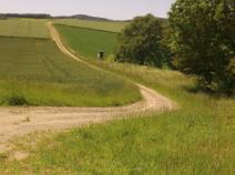
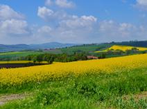
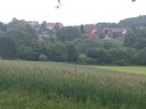
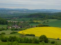
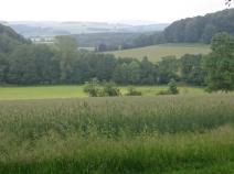
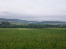
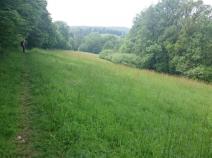
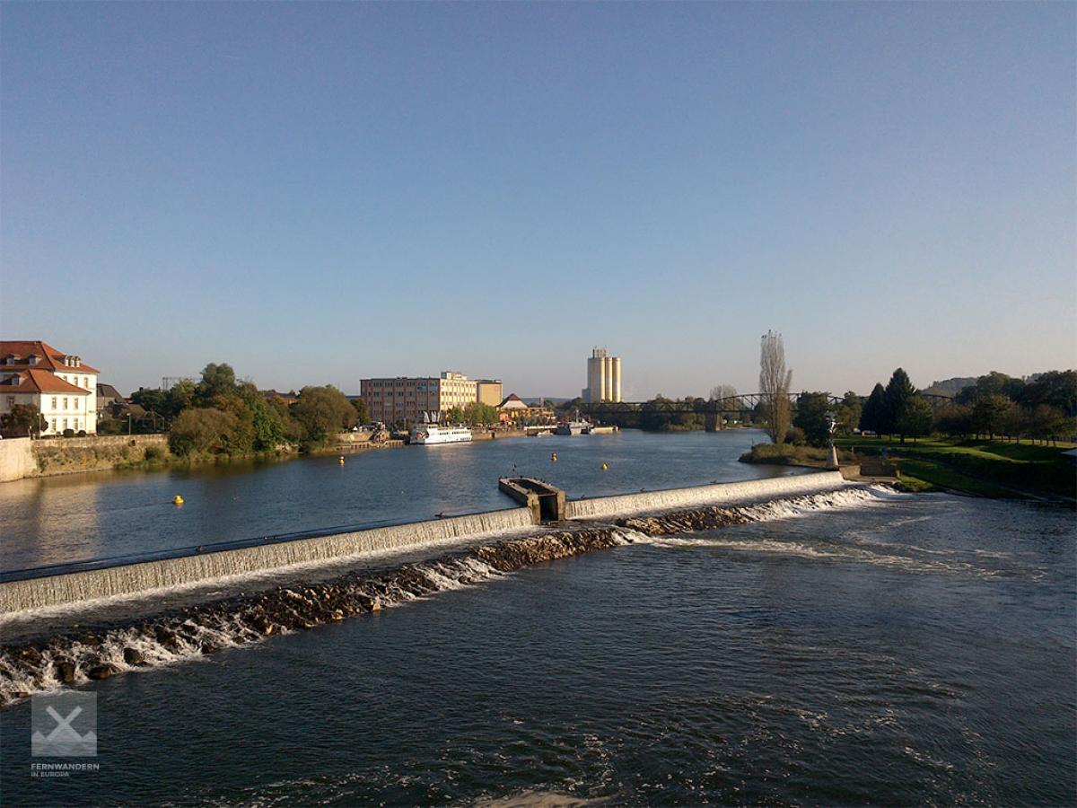
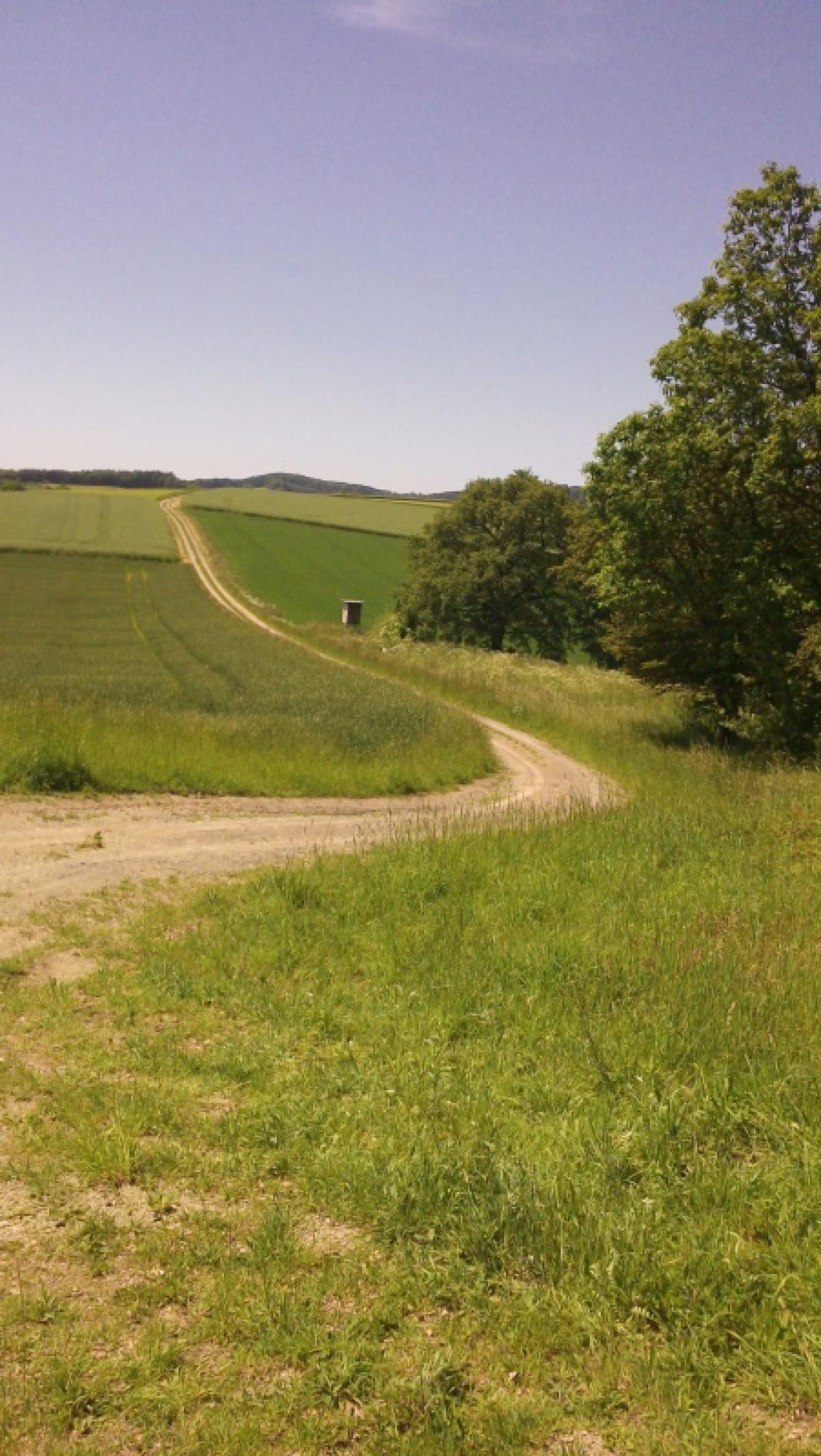
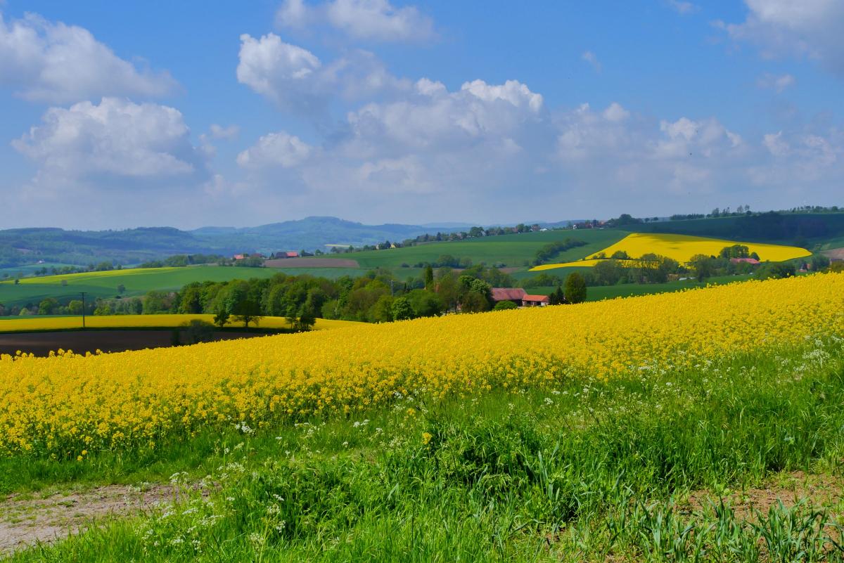
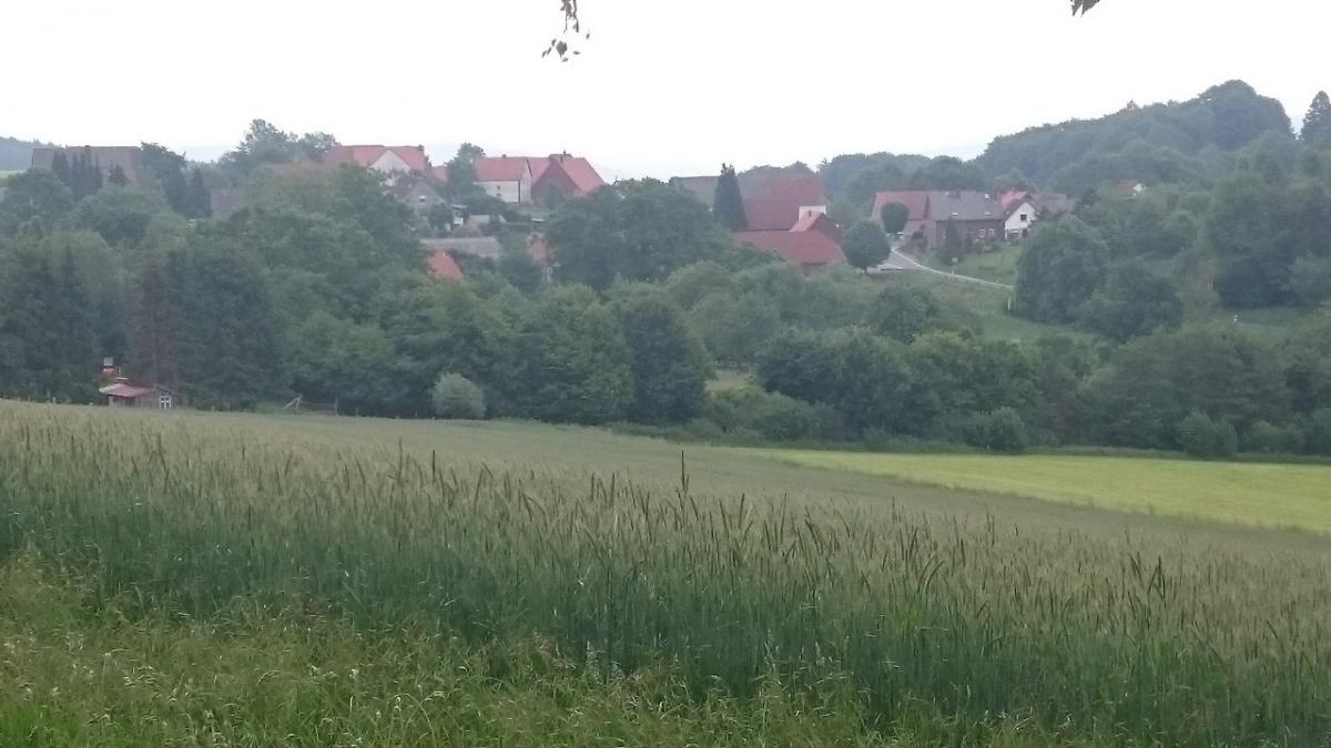
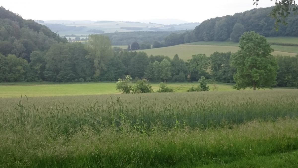
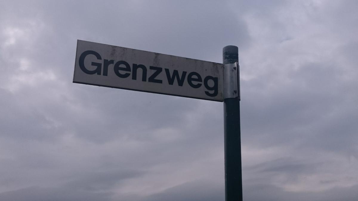
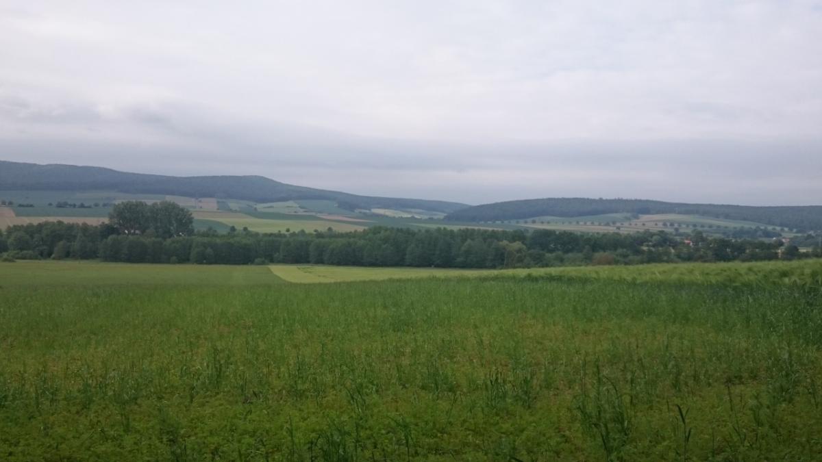
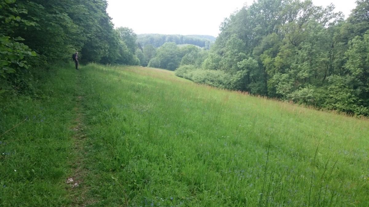
In Hameln, the E1 crosses the Weser and climbs steeply, ascending almost 200m to the top of Klüt. From there we follow the markings of the Hansaweg - the Hansa Way (X9) and after about 20 kilometres we cross the border from the state of Lower Saxony to North Rhine-Westphalia. The path takes us over Hohe Asch (371m), where an observation tower offers panoramic views of the surrounding countryside. Shortly before Linderhofe, we reach Dörenberg, which at 393m is even higher, but sadly the forested summit offers no view at all.
Hiking maps
No maps added yet
Marking
-
 St. Andrew's cross / E1
-
 Hansaweg (X9)
Accommodation
| Accommodation | Price group | |||
|---|---|---|---|---|
| 5-15 € | 16-30 € | 31-45 € | >45 € | |
|
DJH Jugendherberge Hameln
Hameln
Price group: 15-30 €
|
|
|||
|
Campingplatz zum Fährhaus
Hameln
Price group: 5-15 €
|
|
|||
|
Tönebön-Camp
Hameln
Price group: 5-15 €
|
|
|||
|
Hotel Restaurant Waldquelle
Aerzen
Price group: >45 €
|
|
|||
|
Campingpark Extertal
Extertal
Price group: 5-15 €
|
|
|||
|
Hotel Zur Burg Sternberg
Extertal-Linderhofe
Price group: >45 €
|
|
|||
|
Ferienwohnung im Extertal
Extertal
Price group: 15-30 €
|
|
|||
Sights
-
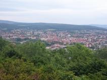
Klütturm
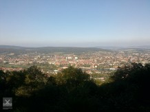
The Klütturm is a 23m high tower on the mountain Klüt (258m above sea level), which is reached from Hameln after a rather steep ascent. However, the view of the town compensates for all efforts.
For those who want to take a breather, the restaurant/hotel Klütturm with its panoramic terrace directly at the tower is available. Only a few hundred metres further on, the romantic beer garden of the Forsthaus Finkenborn invites you to linger.
-

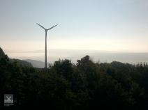
Hohe Asch
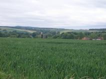
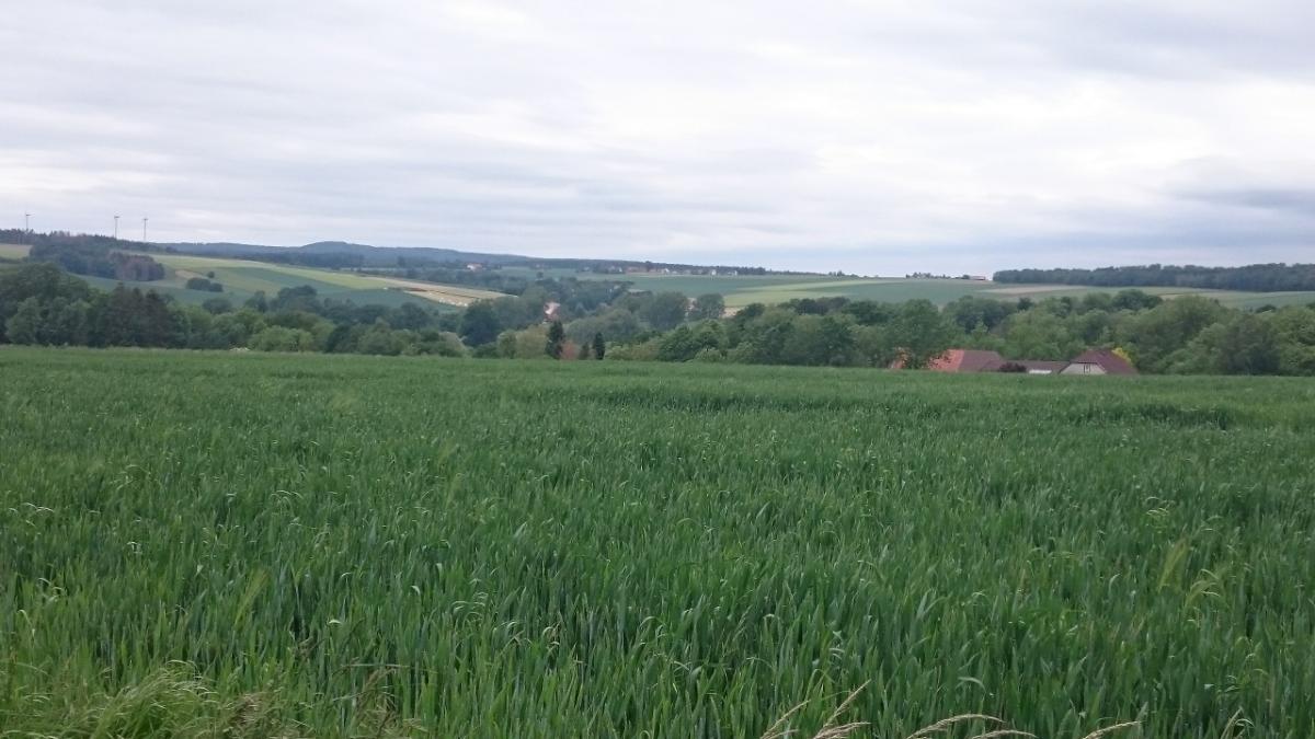
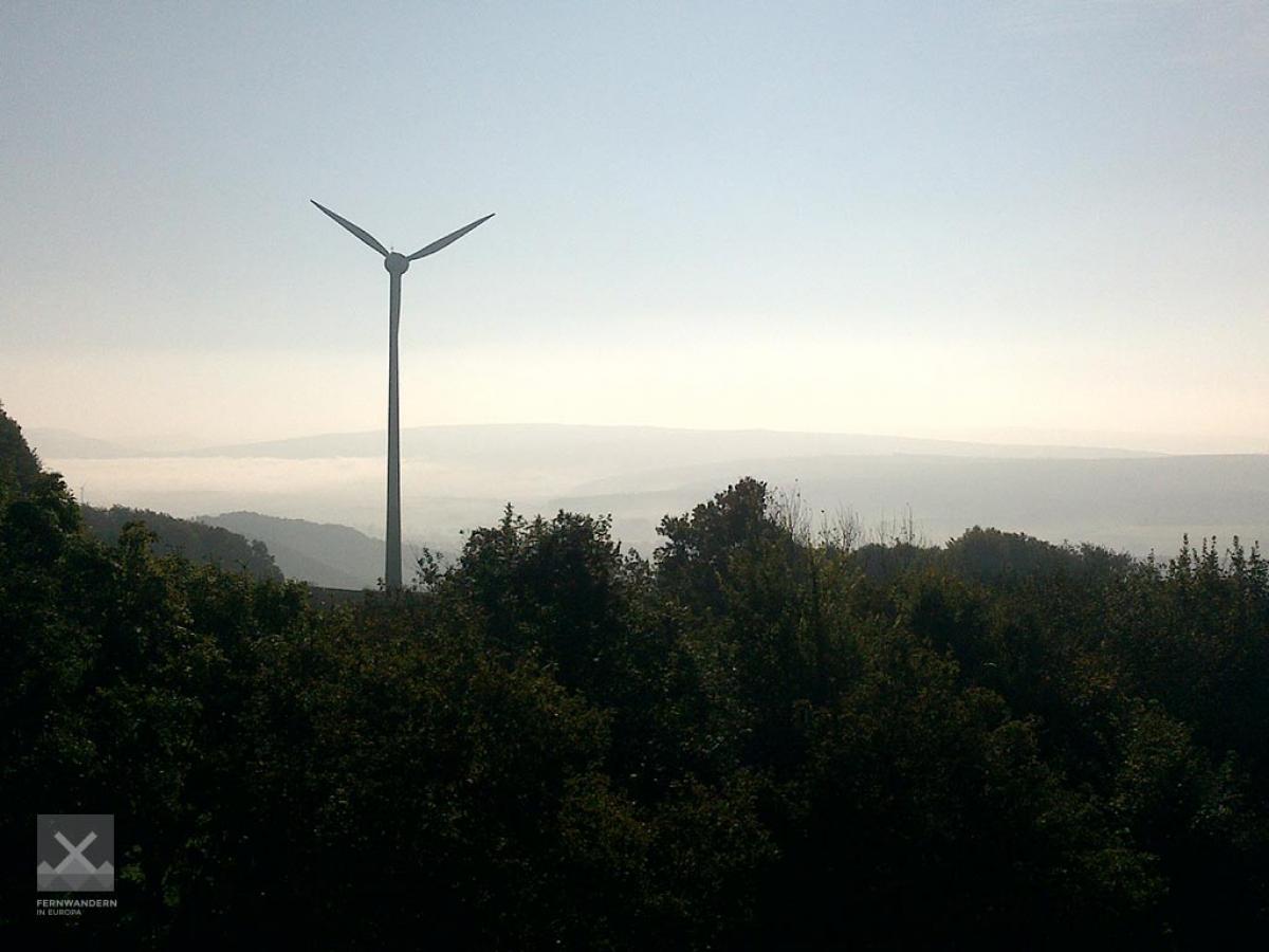
Only about 2km after crossing the border to North Rhine-Westphalia, the E1 reaches the mountain "Hohe Asch" (371.5m) with an observation tower. From there you have a view of landscapes that will be reached in the further course of the E1, such as the Teutoburg Forest with the Hermann Monument and the Egge Mountains.


Sources and copyright
GPX track coordinates: © OpenStreetMap contributors. Published under Open Database License (ODbL)GPX-Downloads
You can use the GPX track for navigation and tour planning on your digital device (GPS, smartphone, online tour planner).
| Etappe Stage 5.1 Hameln - Linderhofe | Download (.gpx) |
| All tracks in Germany | Download (.zip) |
The download and many of the services offered on this page are free of charge. However, I would greatly appreciate a small donation as a token of appreciation for my work! This can be done through Paypal or a supporting membership. Thank you very much!