4.01 Müden - Celle
45.1km
Distance
-
Walking time
272m
Total climb
289m
Total descent
Photos

Stage description
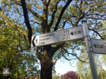
At 42km, this is one of the longest stages on the tour. Because of its marathon length, you might want to think about splitting it up. At roughly 22km, the E1 passes the Zur Alten Fuhrmansschänke hotel and restaurant, marked on maps as Dehninghof. Besides the standard rooms, you can also choose the more economical alternative of the hay hotel – the barn (you will need a sleeping bag!).
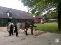
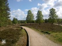
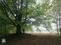
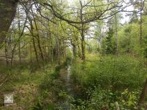
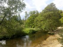
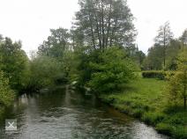
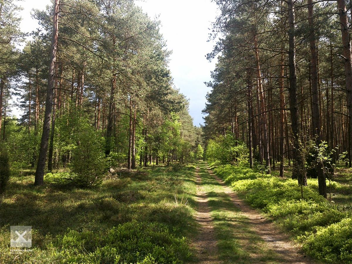
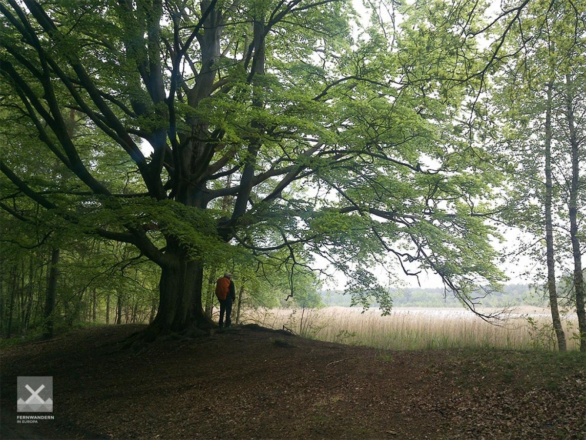
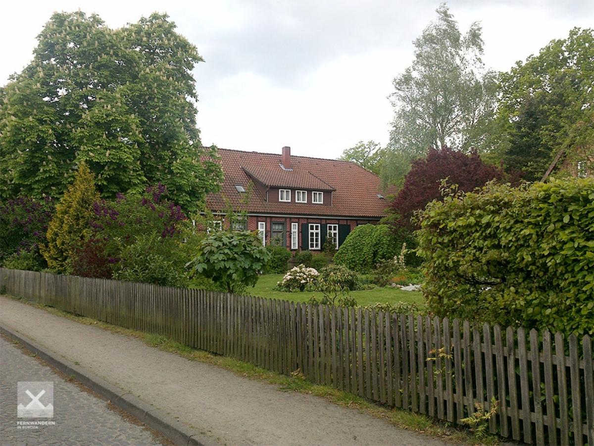
In Müden, the E1 heads right just after the bridge over the River Örtze. Just behind the youth hostel , a little over a kilometre after the bridge, the path comes across a small beach on the bank of the small river. The trail more or less follows the River Örtze – at first on a narrow forest trail, later on a long, straight sandy road – until it reaches the town of Hermannsburg.
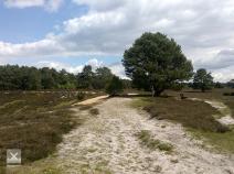
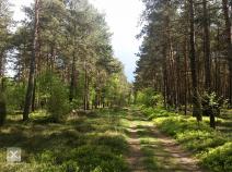
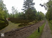
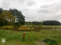
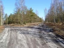
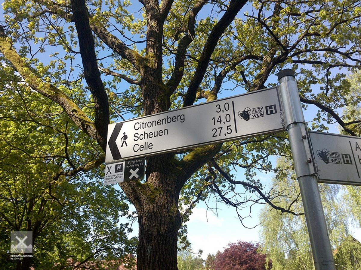
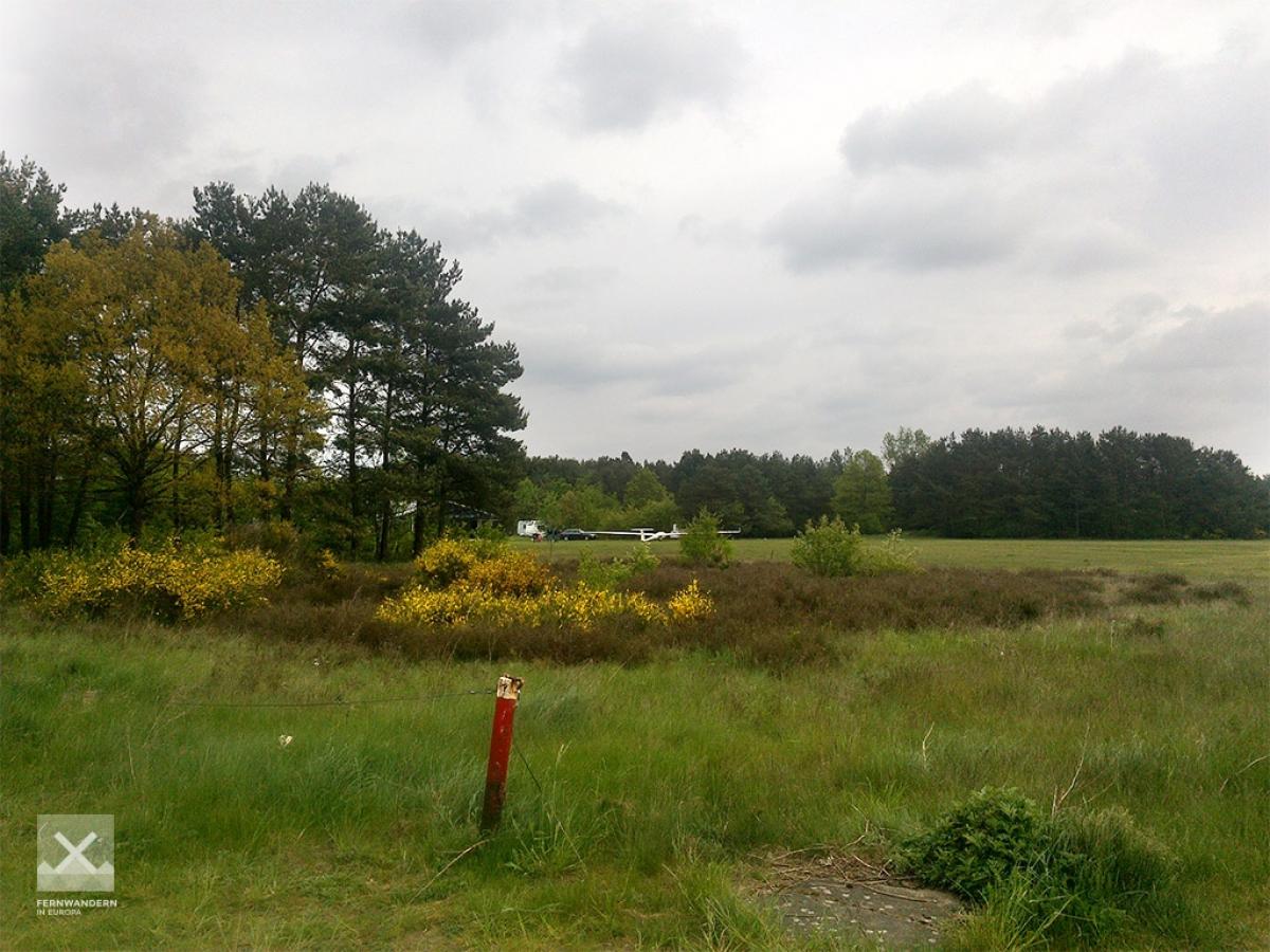
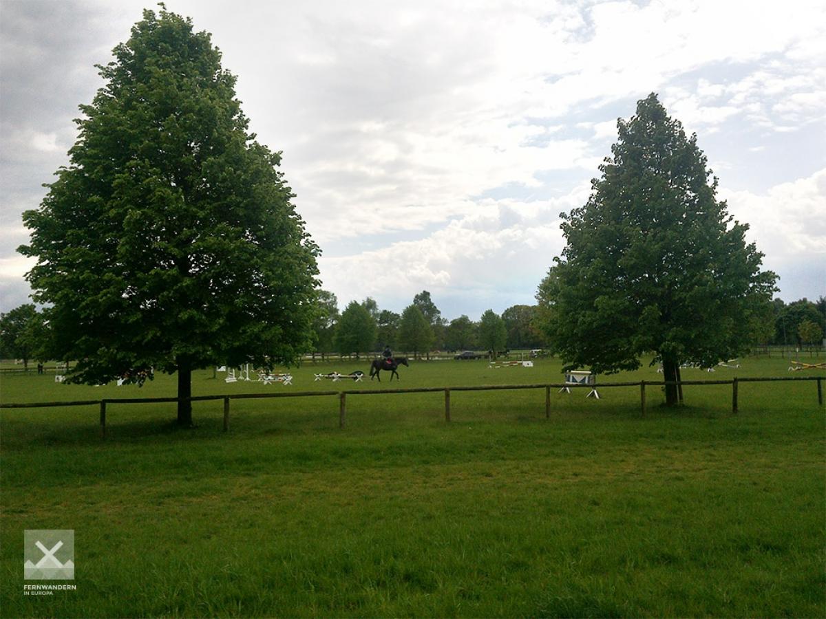
After leaving the town, the path takes a sweeping arch through the Misselhorner Heide (Misselhorn Heath) before joining the Alte Celler Heerstraße (an old military road to Celle) close to Dehningshof (Alte Fuhrmannsschänke). You can still sense the historical significance of the road today as it follows wide sandy trail to the Forsthaus Kohlenbach. The rest of the path until Scheuen in Celle is somewhat monotonous, taking us along long straight stretches through the sandy coniferous forest.
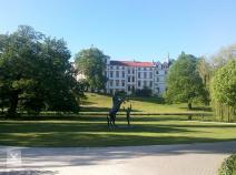
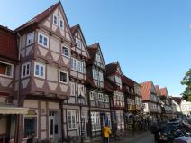
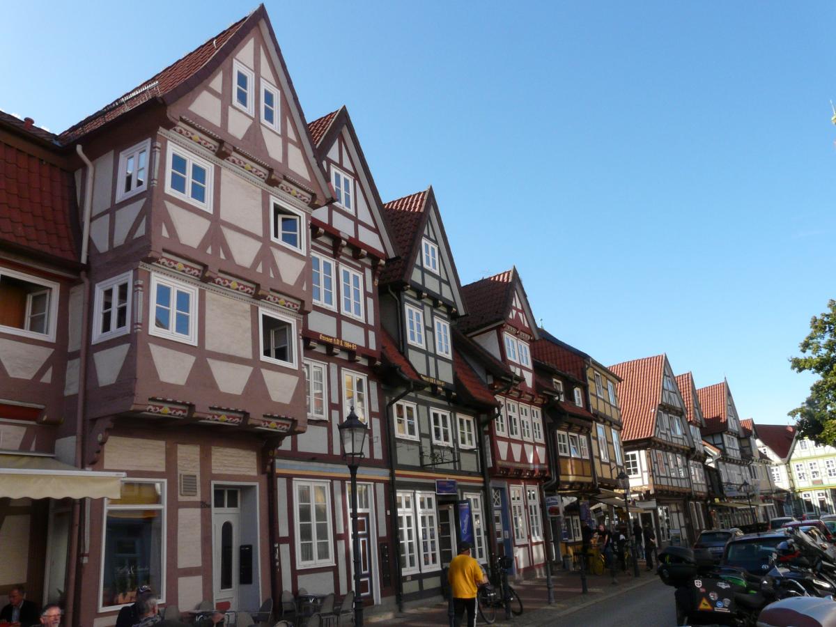
The stage closes in the beautiful town centre of Celle with its numerous half-timbered buildings and, of course, the castle, the Celler Schloss.
Hiking maps
No maps added yet
Marking
-
 St. Andrew's cross / E1
Accommodation
| Accommodation | Price group | |||
|---|---|---|---|---|
| 5-15 € | 16-30 € | 31-45 € | >45 € | |
|
DJH Jugendherberge Müden/Örtze
Faßberg
Price group: 15-30 €
|
|
|||
|
Camping Sonnenberg
Müden/Örtze
Price group: 5-15 €
|
|
|||
|
Zur Alten Fuhrmanns-Schänke
Oldendorf
Price group: 15-30,30-45,>45 €
|
|
|
|
|
|
Campingpark Silbersee
Celle-Vorwerk
Price group: 5-15 €
|
|
|||
|
Show more accommodation in Hermannsburg
and Celle
(booking.com / Ad)
|
||||
Literature

Sources and copyright
GPX track coordinates: © OpenStreetMap contributors. Published under Open Database License (ODbL)GPX-Downloads
You can use the GPX track for navigation and tour planning on your digital device (GPS, smartphone, online tour planner).
| Etappe Stage 4.01 Müden - Celle | Download (.gpx) |
| All tracks in Germany | Download (.zip) |
The download and many of the services offered on this page are free of charge. However, I would greatly appreciate a small donation as a token of appreciation for my work! This can be done through Paypal or a supporting membership. Thank you very much!