4.5 Bad Nenndorf - Bad Münder
30.2km
Distance
-
Walking time
913m
Total climb
878m
Total descent
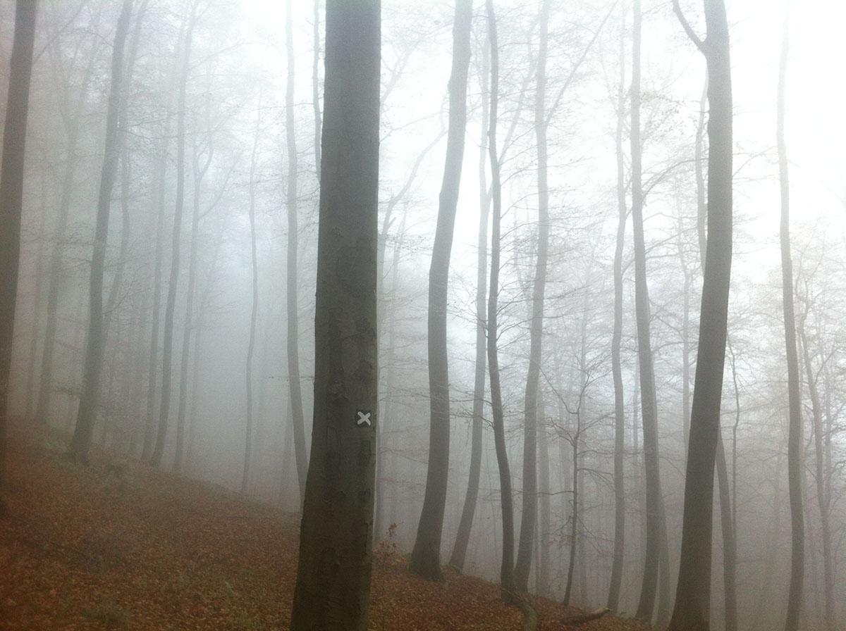
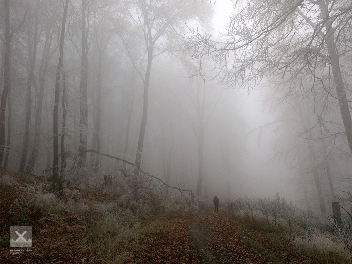
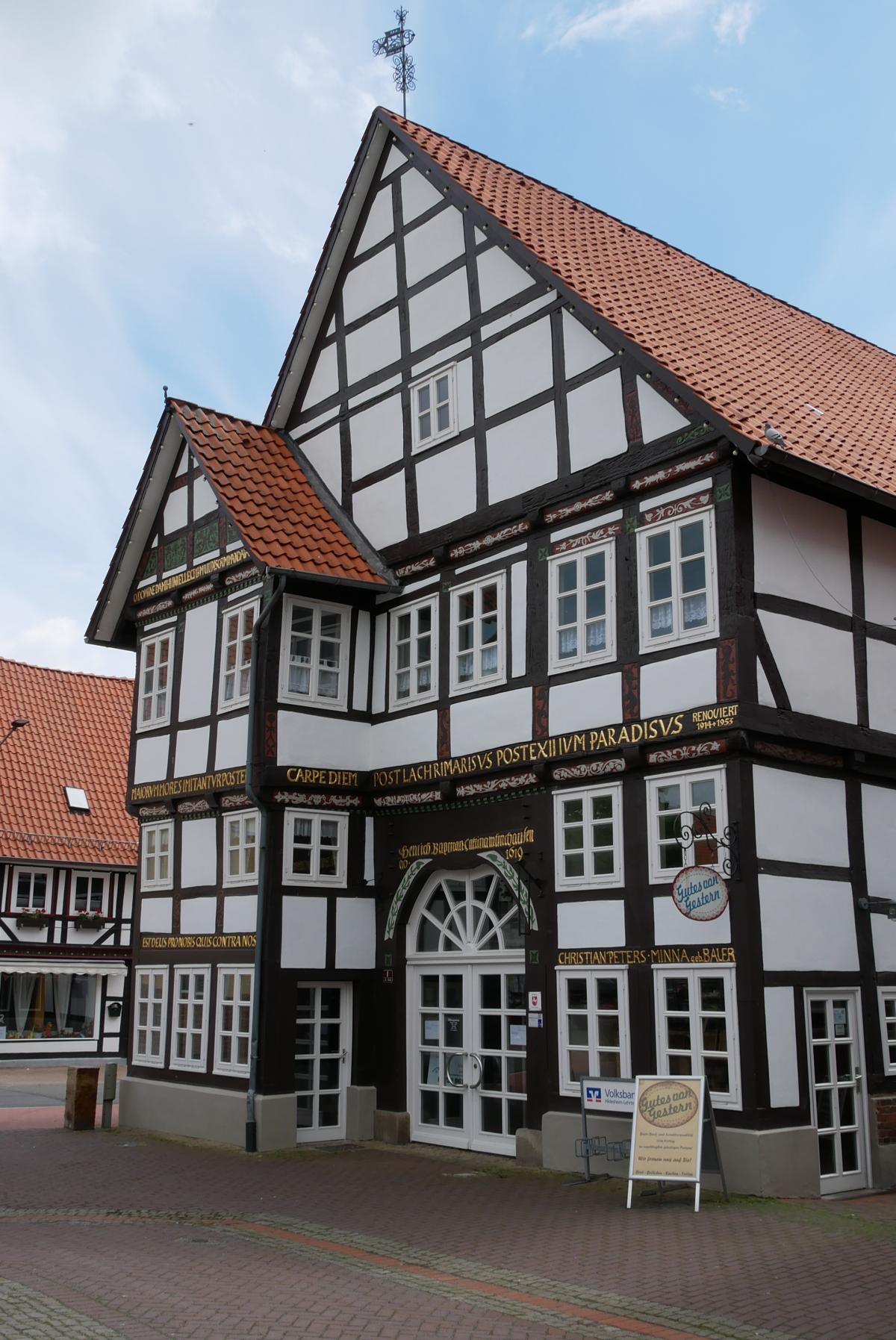
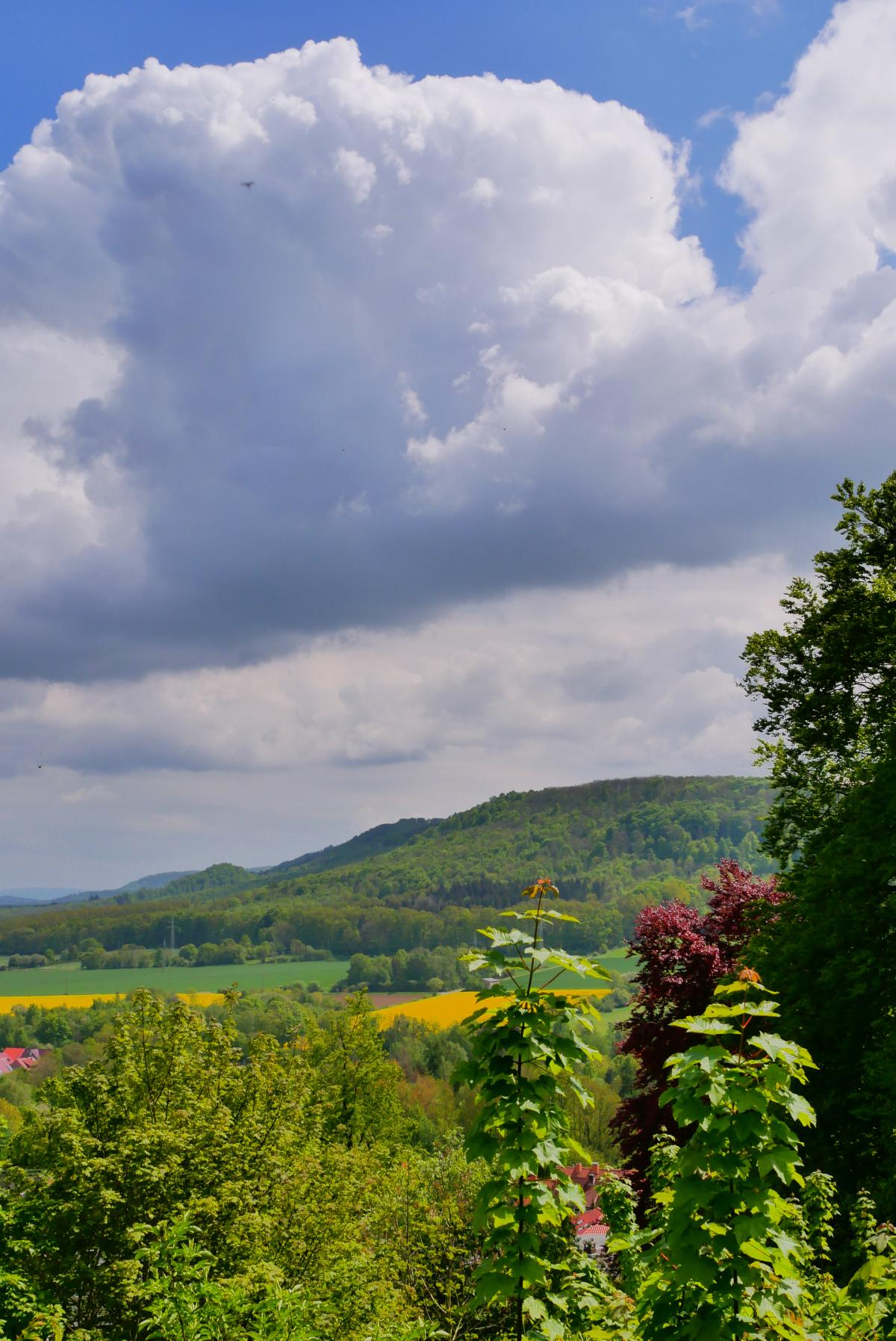
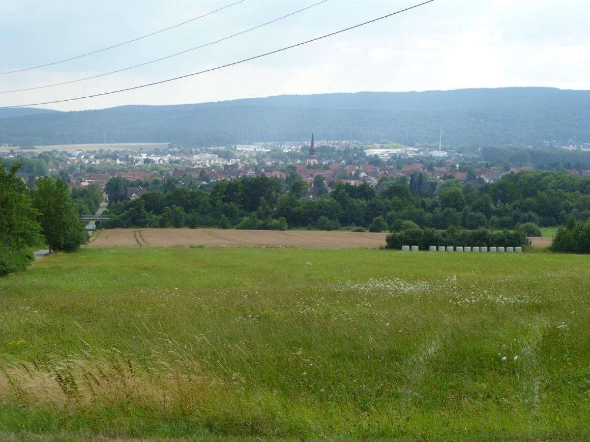
Photos
Stage description
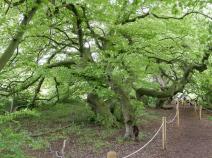
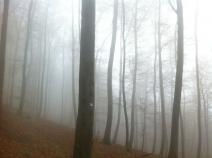
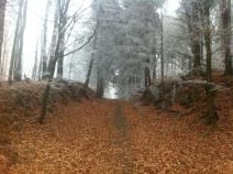
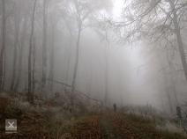
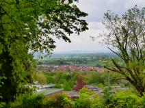
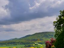
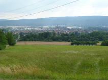
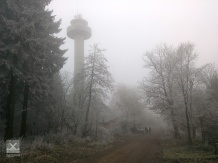
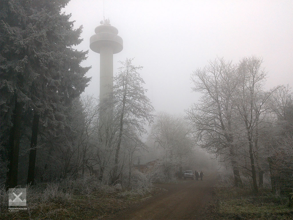
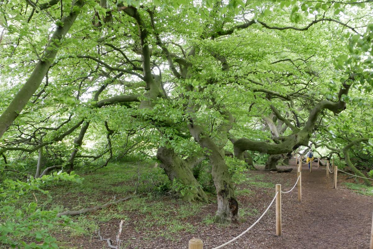
After Bad Nenndorf, the trail first descends again to Erlengrund before the steep ascent to the Deister begins with the undercrossing of the A2 autobahn up to Cecilienhöhe, which marks the gateway to the Deister. Passing the Belvedereturm (Belvedere Tower), the first of several (observation) towers and the Mooshütte (for refreshments), after a few kilometres we reach the Teufelsbrücke (the devil’s bridge). Here, too, there is spot to make a refreshments stop. During the following ascent up to the Nordmannsturm (some more refreshments) on the Reinekensiekskopf (382m) the path leads through the remains of the Heisterburg, a fortress from the 10th to 11th century. Between the Großen Hals (361m) with its telecommunications tower and the Reinekensiekskopf it is worth taking a short detour to the Alten Taufe (the path is signposted). A rather steep path now leads down to the Nienstedter Pass, where we cross a country road and a parking lot, before starting the slow ascent again on an asphalted road. At this point, the E1 passes several antennas and a huge radar system belonging to the German air traffic control organisation. At the Annaturm, just below the Bröhn (405m), there is another chance to take on some refreshments. Just behind the forester’s lodge in Köllnischfeld we reach a plantation of the rare dwarf beech (aka twisted beech) trees. From Ebersberg, west of the village of Springe, the descent begins along the southern edge of the Deister through the Deisterpforte gate in the direction of Bad Münder and the end of the stage.
Hiking maps
No maps added yet
Marking
-
 St. Andrew's cross / E1
Accommodation
| Accommodation | Price group | |||
|---|---|---|---|---|
| 5-15 € | 16-30 € | 31-45 € | >45 € | |
|
Pension Haus Charlotte
Bad Nenndorf
Price group: €
|
||||
|
Naturfreundehaus Barsinghausen
Barsinghausen
Price group: 15-30 €
|
|
|||
|
Berggasthaus Ziegenbuche
Bad Münder
Price group: >45 €
|
|
|||
|
Privatzimmer Lederhofer
Bad Münder
Price group: 15-30 €
|
|
|||
|
Zimmervermietung Anke Klein
Bad Münder am Deister
Price group: 15-30 €
|
|
|||
|
Show more accommodation in Bad Nenndorf
and Bad Münder
(booking.com / Ad)
|
||||
Sights
-
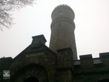
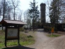
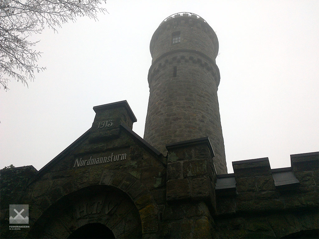
Nordmannsturm
The Nordmannsturm is a 19 meter high observation tower on the Deister. It was built in 1863 by the Hanoverian master builder Constantin Nordmann from Deister sandstone. In 1881 the tower was destroyed during a storm, but was rebuilt the following year. In the associated building, which was opened in 1913, there is a restaurant.
-
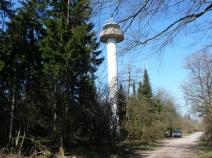
Annaturm
At the highest point of the Deister, the Bröhn (405m above sea) is the Annaturm. This 27.5-metre-high viewing and radio tower with attached catering facilities is located directly on the Deister ridge path.
Links
Accomodations in Bad Nenndorf
http://www.badnenndorf.de/uebernachten-and-arrangements/unterkunft-suchen-and-buchen/
Literature

Sources and copyright
GPX track coordinates: © OpenStreetMap contributors. Published under Open Database License (ODbL)GPX-Downloads
You can use the GPX track for navigation and tour planning on your digital device (GPS, smartphone, online tour planner).
| Etappe Stage 4.5 Bad Nenndorf - Bad Münder | Download (.gpx) |
| All tracks in Germany | Download (.zip) |
The download and many of the services offered on this page are free of charge. However, I would greatly appreciate a small donation as a token of appreciation for my work! This can be done through Paypal or a supporting membership. Thank you very much!