4.6 Bad Münder - Hameln
19.4km
Distance
-
Walking time
631m
Total climb
681m
Total descent
Photos

Stage description
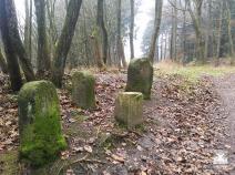
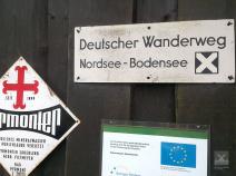
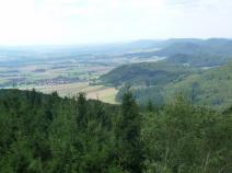
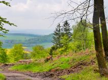
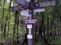
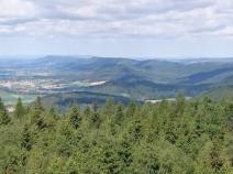
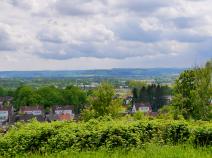
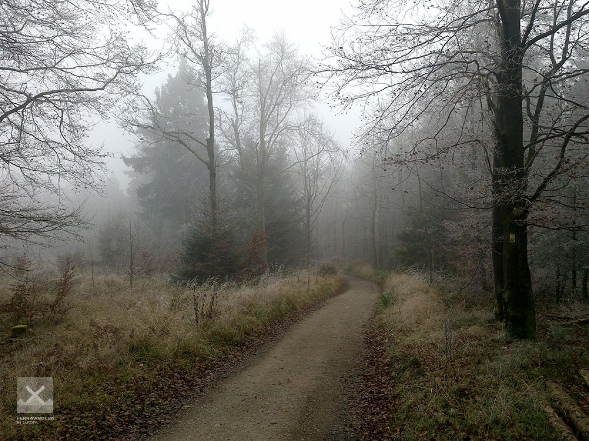
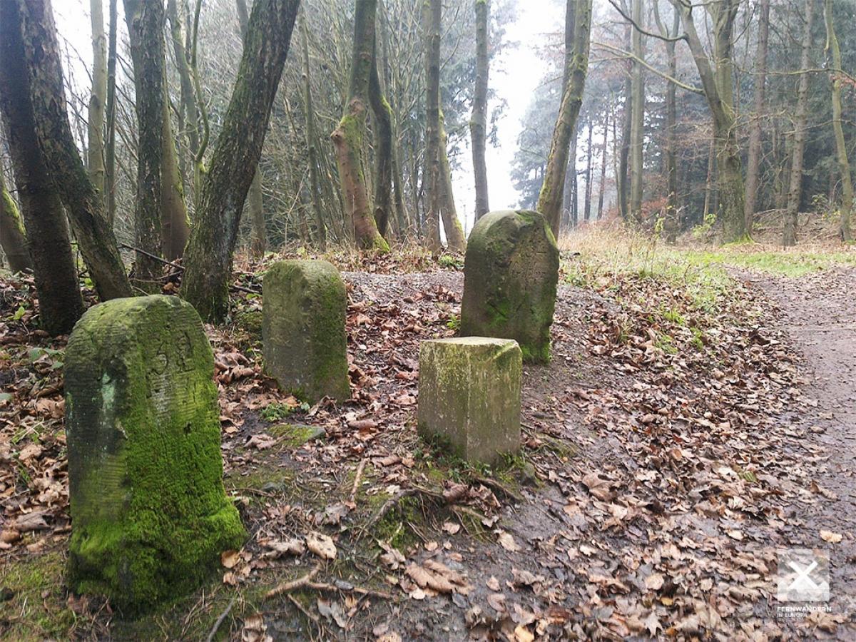
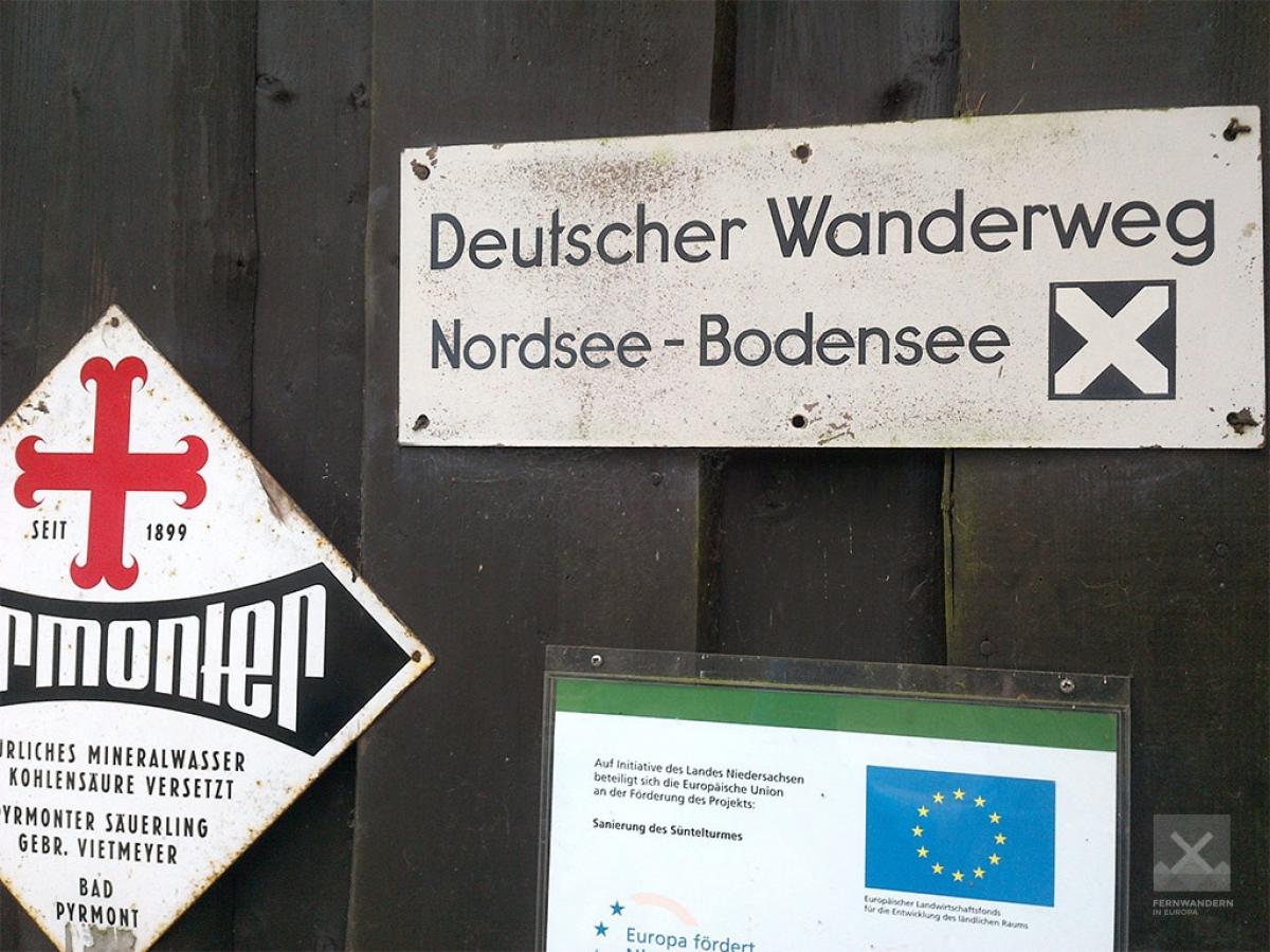
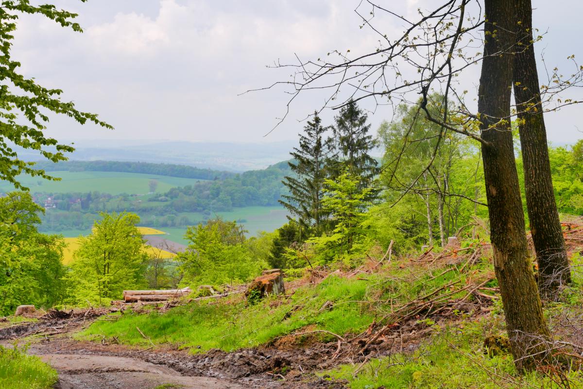
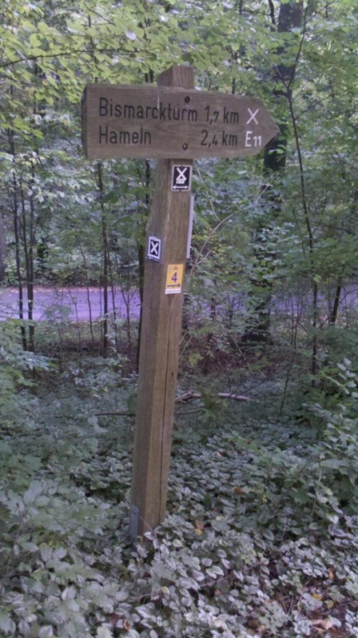
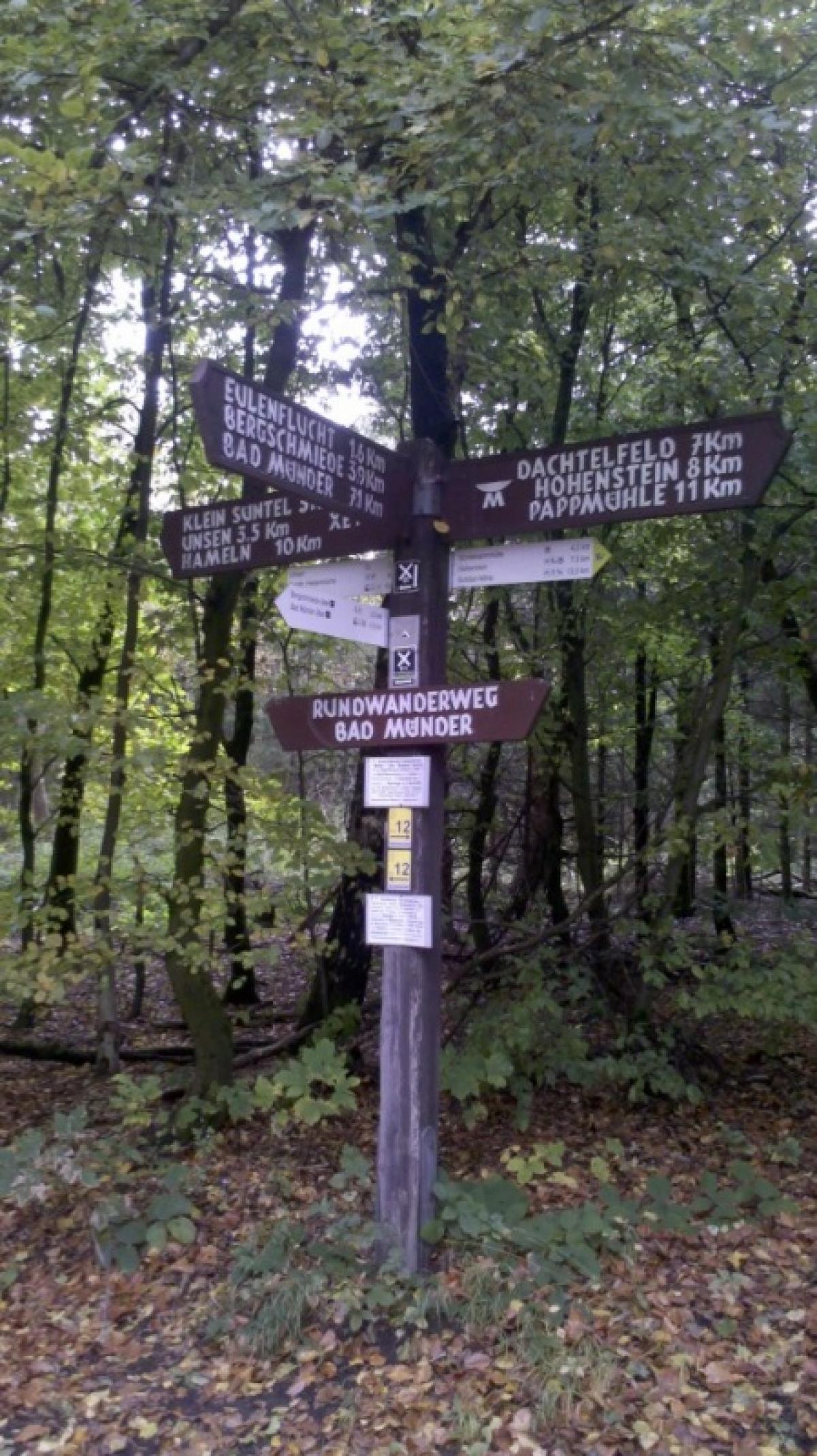
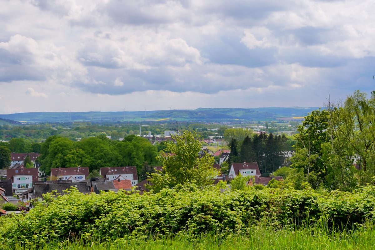
Shortly after Bad Münder, the ascent begins to the Hohe Egge (440m), the highest peak of the Süntel, a low mountain range between Deister and Weser. On the way up we pass the Bergschmiede guest house and join the European long-distance hiking trail E11 at Sünteltum on the summit. For a small fee, you can climb to the top of the Sünteltum. A restaurant offers simple food and drinks. E1 and E11 now follow the same path for a couple kilometres. Old boundary stones line the path and at the Dreiländereck (the border triangle) a sign provides some information about the historical border lines. On the partly very steep way down to the village of Unsen, deep hollows in the forest testify to an old quarry where Süntel sandstone was mined. After crossing the Schweinberg (280m), the two European long-distance hiking trails then separate at Heisenküche guest house. While the E11 continues its way directly towards Hameln's old town, the E1 first reaches the Hameln railway station after a few kilometres and then continues into the historic old town of the Pied Piper town and the Weser.
Hiking maps
No maps added yet
Marking
-
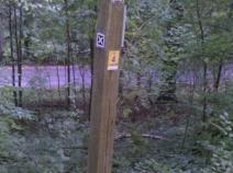
 St. Andrew's cross / E1
Accommodation
| Accommodation | Price group | |||
|---|---|---|---|---|
| 5-15 € | 16-30 € | 31-45 € | >45 € | |
|
Berggasthaus Ziegenbuche
Bad Münder
Price group: >45 €
|
|
|||
|
Privatzimmer Lederhofer
Bad Münder
Price group: 15-30 €
|
|
|||
|
Zimmervermietung Anke Klein
Bad Münder am Deister
Price group: 15-30 €
|
|
|||
|
Hotel und Restaurant Waldhof
Hameln-Unsen
Price group: 15-30 €
|
|
|||
|
DJH Jugendherberge Hameln
Hameln
Price group: 15-30 €
|
|
|||
|
Campingplatz zum Fährhaus
Hameln
Price group: 5-15 €
|
|
|||
|
Tönebön-Camp
Hameln
Price group: 5-15 €
|
|
|||
|
Show more accommodation in Bad Münder
and Hameln
(booking.com / Ad)
|
||||
Sights
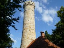
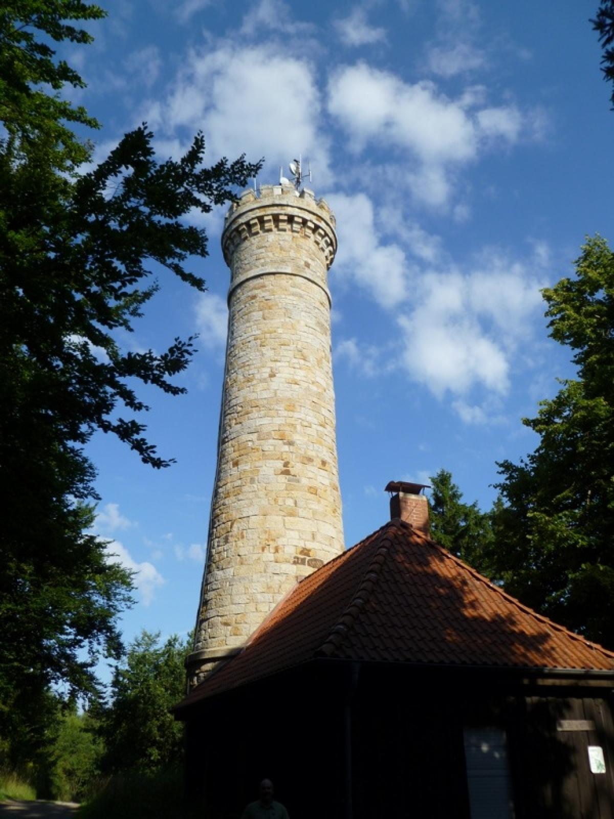
Süntelturm
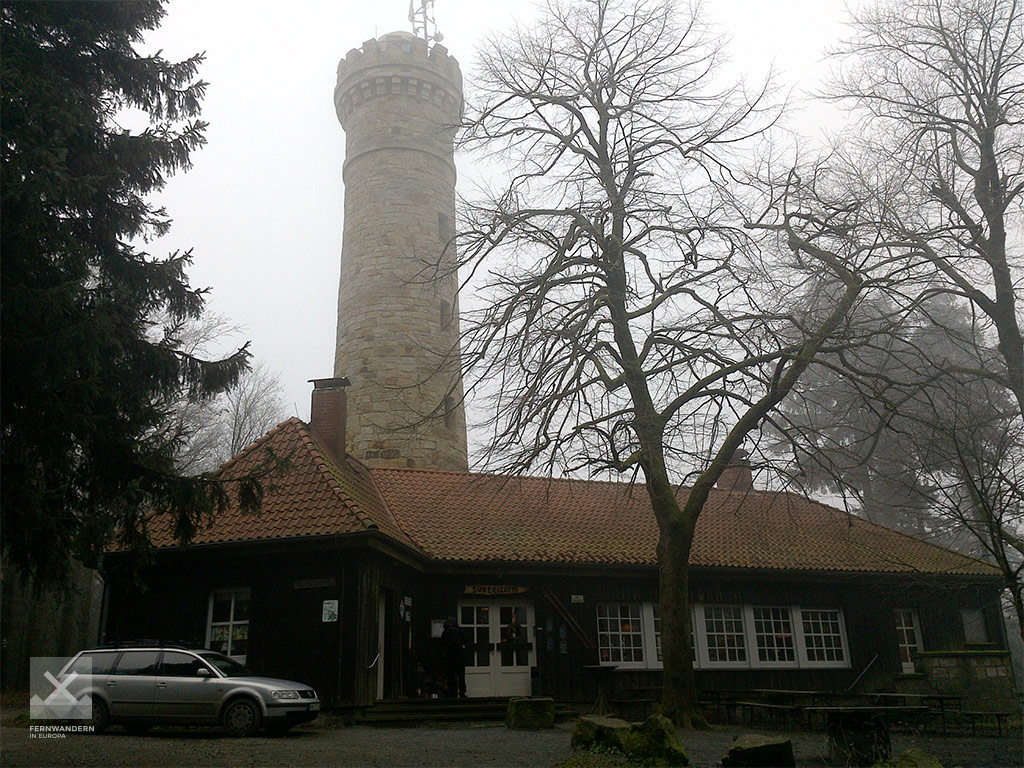
The Süntelturm is a 25-metre high sandstone observation tower, which was inaugurated in 1901. It is located on the highest point of the Süntel, the Hohe Egge (440m above sea level). The ascent of the tower is with costs. At the tower there is a restaurant offering simple food and drinks.
Between Süntelturm and Heisenküche the European long-distance paths E1 and E11 have a common route.
Literature

Sources and copyright
GPX track coordinates: © OpenStreetMap contributors. Published under Open Database License (ODbL)GPX-Downloads
You can use the GPX track for navigation and tour planning on your digital device (GPS, smartphone, online tour planner).
| Etappe Stage 4.6 Bad Münder - Hameln | Download (.gpx) |
| All tracks in Germany | Download (.zip) |
The download and many of the services offered on this page are free of charge. However, I would greatly appreciate a small donation as a token of appreciation for my work! This can be done through Paypal or a supporting membership. Thank you very much!