Stage
4.4 Steinhude - Bad Nenndorf
26.3km
Distance
-
Walking time
242m
Total climb
189m
Total descent
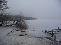
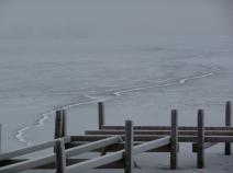
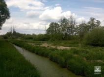
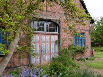
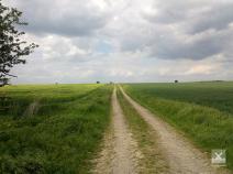
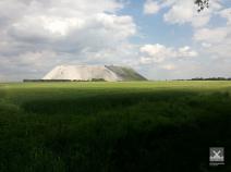
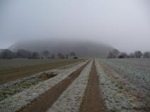
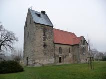
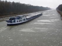
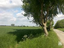
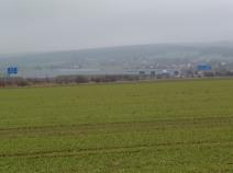
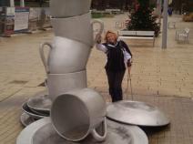
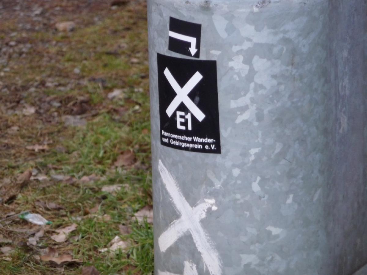
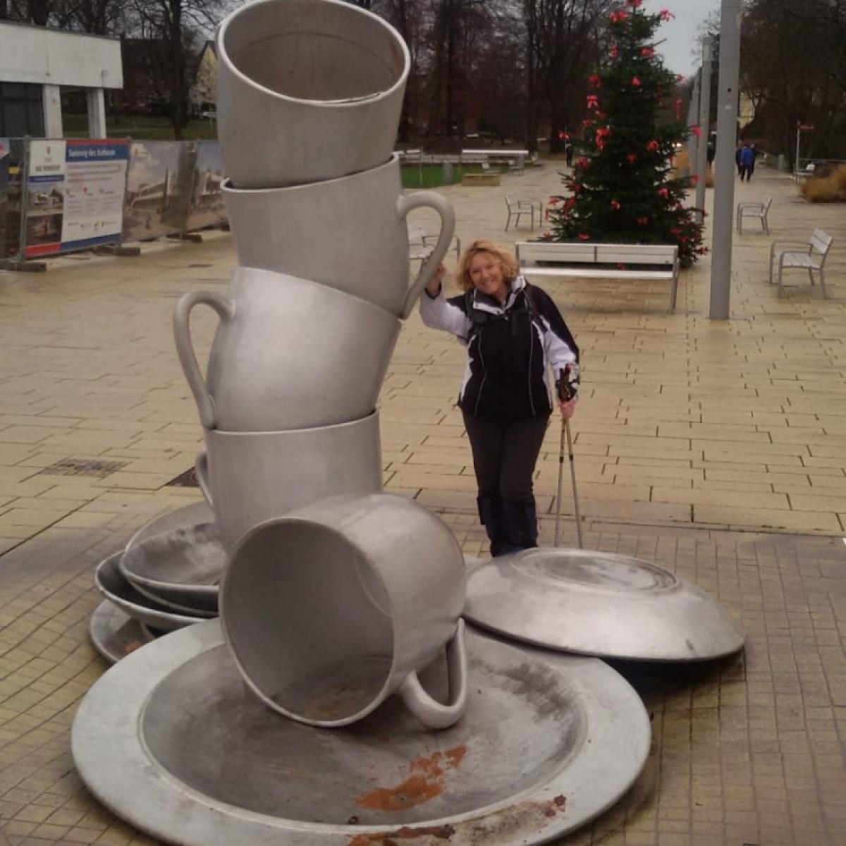
Photos


Stage description
Last text update:
26.02.2018
Hiking maps
No maps added yet
Accommodation
| Accommodation | Price group | |||
|---|---|---|---|---|
| 5-15 € | 16-30 € | 31-45 € | >45 € | |
|
Pension Haus Charlotte
Bad Nenndorf
Price group: €
|
||||
|
Show more accommodation in Steinhude
, Hagenburg
and Bad Nenndorf
(booking.com / Ad)
|
||||
Links
Tourist Info Steinhude
Accomodations in Bad Nenndorf
http://www.badnenndorf.de/uebernachten-and-arrangements/unterkunft-suchen-and-buchen/
Literature

Sources and copyright
GPX track coordinates: © OpenStreetMap contributors. Published under Open Database License (ODbL)GPX-Downloads
You can use the GPX track for navigation and tour planning on your digital device (GPS, smartphone, online tour planner).
| Etappe Stage 4.4 Steinhude - Bad Nenndorf | Download (.gpx) |
| All tracks in Germany | Download (.zip) |
The download and many of the services offered on this page are free of charge. However, I would greatly appreciate a small donation as a token of appreciation for my work! This can be done through Paypal or a supporting membership. Thank you very much!