6.8 Siegen - Herdorf
29km
Distance
-
Walking time
1146m
Total climb
1154m
Total descent
Photos
Stage description
N.B.: We don't have an English description of the stage just yet. We'll give you the German version for now until the English version is ready.
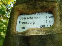
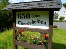
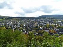
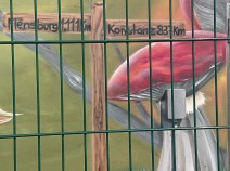
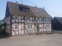
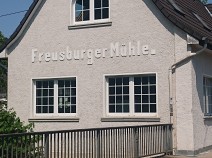
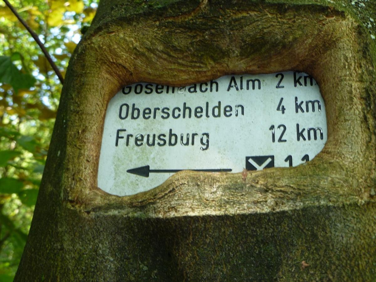
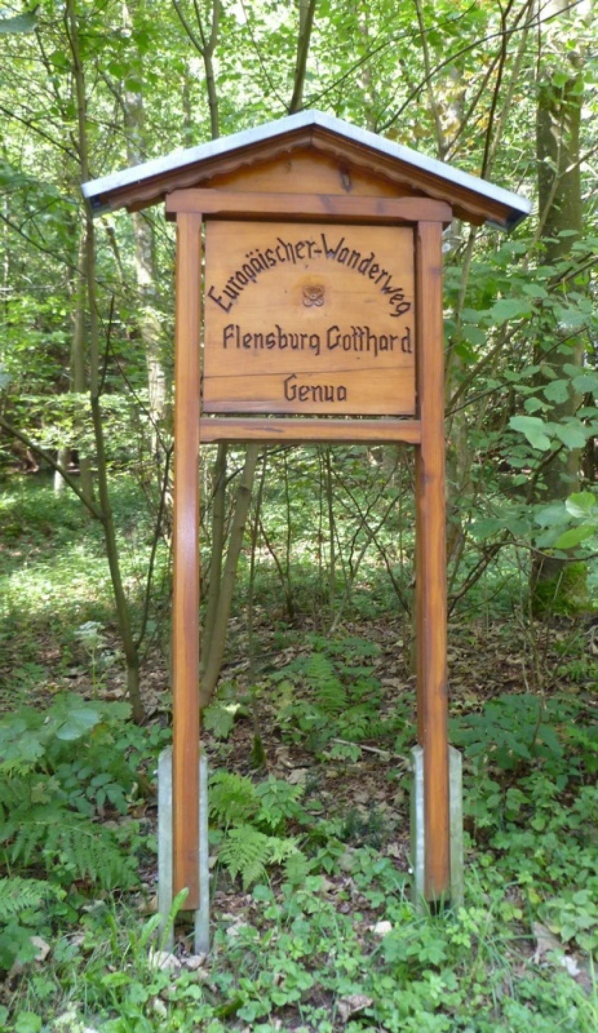
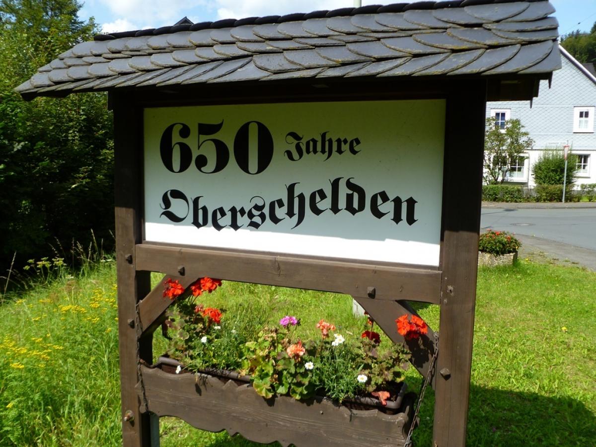
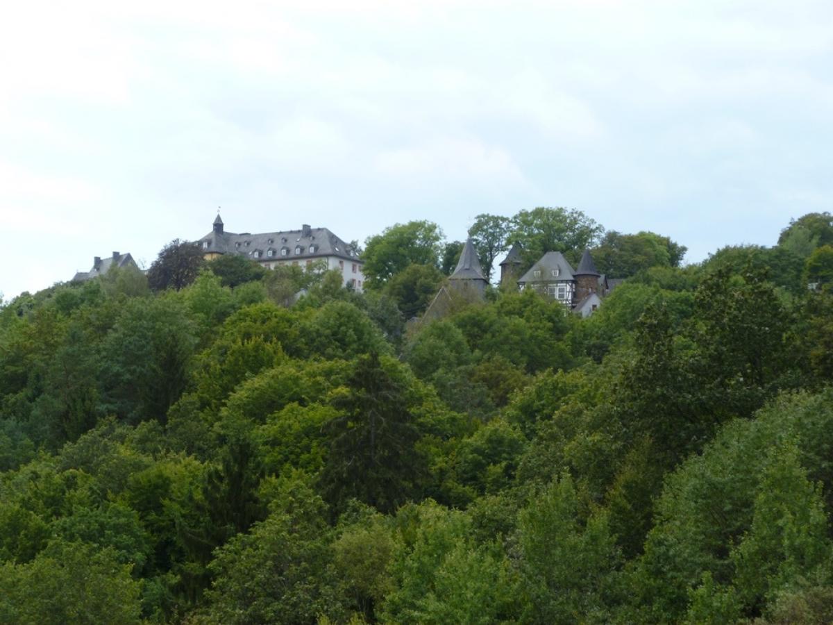
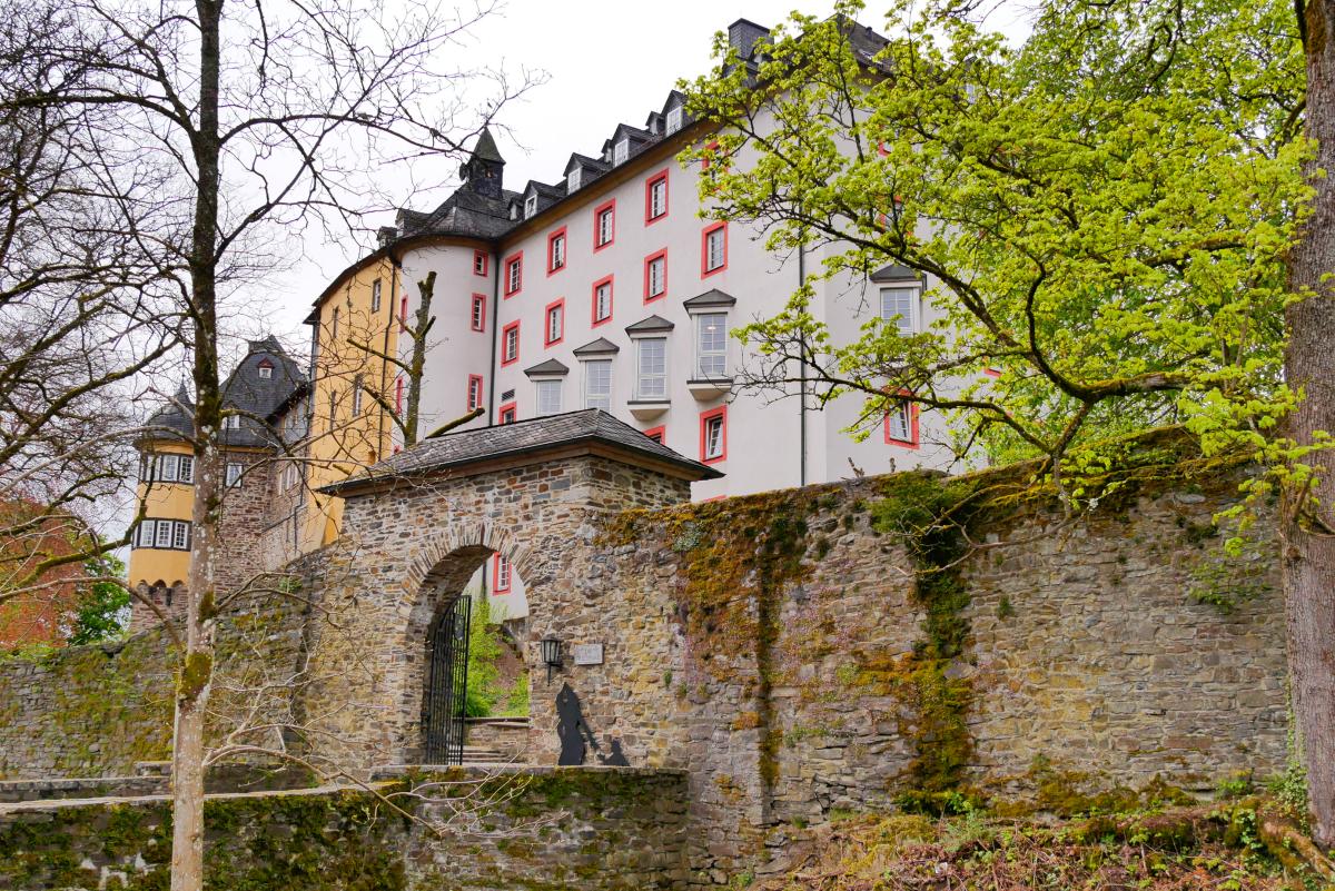
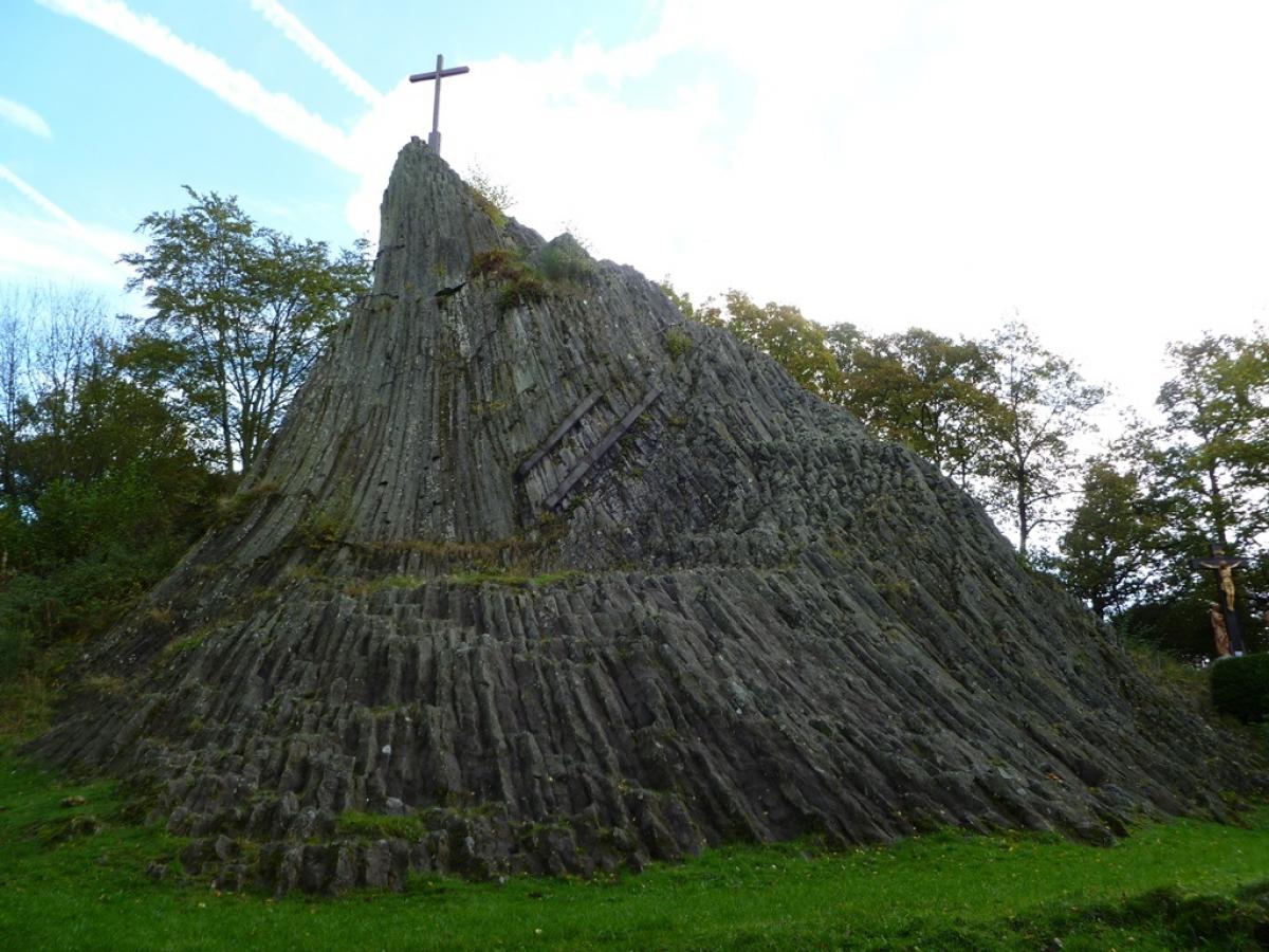
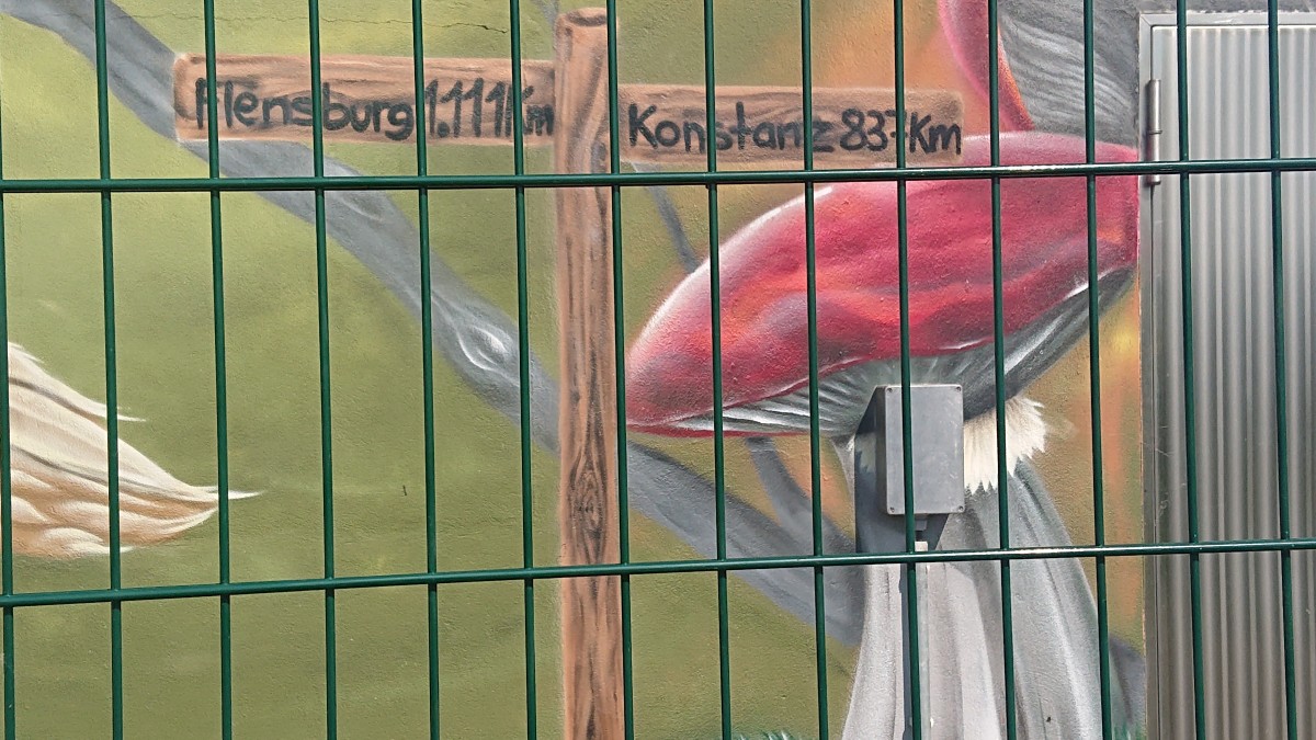
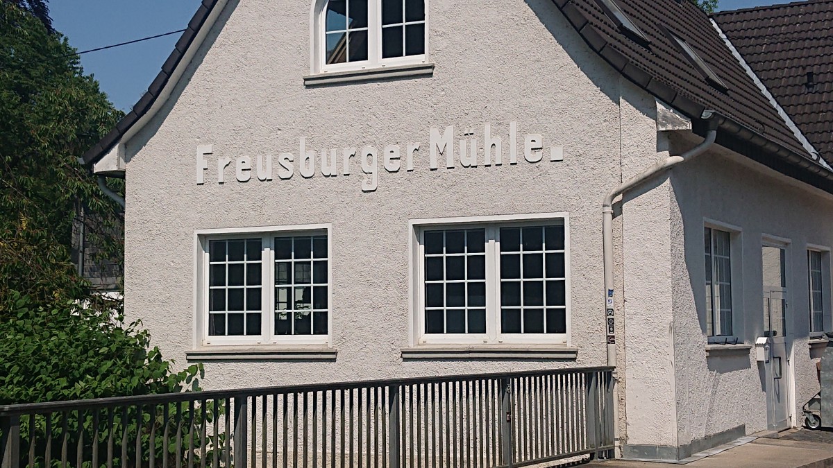
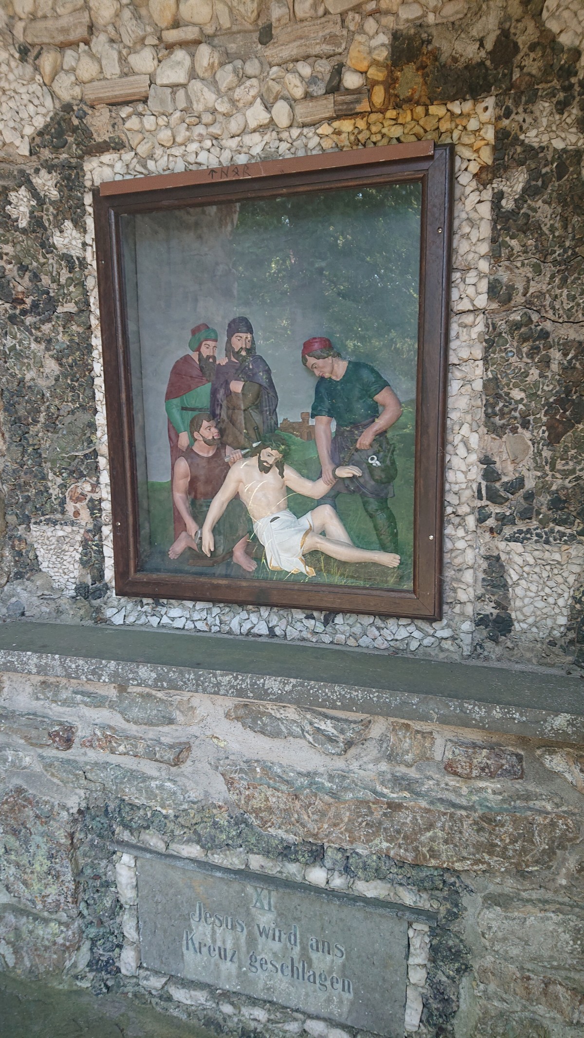
Die Etappe beginnt hinter Siegen mit einem längeren Aufstieg auf zumeist breiten Forstwegen bis auf den Starken Buberg. Eine Wandzeichung auf dem Gebäude eines Wasserwerks zeigt die Entfernungen bis Flensburg (1111 km) und Konstanz (873 km). Nach Unterquerung der A 45 (Sauerlandlinie) erreicht man Oberschelden. Ab dort geht es über schmalere Pfade hinauf zum Giebelberg, anschließend wieder abwärts bis Freusburg. Der Weg verläuft jedoch nicht über die hochgelegene gleichnamige Burg, sondern es geht abwärts zur Sieg, die an der Freusburger Mühle überquert wird. Ab hier beginnt die Markierung des Westerwaldvereins. Mit Blicken auf Kirchen (Sieg) geht es nach Herkersdorf. Am Ortsrand beginnt der von einem Kreuzweg begleitete Aufstieg auf den Druidenstein, einem eindrucksvollen Basaltkegel. Danach geht es meistens über Forstwege überwiegend abwärts bis nach Herdorf.
The following users contributed to this text:
Hiking maps
No maps added yet
Marking
-
 SGV Hauptwanderweg 11
-
 European long-distance path E1
-
 St. Andrew's cross / E1
St. Andrew's cross (X11) to Freusburg. From there mainly new marking, (yellow E1 on blue ground), partly old marking with St. Andrew's cross.
Accommodation
| Accommodation | Price group | |||
|---|---|---|---|---|
| 5-15 € | 16-30 € | 31-45 € | >45 € | |
|
Villa Trallala
Siegen
Price group: 15-30 €
|
|
|||
|
DJH Jugendherberge Freusburg
Freusburg / Kirchen
Price group: 15-30 €
|
|
|||
|
Hotel Jägerheim
Kirchen (Sieg)
Price group: €
|
||||
|
Show more accommodation in Siegen
(booking.com / Ad)
|
||||
Sights
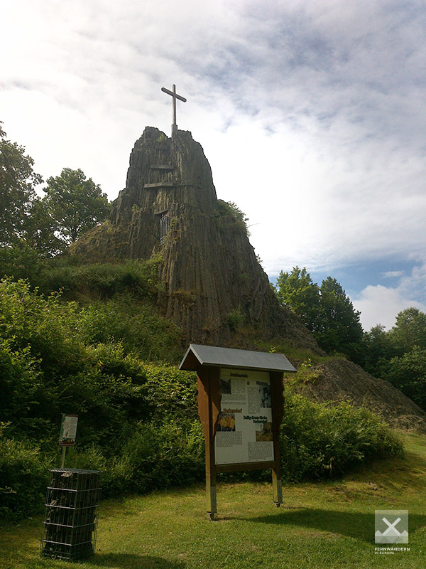
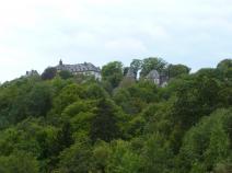
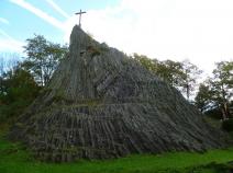
Druidenstein
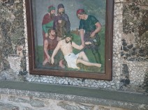
Behind the Heilig-Kreuz-Kirche in Herkersdorf the E1 climbs over a Way of the Cross up to the Druidenstein. This striking basalt rock, about 20 metres high, was formed about 25 million years ago and probably already served the Celts as a place of worship.
Sources and copyright
GPX track coordinates: © OpenStreetMap contributors. Published under Open Database License (ODbL)GPX-Downloads
You can use the GPX track for navigation and tour planning on your digital device (GPS, smartphone, online tour planner).
| Etappe Stage 6.8 Siegen - Herdorf | Download (.gpx) |
| All tracks in Germany | Download (.zip) |
The download and many of the services offered on this page are free of charge. However, I would greatly appreciate a small donation as a token of appreciation for my work! This can be done through Paypal or a supporting membership. Thank you very much!