6.02 Schweinsbühl - Niedersfeld
26km
Distance
-
Walking time
887m
Total climb
877m
Total descent
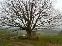
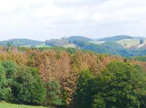
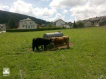
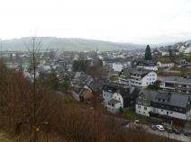
Photos

Stage description
N.B.: We don't have an English description of the stage just yet. We'll give you the German version for now until the English version is ready.
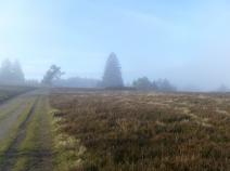
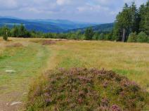
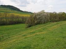
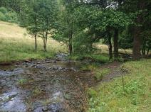
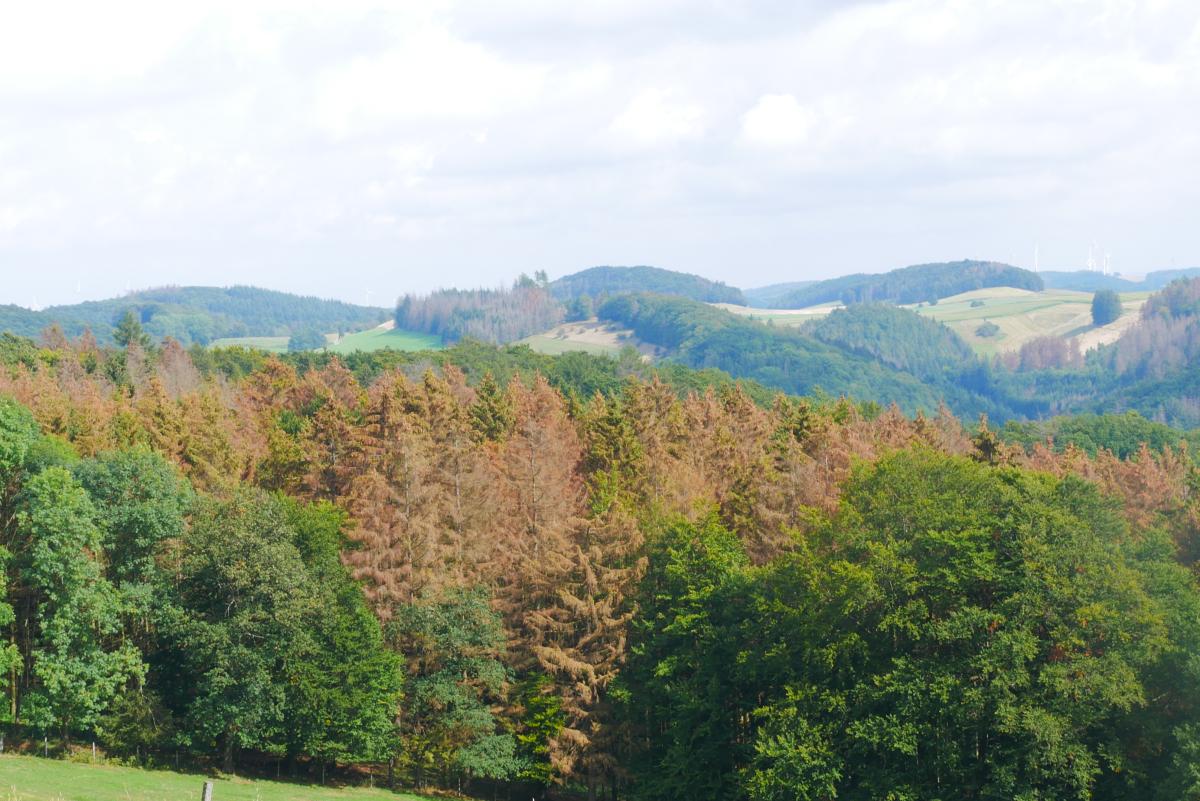
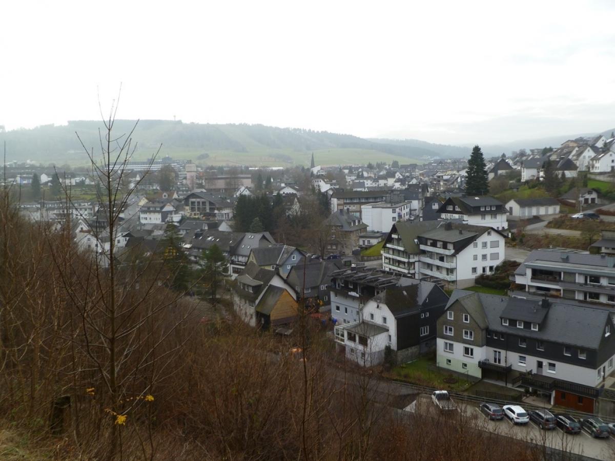
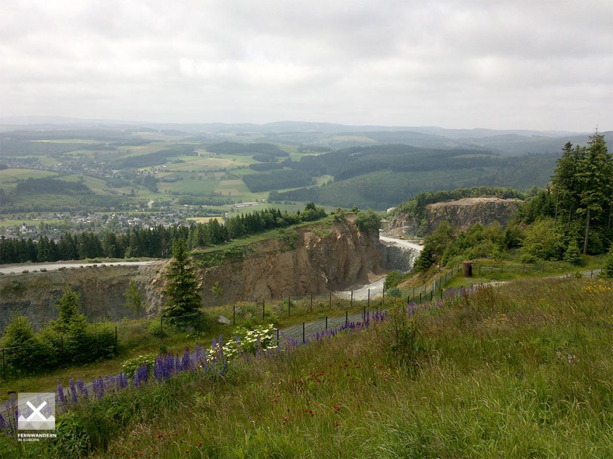
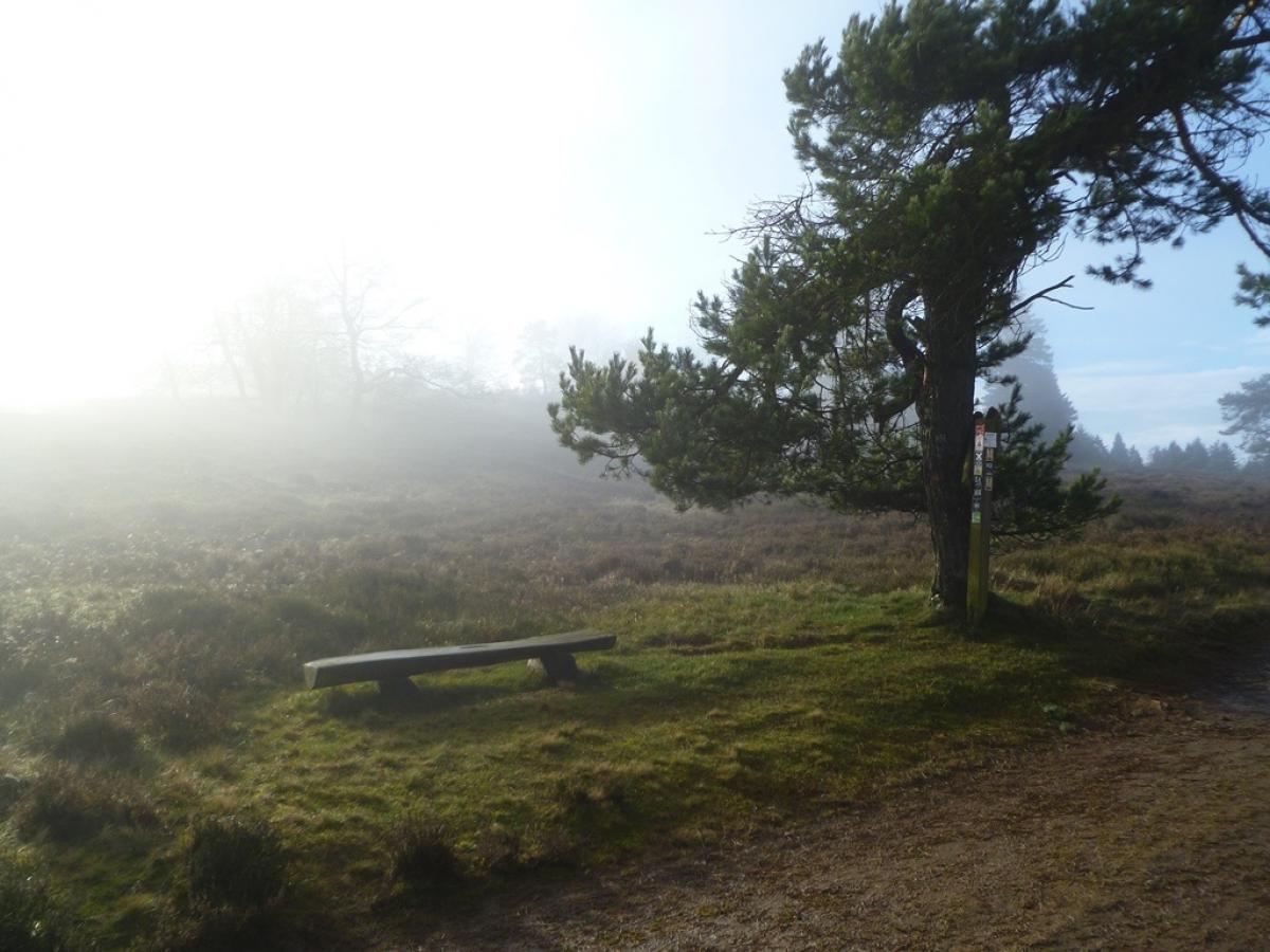
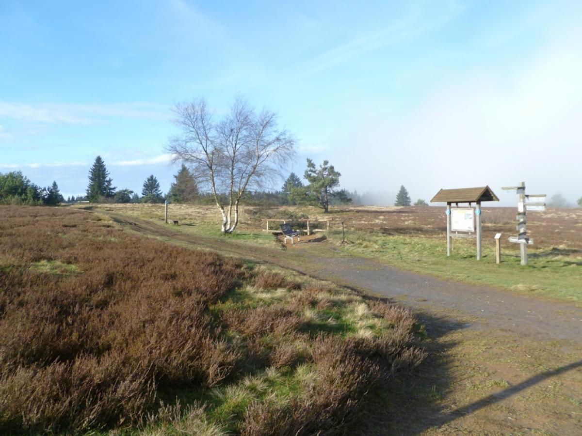
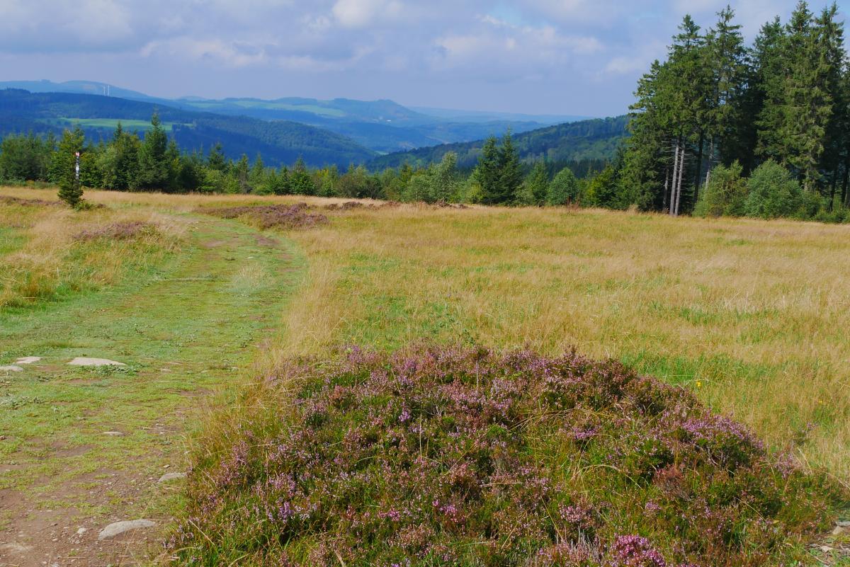
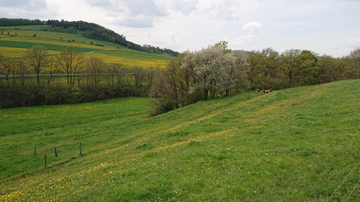
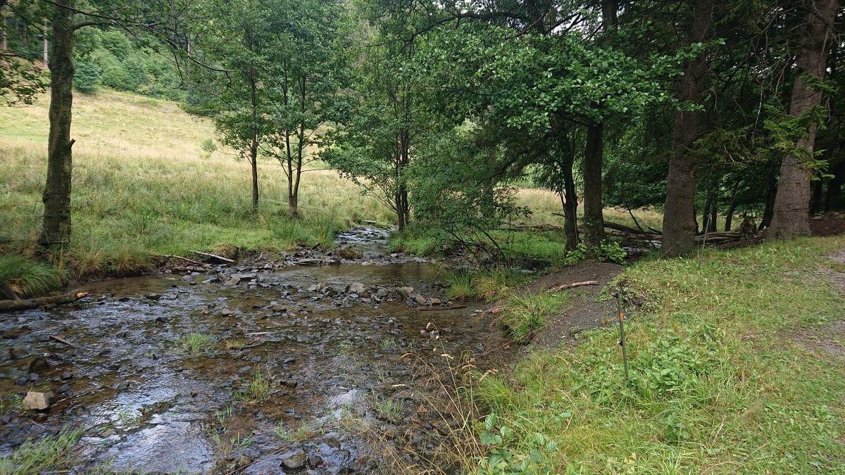
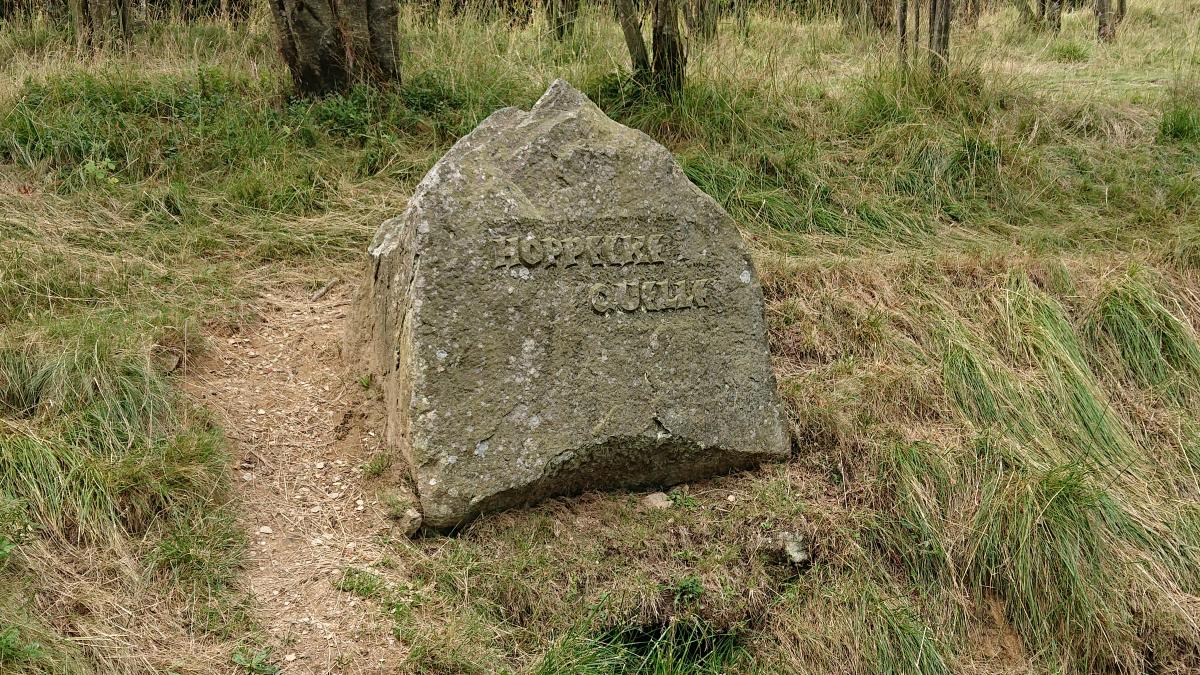
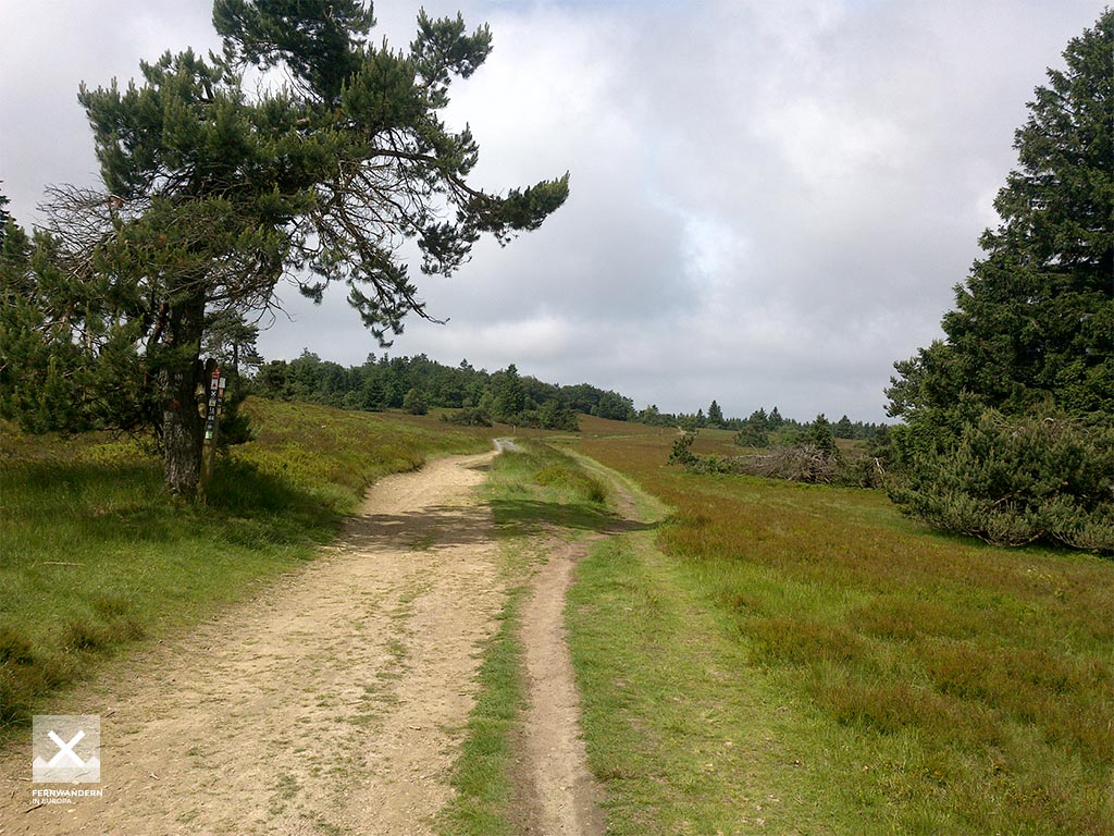
Von Schweinsbühl zunächst nach Deisfeld, dann deutlich ansteigend auf aussichtsreichen Feldwegen weiter westwärts über die 600 Höhenmeterlinie hinaus. Hinab nach Rattlar und auf der Straße über die nächste Kuppe nach Schwalefeld. Dann geht es auf schattigem Weg den Bach entlang ins touristische Willingen. An Liftanlagen vorbei durchs Hoppecketal hinauf und an der schönen Hochheide vorbei zum Clemensberg, 839 m. Einkehrmöglichkeit in der Hochheidehütte und dann auf Waldpfad und später anderen Wegen hinab nach Niedersfeld.
Hiking maps
No maps added yet
Marking
Accommodation
| Accommodation | Price group | |||
|---|---|---|---|---|
| 5-15 € | 16-30 € | 31-45 € | >45 € | |
|
Gasthaus und Pension Döbelt
Diemelsee-Schweinsbühl
Price group: 15-30 €
|
|
|||
|
DJH Jugendherberge Willingen
Willingen-Schwalefeld
Price group: 15-30 €
|
|
|||
|
AngelikaS Hotel Garni
Willingen
Price group: >45 €
|
|
|||
|
Pension Gretel von Birne
Niedersfeld
Price group: >45 €
|
|
|||
|
Landhaus Pension Voß
Winterberg (Niedersfeld)
Price group: >45 €
|
|
|||
|
Show more accommodation in Schweinsbühl
, Deisfeld
, Willingen
and Niedersfeld
(booking.com / Ad)
|
||||
Sights
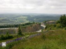
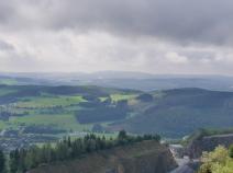
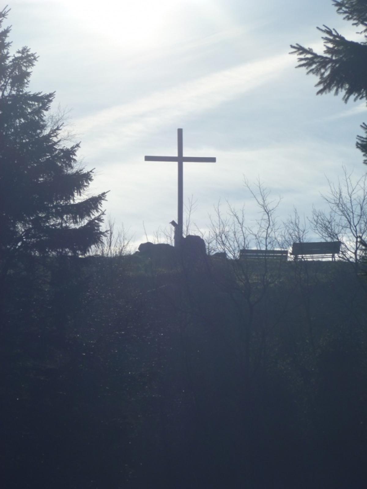
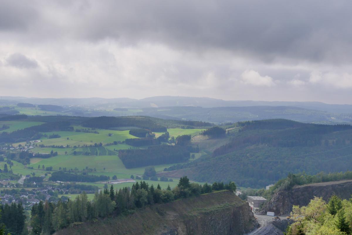
Clemensberg
On the Clemensberg (837m) the E1 hiker can expect a wonderful view. On the way down to Niedersfeld, the Clemensberg Hiking Hut invites you to stop for refreshment and a rest on the terrace.
Sources and copyright
GPX track coordinates: © OpenStreetMap contributors. Published under Open Database License (ODbL)GPX-Downloads
You can use the GPX track for navigation and tour planning on your digital device (GPS, smartphone, online tour planner).
| Etappe Stage 6.02 Schweinsbühl - Niedersfeld | Download (.gpx) |
| All tracks in Germany | Download (.zip) |
The download and many of the services offered on this page are free of charge. However, I would greatly appreciate a small donation as a token of appreciation for my work! This can be done through Paypal or a supporting membership. Thank you very much!