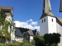
6.6 Bad Laasphe - Lahnhof
17.7km
Distance
-
Walking time
688m
Total climb
439m
Total descent
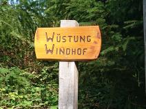
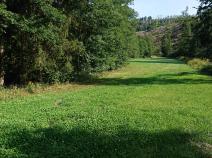
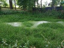
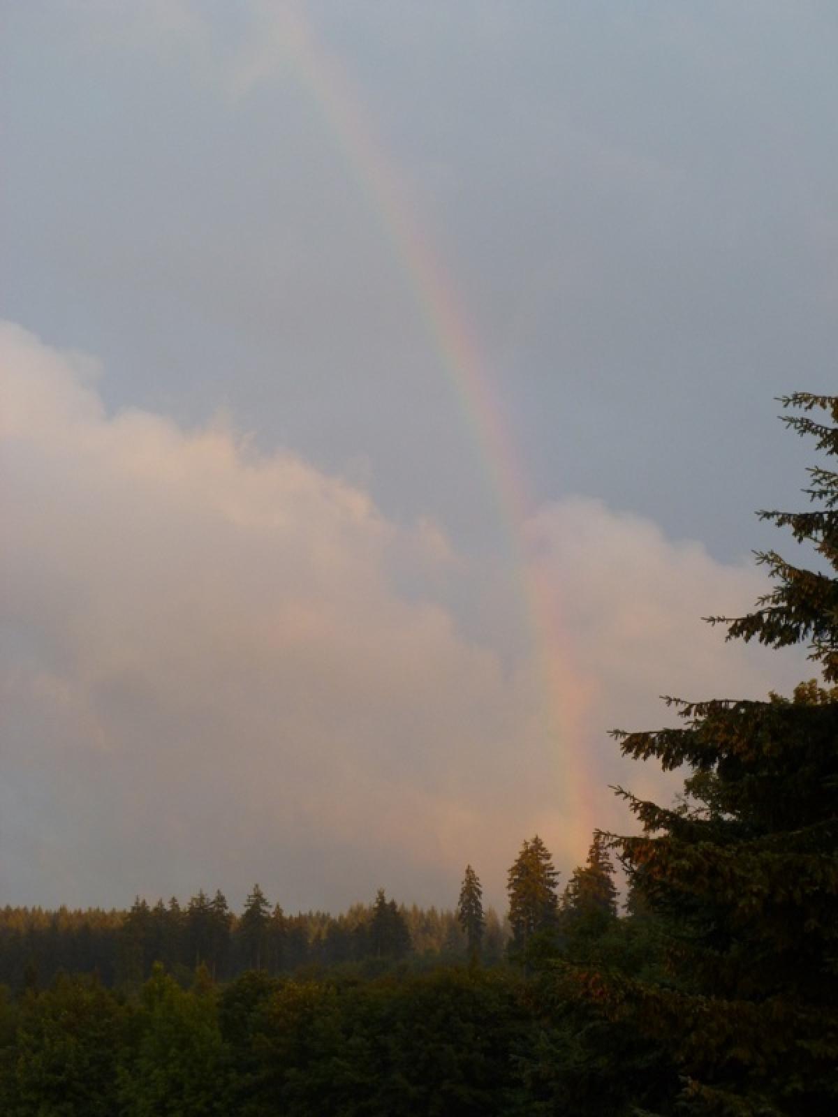
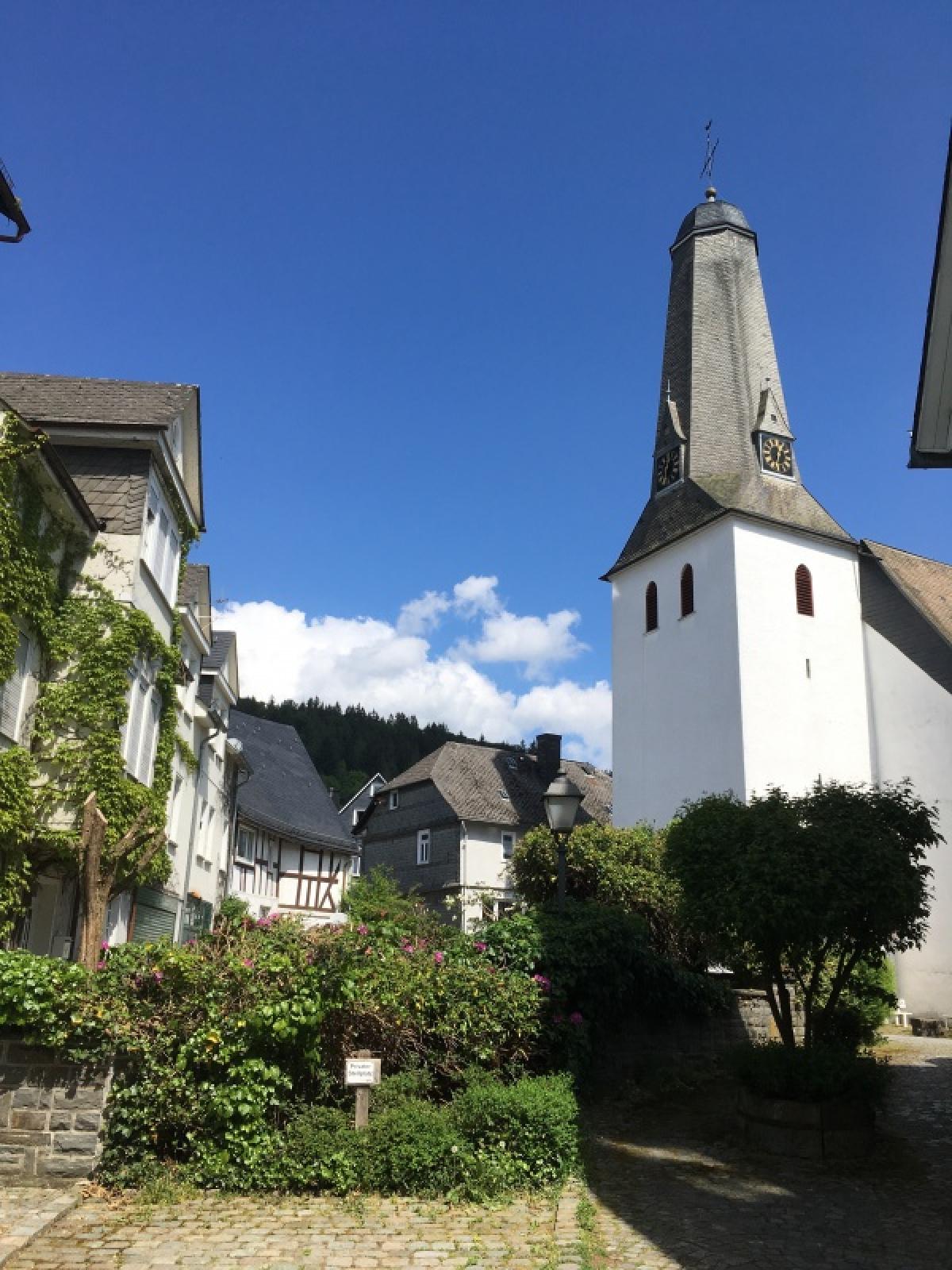
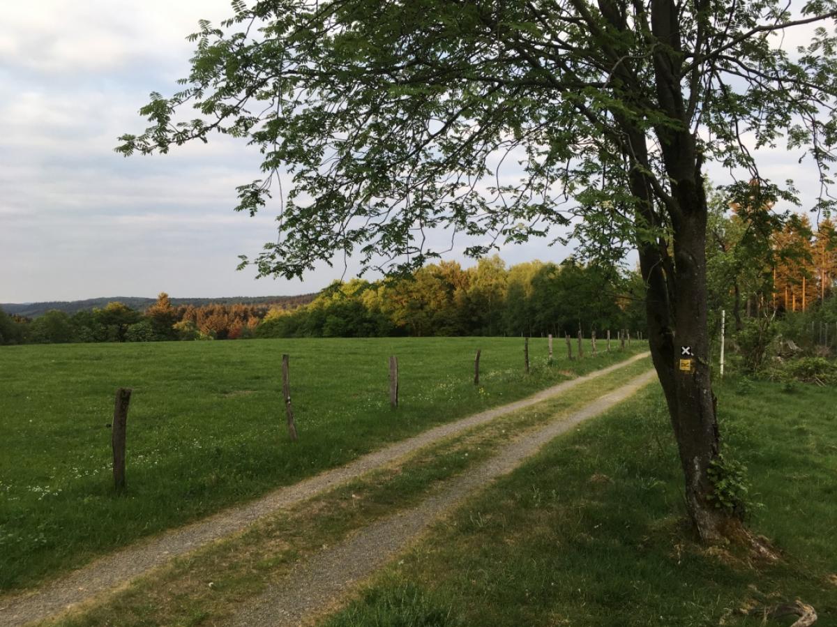
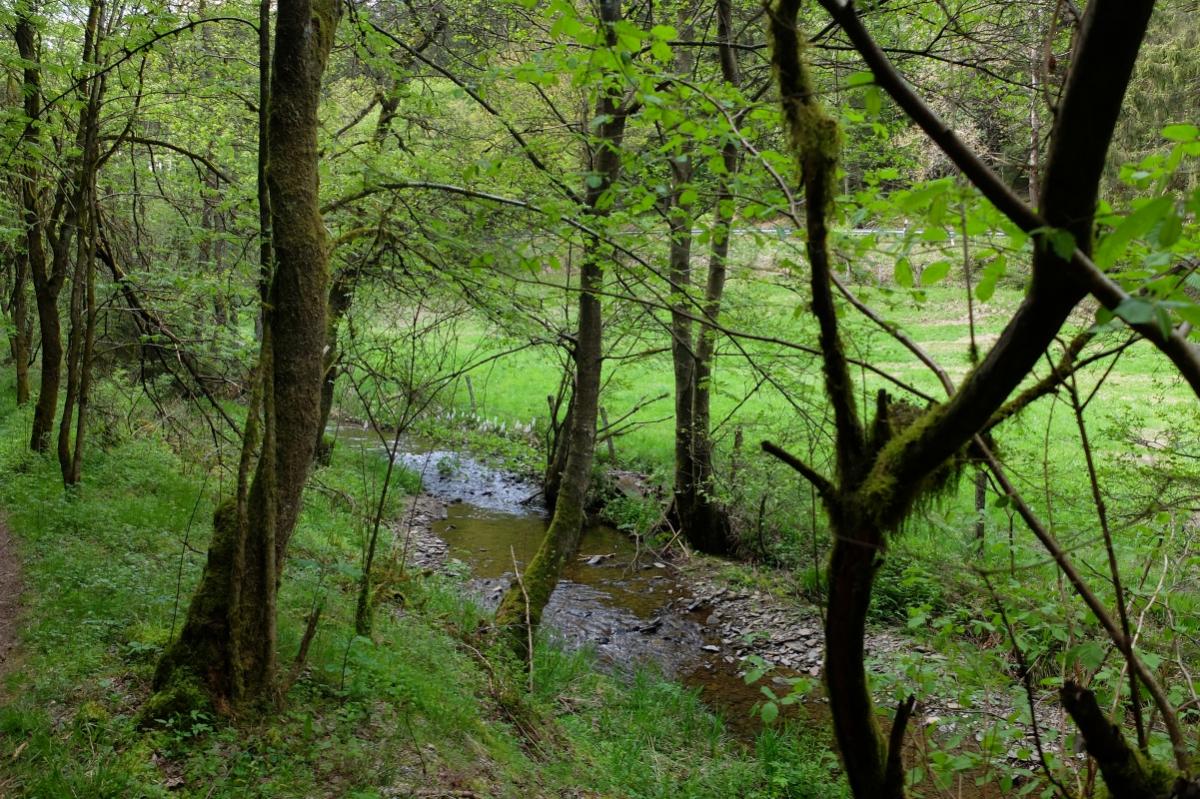
Photos

Stage description
N.B.: We don't have an English description of the stage just yet. We'll give you the German version for now until the English version is ready.
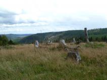
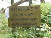
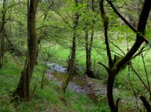
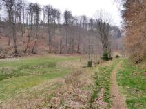
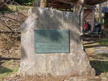
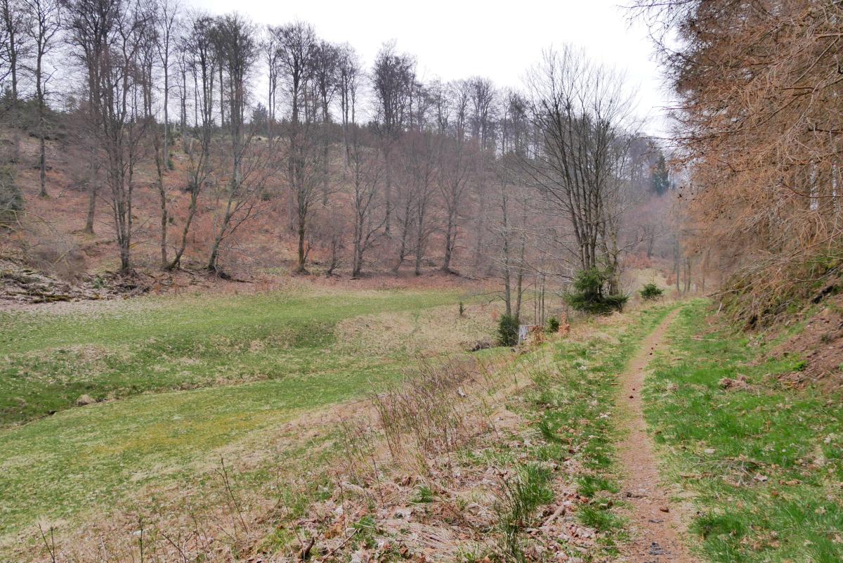
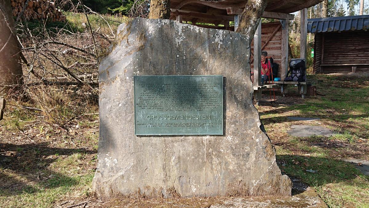
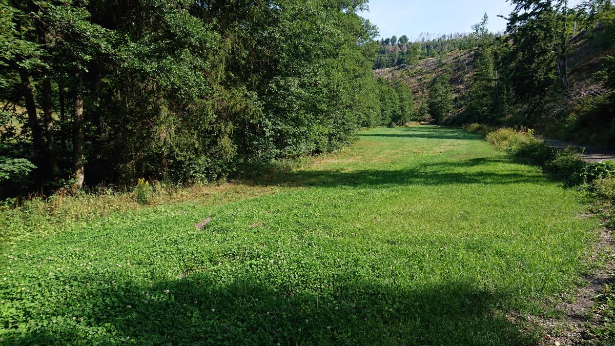
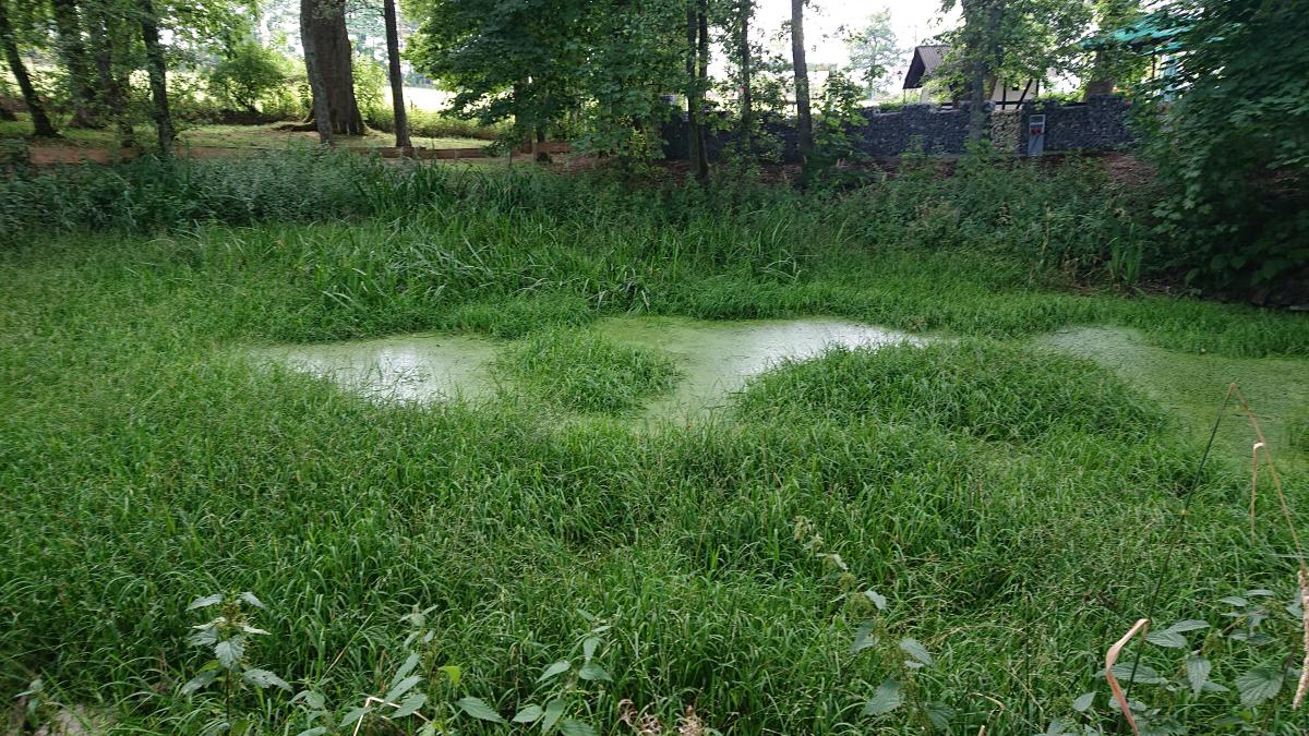
Von Bad Laasphe geht es an der Straße bis zum Bahnübergang Friedrichshütte und hinter der Bahn rechts bald in den Wald hinauf. Gemächlicher Anstieg durch überwiegend Laubwald, später dann Reste des derzeit wegen Trockenheit und Borkenkäfer abgeholzten Nadelwalds. Bald nach dem Rastplatz am Großgemeindestein geht es rechts relativ steil hinab ins Ilsetal. Dann auf schönem teilweise aber schwer begehbarem Weg entlang der Ilse bis zu ihrer Quelle, einer der schönsten Talwege seit Flensburg. Dann rechts aufwärts und bald parallel zu einer Straße zum Lahnhof.
Hiking maps
No maps added yet
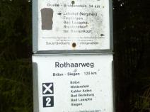
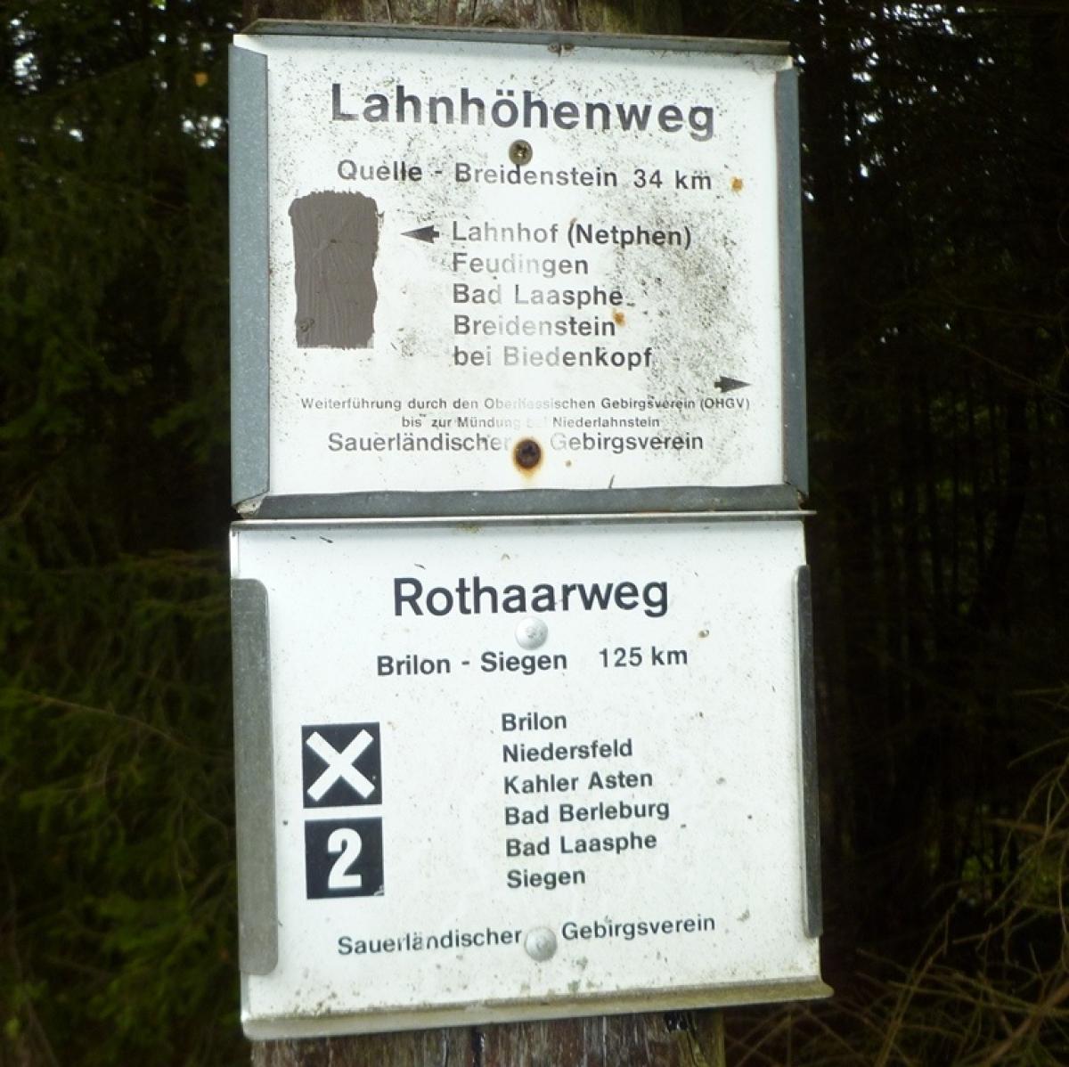
Marking
-
 SGV Hauptwanderweg 2
Accommodation
| Accommodation | Price group | |||
|---|---|---|---|---|
| 5-15 € | 16-30 € | 31-45 € | >45 € | |
|
Campingplatz Laasphetal
Bad Laasphe
Price group: 5-15 €
|
|
|||
|
Hotel Berghaus Sieben
Bad Laasphe
Price group: €
|
||||
|
Gästehaus Heinrich
Bad Laasphe
Price group: 30-45 €
|
|
|||
|
Landgasthof zum Lahnhof
Netphen-Lahnhof
Price group: 30-45 €
|
|
|||
|
Forsthaus Lahnquelle
Netphen-Lahnhof
Price group: 30-45,>45 €
|
|
|
||
|
Show more accommodation in Bad Laasphe
(booking.com / Ad)
|
||||
Sources and copyright
GPX track coordinates: © OpenStreetMap contributors. Published under Open Database License (ODbL)GPX-Downloads
You can use the GPX track for navigation and tour planning on your digital device (GPS, smartphone, online tour planner).
| Etappe Stage 6.6 Bad Laasphe - Lahnhof | Download (.gpx) |
| All tracks in Germany | Download (.zip) |
The download and many of the services offered on this page are free of charge. However, I would greatly appreciate a small donation as a token of appreciation for my work! This can be done through Paypal or a supporting membership. Thank you very much!