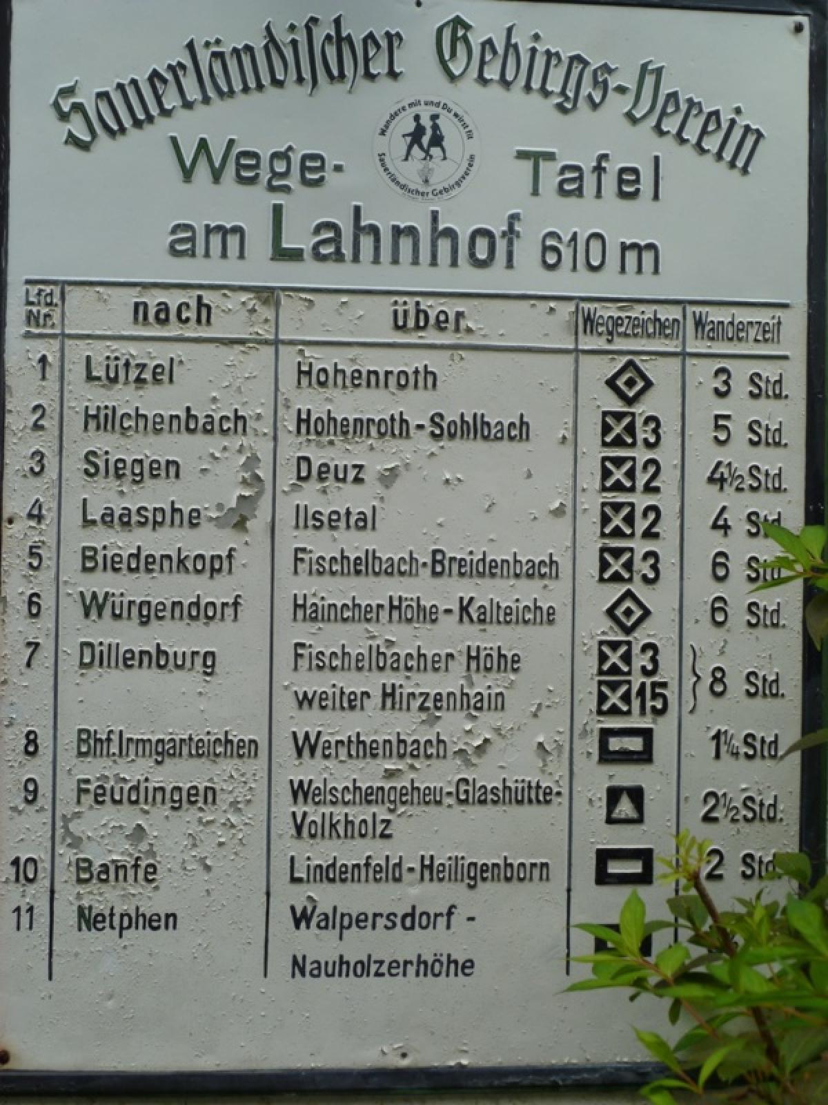
6.7 Lahnhof - Siegen
22.5km
Distance
-
Walking time
536m
Total climb
906m
Total descent
Photos
Stage description
N.B.: We don't have an English description of the stage just yet. We'll give you the German version for now until the English version is ready.
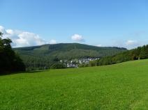
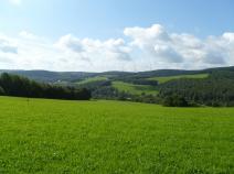
Vom Lahnhof geht es in westlicher Richtung zunächst auf schönen Waldwegen, dann auf Forststraßen, dann wieder auf reizvollen Pfaden und Wegen hinab nach Deuz. In diesem Abschnitt fehlen auch wegen gefällter Bäume einige Markierungen. So gingen wir an einer Kreuzung geradeaus und erwischten zufällig einen (sowieso von mir vorgesehenene, aber vermeintlich nicht gefundenen) schöneren Alternativweg zwischen zwei Kreuzungen des E 1.
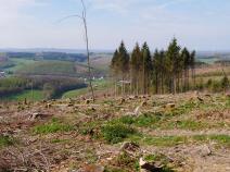
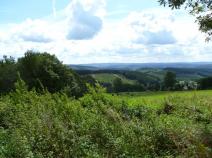
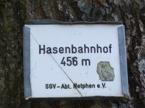
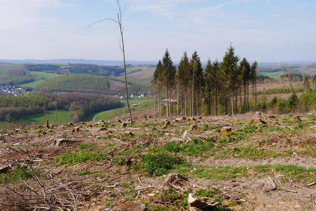
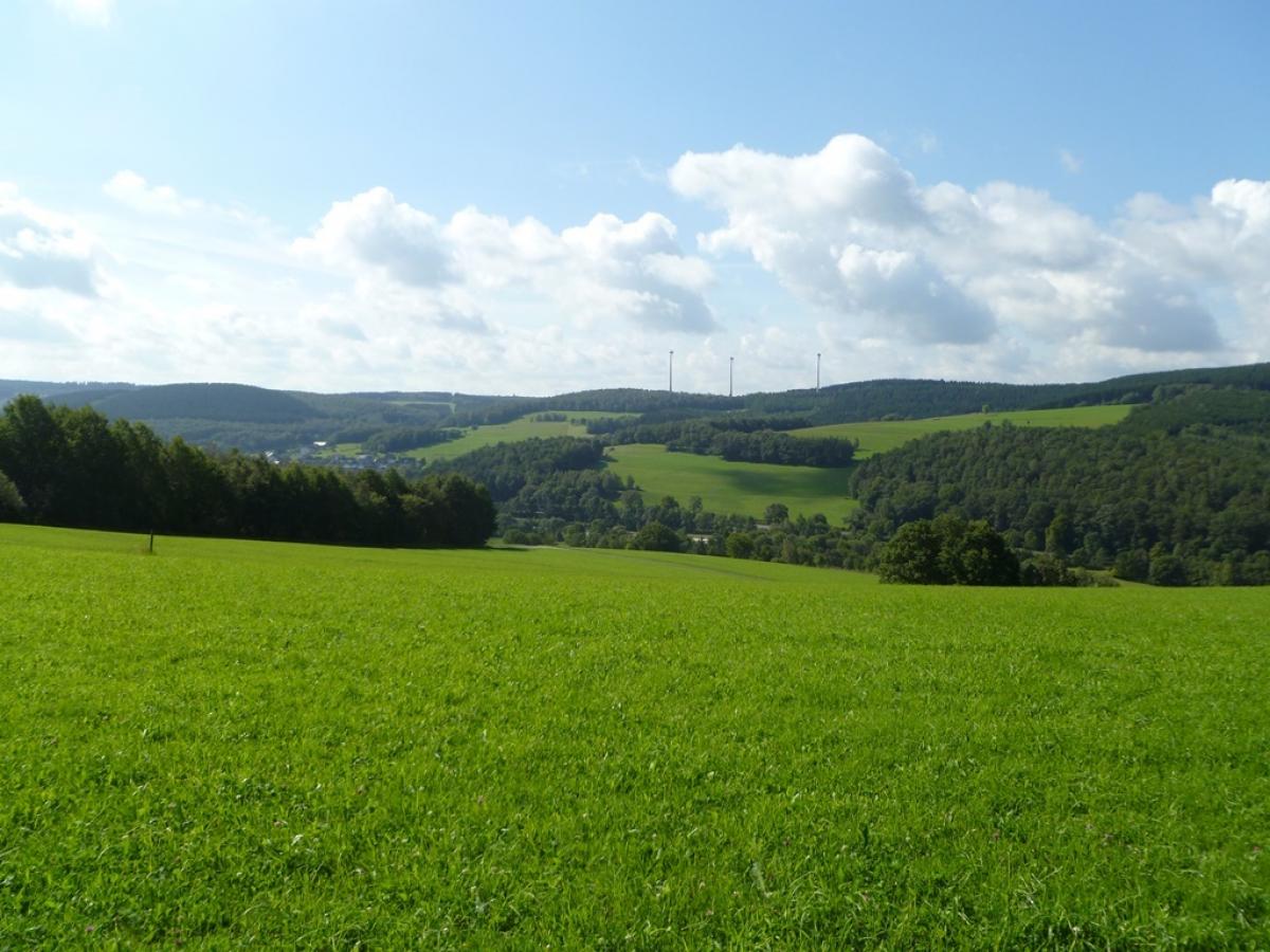
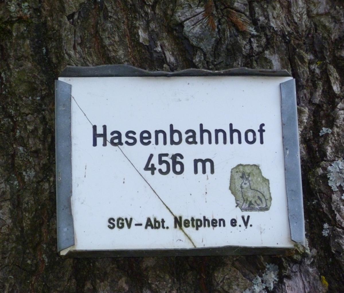
Bei Deuz dann ein Stück an der Sieg, links durch Industrie, dann rechts steil am Sportplatz aufwärts und am Ortsausgang rechts auf einen relaitv sanft ansteigenden Weg, der wegen Abholzungen derzeit einige schöne Aussichten bietet. An einem Holzlagerplatz schlecht markiert rechts und so bald zum Hasenbahnhof (der aktuell nicht als solcher beschildert ist).
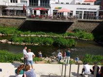
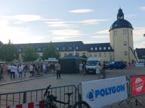
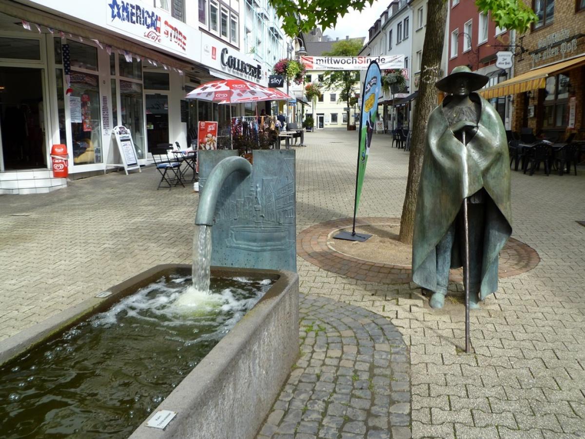
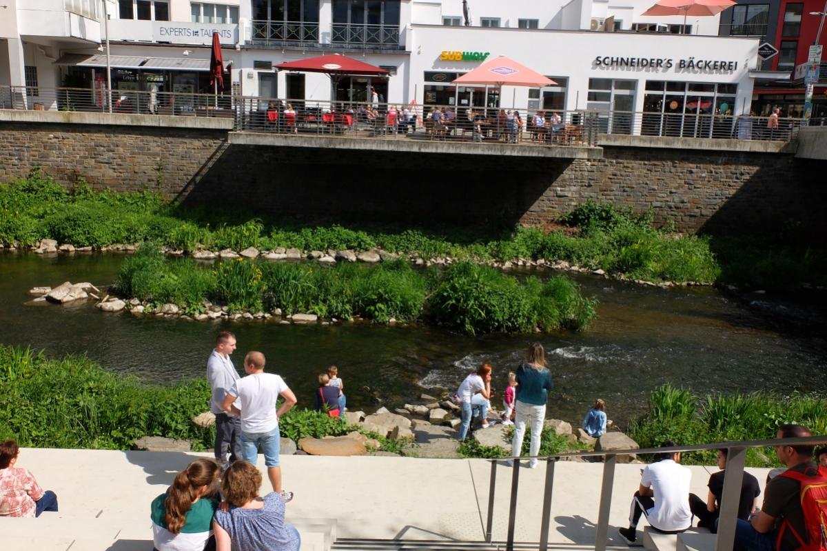
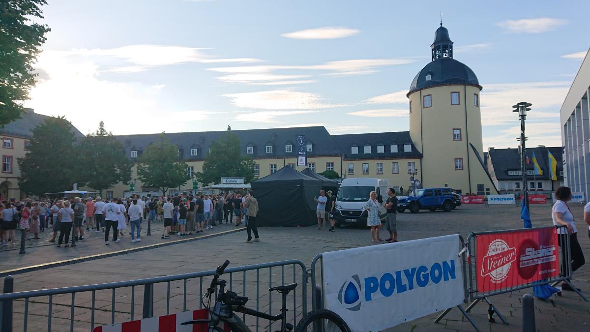
Anschließend geht es auf Forstwegen hinab nach Siegen. Dort verläuft der Weg vorwiegend durch Grünflächen und Wohnviertel. Ein letzter Anstieg führt zum oberen Schloß bevor man durch die Altstadt und über die Sieg zum Bahnhof gelangt.
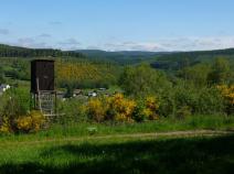
Wegen des Aussichtsturms auf dem Rabenhain und um weniger durch die Stadt zu gehen, kann man ab dem Hasenbahnhof auch eine Alternativroutehttps://www.hikr.org/tour/post171250.html, laufen.
Hiking maps
No maps added yet
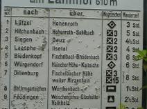
Marking
-
 SGV Hauptwanderweg 2
Accommodation
| Accommodation | Price group | |||
|---|---|---|---|---|
| 5-15 € | 16-30 € | 31-45 € | >45 € | |
|
Landgasthof zum Lahnhof
Netphen-Lahnhof
Price group: 30-45 €
|
|
|||
|
Forsthaus Lahnquelle
Netphen-Lahnhof
Price group: 30-45,>45 €
|
|
|
||
|
Hotel Ewerts
Netphen-Deuz
Price group: €
|
||||
|
Villa Trallala
Siegen
Price group: 15-30 €
|
|
|||
|
Show more accommodation in Siegen
(booking.com / Ad)
|
||||
Sources and copyright
GPX track coordinates: © OpenStreetMap contributors. Published under Open Database License (ODbL)GPX-Downloads
You can use the GPX track for navigation and tour planning on your digital device (GPS, smartphone, online tour planner).
| Etappe Stage 6.7 Lahnhof - Siegen | Download (.gpx) |
| All tracks in Germany | Download (.zip) |
The download and many of the services offered on this page are free of charge. However, I would greatly appreciate a small donation as a token of appreciation for my work! This can be done through Paypal or a supporting membership. Thank you very much!