6.4 Oberkirchen - Bad Berleburg
17.2km
Distance
-
Walking time
574m
Total climb
585m
Total descent
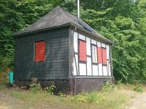
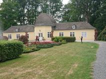
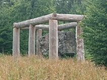
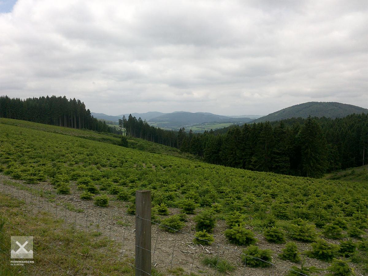
Photos
Stage description
N.B.: We don't have an English description of the stage just yet. We'll give you the German version for now until the English version is ready.
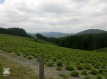
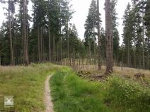
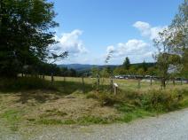
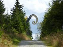
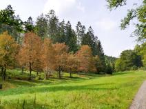
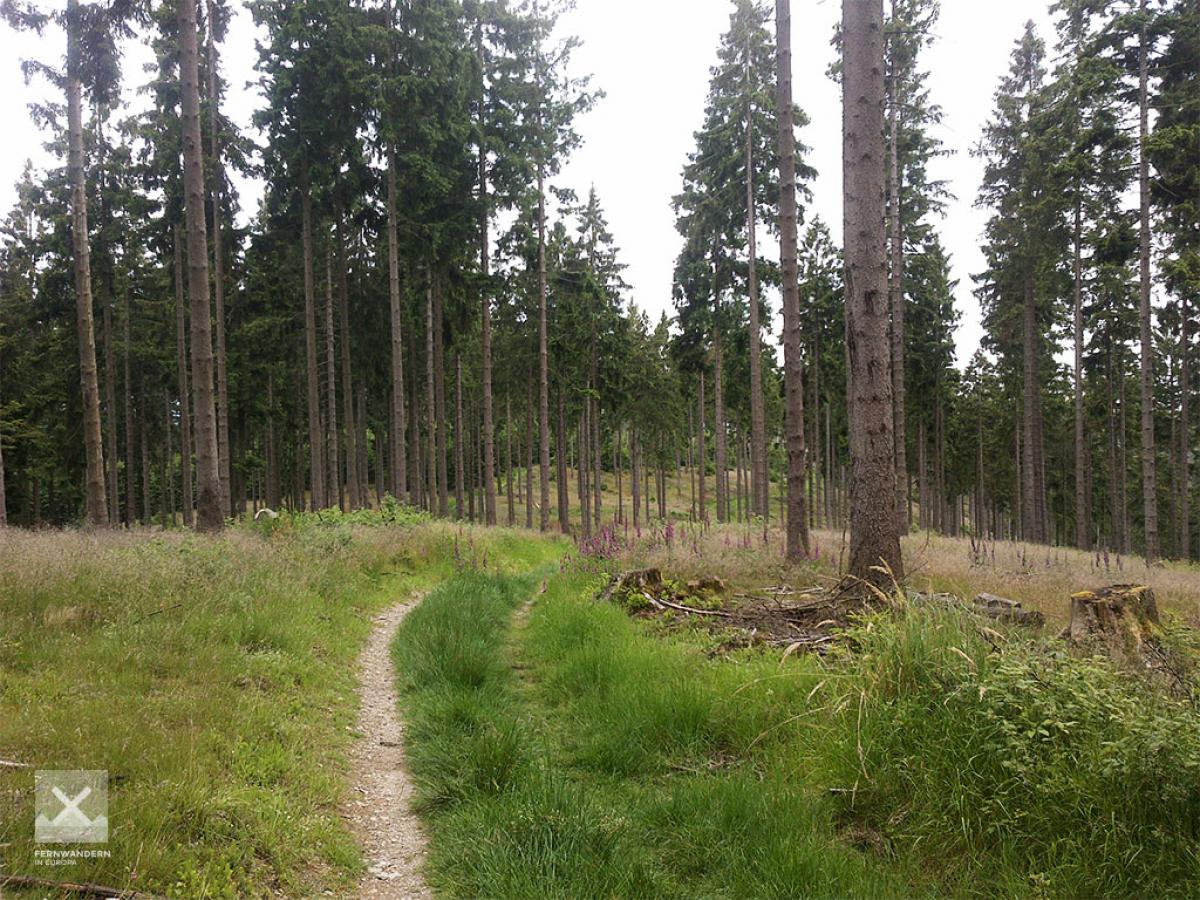
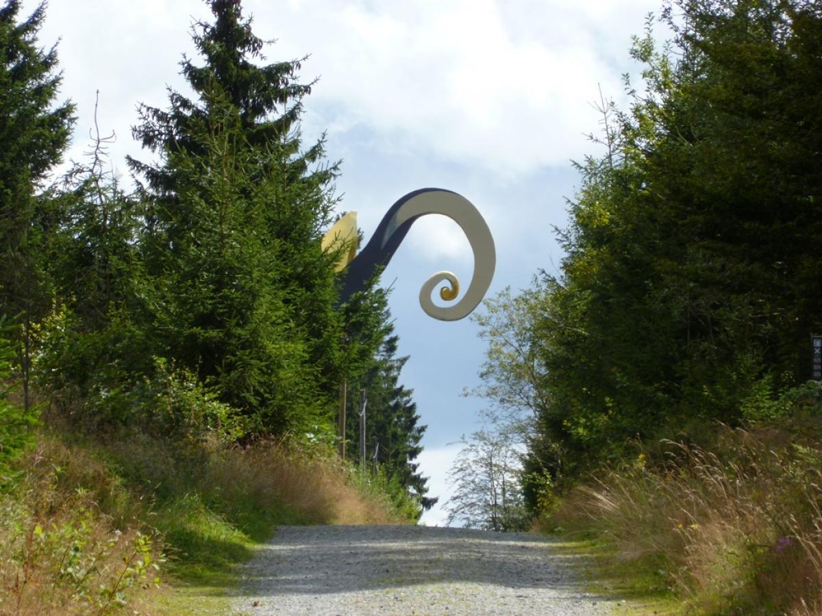
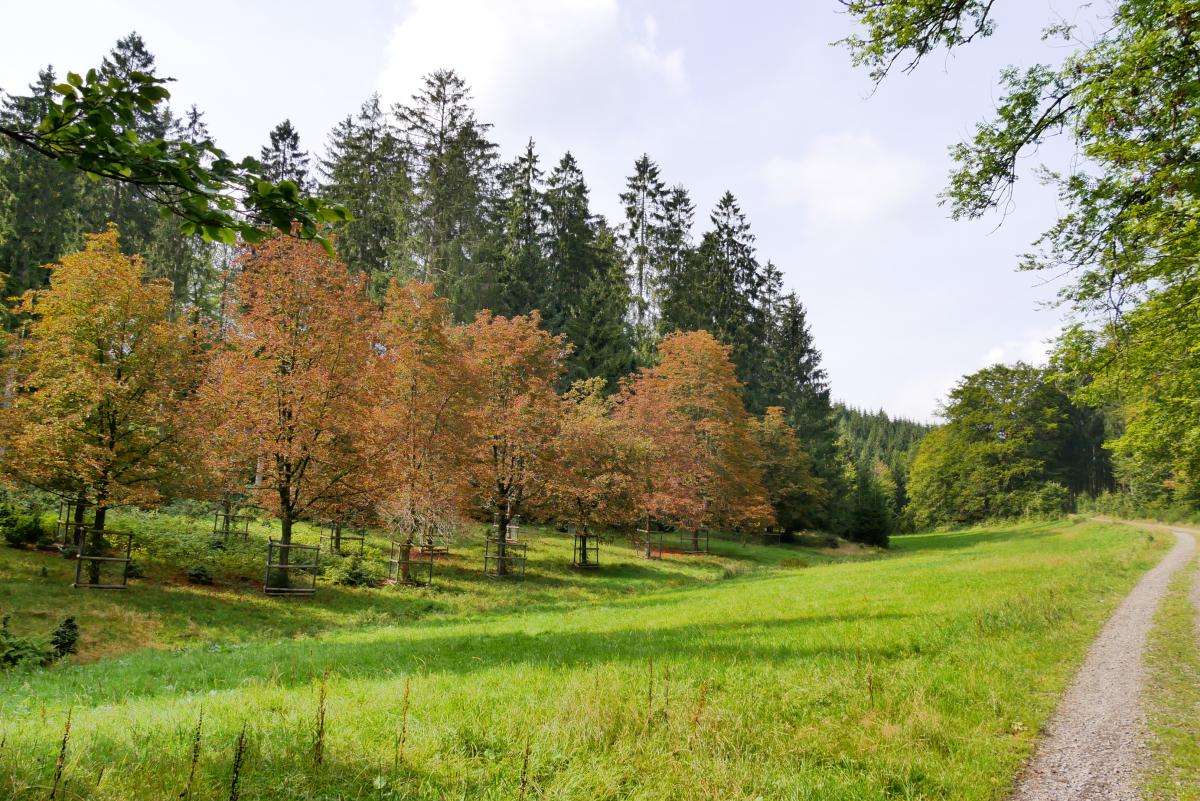
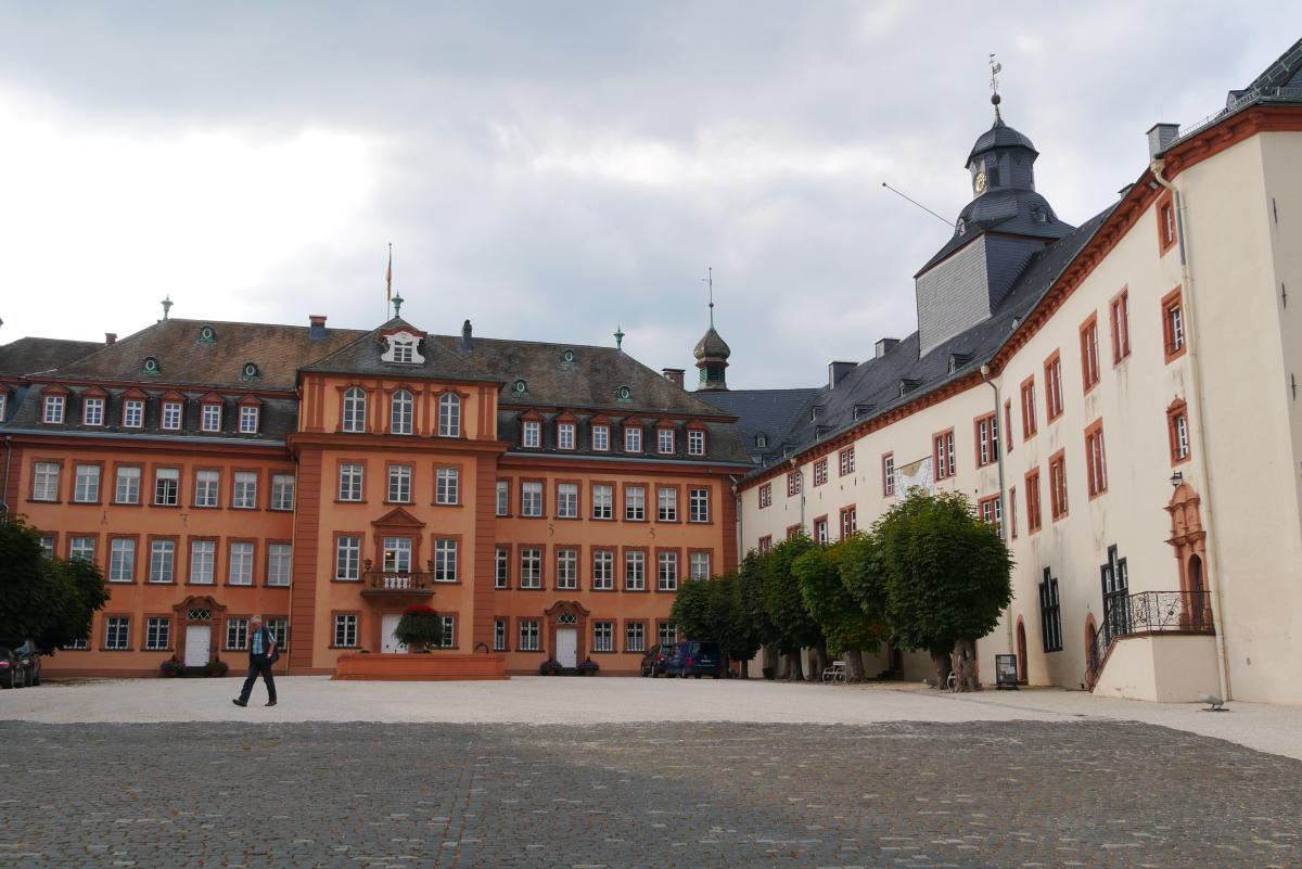
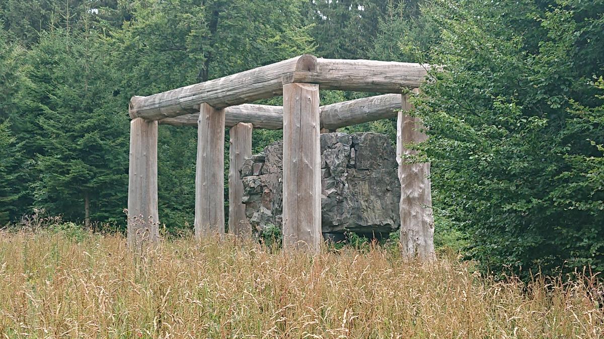
Von Oberkirchen geht es erst südlich durchs Tal bis kurz vor Lüttmecke. Dann westlich auf einem Forstweg aufwärts. Dort beginnt der Skulpturenwald. Weiter ein Stück aus Asphalt nach Süden und dann über einen Forstweg weiter hinauf nach Schanze. Dann geht es auf Waldwegen erst östlich, dann südlich an Kühhude vorbei und weiter durch viel Wald mit gelegentlichen Ausblicken ziemlich stetig südwärts. Kurz vor Bad Berleburg ein Stück durch landwirtschaftliche Flächen und wieder durch Wald mehrfach abbiegend hinab nach Bad Berleburg.
Zwar sind die Wege angenehm zu gehen, aber besonders spannend ist diese Etappe nicht.
The following users contributed to this text:
Hiking maps
No maps added yet
Marking
-
 SGV Hauptwanderweg 2
Accommodation
| Accommodation | Price group | |||
|---|---|---|---|---|
| 5-15 € | 16-30 € | 31-45 € | >45 € | |
|
Hotel Schieferhof
Schmallenberg (Oberkirchen)
Price group: €
|
||||
|
Pension Schauerte-Wulf
Schmallenberg - Oberkirchen
Price group: 30-45 €
|
|
|||
|
Ferienwohnung "Rothaargebirge"
Schmallenberg
Price group: €
|
||||
|
Wanderhütte PTSV Dortmund
Schmallenberg - Oberkirchen
Price group: €
|
||||
|
Landhaus Wittgenstein
Bad Berleburg
Price group: 30-45 €
|
|
|||
|
Hotel Berleburger Hof
Bad Berleburg
Price group: €
|
||||
|
Show more accommodation in Oberkirchen
, Schmallenberg
and Bad Berleburg
(booking.com / Ad)
|
||||
Sources and copyright
GPX track coordinates: © OpenStreetMap contributors. Published under Open Database License (ODbL)GPX-Downloads
You can use the GPX track for navigation and tour planning on your digital device (GPS, smartphone, online tour planner).
| Etappe Stage 6.4 Oberkirchen - Bad Berleburg | Download (.gpx) |
| All tracks in Germany | Download (.zip) |
The download and many of the services offered on this page are free of charge. However, I would greatly appreciate a small donation as a token of appreciation for my work! This can be done through Paypal or a supporting membership. Thank you very much!