6.3 Niedersfeld - Oberkirchen
26.6km
Distance
-
Walking time
1135m
Total climb
1221m
Total descent
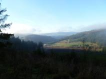
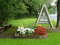
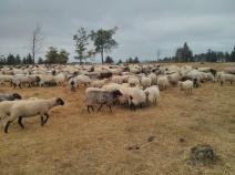
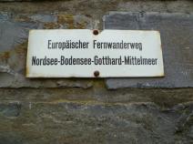
Photos

Stage description
N.B.: We don't have an English description of the stage just yet. We'll give you the German version for now until the English version is ready.
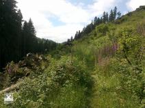
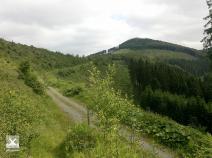
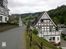
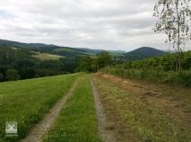
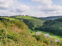
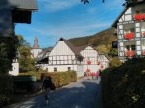
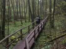
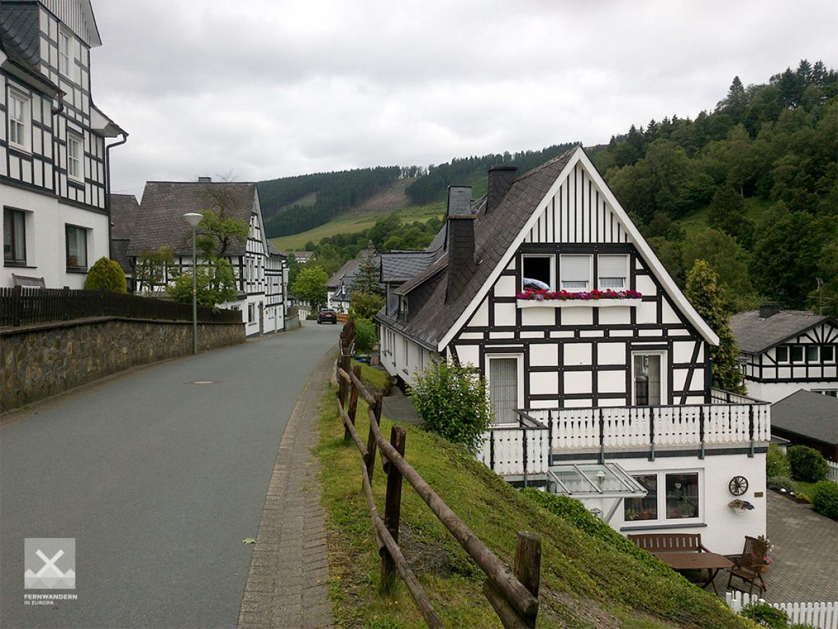
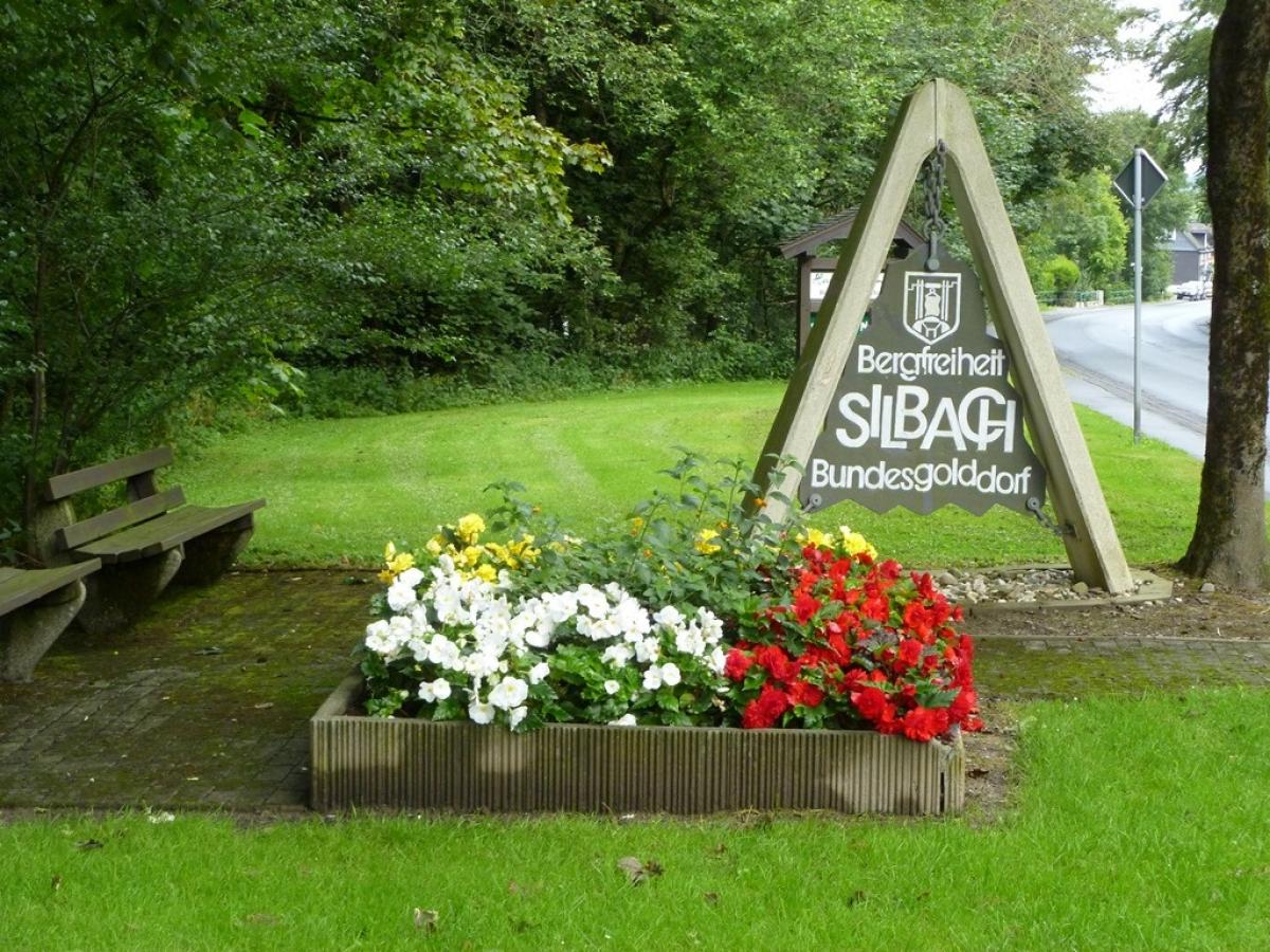
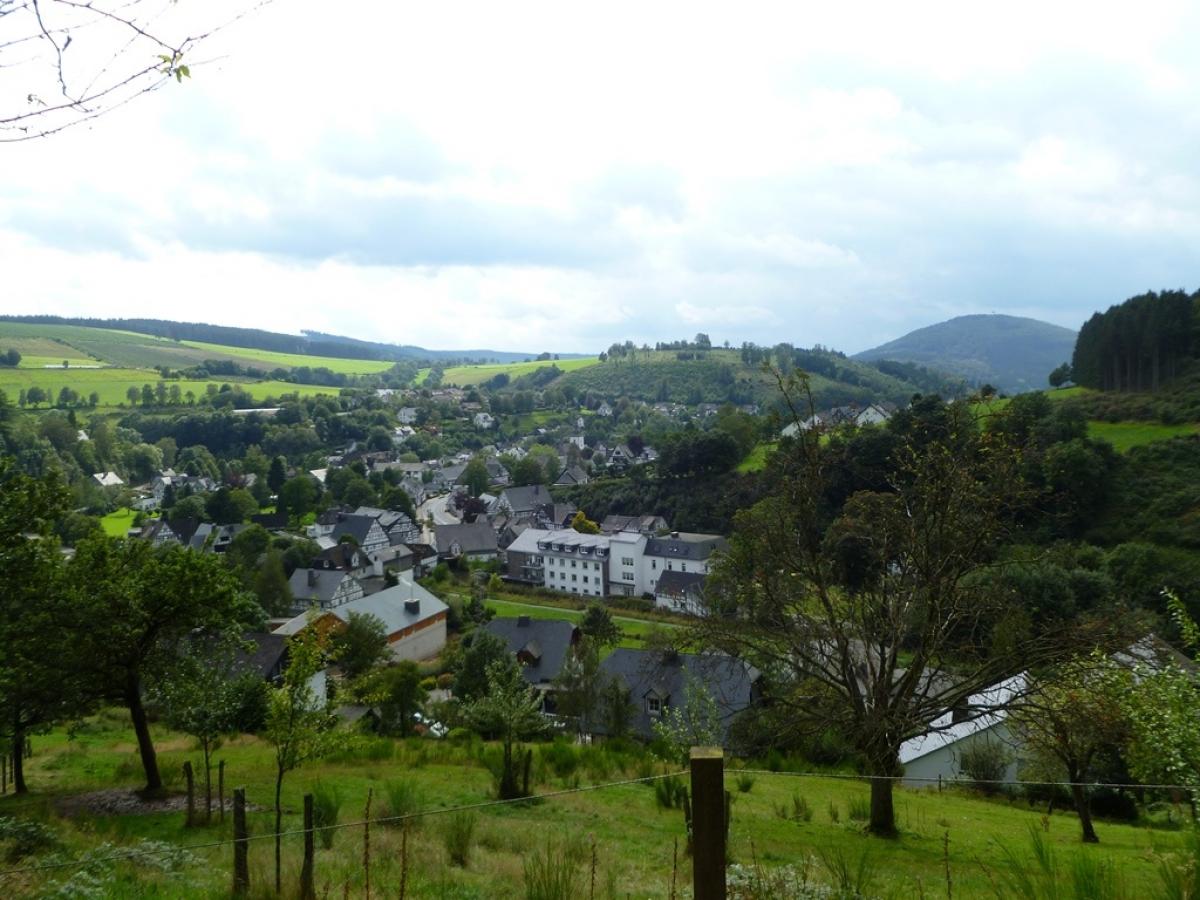
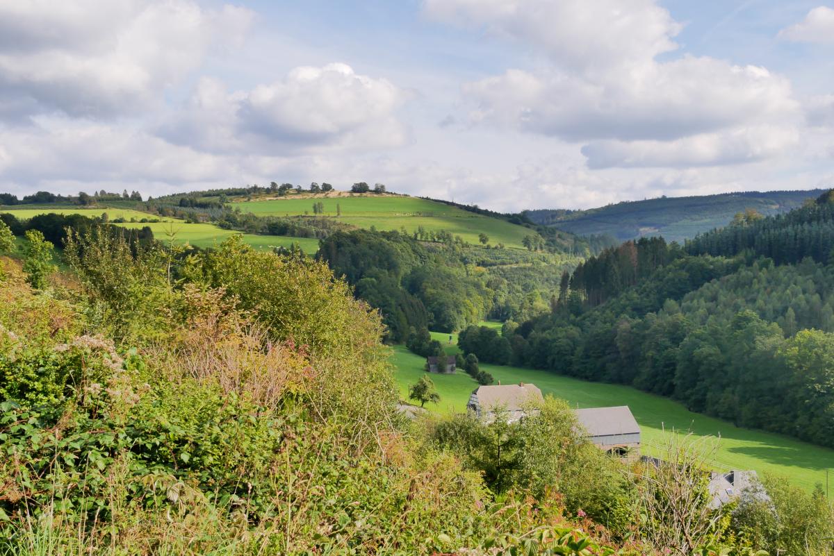
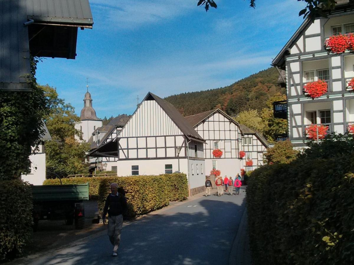
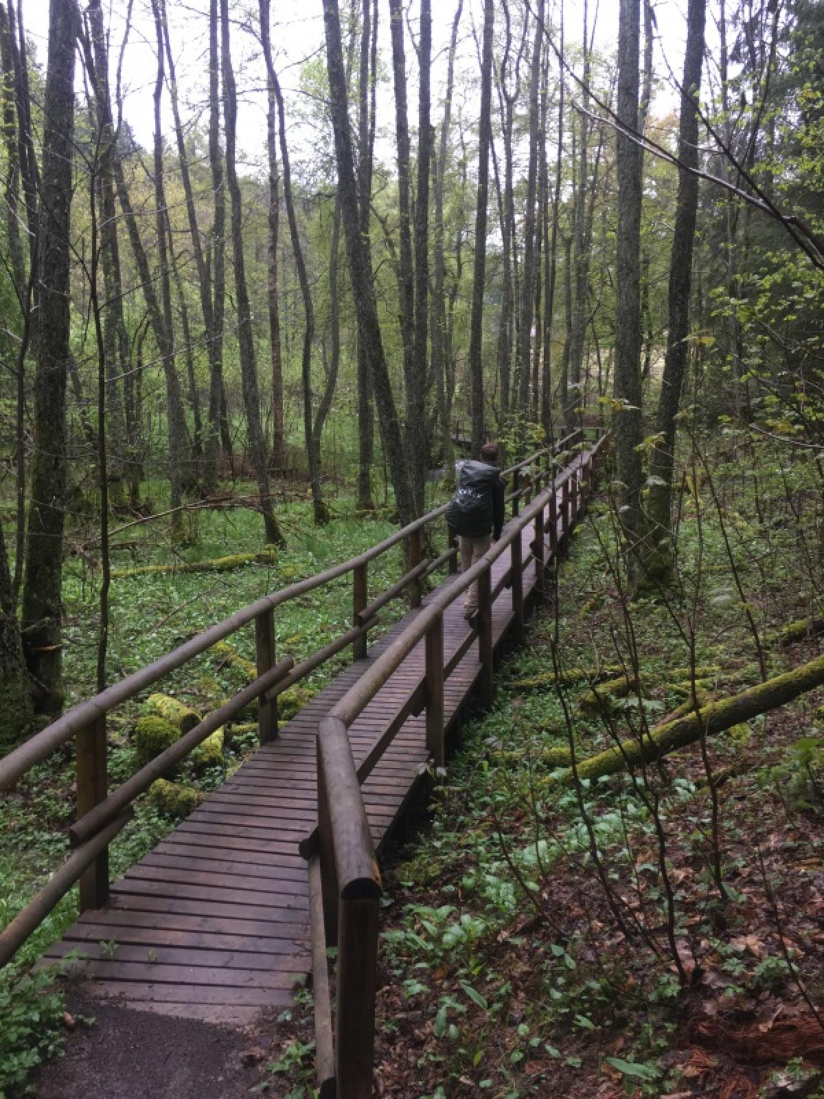
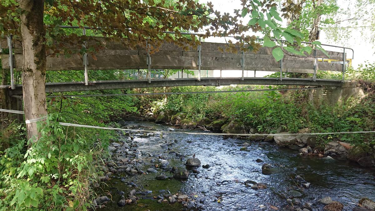
Zunächst zieht der Weg um Niedersfeld herum und geht dann im Wald aufwärts zum Bildstock St. Blasius. Nach einem kurzen Abschnitt auf schönem Pfad geht es wieder auf einer Forststraße hinab nach Silbach. Nach Durchquerung des Dorfes geht es auf Forstwegen wieder aufwärts zur Kreuzung "Marktplätze" und durch Wald ins Renautal. Hier gibt es dann einen Abschnitt auf einem Lehrpfad auf Stegen, bevor es steiler aufwärts geht zum Nordhang des Kahlen Asten. Dieser wird in einem östlich verlaufenden Bogen über einen Waldweg erreicht. Nach dem Besuch des bekanntesten, aber nicht höchsten Berges Nordrhein-Westfalens geht es auf Waldwegen hinab ins oberste Lennetal und um den hohen Knochen und den Hömberg herum hinab in das Fachwerkdorf Westfeld. Dann noch einmal hinauf an einer Kapelle vorbei und aussichtsreich über Oberkirchen entlang und schließlich etwas rückwärtig ins Dorf hinab.
Hiking maps
No maps added yet
Marking
-
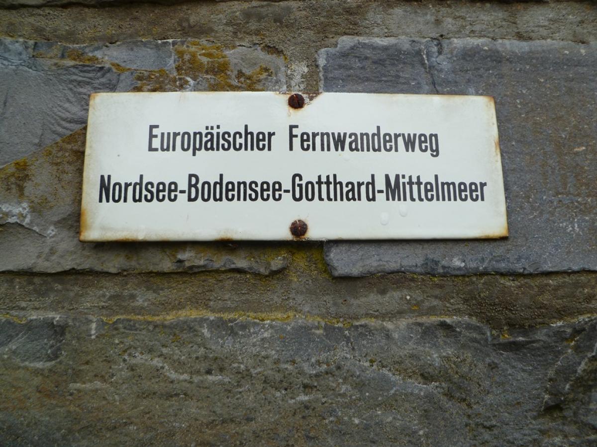
 SGV Hauptwanderweg 2
Accommodation
| Accommodation | Price group | |||
|---|---|---|---|---|
| 5-15 € | 16-30 € | 31-45 € | >45 € | |
|
Pension Gretel von Birne
Niedersfeld
Price group: >45 €
|
|
|||
|
Landhaus Pension Voß
Winterberg (Niedersfeld)
Price group: >45 €
|
|
|||
|
Berghotel Hoher Knochen
Schmallenberg
Price group: >45 €
|
|
|||
|
Hotel Schieferhof
Schmallenberg (Oberkirchen)
Price group: €
|
||||
|
Pension Schauerte-Wulf
Schmallenberg - Oberkirchen
Price group: 30-45 €
|
|
|||
|
Ferienwohnung "Rothaargebirge"
Schmallenberg
Price group: €
|
||||
|
Wanderhütte PTSV Dortmund
Schmallenberg - Oberkirchen
Price group: €
|
||||
|
Show more accommodation in Niedersfeld
, Winterberg
and Schmallenberg
(booking.com / Ad)
|
||||
Sights
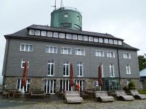
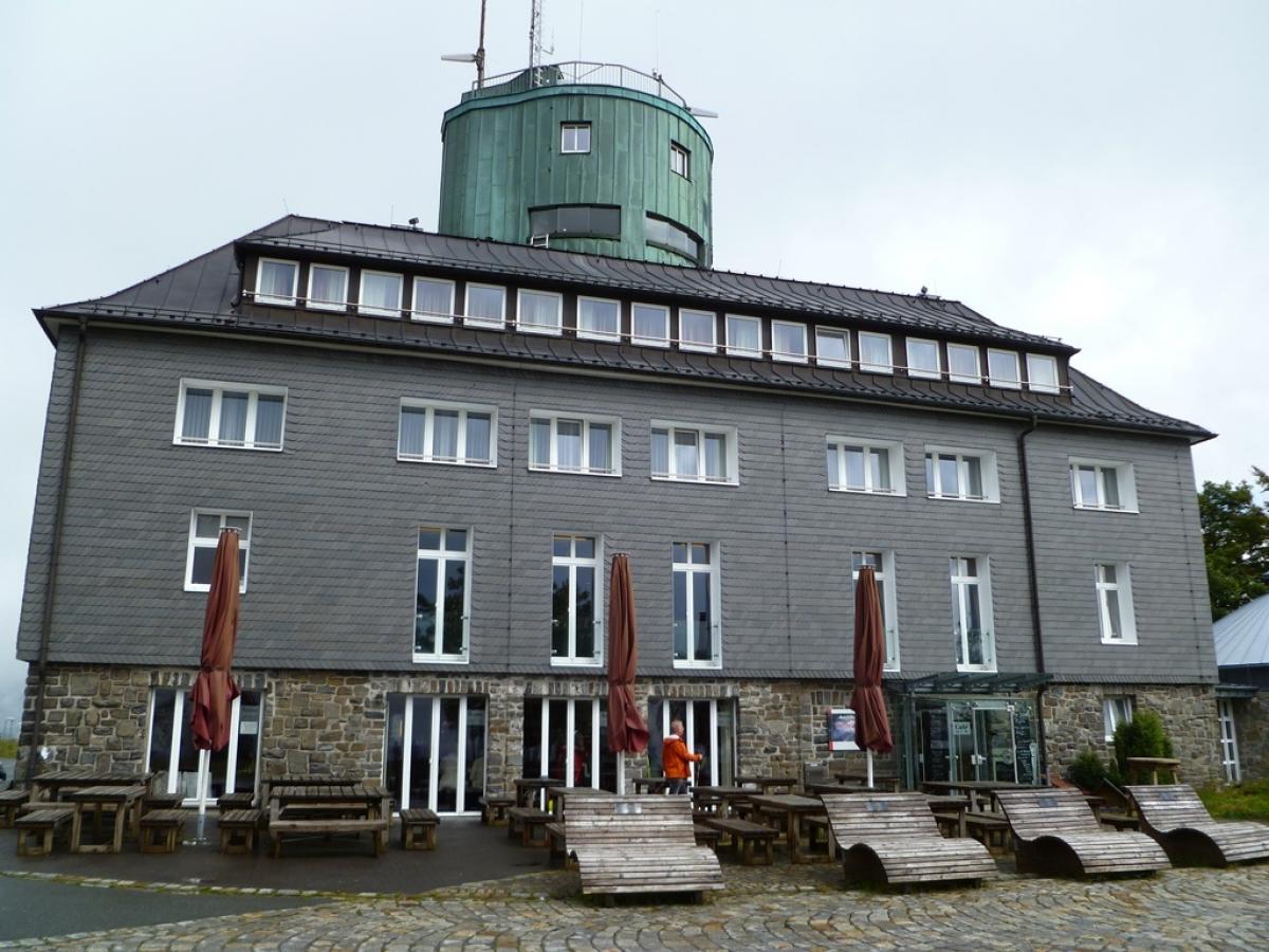
Kahler Asten
The Kahler Asten is with 841,9m height the third highest mountain of the Rothaargebirge. The Astenturm on the summit has a viewing platform and houses a restaurant.
Sources and copyright
GPX track coordinates: © OpenStreetMap contributors. Published under Open Database License (ODbL)GPX-Downloads
You can use the GPX track for navigation and tour planning on your digital device (GPS, smartphone, online tour planner).
| Etappe Stage 6.3 Niedersfeld - Oberkirchen | Download (.gpx) |
| All tracks in Germany | Download (.zip) |
The download and many of the services offered on this page are free of charge. However, I would greatly appreciate a small donation as a token of appreciation for my work! This can be done through Paypal or a supporting membership. Thank you very much!