5.2 Linderhofe - Detmold
35.3km
Distance
-
Walking time
1004m
Total climb
1192m
Total descent
Photos
Stage description
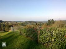
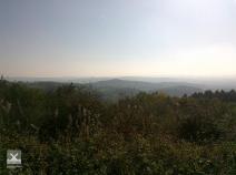
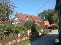
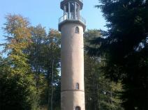
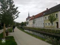
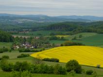
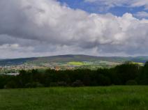
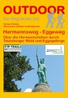
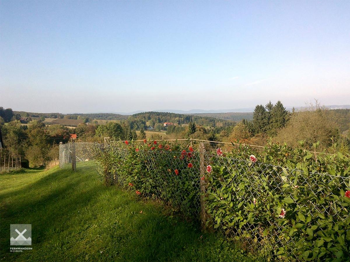
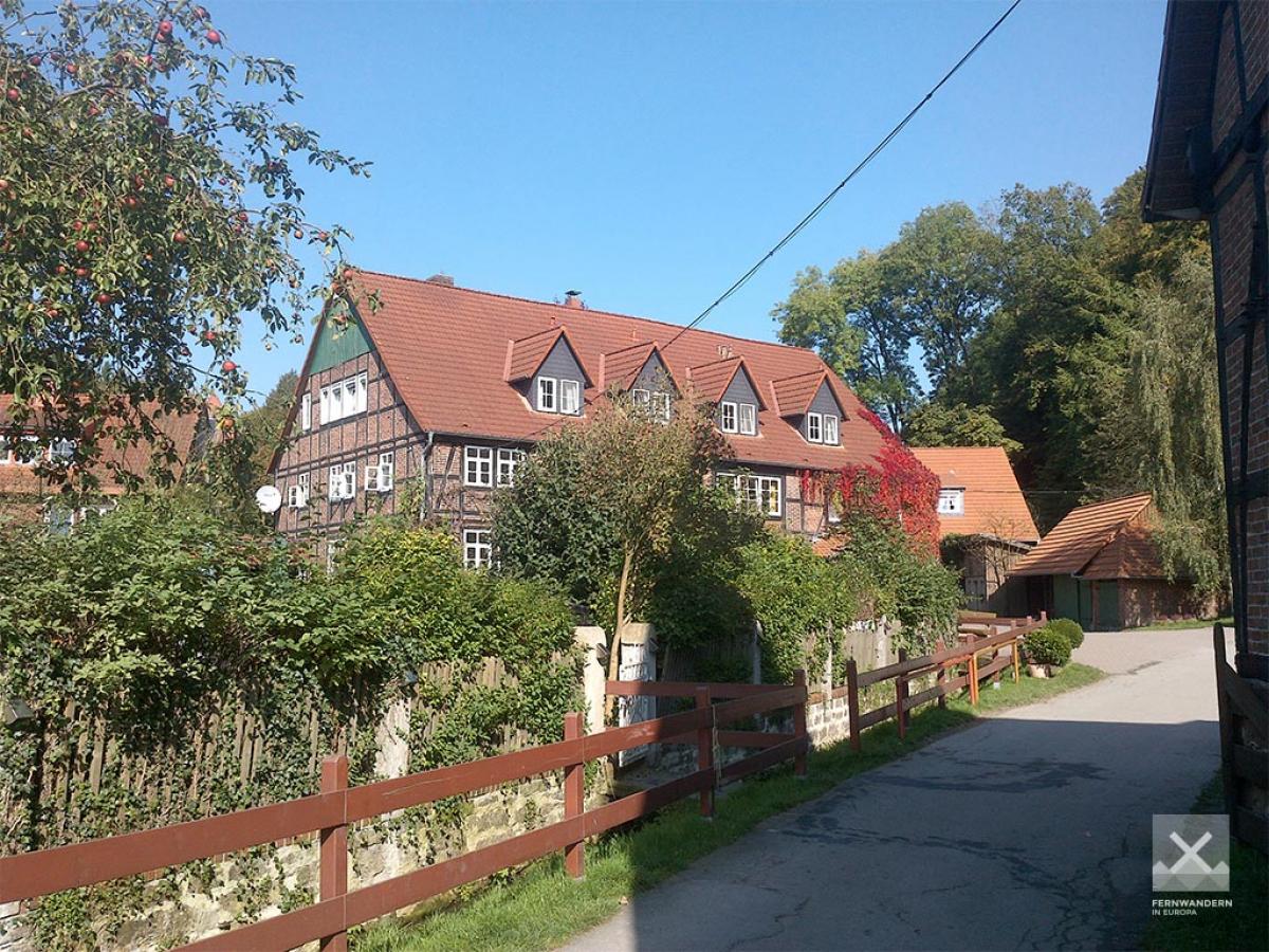
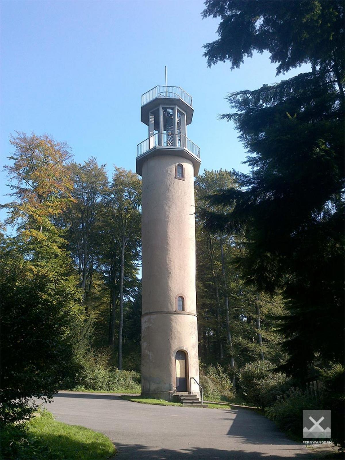
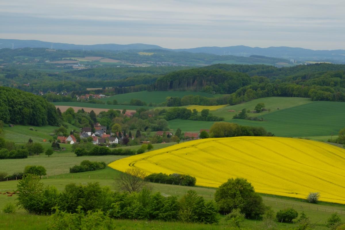
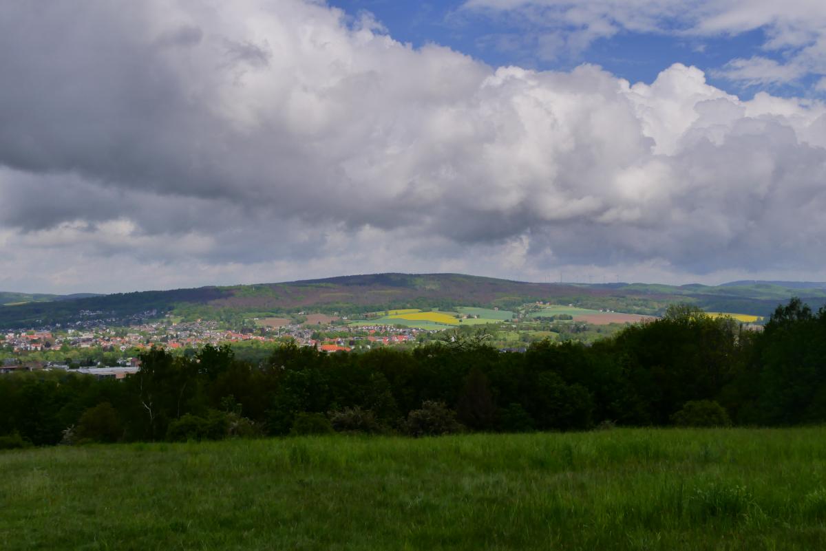
Through the Lipper Bergland, this stage continues to go up and down frequently. The start is at Steinberg (396m), where a rocket station was located during the Cold War. From the foundations you have a great view of the surrounding countryside. The path now leads back downhill to the picturesque Hillentrup. The next two mountains to be climbed are the former rampart Amelungsburg and the local mountain of Lemgo, the Windelstein. Between the two peaks, the Maibolte has cut deeply into the mountainous landscape. Past an old lookout tower you finally reach the city of Lemgo. Here you leave the Hansaweg (X9) and from the ramparts of the old town you follow the Cheruskerweg (X3) to the Hermannsdenkmal near Detmold.
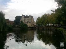
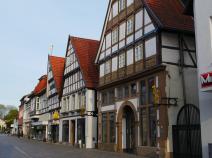
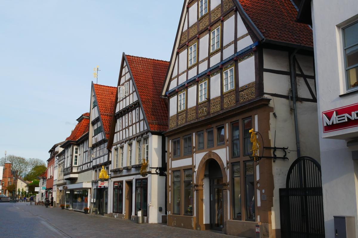
Between Lemgo and Detmold three more mountain ranges are crossed (Biesterberg, Gretberg and Rotenberg) before the E1 leads the hiker somewhat unattractive on a long arterial road to the worth seeing old town of Detmold.
Hiking maps
No maps added yet
Marking
-
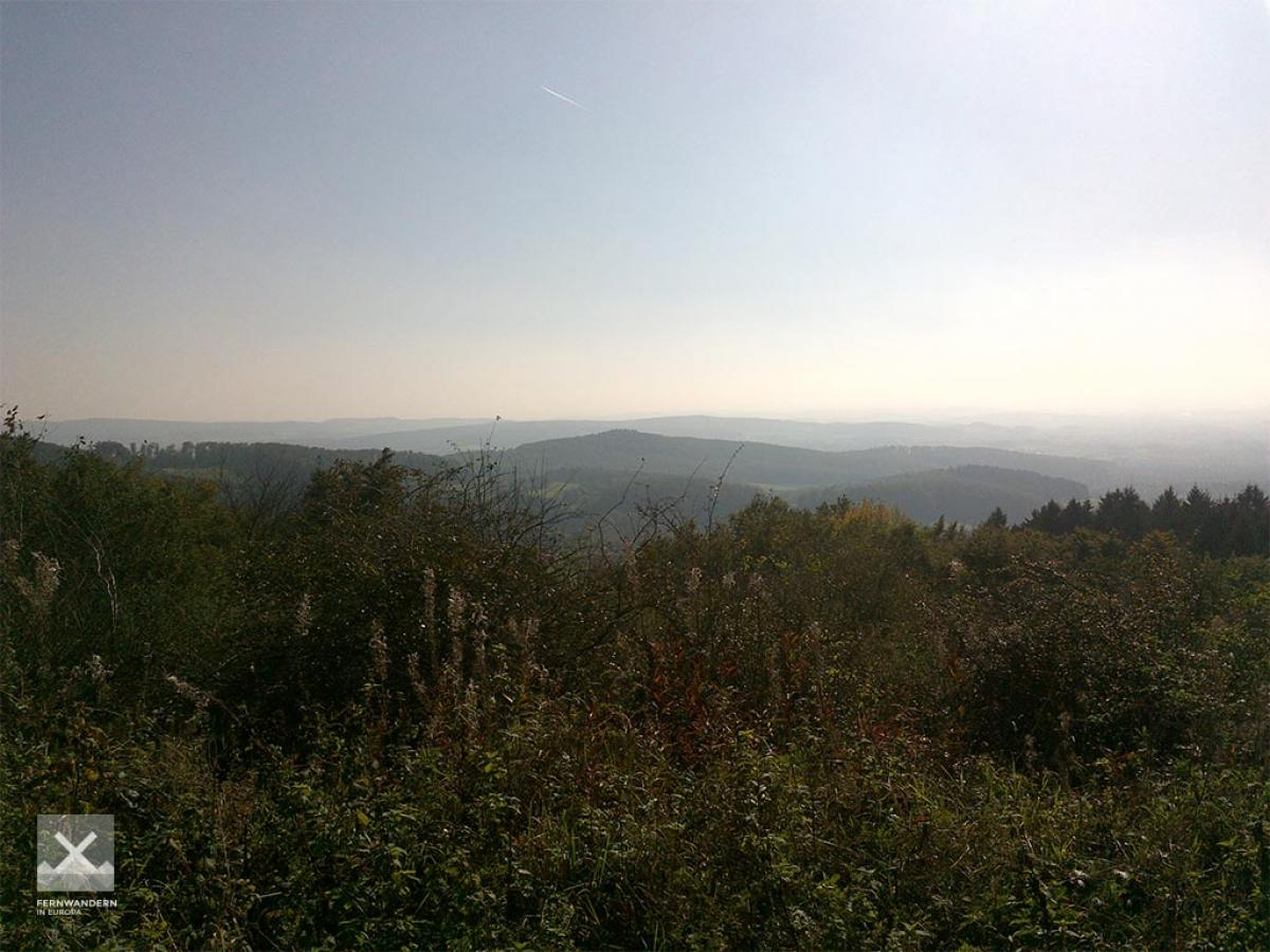
 Hansaweg (X9)
-
 Cheruskerweg (X3)
-
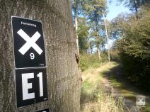
 St. Andrew's cross / E1
The E1 leaves the Hansaweg (X9) in Lemgo and follows the Cheruskerweg (X3).
Accommodation
| Accommodation | Price group | |||
|---|---|---|---|---|
| 5-15 € | 16-30 € | 31-45 € | >45 € | |
|
Hotel Zur Burg Sternberg
Extertal-Linderhofe
Price group: >45 €
|
|
|||
|
Ferienwohnung im Extertal
Extertal
Price group: 15-30 €
|
|
|||
|
Campingpark Extertal
Extertal
Price group: 5-15 €
|
|
|||
|
Bauernhof Pension Waldmühle
Hillentrup/Dörentrup
Price group: €
|
||||
|
Campingpark Lemgo
Lemgo
Price group: 5-15 €
|
|
|||
|
DJH Jugendherberge Detmold
Detmold
Price group: 15-30 €
|
|
|||
Sights
LWL-Open-Air Museum Detmold
The LWL open-air museum is located in the immediate vicinity of the E1 and displays more than 100 historical buildings on an area of 90 hectares. The buildings have been dismantled at their original location and rebuilt as faithfully as possible in the open-air museum. In addition, historical cultural landscapes, plant and animal species are shown and maintained.
There is a lot to see and the area is extensive. Ideal for a rest day or a day trip.
Literature
Sources and copyright
GPX track coordinates: © OpenStreetMap contributors. Published under Open Database License (ODbL)GPX-Downloads
You can use the GPX track for navigation and tour planning on your digital device (GPS, smartphone, online tour planner).
| Etappe Stage 5.2 Linderhofe - Detmold | Download (.gpx) |
| All tracks in Germany | Download (.zip) |
The download and many of the services offered on this page are free of charge. However, I would greatly appreciate a small donation as a token of appreciation for my work! This can be done through Paypal or a supporting membership. Thank you very much!