5.4 Altenbeken - Willebadessen
21.7km
Distance
-
Walking time
460m
Total climb
414m
Total descent
Photos


Stage description
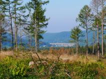
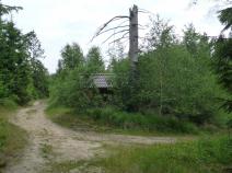
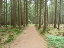
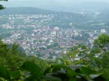
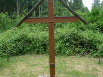
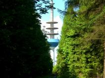
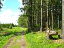
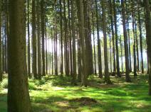
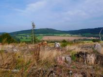
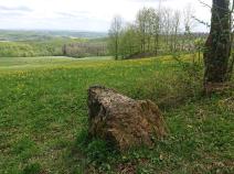
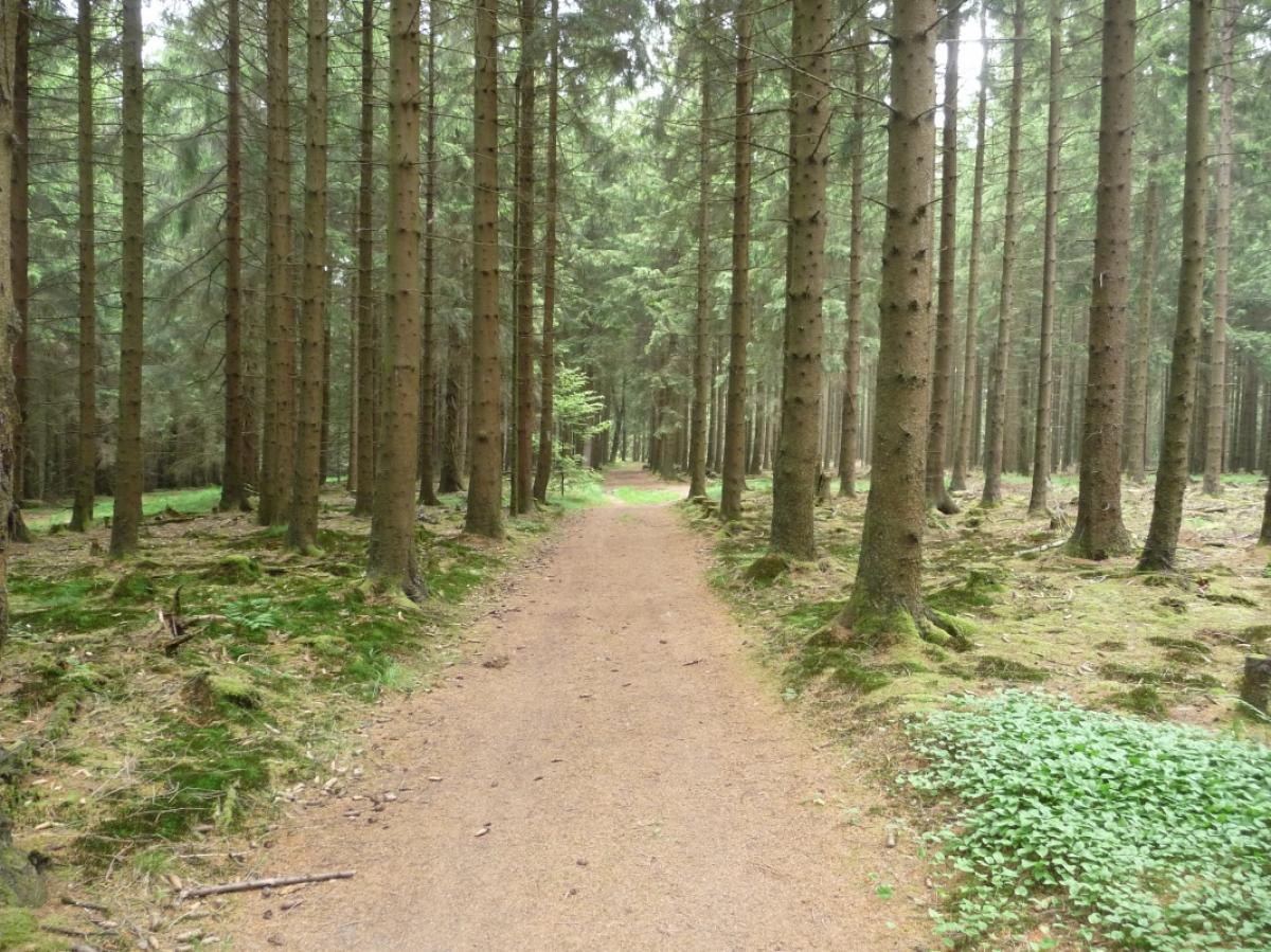
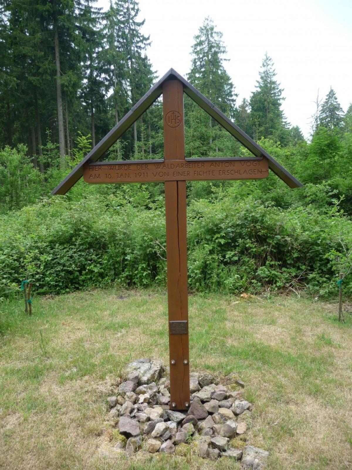
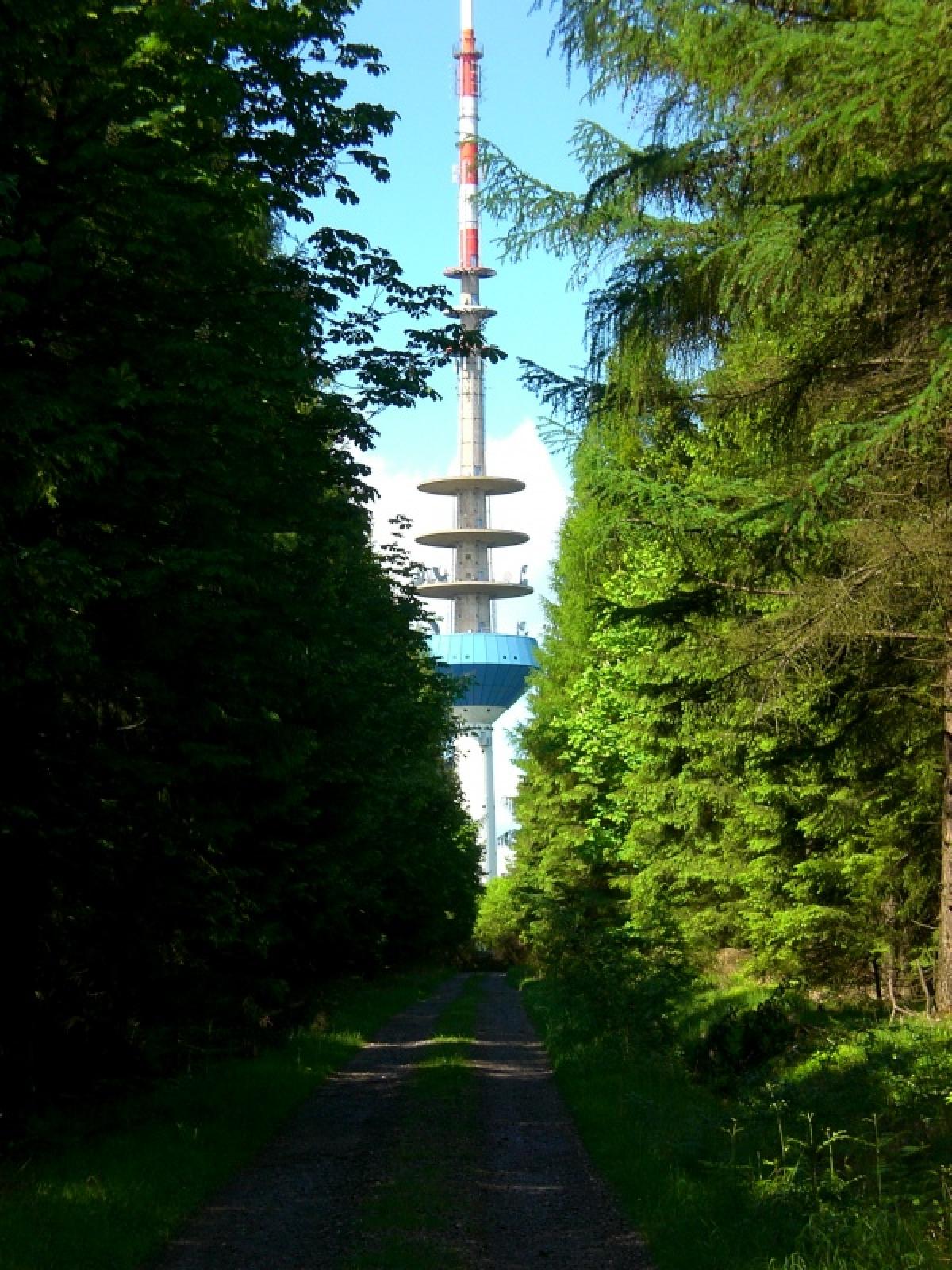
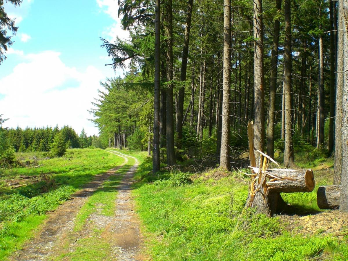
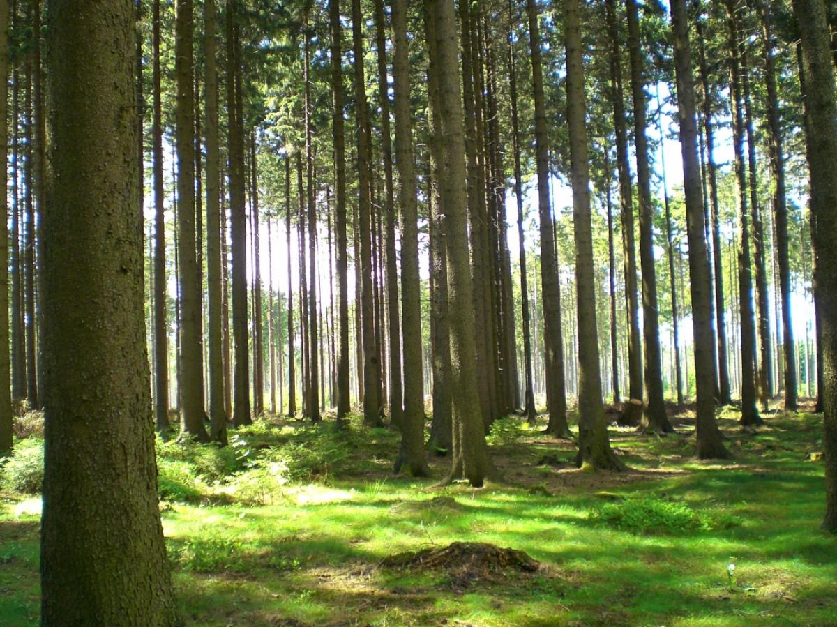
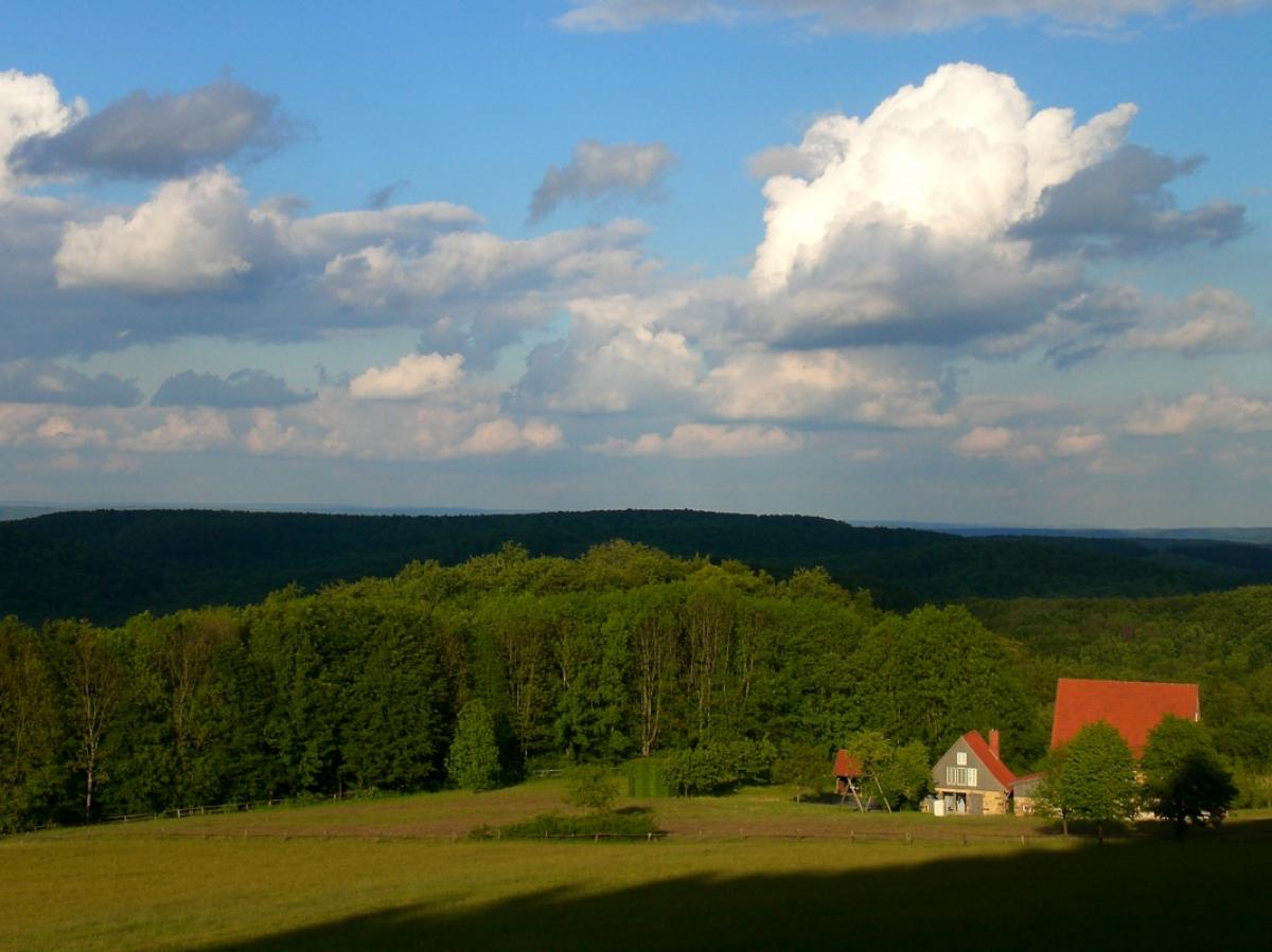
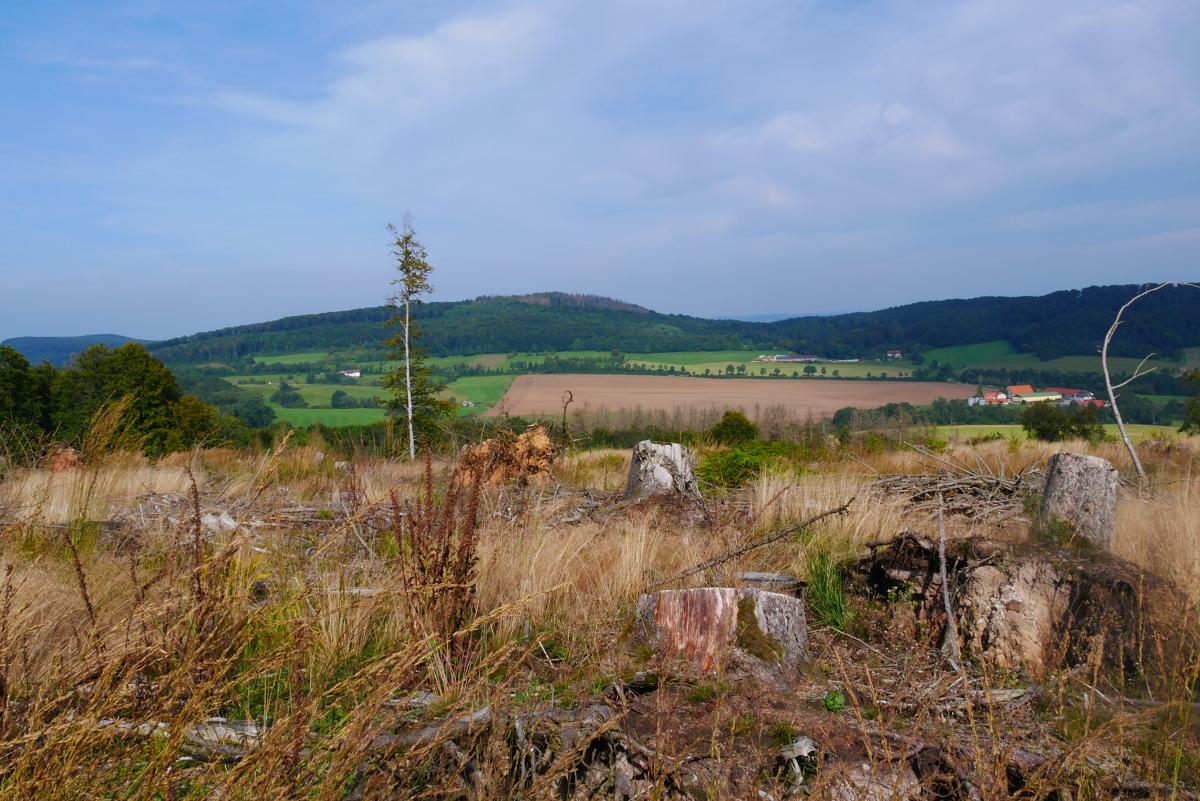
This stage is poor in highlights, but at the same time has no unpleasant passages. The route leads almost exclusively in slight ups and downs over forest paths. Remarkable is the high density of shelters, which can be found on this section in 2 to 3 kilometre intervals. Sometimes there are beautiful views like at the Knochenhütte and especially at the "Schöne Aussicht" refuge above Bad Driburg. While the marking is very good most of the time, some decisive signs are missing in the Herbram forest area. So you have to be very attentive not to miss the branch near the Alte Ziegelei. Highlights on this stage include the ruins of Iburg Castle about 500 metres away from the E1 and an impressive collapse funnel near the Klusenberg Hut.
The following users contributed to this text:
Hiking maps
No maps added yet
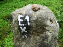
Marking
-
 Eggeweg X1
Accommodation
| Accommodation | Price group | |||
|---|---|---|---|---|
| 5-15 € | 16-30 € | 31-45 € | >45 € | |
|
Pension Mertens
Altenbeken
Price group: €
|
||||
|
Haus Tanneneck
Altenbeken
Price group: €
|
||||
|
DJH Jugendherberge Bad Driburg
Bad Driburg
Price group: 15-30 €
|
|
|||
|
Pension Haus Daheim
Willebadessen
Price group: 30-45 €
|
|
|||
|
Deutsches Haus
Willebadessen
Price group: >45 €
|
|
|||
|
Gasthaus Engemann bei Matt
Lichtenau-Kleinenberg
Price group: €
|
||||
|
Show more accommodation in Bad Driburg
and Willebadessen
(booking.com / Ad)
|
||||
Literature

Sources and copyright
GPX track coordinates: © OpenStreetMap contributors. Published under Open Database License (ODbL)GPX-Downloads
You can use the GPX track for navigation and tour planning on your digital device (GPS, smartphone, online tour planner).
| Etappe Stage 5.4 Altenbeken - Willebadessen | Download (.gpx) |
| All tracks in Germany | Download (.zip) |
The download and many of the services offered on this page are free of charge. However, I would greatly appreciate a small donation as a token of appreciation for my work! This can be done through Paypal or a supporting membership. Thank you very much!