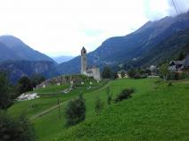
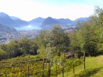
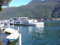
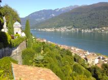
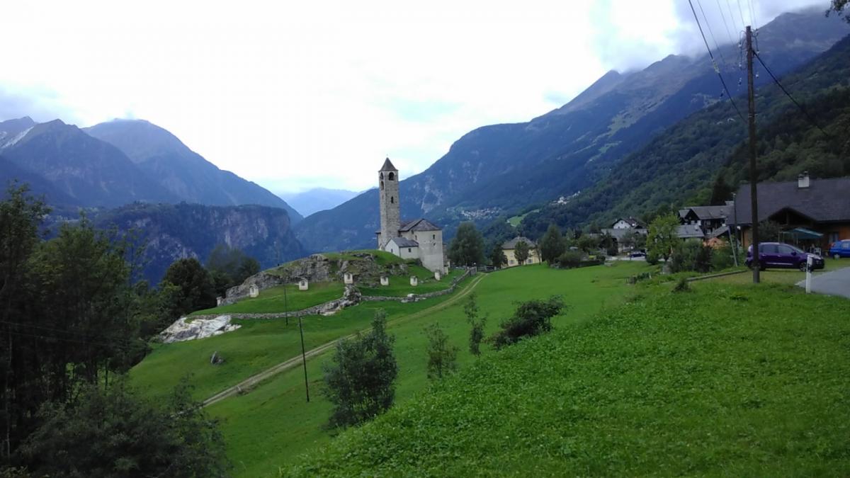
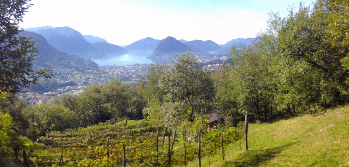
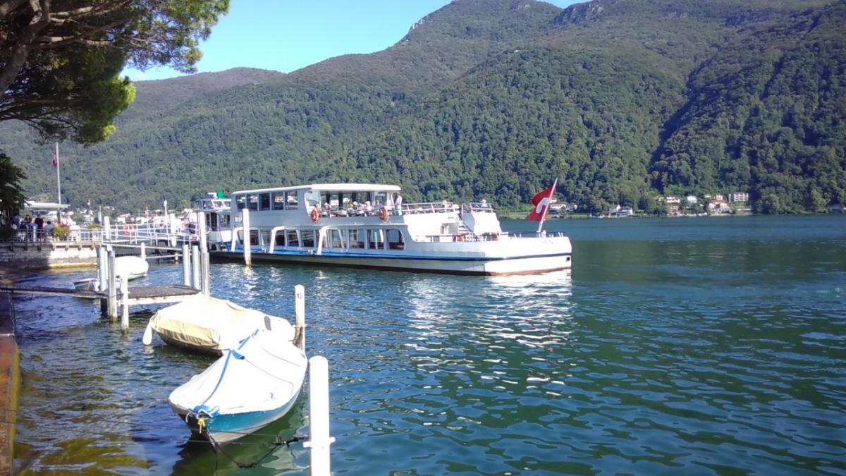
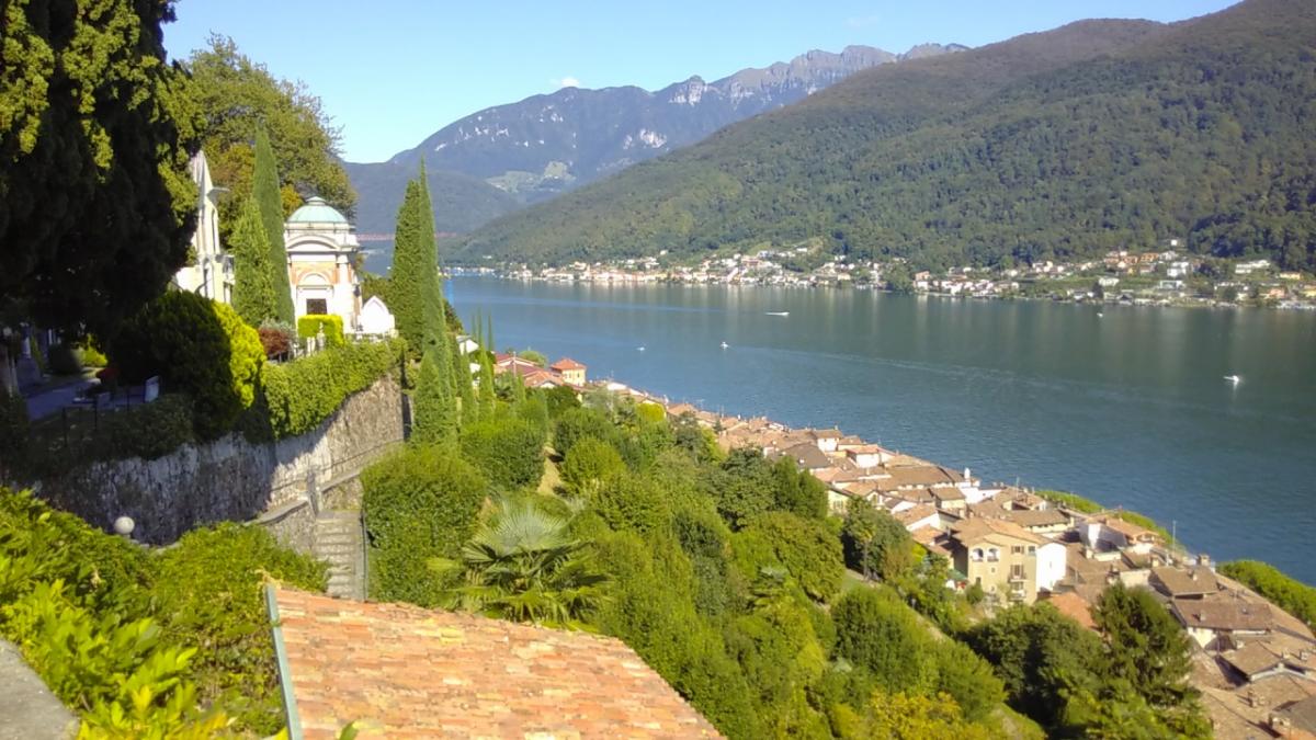
Southern Switzerland
Stage overview
| Stage | Distance | Walking time | Total climb | Total descent |
|---|---|---|---|---|
| 3.01 Airolo - Osco | 17.9km | - | 1098m | 1088m |
| 3.02 Osco - Anzonico | 12.4km | - | 722m | 897m |
| 3.03 Anzonico - Biasca | 19km | - | 847m | 1544m |
| 3.04 Biasca - Bellinzona | 24.8km | - | 91m | 151m |
| 3.05 Bellinzona - Tesserete | 23.3km | 7h30 | 1494m | 1208m |
| 3.06 Tesserete - Lugano - Morcote | 24.8km | - | 1276m | 1524m |
Climate
FIE_TABELLEN_ANZEIGEN
Meteorological station Lugano, Italy (Altitude: 301m)
-
Monthly means of the daily highs and lows in degrees Celsius
Jan Feb Mar Apr May Jun Jul Aug Sep Oct Nov Dec ∅ Max. 6.1 7.8 11.6 15.1 18.9 22.9 25.8 24.7 21.4 16.5 10.6 7.1 ∅ Min. 0.1 1.3 3.9 7.2 11.0 14.2 16.7 16.0 13.3 9.1 4.4 1.0 -
Mean total precipitation in mm
Jan Feb Mar Apr May Jun Jul Aug Sep Oct Nov Dec ∅ mm 76.0 71.0 106.0 152.0 194.0 171.0 133.0 166.0 153.0 140.0 120.0 63.0
Source: DWD Climate Data Center - Climatological monthly means covering period 1961-1990
(Monthly Normals) for stations worldwide