3.05 Bellinzona - Tesserete
23.3km
Distance
-
Walking time
1494m
Total climb
1208m
Total descent
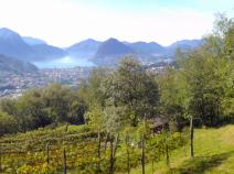
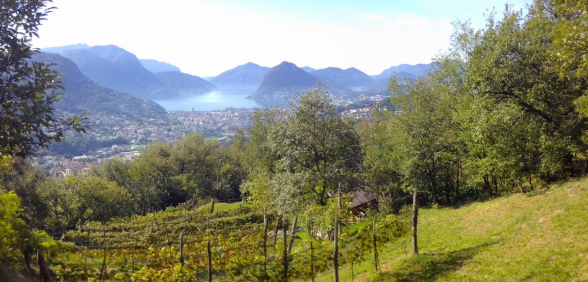
Photos
Stage description
N.B.: We don't have an English description of the stage just yet. We'll give you the German version for now until the English version is ready.
Sehr schön angelegte Naturpfade. Vorsicht mit der Zeitangabe bis Tesserete auf den Schildern - sie beziehen sich auf die Variante der Wanderland Route 7 (ViaGottardo). Der E1 läuft über die Wanderland Route 2 (Trans Swiss Trail), der im Vergleich etwas längere Weg (+ ca. 1 Stunde) und der kurze Aufstieg nach der Alpe Zalto lohnt sich.
Im Herbst liegt teils hüfthohes Laub auf dem Weg - dann etwas mehr Zeit einplanen.
Hiking maps
No maps added yet
Marking
-
 Trans Swiss Trail
Accommodation
| Accommodation | Price group | |||
|---|---|---|---|---|
| 5-25 CHF |
26-50 CHF |
51-75 CHF |
>75 CHF |
|
|
Jugendherberge Bellinzona
Bellinzona (TI)
Price group: CHF 25-50
|
|
|||
|
Agriturismo Alpe Zalto
Gola di Lago
Price group: CHF 25-50
|
|
|||
|
Bed & Breakfast - Tesserete
Tesserete
Price group: CHF 25-50
|
|
|||
|
Show more accommodation in Bellinzona
, Giubiasco
, Camorino
, Isone
and Tesserete
(booking.com / Ad)
|
||||
Links
schweizmobil.ch - Wanderland Route 2 / Trans Swiss Trail
Information about Wanderland-Route 2 (Trans Swiss Trail)
https://www.schweizmobil.ch/en/hiking-in-switzerland/routes/route-02.html
Literature
Sources and copyright
GPX track coordinates: © OpenStreetMap contributors. Published under Open Database License (ODbL)GPX-Downloads
You can use the GPX track for navigation and tour planning on your digital device (GPS, smartphone, online tour planner).
| Etappe Stage 3.05 Bellinzona - Tesserete | Download (.gpx) |
| All tracks in Switzerland | Download (.zip) |
The download and many of the services offered on this page are free of charge. However, I would greatly appreciate a small donation as a token of appreciation for my work! This can be done through Paypal or a supporting membership. Thank you very much!