Stage
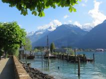
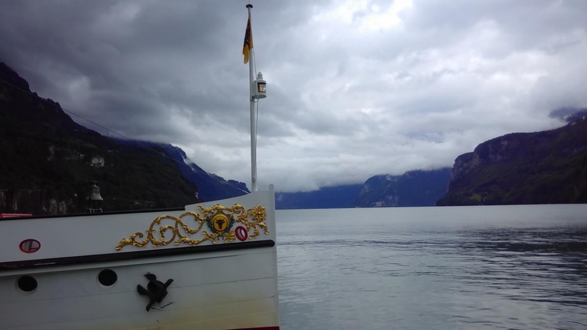
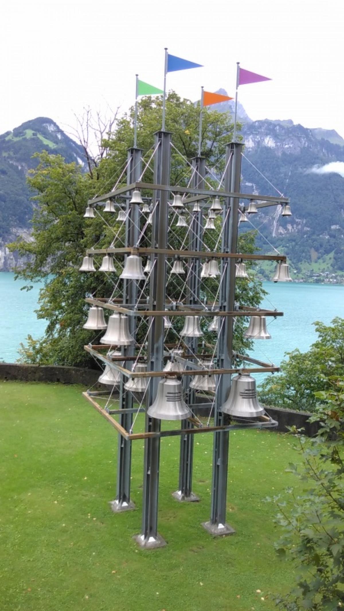
2.03 Brunnen - Flüelen
15.2km
Distance
-
Walking time
913m
Total climb
915m
Total descent
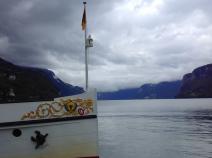
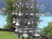
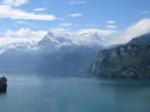
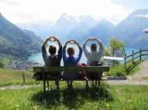
Photos


Stage description
No description available yet.
Hiking maps
No maps added yet
Marking
-
 Hiking trail (Switzerland)
Weg der Schweiz (Swiss Path)
Accommodation
| Accommodation | Price group | |||
|---|---|---|---|---|
| 5-25 CHF |
26-50 CHF |
51-75 CHF |
>75 CHF |
|
|
Chlosterhof
Ingenbohl-Brunnen
Price group: CHF 25-50
|
|
|||
|
Camping Hopfreben
Brunnen
Price group: CHF 5-25
|
|
|||
|
Camping Urmiberg
Brunnen
Price group: CHF 5-25
|
|
|||
|
Ferienhof Rüti
Morschach
Price group: 5-15,15-30
|
|
|
||
|
Windsurfing Urnersee
Flüelen
Price group: 15-30
|
|
|||
Links
Weg der Schweiz - Flüelen - Brunnen
Stage details at wanderland.ch
Sources and copyright
GPX track coordinates: © OpenStreetMap contributors. Published under Open Database License (ODbL)GPX-Downloads
You can use the GPX track for navigation and tour planning on your digital device (GPS, smartphone, online tour planner).
| Etappe Stage 2.03 Brunnen - Flüelen | Download (.gpx) |
| All tracks in Switzerland | Download (.zip) |
The download and many of the services offered on this page are free of charge. However, I would greatly appreciate a small donation as a token of appreciation for my work! This can be done through Paypal or a supporting membership. Thank you very much!