1.03 Fischingen - Rapperswil
32.8km
Distance
-
Walking time
1225m
Total climb
1442m
Total descent
Photos
Stage description
N.B.: We don't have an English description of the stage just yet. We'll give you the German version for now until the English version is ready.
Auf dem Hörnli gibt es ein Gastronomisches Angebot welches Mittwoch und Donnerstag geschlossen hat. Wasserstellen / Brunnen gibt es jeweils vor dem Aufstieg bez. nach dem Abstieg.
The following users contributed to this text:
Hiking maps
No maps added yet
Marking
-
 Via Jacobi
Accommodation
| Accommodation | Price group | |||
|---|---|---|---|---|
| 5-25 CHF |
26-50 CHF |
51-75 CHF |
>75 CHF |
|
|
Gasthaus Sternen
Fischingen
Price group: CHF 25-50
|
|
|||
|
Hotel Kloster Fischingen
Fischingen
Price group:
|
||||
|
Campingplatz Strandbad Stampf
Jona
Price group: CHF 5-25
|
|
|||
|
Jugendherberge Rapperswil-Jona
Jona (SG)
Price group: CHF 25-50
|
|
|||
|
Show more accommodation in Fischingen
, Gibswil
, Wald
and Rapperswil-Jona
(booking.com / Ad)
|
||||
Sights
-
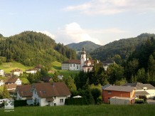
Kloster Fischingen (Fischingen Abbey)
The Benedictine Abbey of Fischingen was founded in 1138 and is located directly on the Schwabenweg (swabian way), the pilgrimage route from Constance to Rapperswil.
-
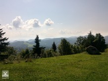
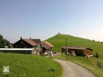
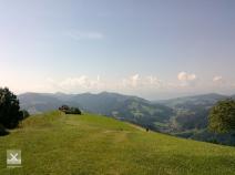
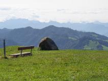
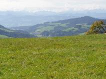
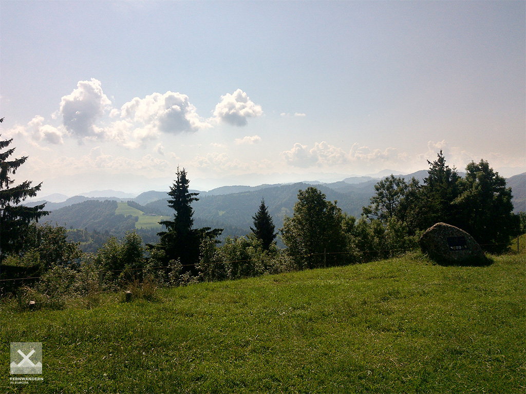
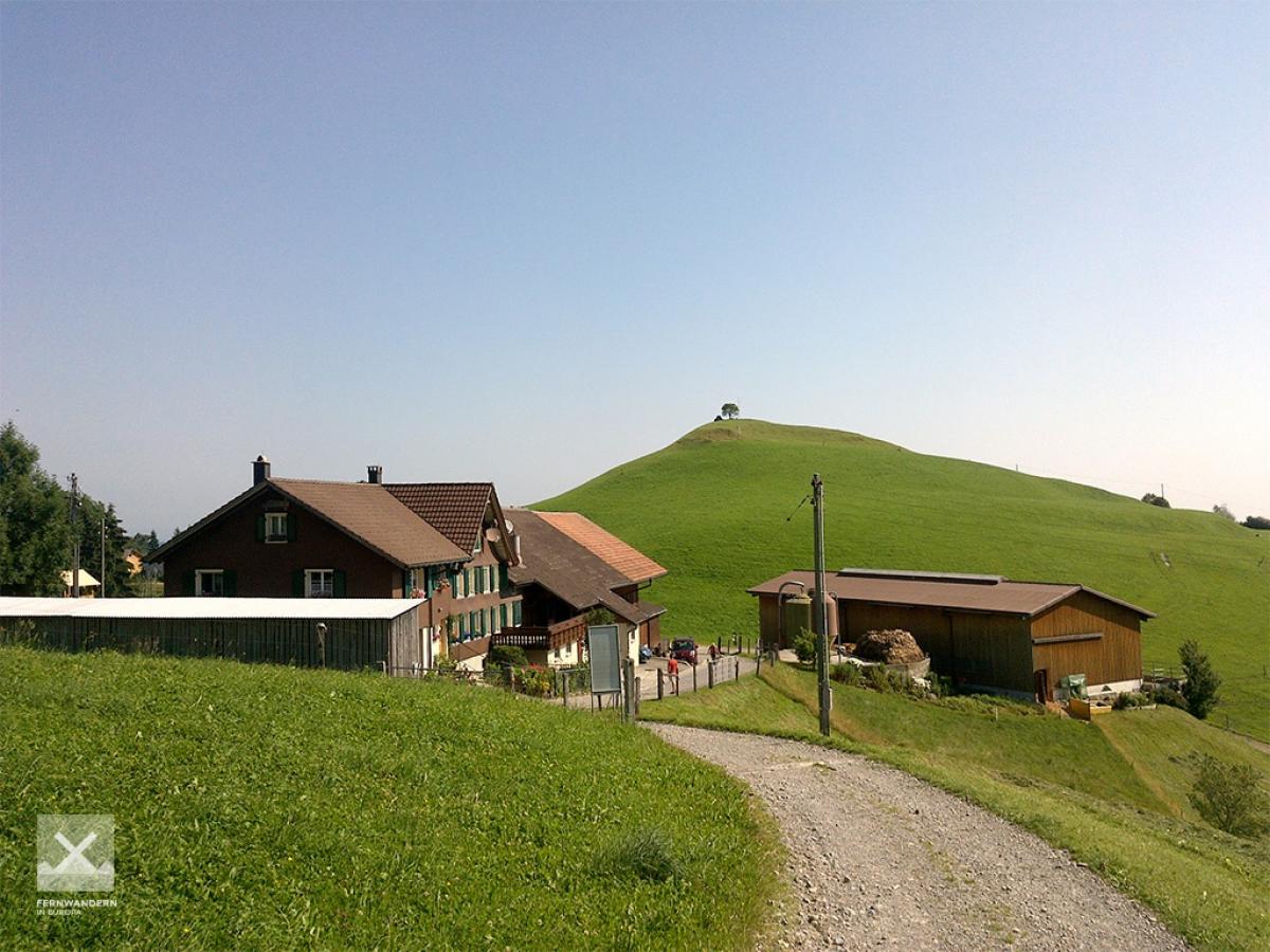
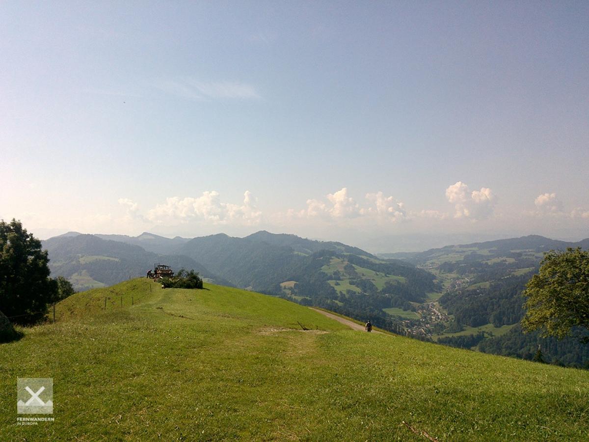
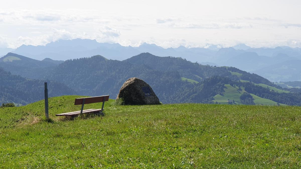
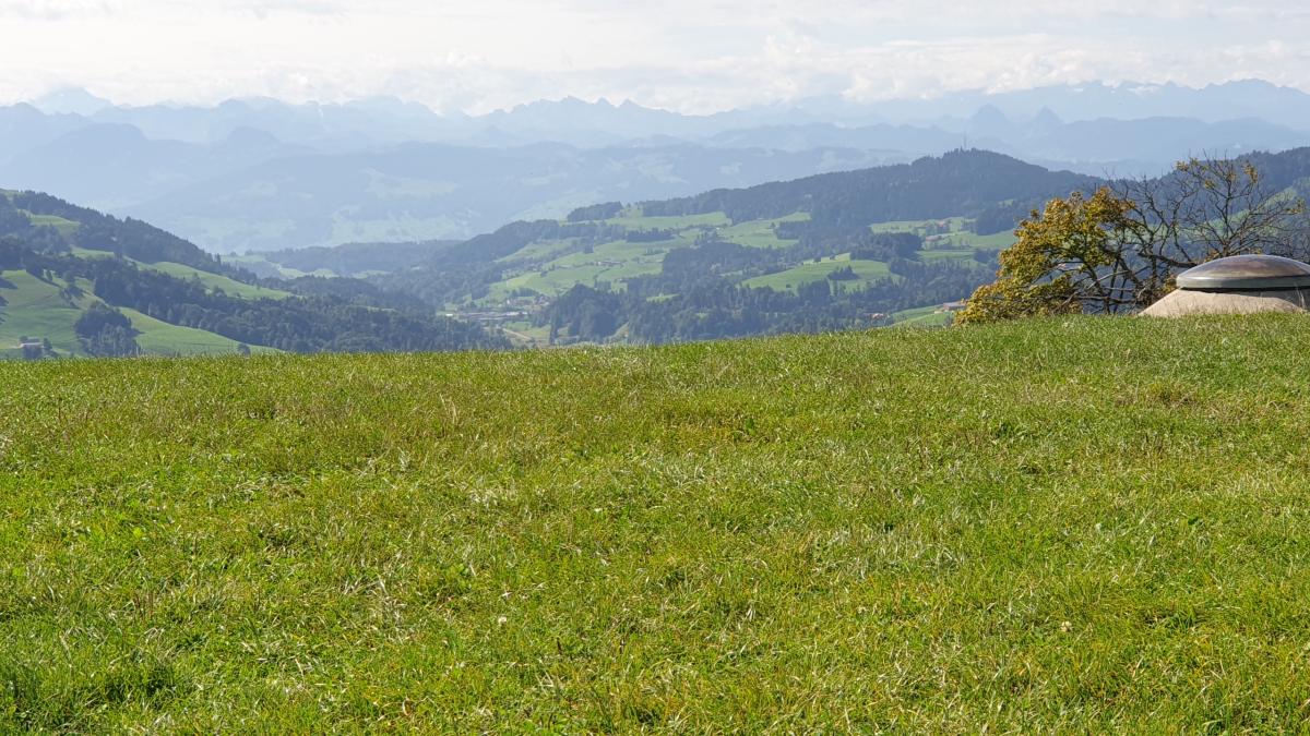
Hörnli
The Schwabenweg (Swabian way) leads over the 1,133m high Hörnli. From the summit you have a wonderful view, the Hörnli mountain inn, located a few metres below, invites you to linger.

Links
Stage details at jakobsweg.ch
1st part to Steg
https://www.jakobsweg.ch/en/eu/ch/routes/constance-einsiedeln-en/fischingen-steg-en/
Stage details at jakobsweg.ch
2nd part from Steg to Rapperswil
https://www.jakobsweg.ch/en/eu/ch/routes/constance-einsiedeln-en/steg-rapperswil-en/
ViaJacobi: Fischingen – Rapperswil (SG)
Stage description at schweizmobil.ch
https://www.schweizmobil.ch/en/hiking-in-switzerland/routes/etappe-0865.html
Literature
Sources and copyright
GPX track coordinates: © OpenStreetMap contributors. Published under Open Database License (ODbL)GPX-Downloads
You can use the GPX track for navigation and tour planning on your digital device (GPS, smartphone, online tour planner).
| Etappe Stage 1.03 Fischingen - Rapperswil | Download (.gpx) |
| All tracks in Switzerland | Download (.zip) |
The download and many of the services offered on this page are free of charge. However, I would greatly appreciate a small donation as a token of appreciation for my work! This can be done through Paypal or a supporting membership. Thank you very much!