Stage
2.6 Andermatt - Airolo
19.9km
Distance
-
Walking time
889m
Total climb
1176m
Total descent
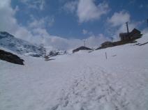
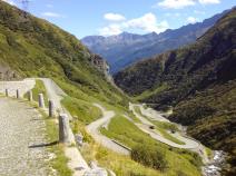
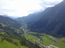
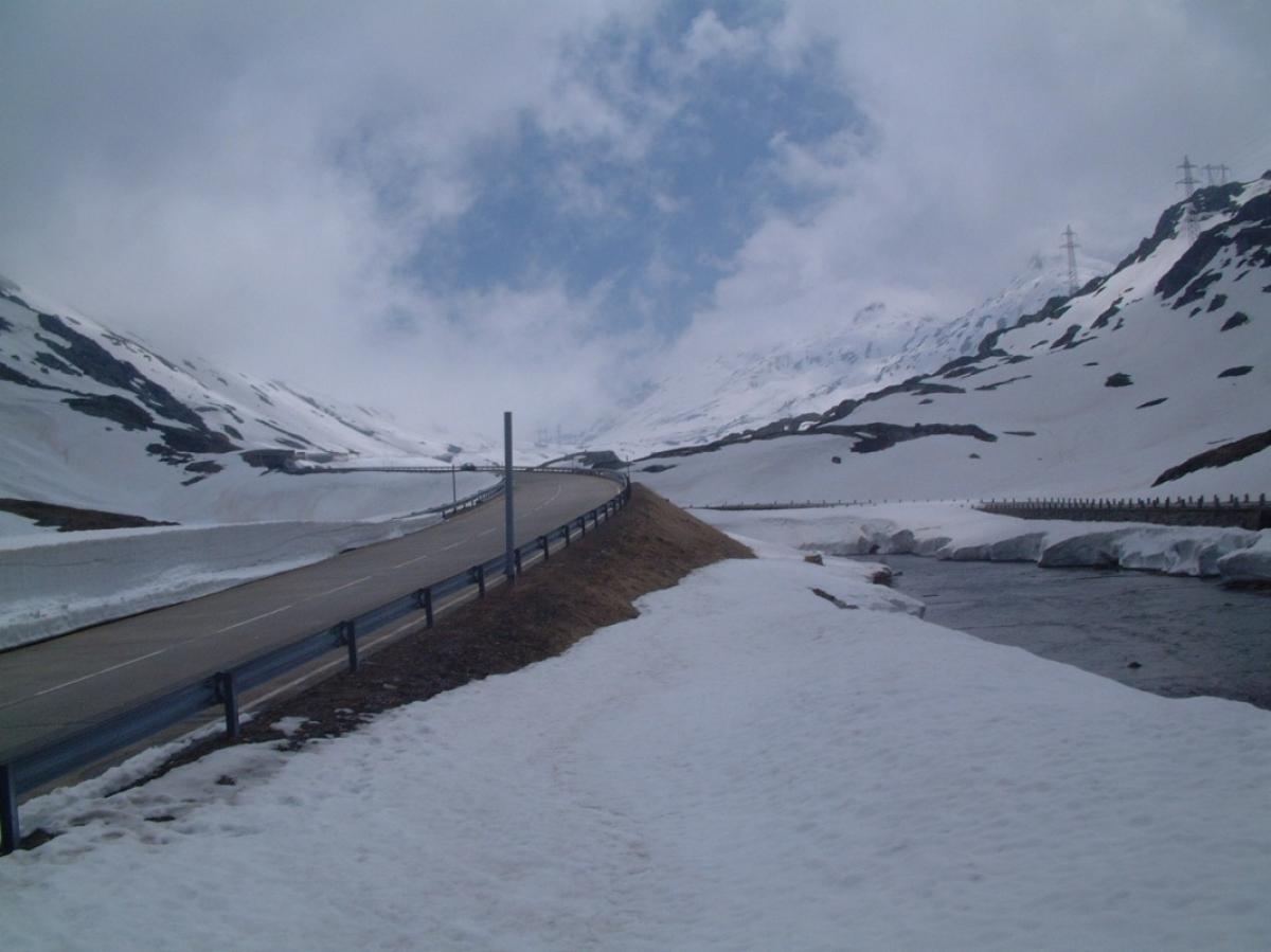
Photos
Stage description
No description available yet.
Hiking maps
No maps added yet
Marking
-
 Hiking trail (Switzerland)
-
 Mountain trail (Switzerland)
-
 Trans Swiss Trail
Accommodation
| Accommodation | Price group | |||
|---|---|---|---|---|
| 5-25 CHF |
26-50 CHF |
51-75 CHF |
>75 CHF |
|
|
Jugendherberge Hospenthal
Hospental (UR)
Price group: CHF 25-50
|
|
|||
|
Gasthaus Pension Zum Turm
Hospental
Price group: CHF 25-50
|
|
|||
|
Albergo San Gottardo
Airolo
Price group: CHF 25-50
|
|
|||
|
Alloggio Girasole
Airolo
Price group: CHF 25-50
|
|
|||
Links
schweizmobil.ch - Wanderland Route 2 / Trans Swiss Trail
Information about Wanderland-Route 2 (Trans Swiss Trail)
https://www.schweizmobil.ch/en/hiking-in-switzerland/routes/route-02.html
Literature
Sources and copyright
GPX track coordinates: © OpenStreetMap contributors. Published under Open Database License (ODbL)GPX-Downloads
You can use the GPX track for navigation and tour planning on your digital device (GPS, smartphone, online tour planner).
| Etappe Stage 2.6 Andermatt - Airolo | Download (.gpx) |
| All tracks in Switzerland | Download (.zip) |
The download and many of the services offered on this page are free of charge. However, I would greatly appreciate a small donation as a token of appreciation for my work! This can be done through Paypal or a supporting membership. Thank you very much!