9.6 Mühlhausen - Gochsheim
25.5km
Distance
-
Walking time
493m
Total climb
466m
Total descent
Photos

Stage description
N.B.: We don't have an English description of the stage just yet. We'll give you the German version for now until the English version is ready.
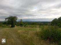
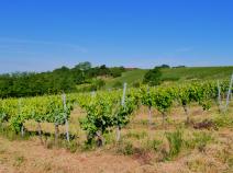
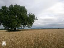
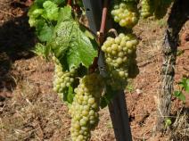
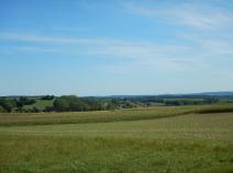
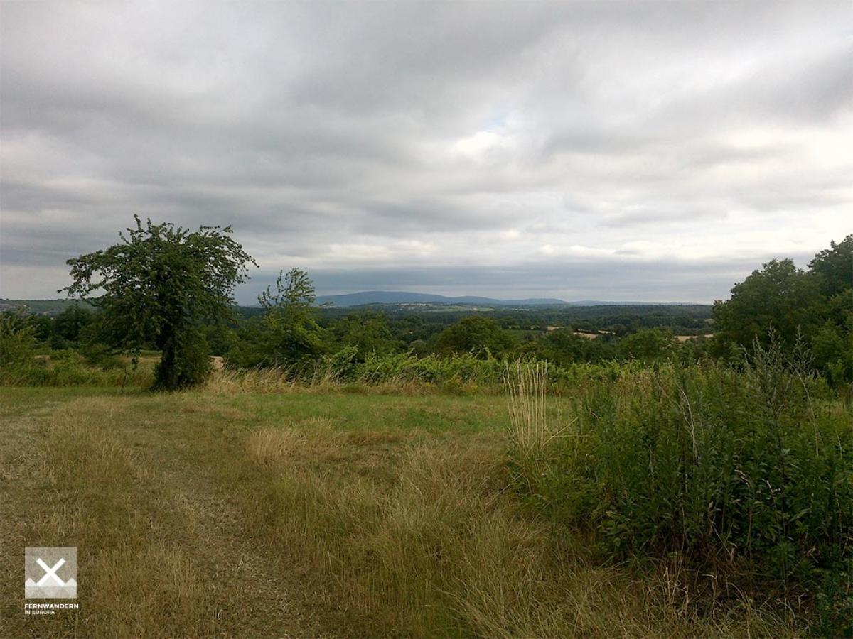
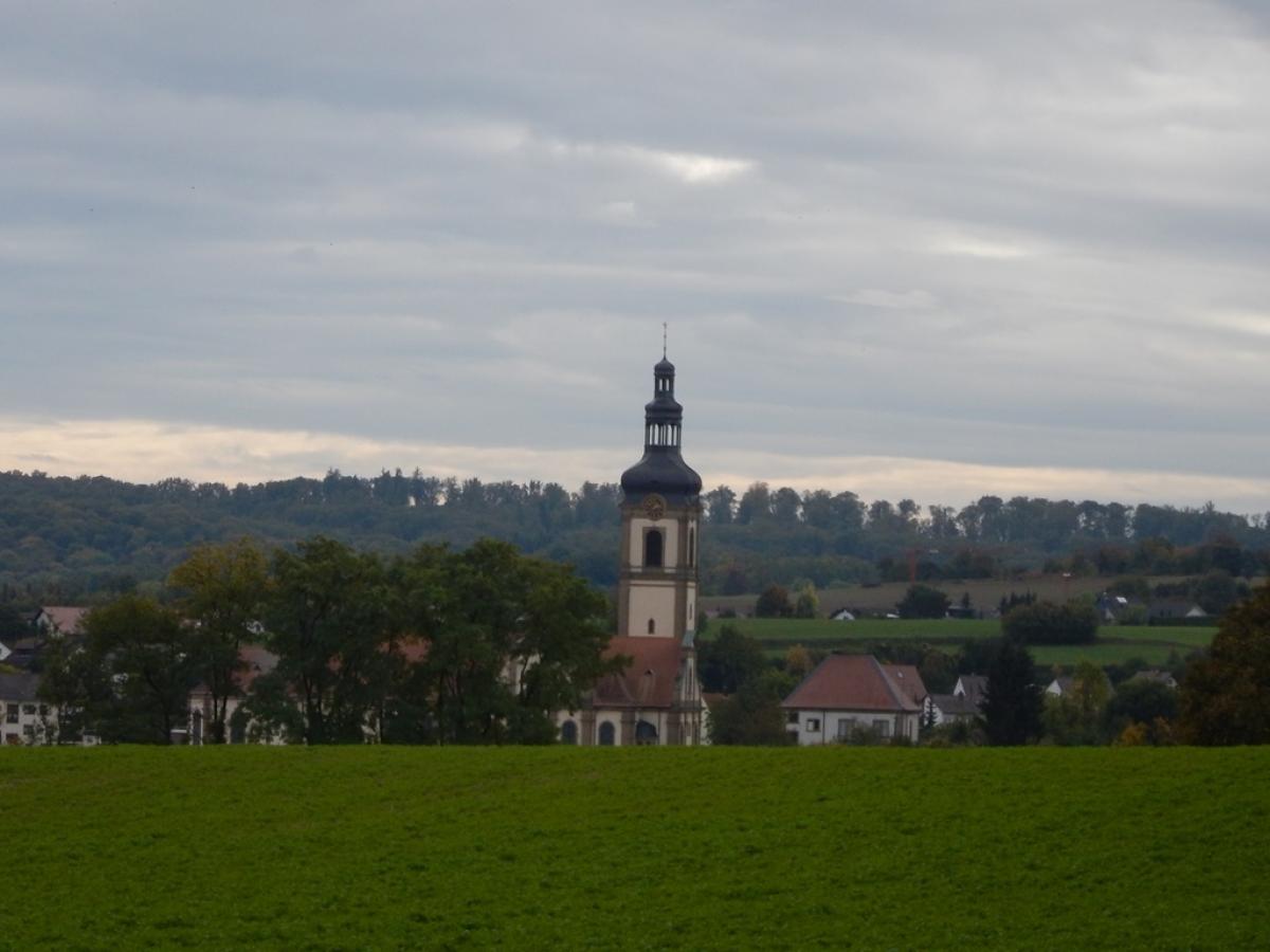
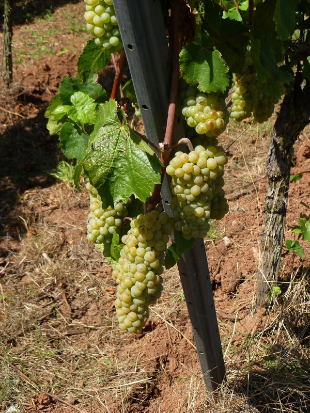
Von Mühlhausen geht es durch unspektakulären Wald nach Östringen. Dann auf eine Anhöhe mit Weinanbau und durch Felder und Waldstücke im hügeligen Kraichgau, in dem man sich fast an die Toskana erinnert fühlt. Am Siegfriedsbrunnen vorbei und durch Hohlwege gelangt man nach Odenheim. Ähnlich setzt sich die Strecke nach Münzesheim fort. Man kann der Markierung folgen oder mit Hilfe einer Karte Asphaltabschnitte vermeiden. Von Münzesheim geht es entlang der Bahnstrecke nach Gochsheim.
The following users contributed to this text:
Hiking maps
No maps added yet
Marking
-
 St. Andrew's cross (Green)
Accommodation
| Accommodation | Price group | |||
|---|---|---|---|---|
| 5-15 € | 16-30 € | 31-45 € | >45 € | |
|
Hotel Leo Muehlhausen
Muelhausen
Price group: €
|
||||
|
Kraichgaustube
Mühlhausen
Price group: 30-45 €
|
|
|||
|
Landgasthof Pension "Zur Krone"
Kraichtal-Gochsheim
Price group: €
|
||||
|
Scharfrichterhaus Gochsheim - Apartment
Kraichtal - Gochsheim
Price group: €
|
||||
|
Show more accommodation in Mühlhausen
, Östringen, Odenheim
and Gochsheim
(booking.com / Ad)
|
||||
Sources and copyright
GPX track coordinates: © OpenStreetMap contributors. Published under Open Database License (ODbL)GPX-Downloads
You can use the GPX track for navigation and tour planning on your digital device (GPS, smartphone, online tour planner).
| Etappe Stage 9.6 Mühlhausen - Gochsheim | Download (.gpx) |
| All tracks in Germany | Download (.zip) |
The download and many of the services offered on this page are free of charge. However, I would greatly appreciate a small donation as a token of appreciation for my work! This can be done through Paypal or a supporting membership. Thank you very much!