Stage
8.04 Frankfurt (Hohemark) - Frankfurt (Sachsenhausen)
26.5km
Distance
-
Walking time
442m
Total climb
644m
Total descent
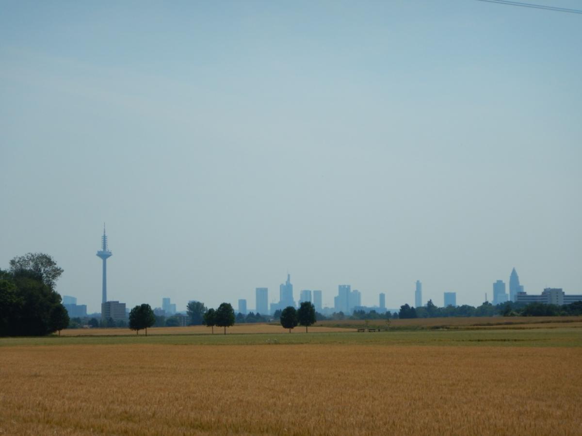
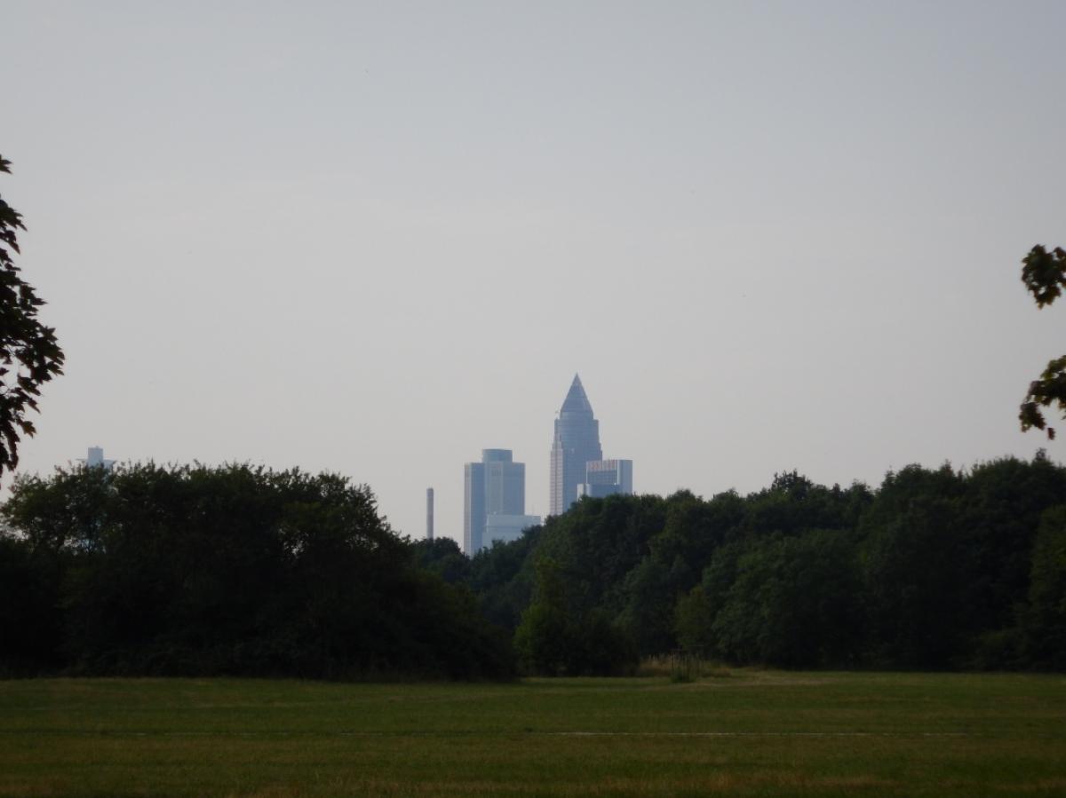
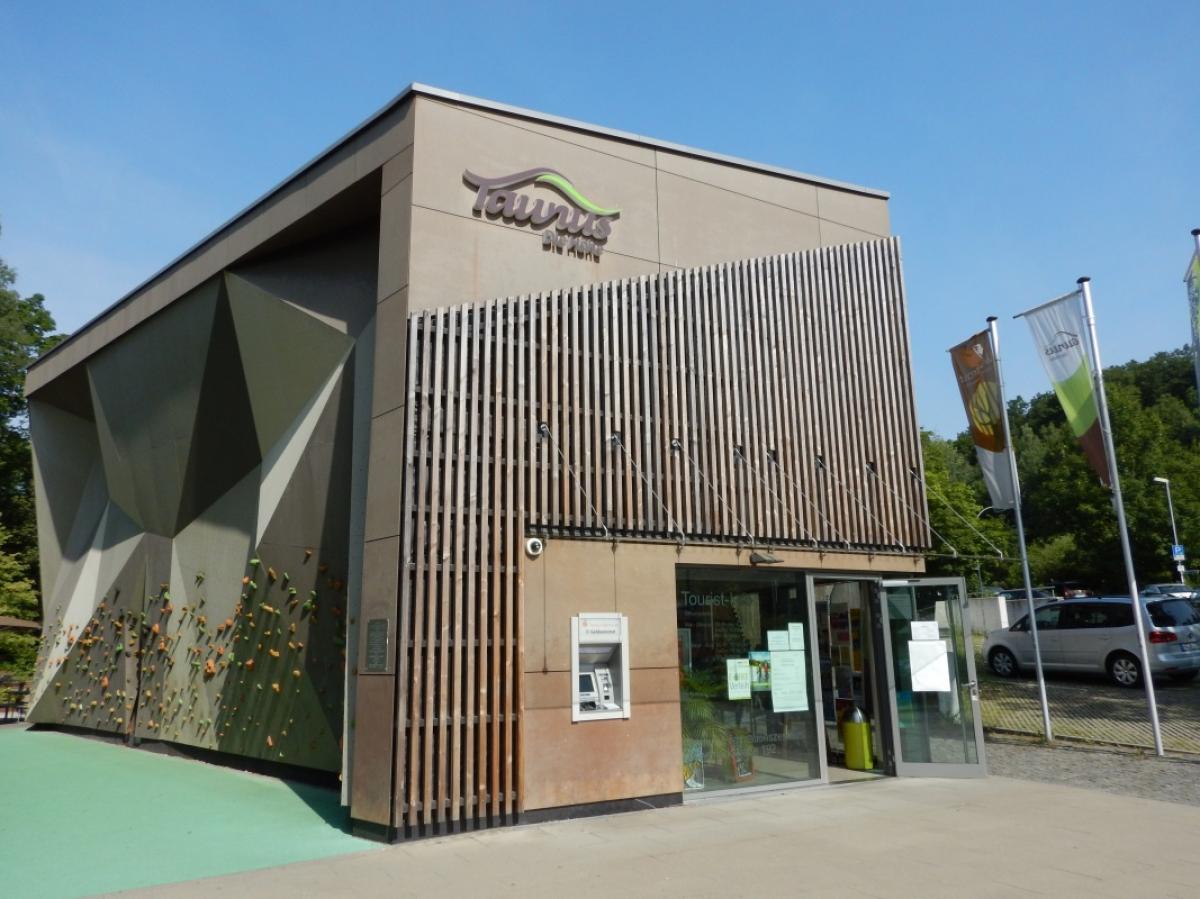
Photos


Stage description
From Schiffertstraße Marthahaus, the E1 is not marked as an St. Andrew's cross. Follow the markings M for Mainwanderweg or L for Lutherweg to Wendelsplatz, where the next stage of the E1 begins and is marked with a green St. Andrew's cross.
Last text update:
15.02.2023
Hiking maps
No maps added yet
Marking
-
 St. Andrew's cross / E1
Accommodation
| Accommodation | Price group | |||
|---|---|---|---|---|
| 5-15 € | 16-30 € | 31-45 € | >45 € | |
|
Jugendherberge Frankfurt
Frankfurt/Main
Price group: 15-30 €
|
|
|||
|
Show more accommodation in Oberursel
, Steinbach im Taunus
and Frankfurt am Main
(booking.com / Ad)
|
||||
Links
Rhein-Main-Verkehrsverbund
Public transport
Sources and copyright
GPX track coordinates: © OpenStreetMap contributors. Published under Open Database License (ODbL)GPX-Downloads
You can use the GPX track for navigation and tour planning on your digital device (GPS, smartphone, online tour planner).
| Etappe Stage 8.04 Frankfurt (Hohemark) - Frankfurt (Sachsenhausen) | Download (.gpx) |
| All tracks in Germany | Download (.zip) |
The download and many of the services offered on this page are free of charge. However, I would greatly appreciate a small donation as a token of appreciation for my work! This can be done through Paypal or a supporting membership. Thank you very much!