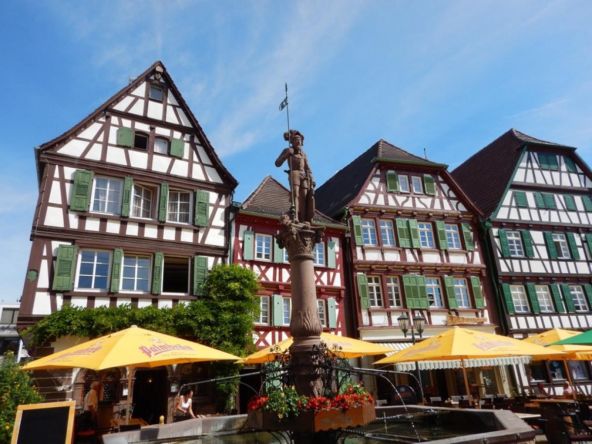
9.7 Gochsheim - Bretten
11.9km
Distance
-
Walking time
252m
Total climb
239m
Total descent
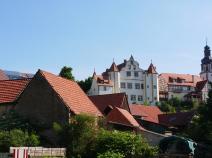
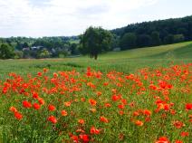
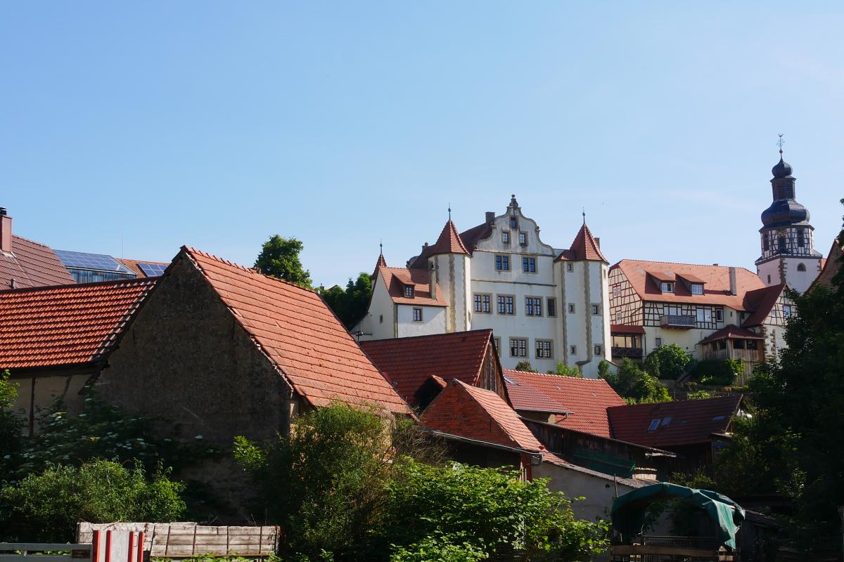
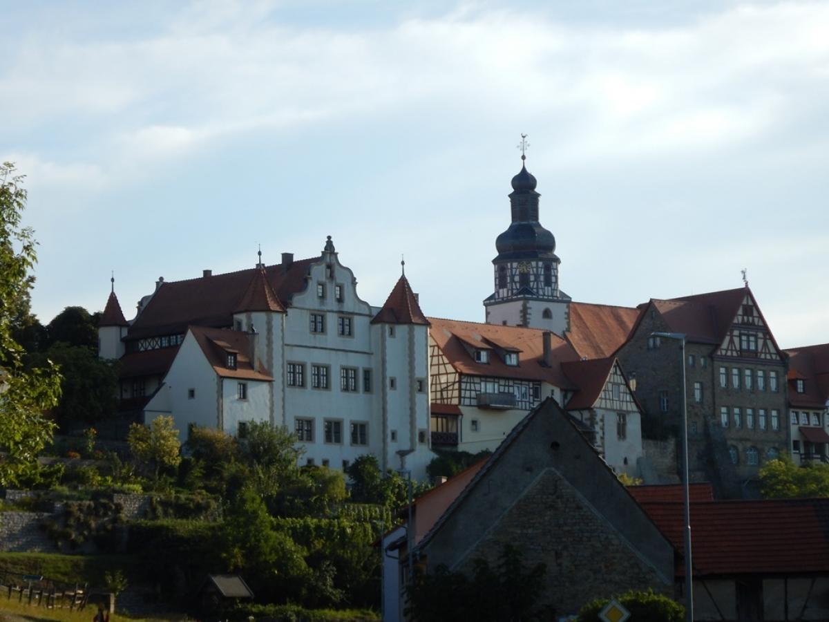
Photos


Stage description
N.B.: We don't have an English description of the stage just yet. We'll give you the German version for now until the English version is ready.
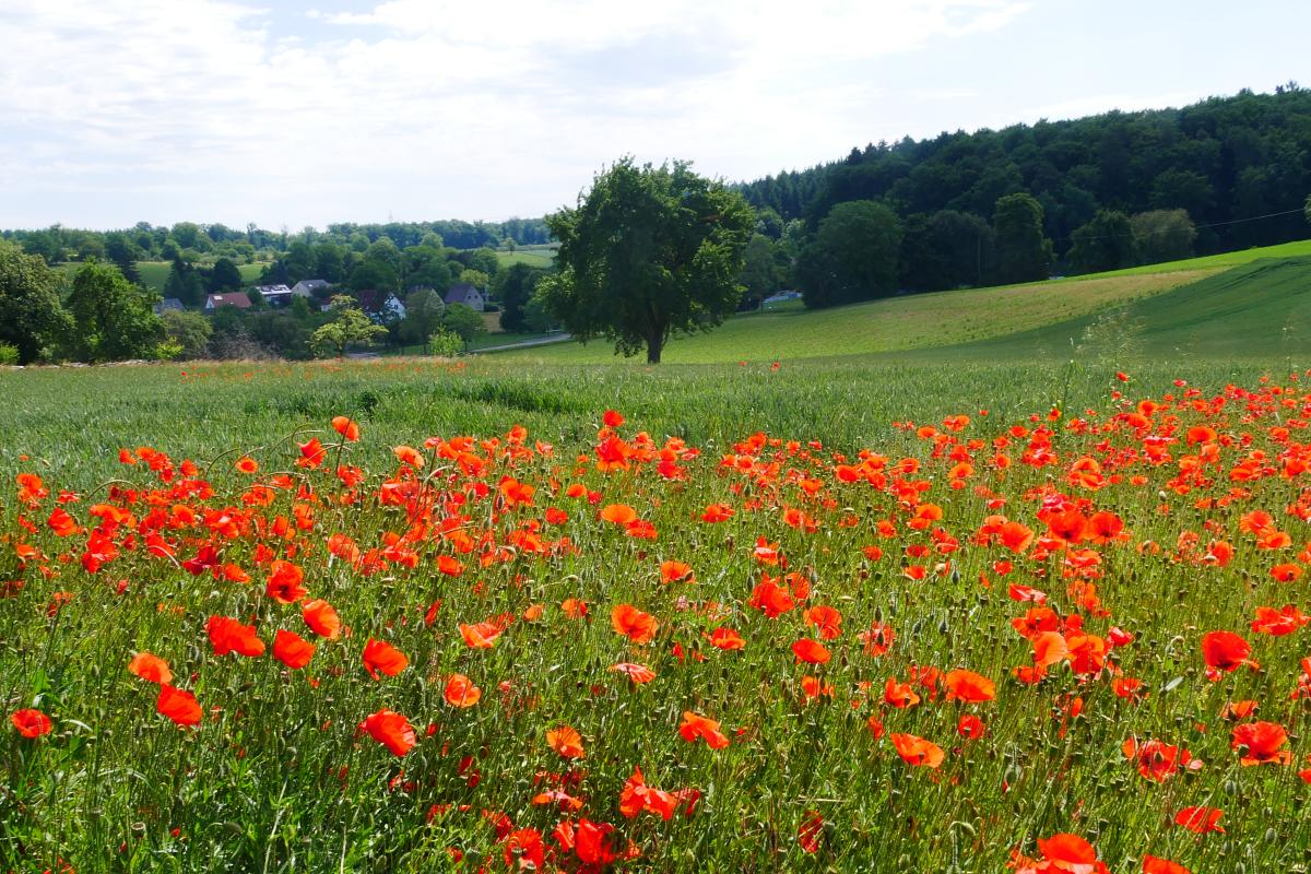
Von Gochsheim geht es erst durch Wiesen aufwärts und dann durch Wald zu einer Brücke über die ICE-Strecke. Dann auf teilweise asphaltierten Feldwegen über die Höhe nach Büchig.Von Büchig geht es im wesentlichen durch Wald nach Bretten.
The following users contributed to this text:
Hiking maps
No maps added yet
Marking
-
 St. Andrew's cross (Green)
Accommodation
| Accommodation | Price group | |||
|---|---|---|---|---|
| 5-15 € | 16-30 € | 31-45 € | >45 € | |
|
Landgasthof Pension "Zur Krone"
Kraichtal-Gochsheim
Price group: €
|
||||
|
Scharfrichterhaus Gochsheim - Apartment
Kraichtal - Gochsheim
Price group: €
|
||||
|
Gasthaus zum Hirsch
Bretten
Price group: >45 €
|
|
|||
Sources and copyright
GPX track coordinates: © OpenStreetMap contributors. Published under Open Database License (ODbL)GPX-Downloads
You can use the GPX track for navigation and tour planning on your digital device (GPS, smartphone, online tour planner).
| Etappe Stage 9.7 Gochsheim - Bretten | Download (.gpx) |
| All tracks in Germany | Download (.zip) |
The download and many of the services offered on this page are free of charge. However, I would greatly appreciate a small donation as a token of appreciation for my work! This can be done through Paypal or a supporting membership. Thank you very much!