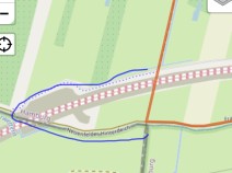
2.3 Blankenese - Buchholz i.d.N.
36.3km
Distance
-
Walking time
390m
Total climb
325m
Total descent
Photos


Stage description
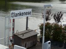
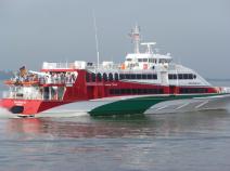
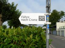
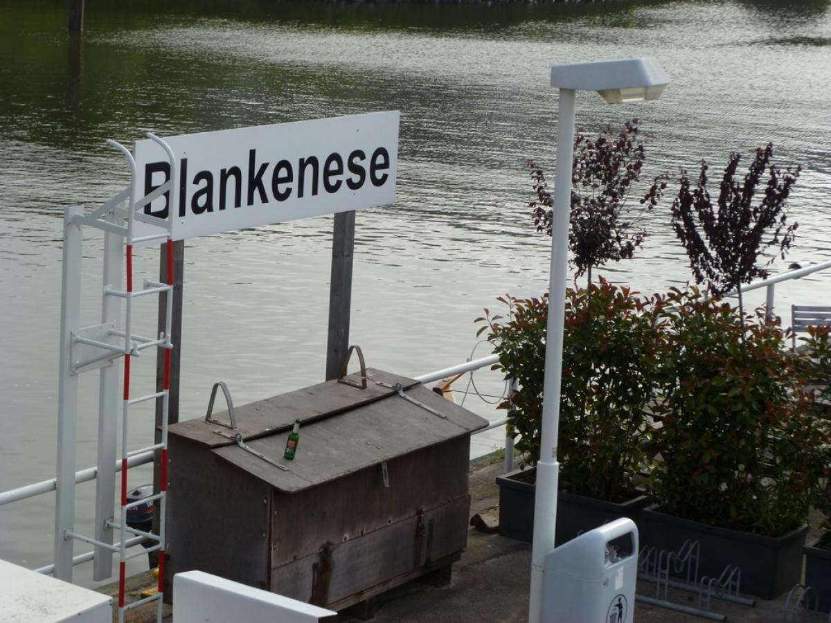
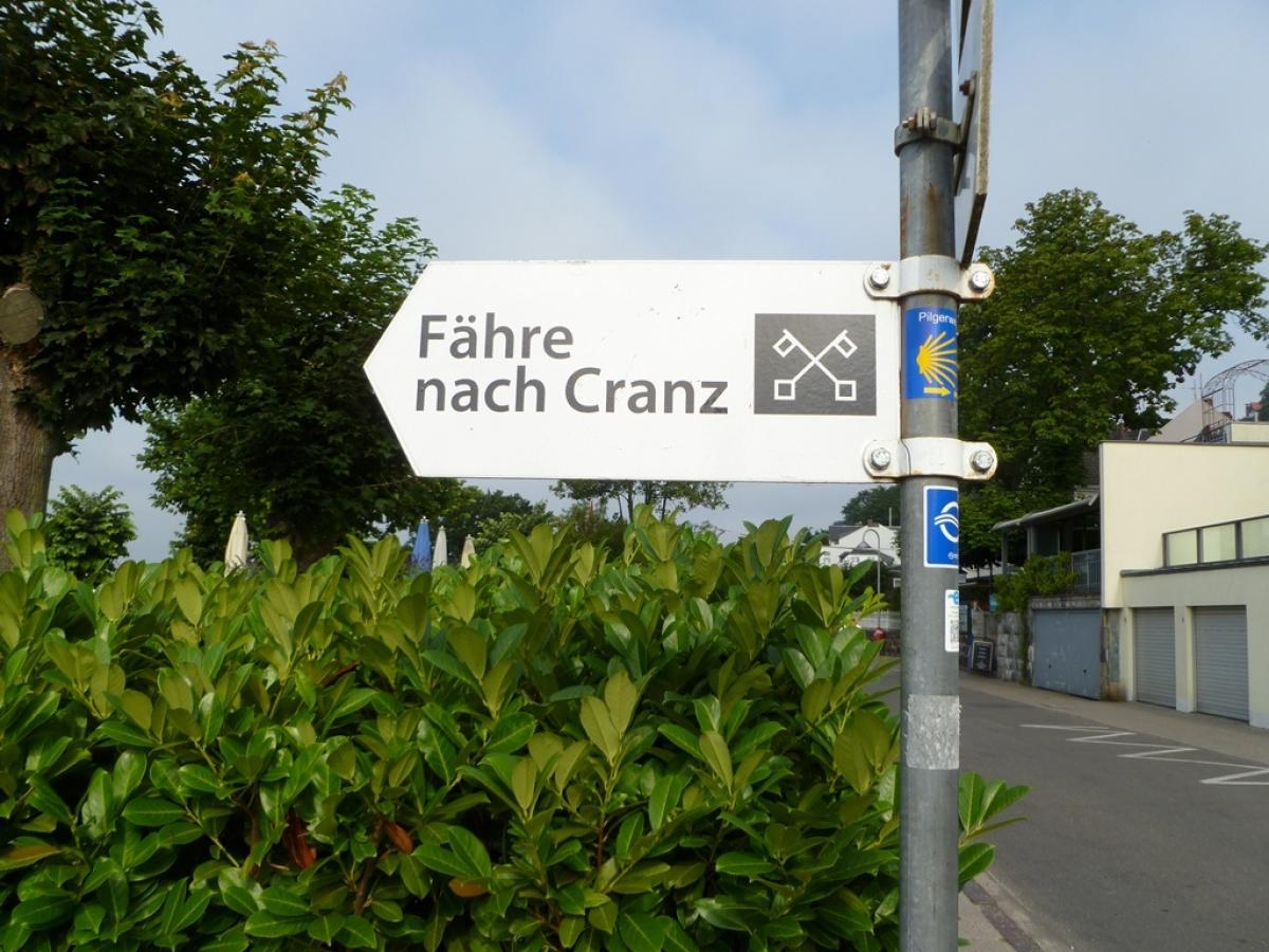
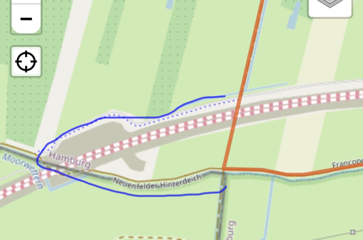
Take the HADAG ferry from Blankenese to the jetty at Cranz / Altes Fährhaus. N.B.: In the winter months the ferry does not run on Sundays and crossing times generally are very much dependent on the times of the tides. Alternatively, you can take the ferry from Teufelsbrück (or from Landungsbrücken) to Finkenwerder from where you can follow the (unfortunately very badly) marked hiking trail (yellow arrows) to Neuenfelde.
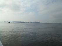
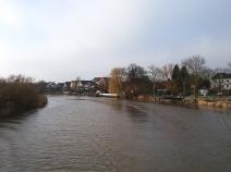
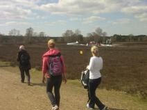
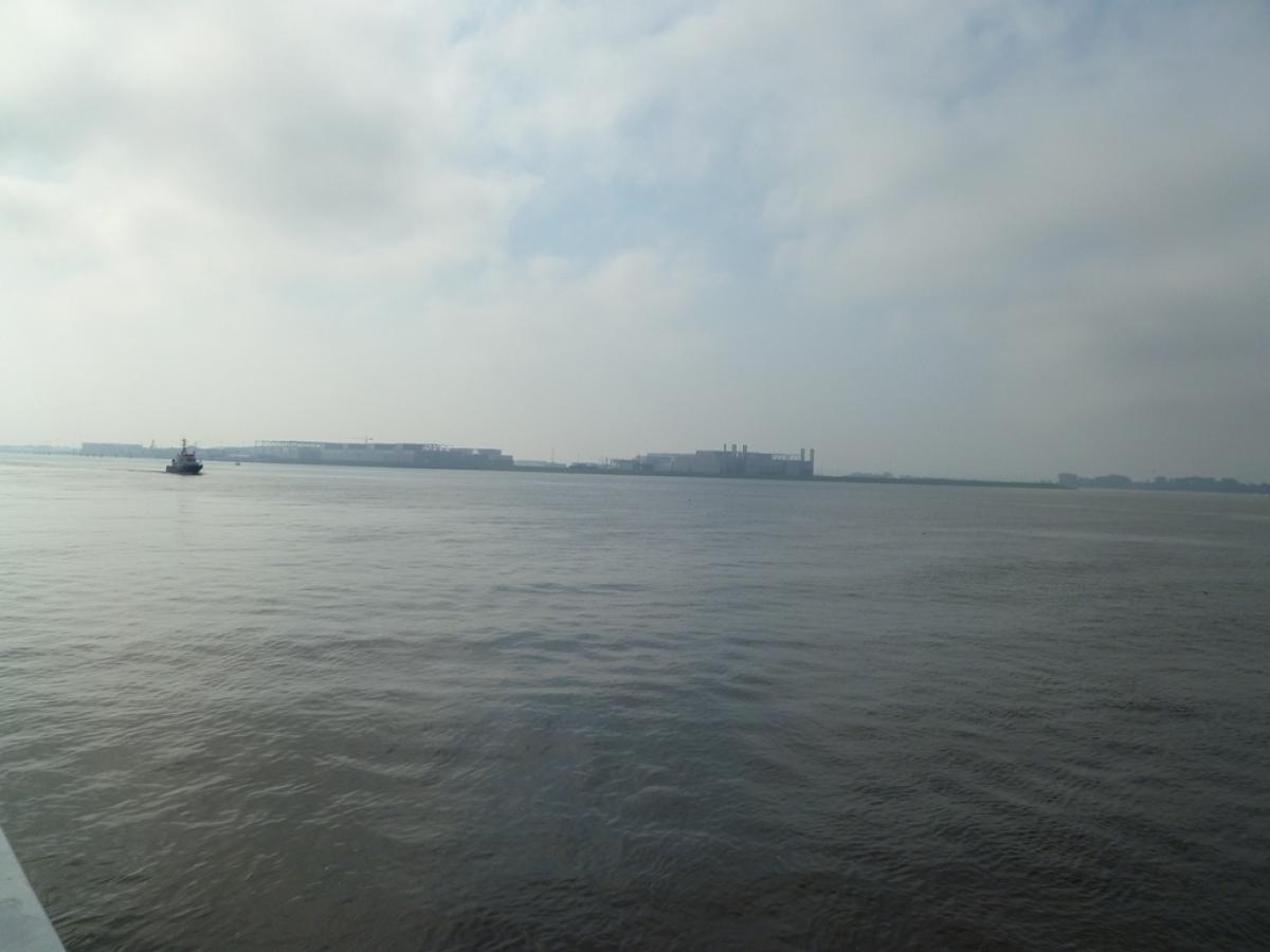
This extremely varied stage through a wide variety of cultural and natural landscapes begins on the southern bank of the Elbe.
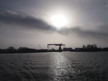
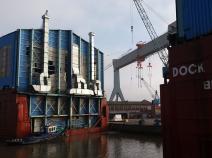
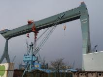
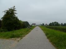
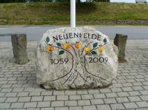
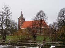
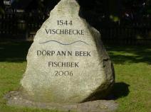
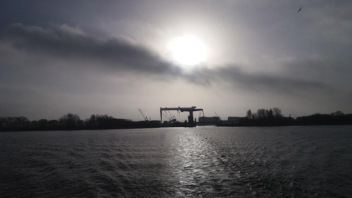
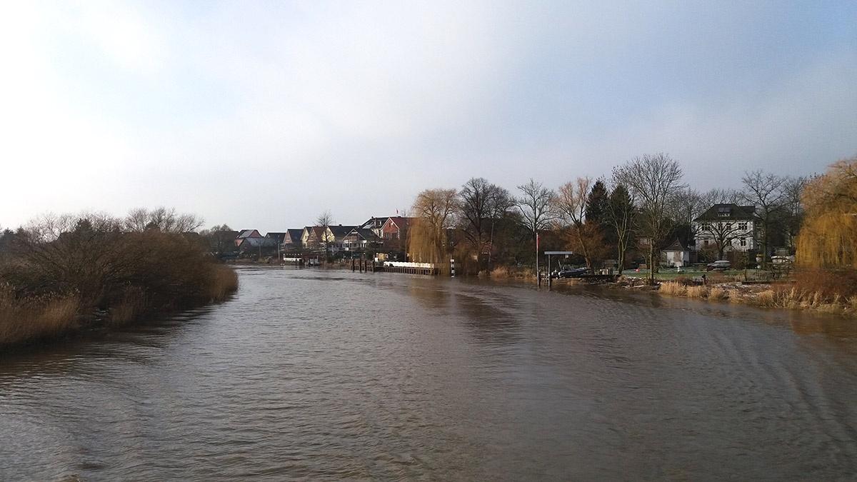
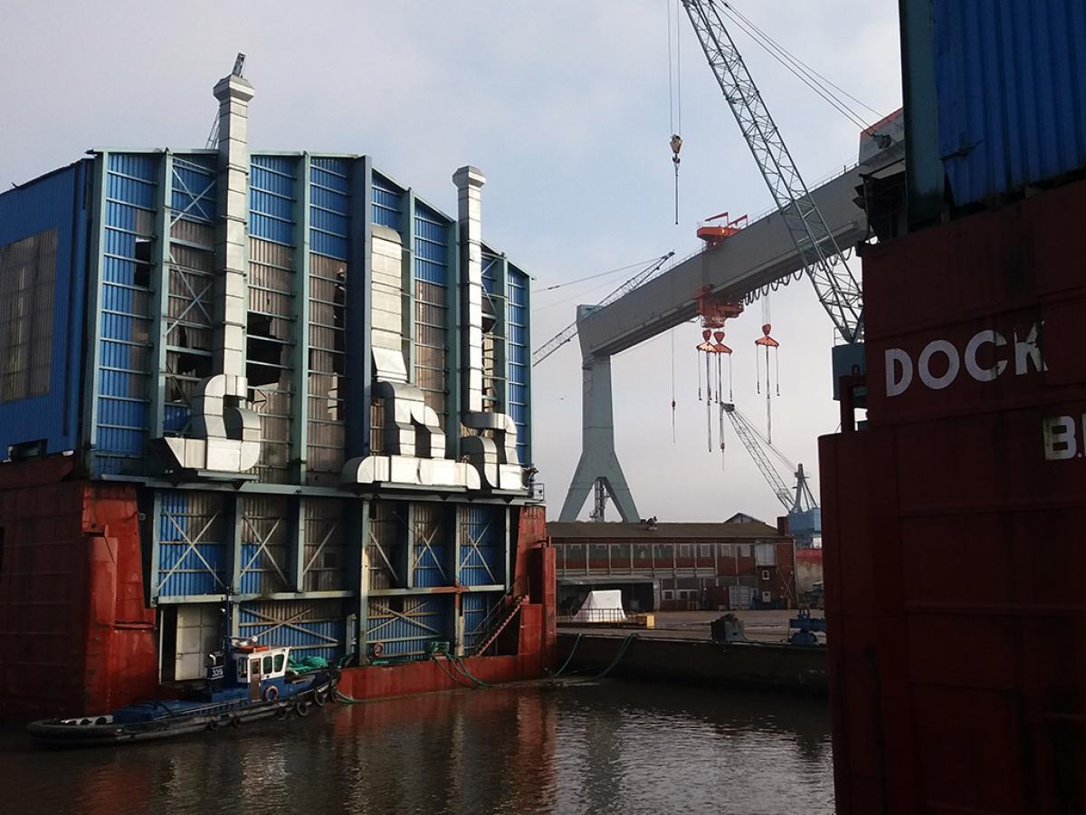
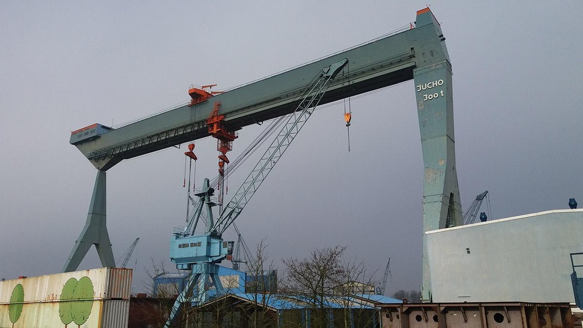
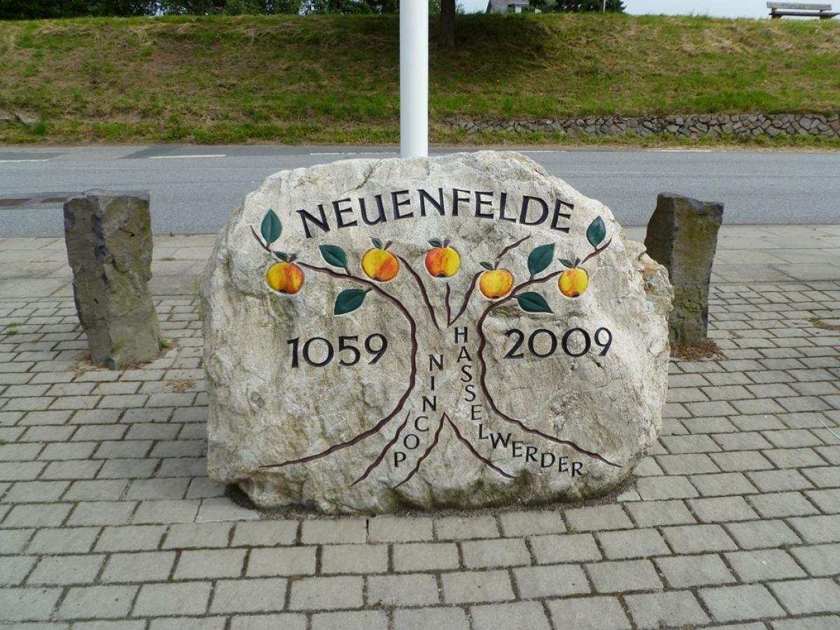
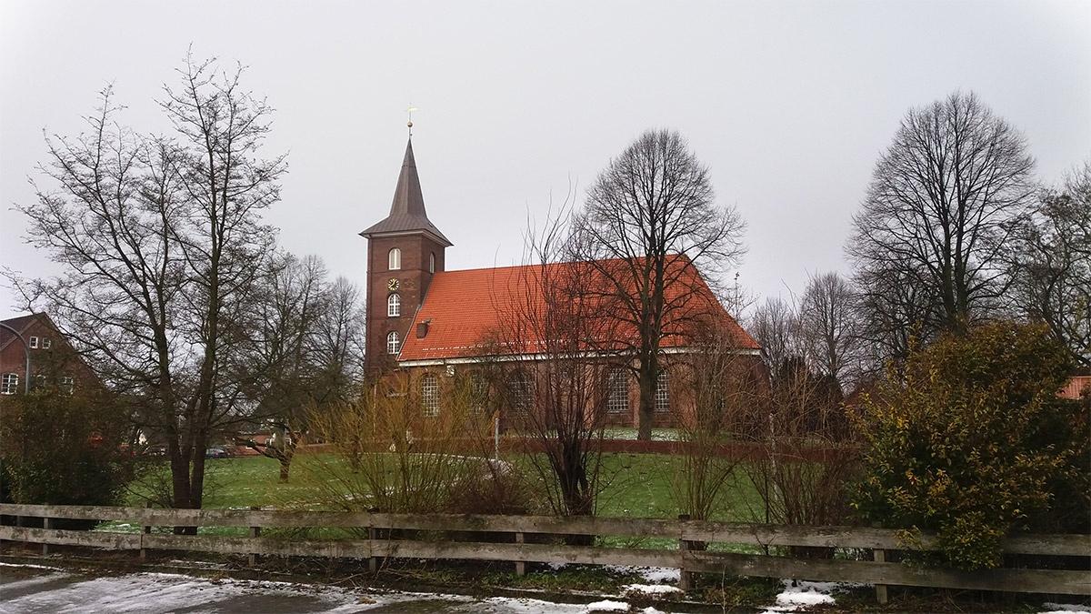
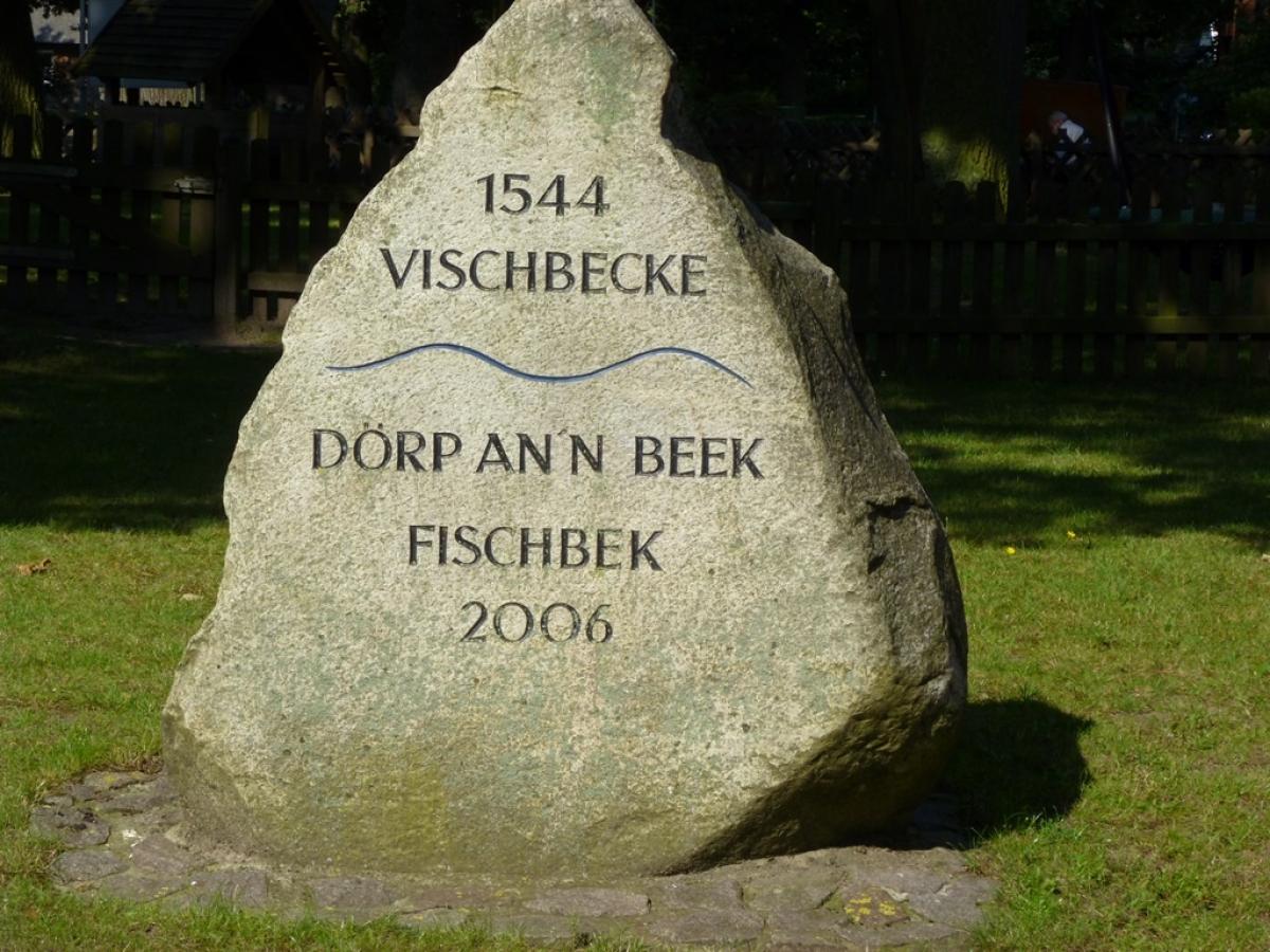
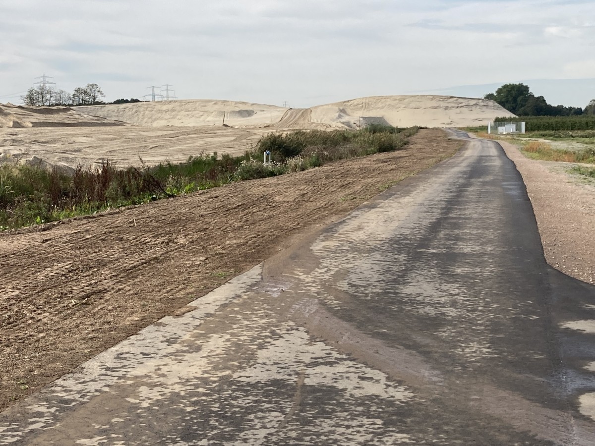
The path leads first through the pretty but slightly neglected town of Cranz. Having crossed the Este River, a tributary of the Elbe, over the taxiway bridge, there follows a rather unpleasant section of road: constantly down from and back up the dike at every yard entrance and quite a lot of truck traffic. The E1 leads around the impressive Sietas shipyard, which is visible from some distance. In Neuenfelde there is a relatively long section through the town. With more than 900 years of history, the town was the scene of a dispute in the mid-2000s over the extension of the runway at the nearby Airbus plant. The runway was built despite protests and ends today a few hundred meters from the town. In the town centre of Neuenfelde, the St. Pankratius Church houses an organ built by the eminent organ builder Arp Schnitger .
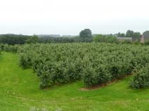
Once through Neuenfelde, the E1 leaves the road. The first section offers a little bit of the Alte Land (the old country), with its immense orchards. This is followed by the Moorgürtel, a nature reserve that stretches north of the railway line heading towards Cuxhaven.
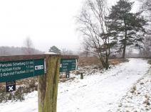
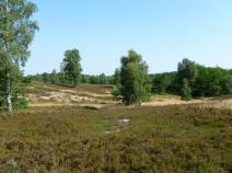
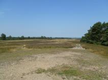
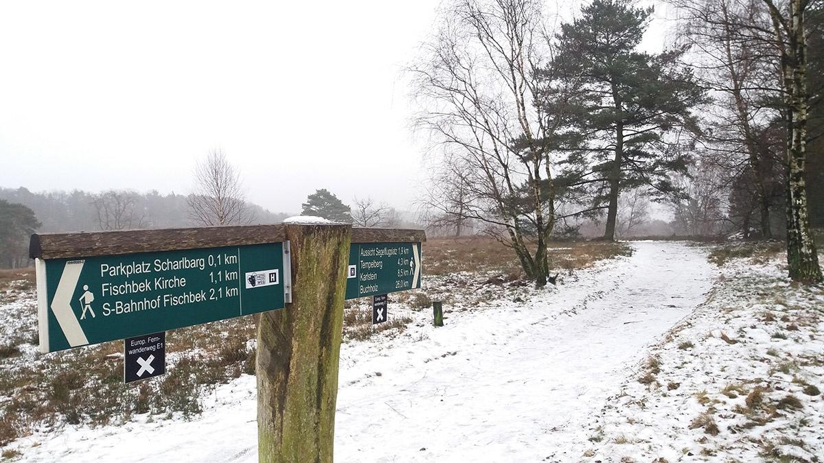
From Fischbek, the E1 follows the Heidschnuckenweg to the Fischbeker Heide,an unusually hilly and simply magnificent landscape by northern German standards. Behind the heathland there is a long section of forest, which is particularly attractive, especially in the northern part.
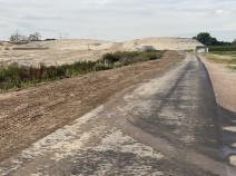
South of Rosengartenstrasse, less charming, straight paths lead through the commercial forest, which here bears the name Stuvenwald. Finally, we reach the town of Buchholz in the Nordheide, which still boasts a very ancient and unspoiled urban forest.
Hiking maps
No maps added yet
Marking
-
 St. Andrew's cross / E1
Accommodation
| Accommodation | Price group | |||
|---|---|---|---|---|
| 5-15 € | 16-30 € | 31-45 € | >45 € | |
|
Elbecamp
Hamburg
Price group: 5-15 €
|
|
|||
|
Hotel Zum Eichenfrieden
Neu Wulmstorf
Price group: 30-45 €
|
|
|||
|
Landhaus Mienenbüttel
Mienenbüttel/Neu Wulmstorf
Price group: 30-45 €
|
|
|||
|
Show more accommodation in Hamburg
, Neu Wulmstorf
and Buchholz in der Nordheide
(booking.com / Ad)
|
||||
Sights
Fischbeker Heide
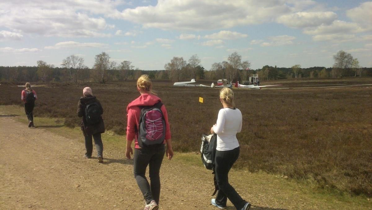
In the extreme southwest of Hamburg, the E1 crosses the Fischbeker Heide nature reserve. The path approaches the "Harburg Hills" in gentle ups and downs through heath and forest landscapes. These are a geological legacy of the glaciers of the last great ice age. Not far from the trail rises (almost unnoticed) the Hasselbrack, with 116.2m the highest "mountain" of Hamburg.
Links
HADAG Timetable
Timetable of the ferry Blankenese - Cranz
geofox.de - Timetable information
Timetable information of the public transport in Hamburg (HVV)
Literature

Sources and copyright
GPX track coordinates: © OpenStreetMap contributors. Published under Open Database License (ODbL)GPX-Downloads
You can use the GPX track for navigation and tour planning on your digital device (GPS, smartphone, online tour planner).
| Etappe Stage 2.3 Blankenese - Buchholz i.d.N. | Download (.gpx) |
| All tracks in Germany | Download (.zip) |
The download and many of the services offered on this page are free of charge. However, I would greatly appreciate a small donation as a token of appreciation for my work! This can be done through Paypal or a supporting membership. Thank you very much!