1.01 Grenå - Rugard
18.1km
Distance
-
Walking time
121m
Total climb
121m
Total descent
Photos
Stage description
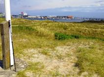
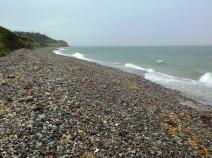
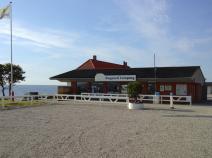
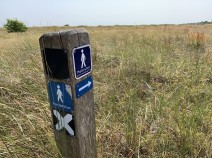
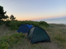
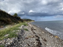
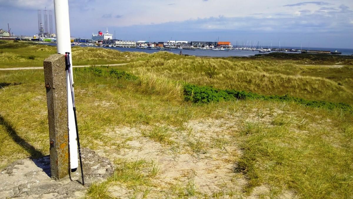
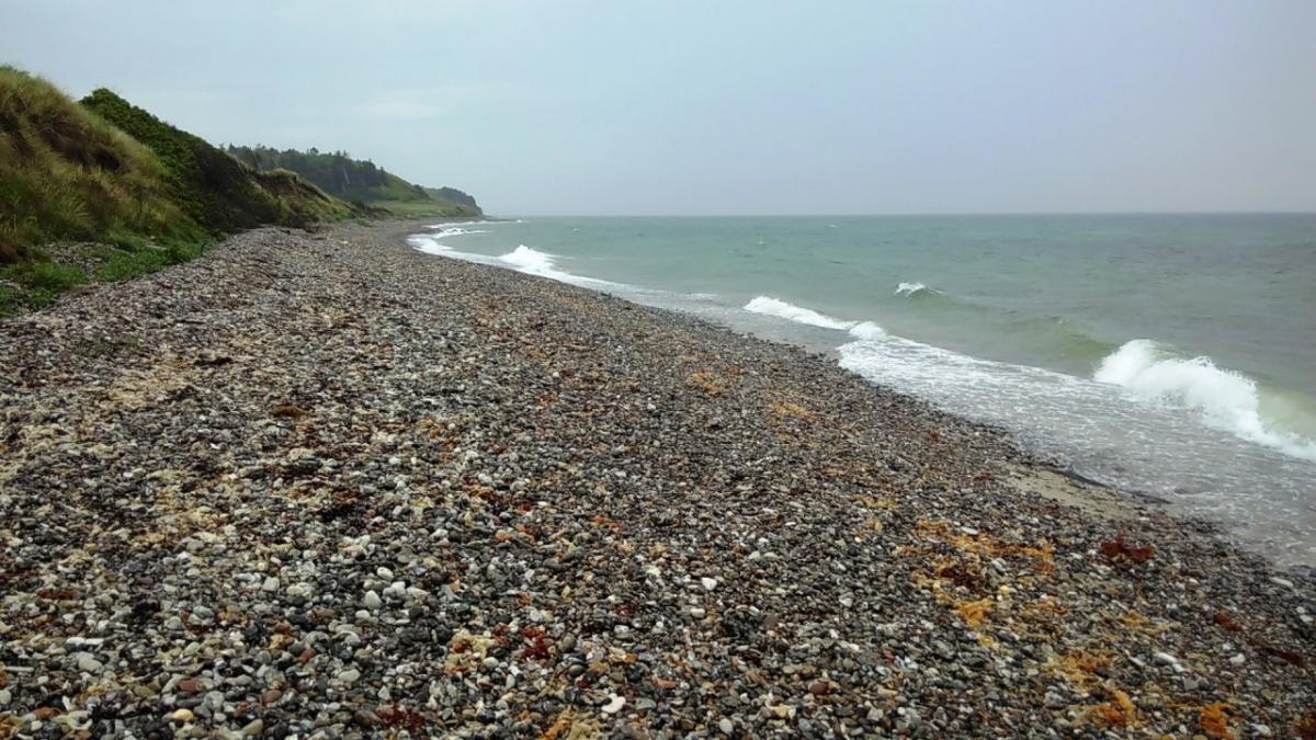
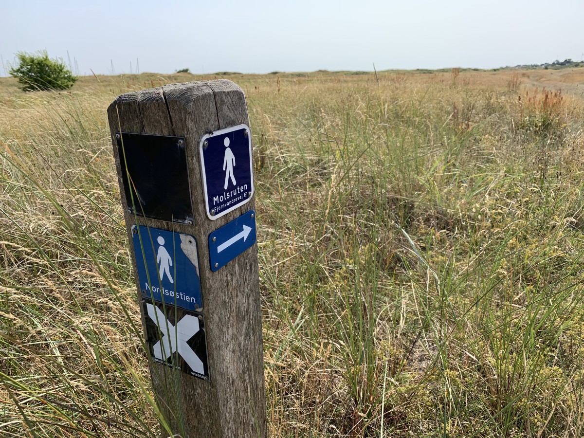
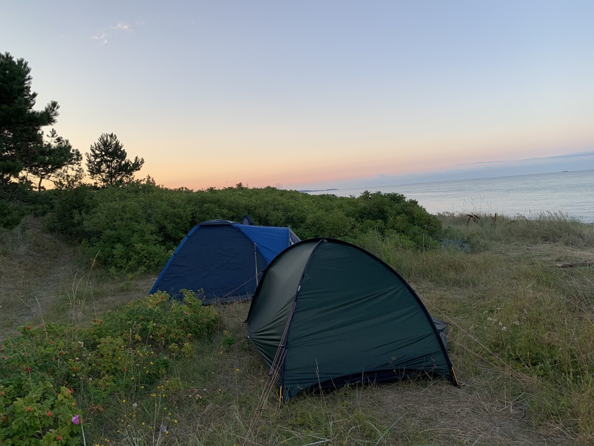
The starting point in Grenå is the harbour where the ferries from Halmstad arrive. The trail always runs close to the sea. At times it goes directly through the sand, sometimes on the other side of the dune through beautiful fir forests. Markings are rarely visible, but you can't get lost either. At the end of the stage, you pass a small lake, then Rugård Camping.
The following users contributed to this text:
Hiking maps
No maps added yet
Marking
-
 Hiking trail (Denmark)
Accommodation
| Accommodation | Price group | |||
|---|---|---|---|---|
| 0-150 DKK |
151-300 DKK |
301-450 DKK |
>450 DKK |
|
|
Grenaa Strand Camping
Grenå
Price group: DKK 150-300
|
|
|||
|
Rugård Camping Djursland
Ebeltoft
Price group:
|
||||
|
Show more accommodation in Grenå
(booking.com / Ad)
|
||||
Sources and copyright
GPX track coordinates: © OpenStreetMap contributors. Published under Open Database License (ODbL)GPX-Downloads
You can use the GPX track for navigation and tour planning on your digital device (GPS, smartphone, online tour planner).
| Etappe Stage 1.01 Grenå - Rugard | Download (.gpx) |
| All tracks in Denmark | Download (.zip) |
The download and many of the services offered on this page are free of charge. However, I would greatly appreciate a small donation as a token of appreciation for my work! This can be done through Paypal or a supporting membership. Thank you very much!