03.05 Passo della Forcella - Passo Della Spingarda
13.8km
Distance
-
Walking time
1124m
Total climb
452m
Total descent
Photos

Stage description
N.B.: We don't have an English description of the stage just yet. We'll give you the German version for now until the English version is ready.
Wer in Cabanne übernachtet hat, kann entweder den Bus zum Pass nehmen oder über einen kleinen Wanderweg zum Passo del Bozale und somit zur Alta Via hinauf steigen. Der Aufstieg dauert ca. 45 min. Der Weg ist teilweise etwas überwuchert und kreuzt mehrmals einen Fluß, ist aber prinzipiell nutzbar.
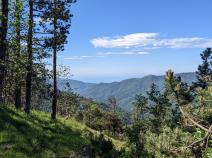
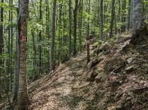
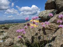
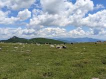
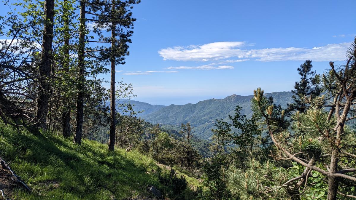
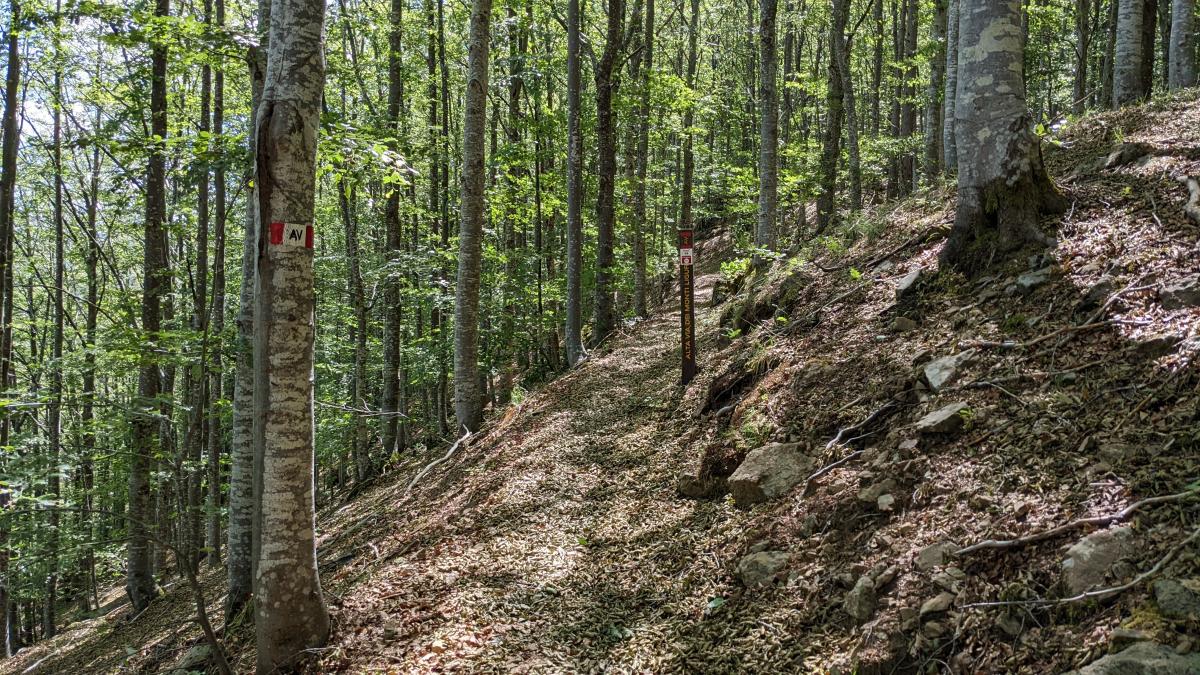
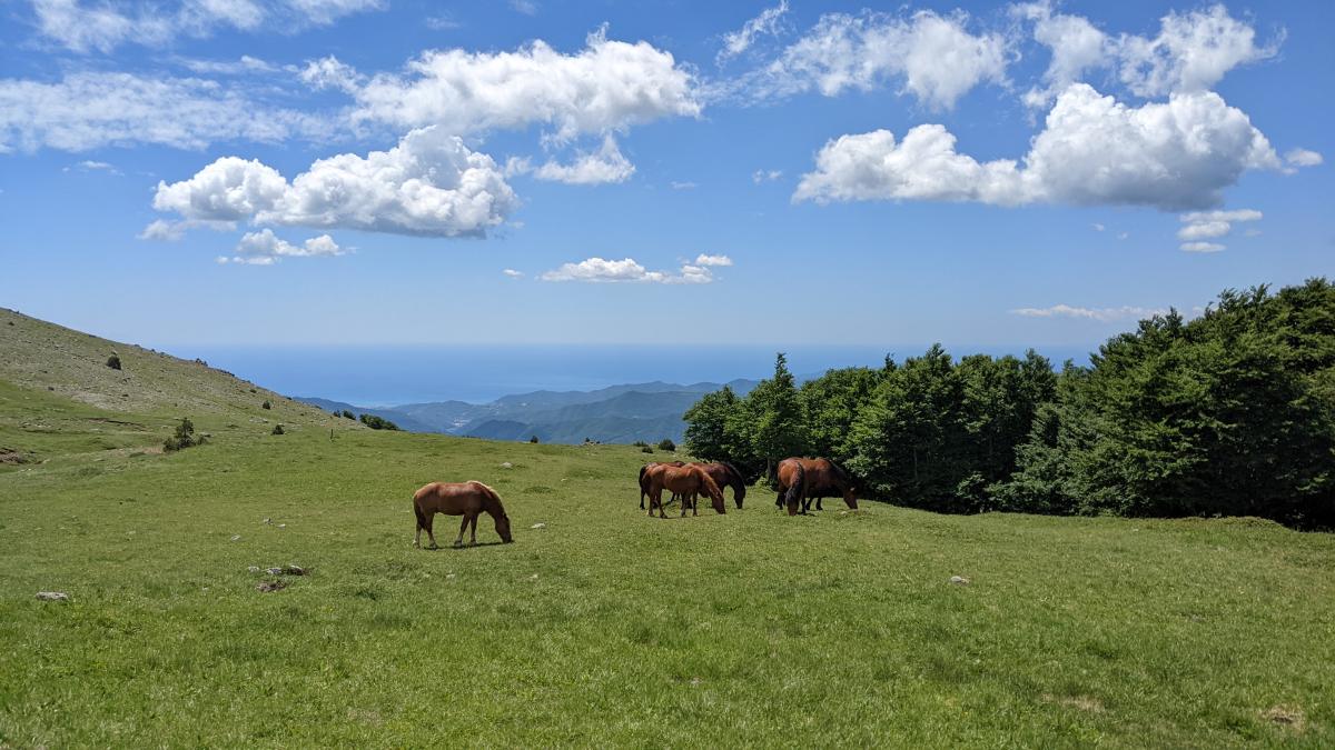
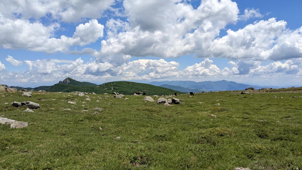
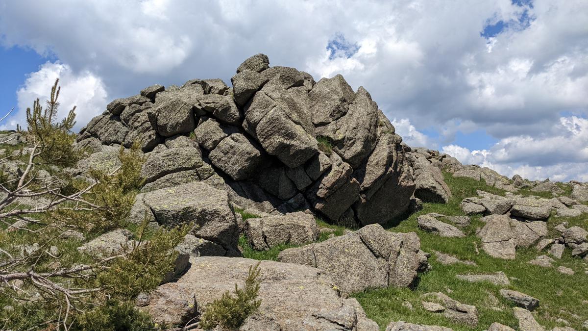
Der E1/Alta Via führt auf schönem Pfad überwiegend bergauf durch schattigen Wald mit nur wenigen Aussichtspunkten.
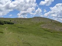
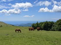
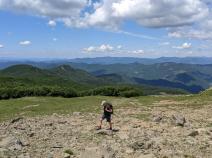
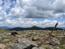
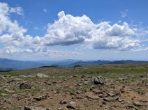
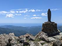
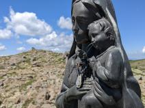
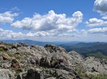
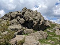
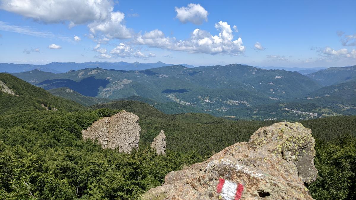
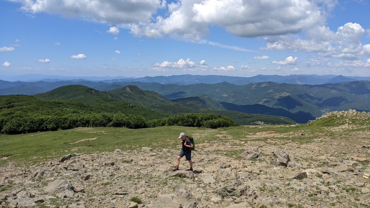
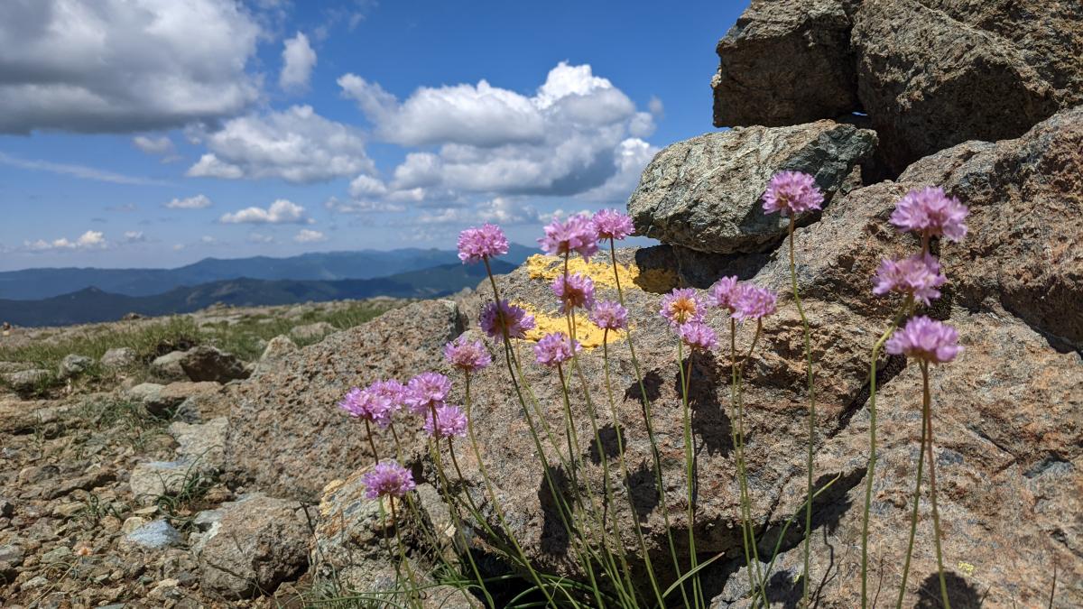
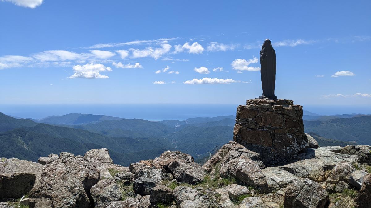
Kurz vor dem Passo delle Lame erreichen wir aber schließlich eine wunderschöne offenere Fläche und es bietet sich wieder ein Fernblick bis zum Meer. Am Passo delle Lame biegt der Weg links ab auf eine breite Piste. Etwas später befindet sich in einer Mauer eine kleine Treppe. Ab hier steigt der Pfad längere Zeit steil durch den Wald an. Schließlich öffnet sich das Gelände und es ist der Höhepunkt der heutigen Etappe, der Monte Aiona (1.701 m) zu sehen.
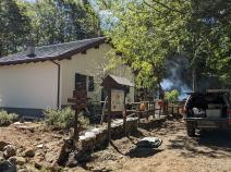
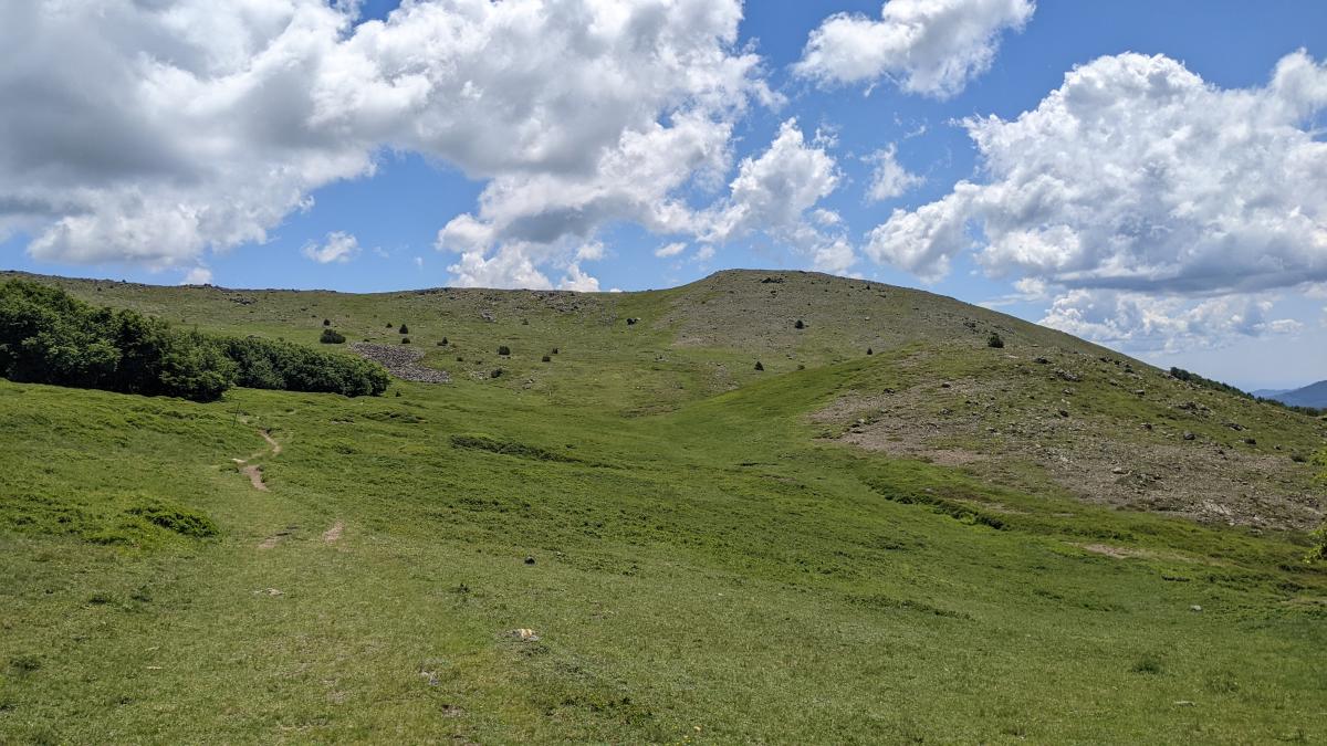
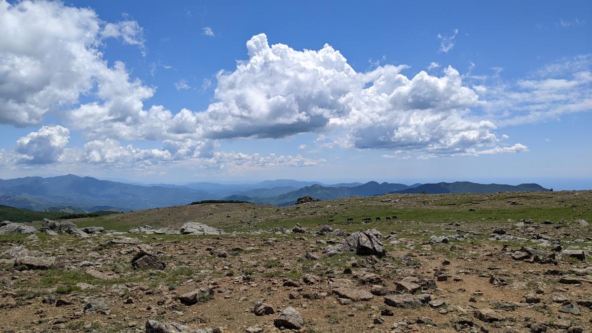
Von dessen zwei Gipfeln bietet sich ein großartiger Rundumblick. Weiter geht es in leichtem Bergab zum Etappenziel, dem Passo Della Spingarda. Da das Rifugio Monte Aiona derzeit geschlossen ist (Stand 2022), bietet sich die Übernachtung im Rifugio Casermette del Monte Penna oder dem Malga Zanoni an.
The following users contributed to this text:
Hiking maps
No maps added yet
Marking
-
 Alta Via dei Monti Liguri
Accommodation
| Accommodation | Price group | |||
|---|---|---|---|---|
| 5-15 € | 16-30 € | 31-45 € | >45 € | |
|
Rifugio Ventarola
Ventarola
Price group: €
|
||||
|
Albergo Ristorante Paretin
Cabanne / Rezzoaglio (GE)
Price group: €
|
||||
|
B&B Tropical
Cabanne
Price group: €
|
||||
|
A due passi dall'Alta VIa
Borzonasca (GE)
Price group: €
|
||||
|
Agriturismo Il Mulino e Centro Benessere Olistico Anidra
Price group: €
|
||||
|
Rifugio Monte Degli Abeti
Price group: €
|
||||
|
Rifugio Casermette del Monte Penna
Santo Stefano d'Aveto
Price group: €
|
||||
|
Malga Zanoni
Price group: €
|
||||
Links
enrosadira.it - Liguria
Information about the E1 in Liguria
Literature
Sources and copyright
GPX track coordinates: © OpenStreetMap contributors. Published under Open Database License (ODbL)GPX-Downloads
You can use the GPX track for navigation and tour planning on your digital device (GPS, smartphone, online tour planner).
| Etappe Stage 03.05 Passo della Forcella - Passo Della Spingarda | Download (.gpx) |
| All tracks in Italy | Download (.zip) |
The download and many of the services offered on this page are free of charge. However, I would greatly appreciate a small donation as a token of appreciation for my work! This can be done through Paypal or a supporting membership. Thank you very much!