03.02 Crocetta d'Orero - Passo della Scoffera
20.3km
Distance
-
Walking time
1470m
Total climb
1264m
Total descent
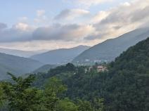
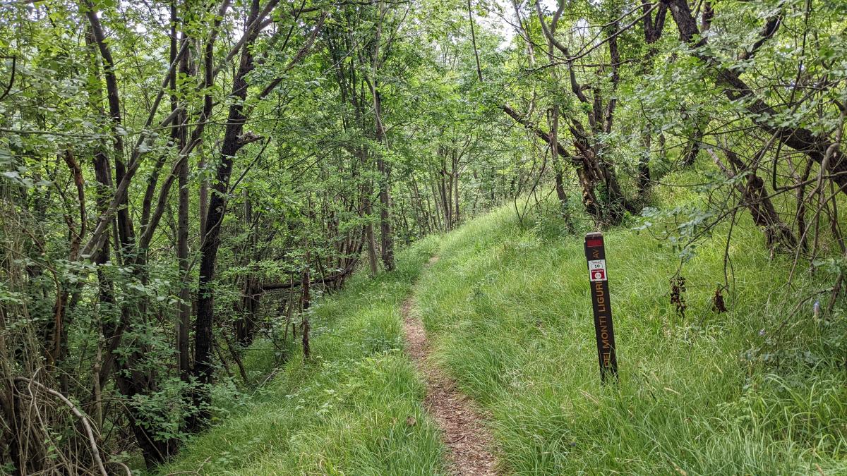
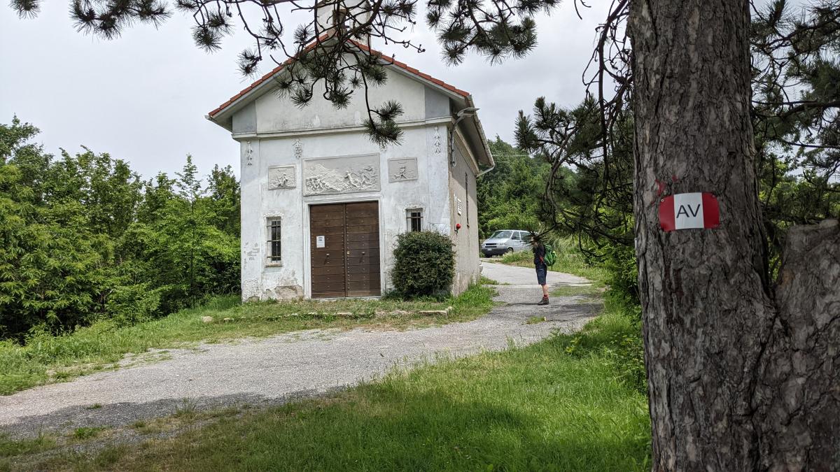
Photos
Stage description
N.B.: We don't have an English description of the stage just yet. We'll give you the German version for now until the English version is ready.
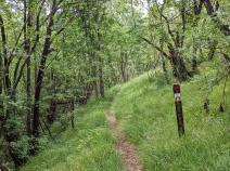
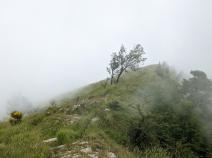
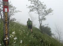
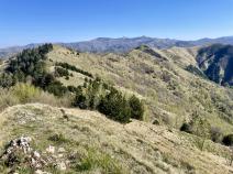
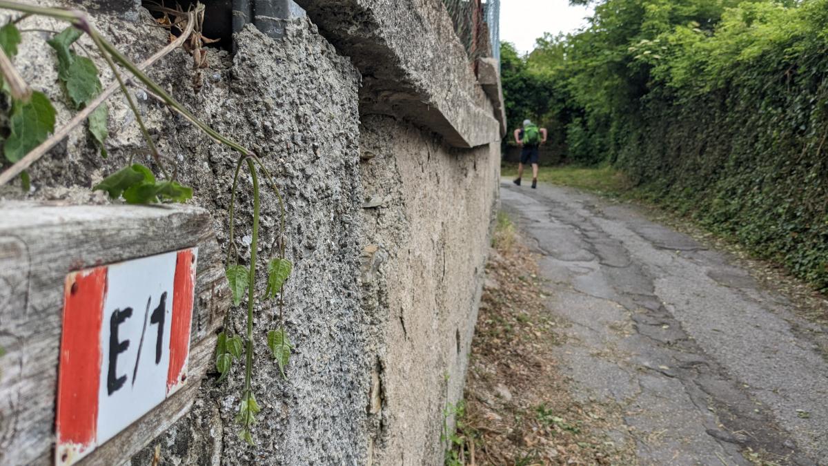
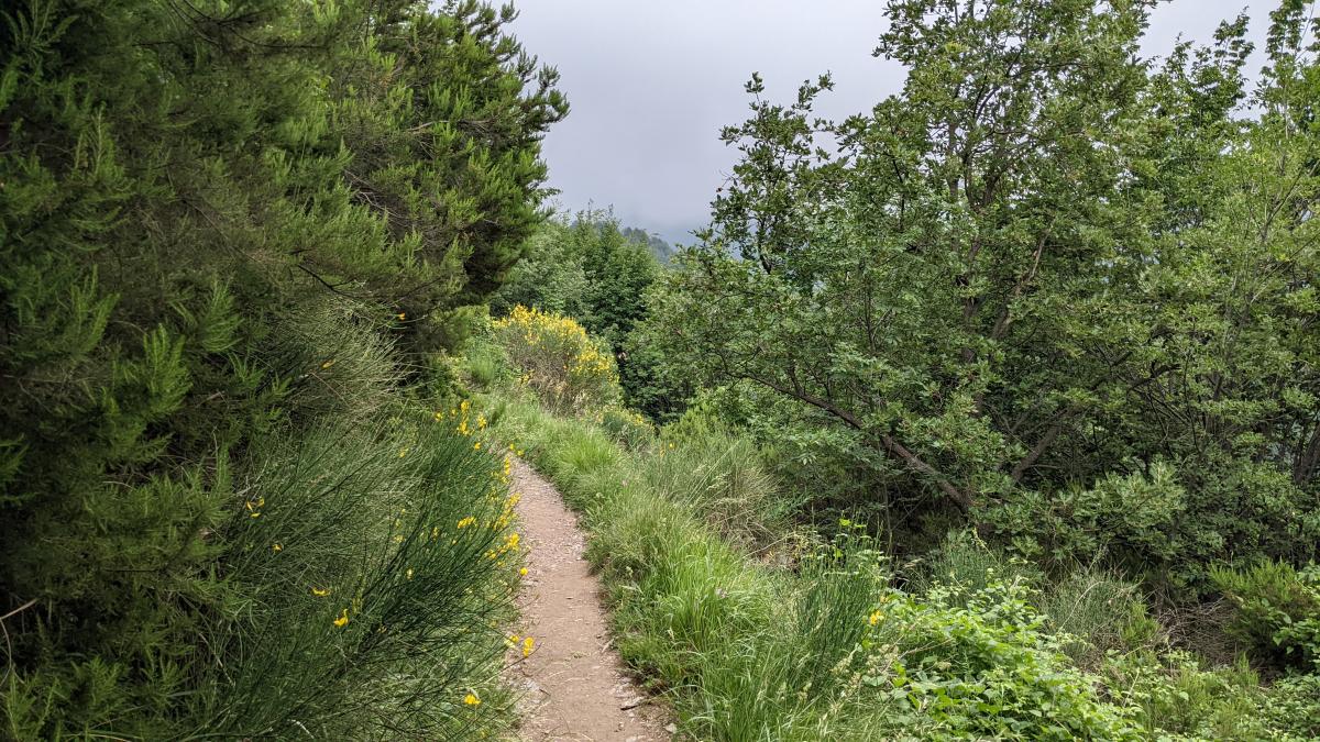
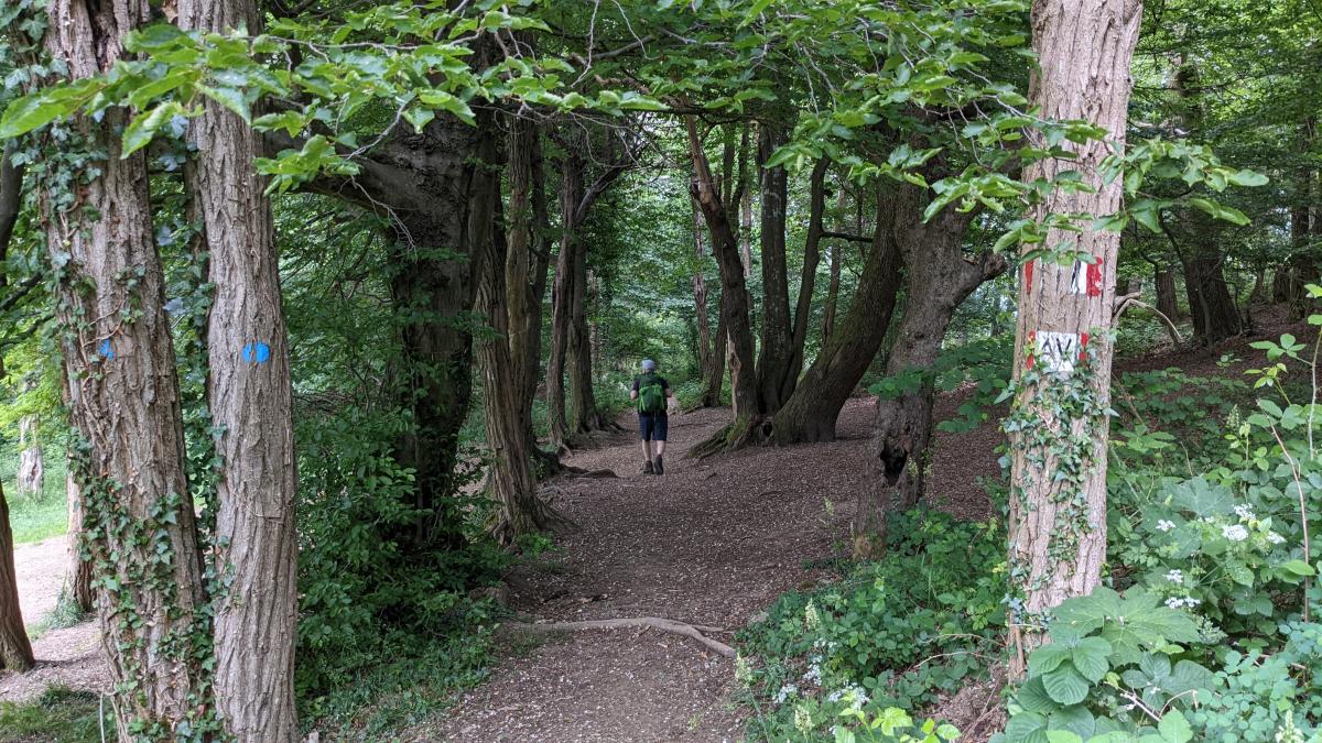
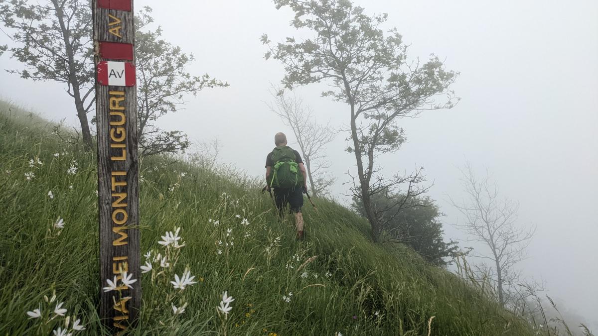
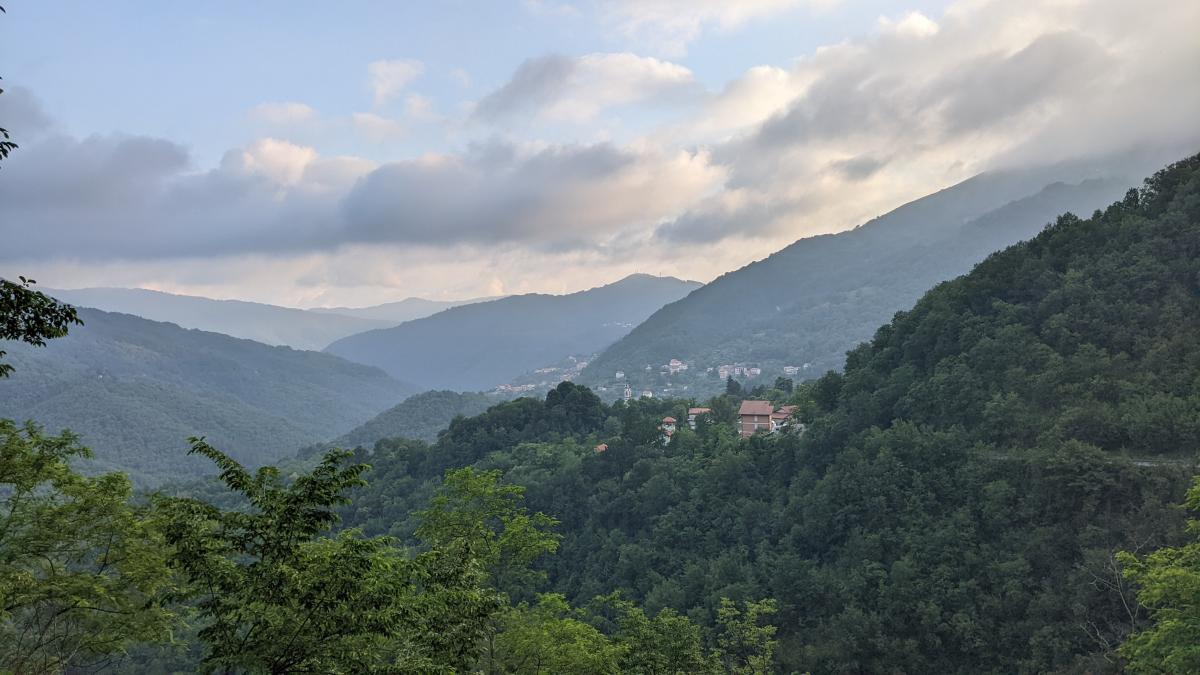
Die Etappe ist sehr gut ausgezeichnet (Alta Via Monti Liguri). Die Wege sind gut angelegt und die Wegführung läuft spektakulär über Kalkrippen. Anstiege und Abstiege sind teilweise sehr steil, Wanderstöcke sind hier hilfreich. Eines der schönstens E1 Wegstücke sicherlich der Grat über den Monte Spina. Beachtenswert sind zunehmend mediterane Pflanzenarten wie Affodill und Baumheide.
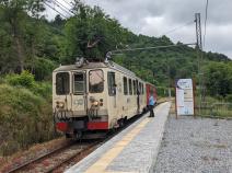
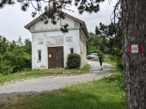
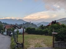
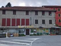
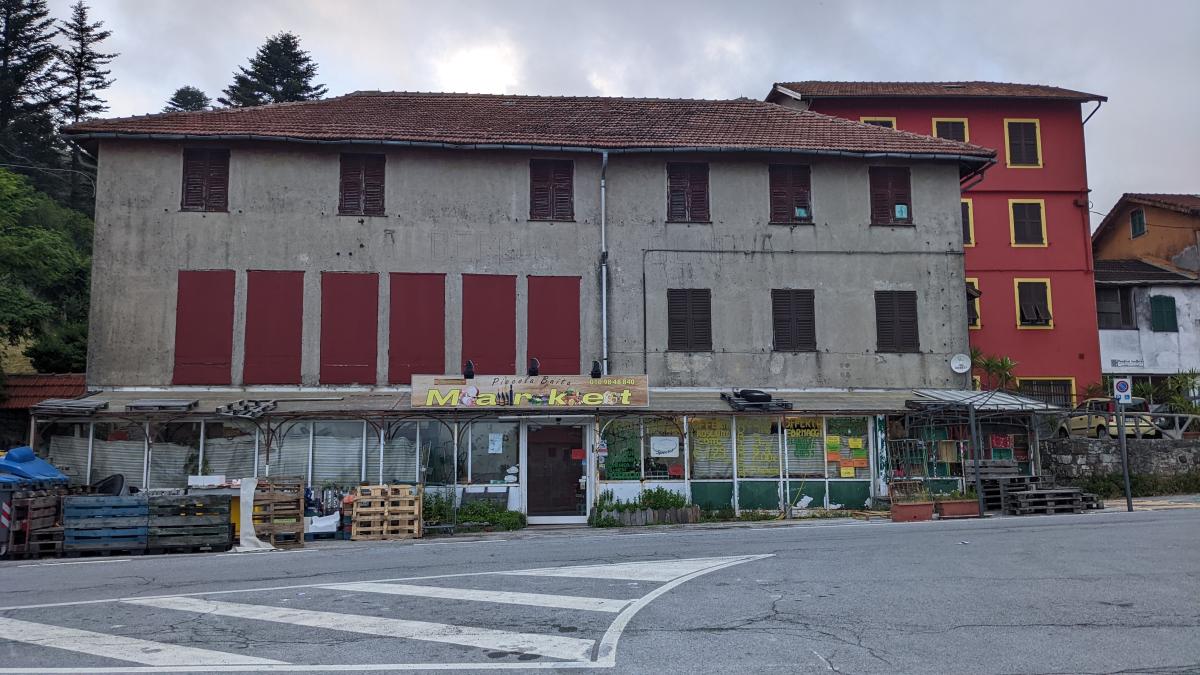
Diese Etappe ist gut von Genua aus mit der Schmalspurbahn zu erreichen. Nach etwas 7 Kilometern gibt es in Creto eine Einkehr-/Übernachtungsmöglichkeit und eine Bushaltestelle (Bus nach Genua). Am Colle di Monte Lago und am Pass kurz vor dem Aufstieg zum Monte Carmo gibt es Bänke/Tisch zum rasten. In Scoffera gibt es die letzte Einkaufsmöglichkeit vor Abetone. Absolut empfehlenswert in Scoffera ist das Ristorante Alessandro. Alternativ gibt es die Pizzeria Al Gallo Cedrone (ca. 20 min Fußweg).
Hiking maps
No maps added yet
Marking
-
 Alta Via dei Monti Liguri
Accommodation
| Accommodation | Price group | |||
|---|---|---|---|---|
| 5-15 € | 16-30 € | 31-45 € | >45 € | |
|
Locanda dei Cacciatori
Montoggio (GE)
Price group: €
|
||||
|
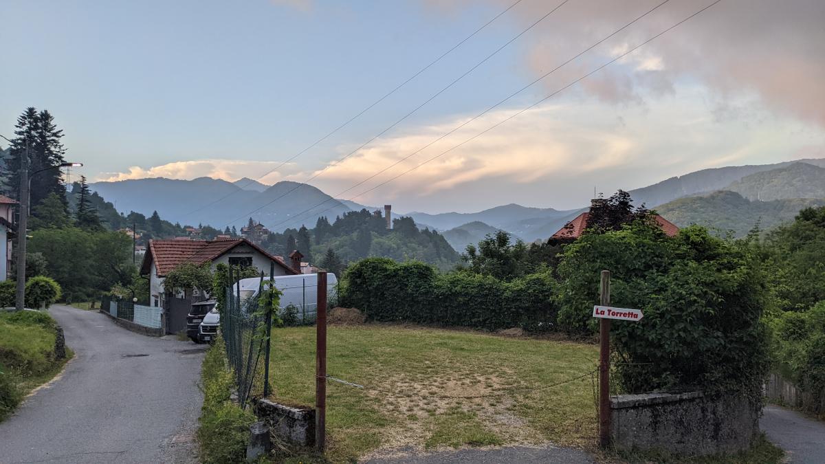
B&B La Torretta
Scoffera
Price group: >45 €
|
|
|||
Links
enrosadira.it - Liguria
Information about the E1 in Liguria
Literature
Sources and copyright
GPX track coordinates: © OpenStreetMap contributors. Published under Open Database License (ODbL)GPX-Downloads
You can use the GPX track for navigation and tour planning on your digital device (GPS, smartphone, online tour planner).
| Etappe Stage 03.02 Crocetta d'Orero - Passo della Scoffera | Download (.gpx) |
| All tracks in Italy | Download (.zip) |
The download and many of the services offered on this page are free of charge. However, I would greatly appreciate a small donation as a token of appreciation for my work! This can be done through Paypal or a supporting membership. Thank you very much!