03.01 Castagnola - Crocetta d'Orero
20km
Distance
-
Walking time
844m
Total climb
969m
Total descent
Photos

Stage description
N.B.: We don't have an English description of the stage just yet. We'll give you the German version for now until the English version is ready.
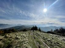
Nach ca. 8 Kilometern, kurz hinter dem Monte Poggio trifft der E1 auf die Alta Via dei Monti Liguri (Ligurischer Höhenweg). In der Agriturismo La Costa können Lebensmittel zum Kochen gekauft werden, eine sehr nette Unterkunft. Zusätzlich müssen 150 Höhenmeter und ca. 40 min zusätzlich eingerechnet werden.
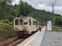
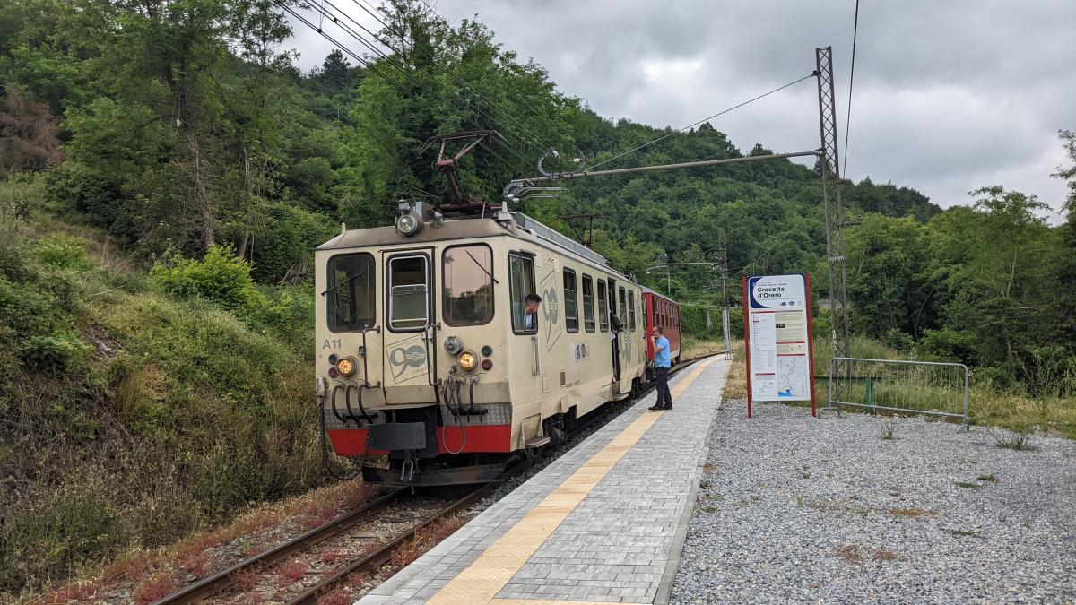
In Crocetta d'Orero ist ein Haltepunkt einer Schmalspurbahn nach Genua und Casella. Diese verkehrt mehrmals täglich und eignet sich zum Erreichen von Übernachtungsmöglichkeiten oder einen Ausflug nach Genua.
Hiking maps
No maps added yet
Marking
-
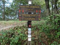
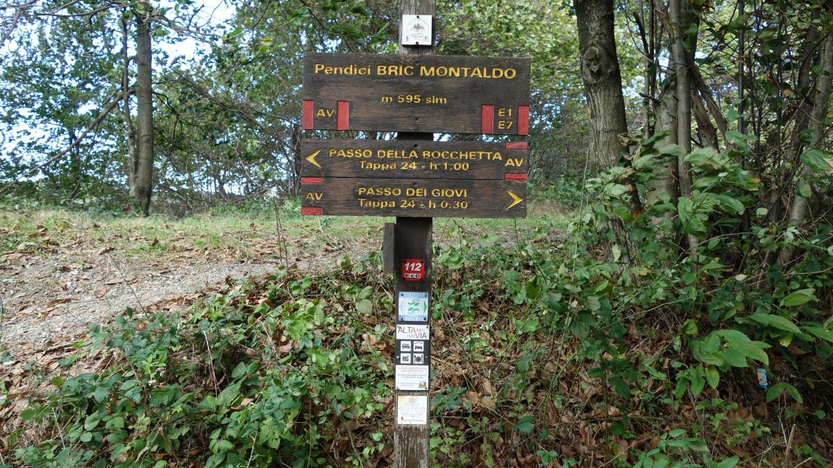
 Alta Via dei Monti Liguri
Accommodation
| Accommodation | Price group | |||
|---|---|---|---|---|
| 5-15 € | 16-30 € | 31-45 € | >45 € | |
|
Agriturismo La Costa
Mignanego (GE)
Price group: 30-45 €
|
|
|||
|
Albergo Magenta
Casella GE
Price group: €
|
||||
Links
enrosadira.it - Liguria
Information about the E1 in Liguria
Narrow gauge railroad Genoa - Casella
Timetable of the narrow gauge railroad.
Literature
Sources and copyright
GPX track coordinates: © OpenStreetMap contributors. Published under Open Database License (ODbL)GPX-Downloads
You can use the GPX track for navigation and tour planning on your digital device (GPS, smartphone, online tour planner).
| Etappe Stage 03.01 Castagnola - Crocetta d'Orero | Download (.gpx) |
| All tracks in Italy | Download (.zip) |
The download and many of the services offered on this page are free of charge. However, I would greatly appreciate a small donation as a token of appreciation for my work! This can be done through Paypal or a supporting membership. Thank you very much!