Stage
03.04 Barbagelata - Passo della Forcella
18.7km
Distance
-
Walking time
1303m
Total climb
1536m
Total descent
Photos

Stage description
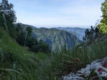
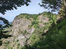
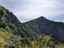
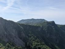
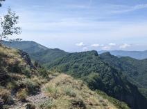
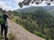
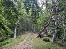
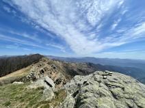
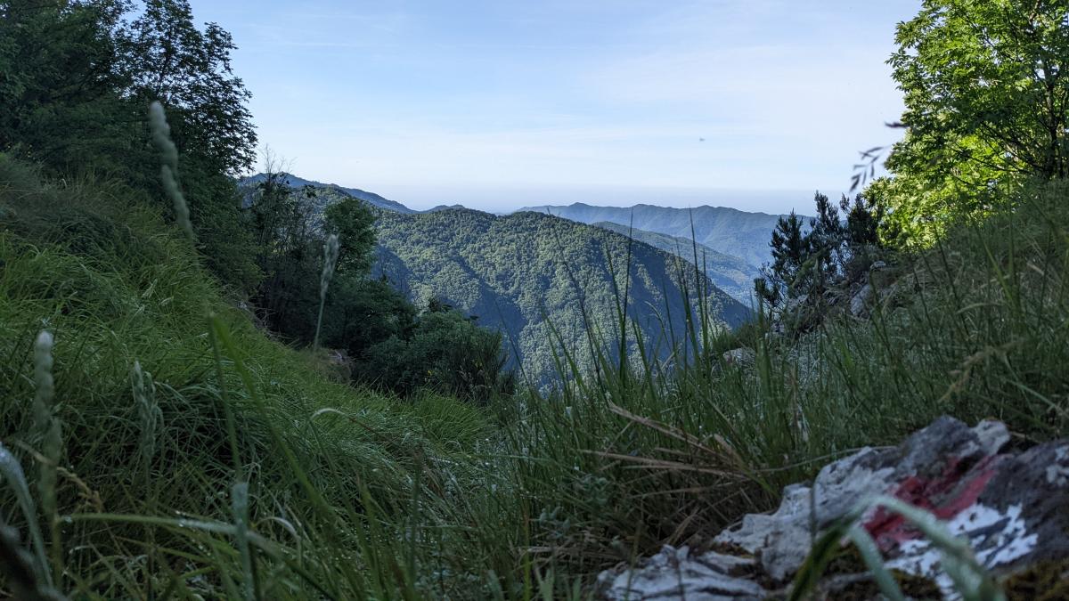
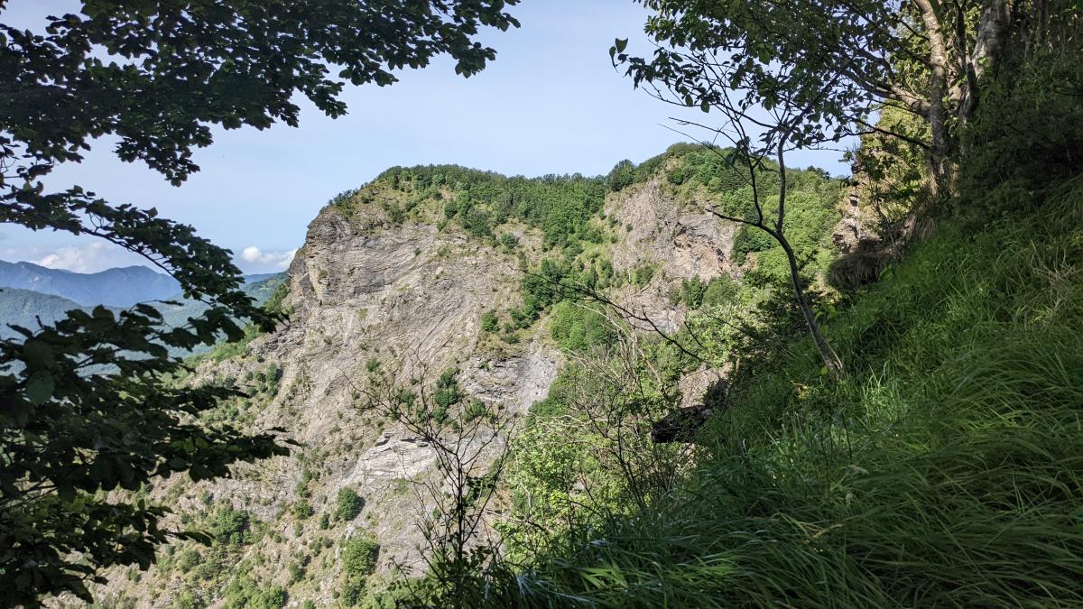
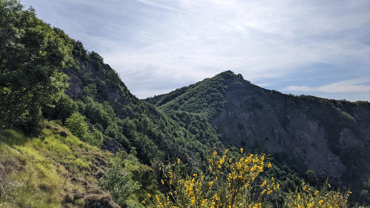
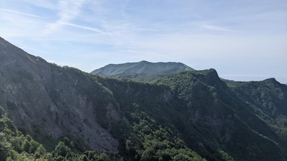
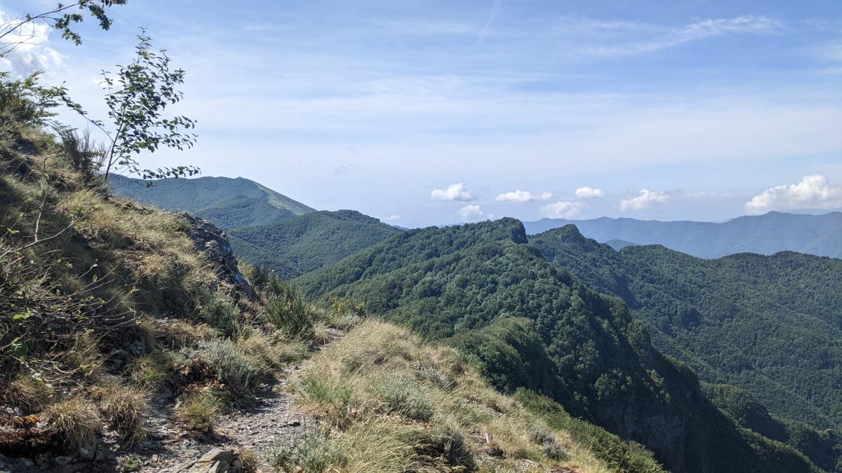
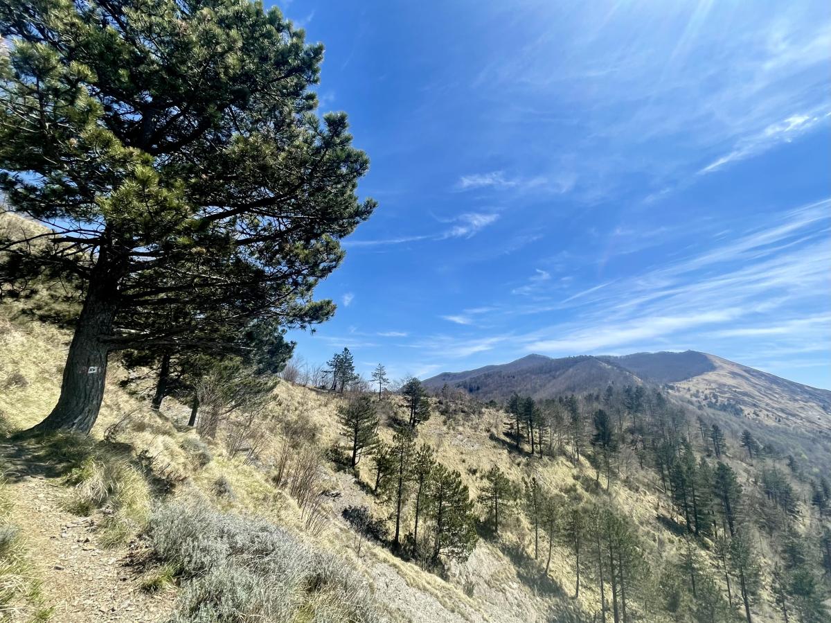
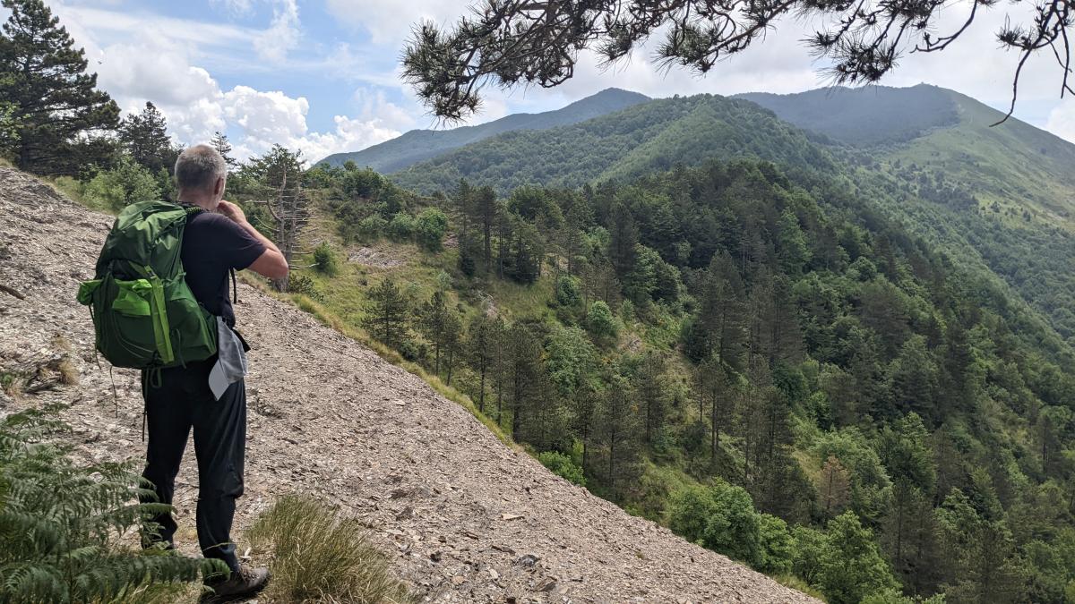
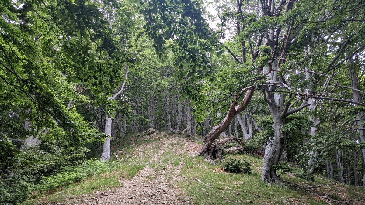
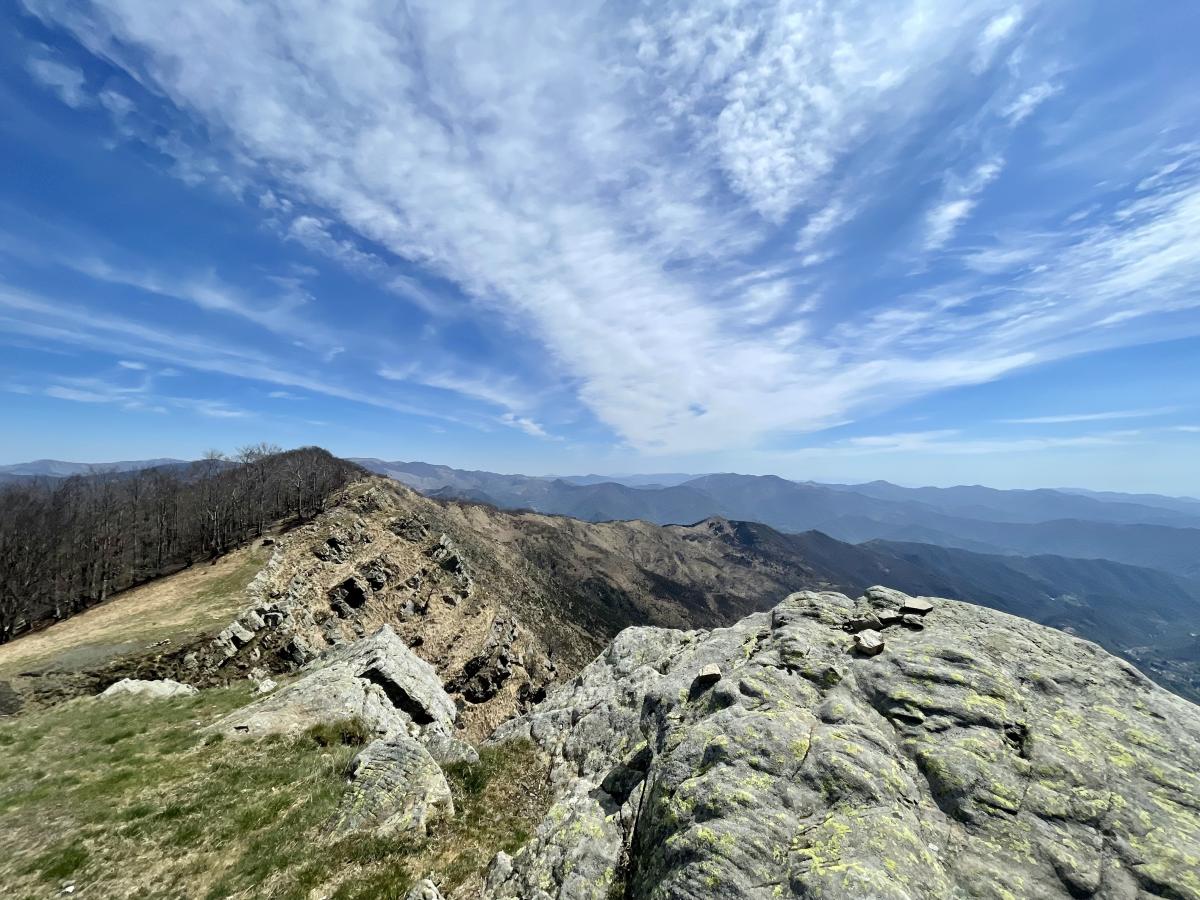
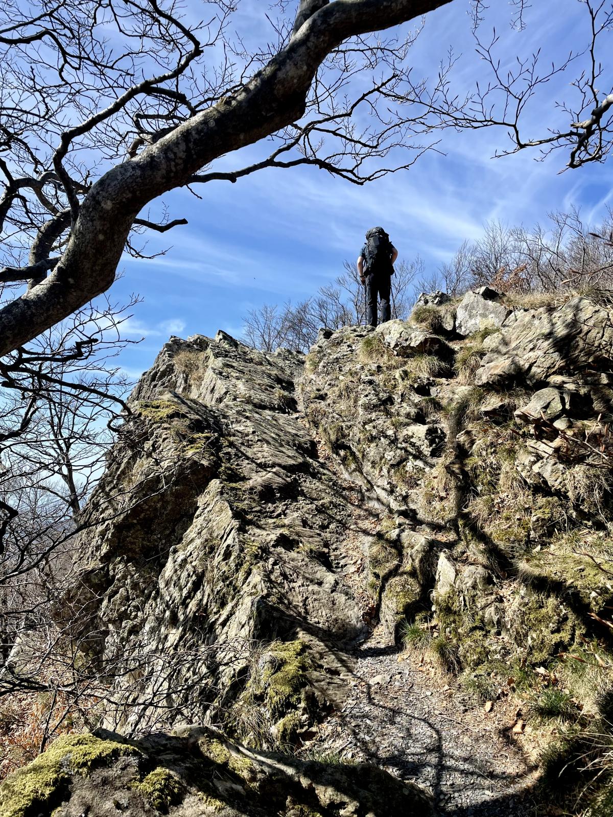
This stage is characterised by many ascents and a strenuous trail. At the Passo della Forcella, buses depart regularly into the valley until after 7 pm, where there is an Albergo in Cabane.
Last text update:
15.07.2022
Authors TM
 Show authors
The following users contributed to this text:
Hiking maps
No maps added yet
Marking
-
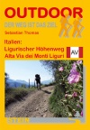
 Alta Via dei Monti Liguri
Accommodation
| Accommodation | Price group | |||
|---|---|---|---|---|
| 5-15 € | 16-30 € | 31-45 € | >45 € | |
|
Rifugio Barbagelata
Barbagelata
Price group: €
|
||||
|
B&B Guest House Drago Bianco
Calzanatta - Sbarbari
Price group: €
|
||||
|
Rifugio Ventarola
Ventarola
Price group: €
|
||||
|
Agriturismo Il Mulino e Centro Benessere Olistico Anidra
Price group: €
|
||||
|
A due passi dall'Alta VIa
Borzonasca (GE)
Price group: €
|
||||
|
Albergo Ristorante Paretin
Cabanne / Rezzoaglio (GE)
Price group: €
|
||||
|
B&B Tropical
Cabanne
Price group: €
|
||||
Links
enrosadira.it - Liguria
Information about the E1 in Liguria
Literature
Sources and copyright
GPX track coordinates: © OpenStreetMap contributors. Published under Open Database License (ODbL)GPX-Downloads
You can use the GPX track for navigation and tour planning on your digital device (GPS, smartphone, online tour planner).
| Etappe Stage 03.04 Barbagelata - Passo della Forcella | Download (.gpx) |
| All tracks in Italy | Download (.zip) |
The download and many of the services offered on this page are free of charge. However, I would greatly appreciate a small donation as a token of appreciation for my work! This can be done through Paypal or a supporting membership. Thank you very much!