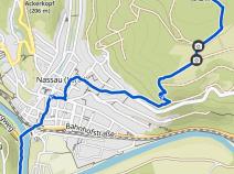
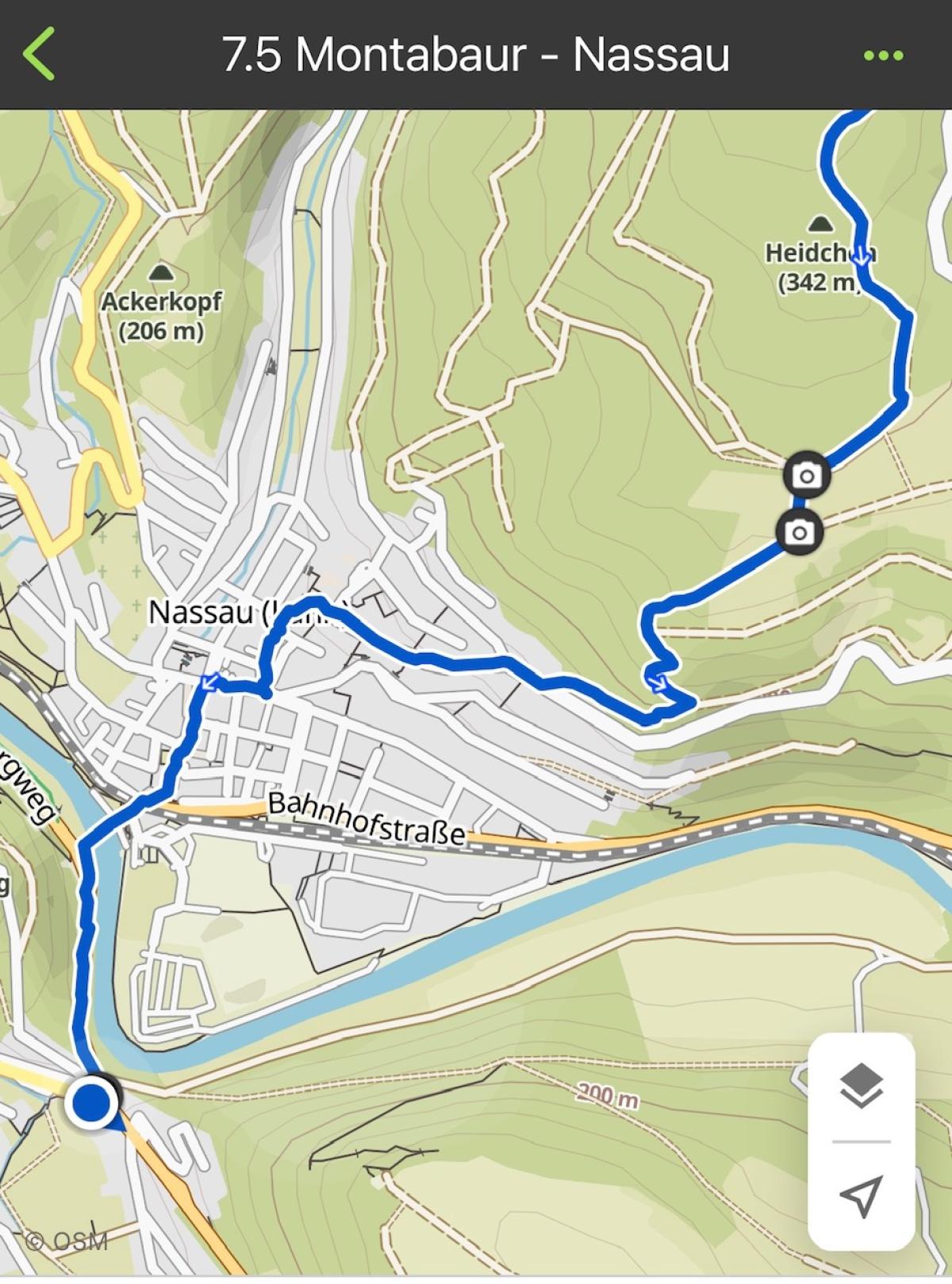
7.5 Montabaur - Nassau
27km
Distance
-
Walking time
752m
Total climb
890m
Total descent
Photos

Stage description
N.B.: We don't have an English description of the stage just yet. We'll give you the German version for now until the English version is ready.
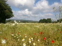
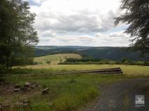
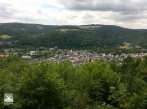
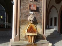
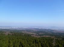
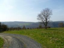
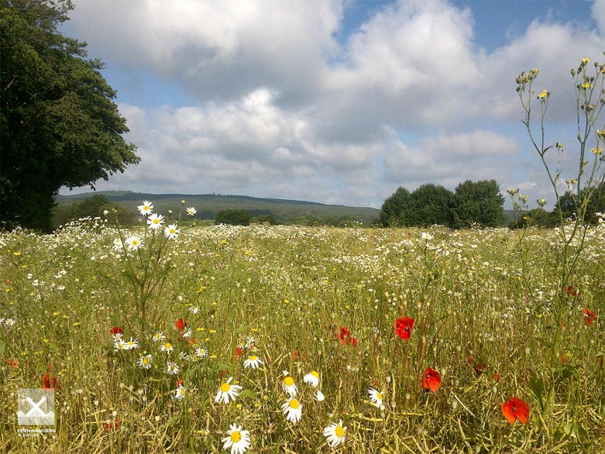
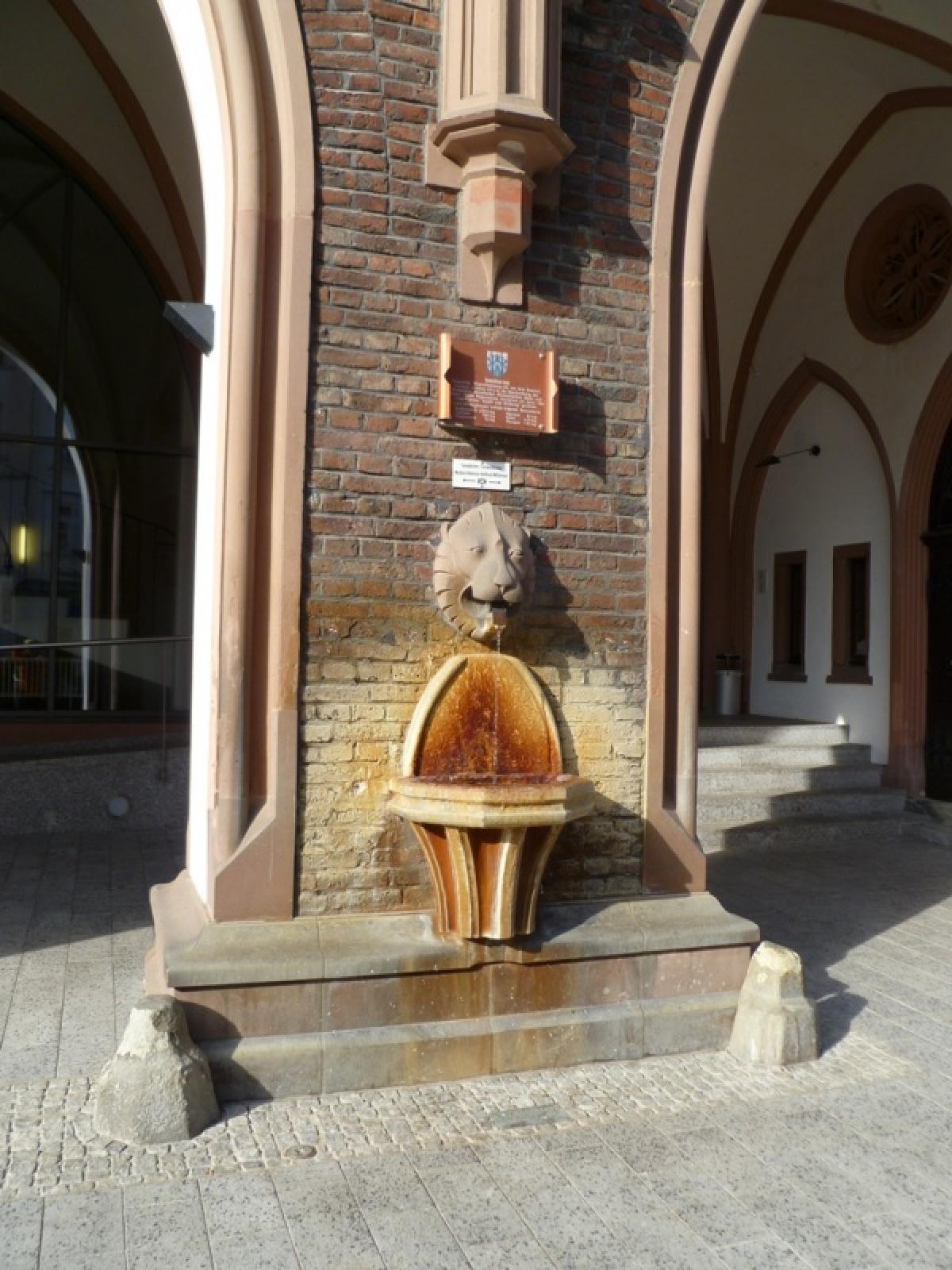
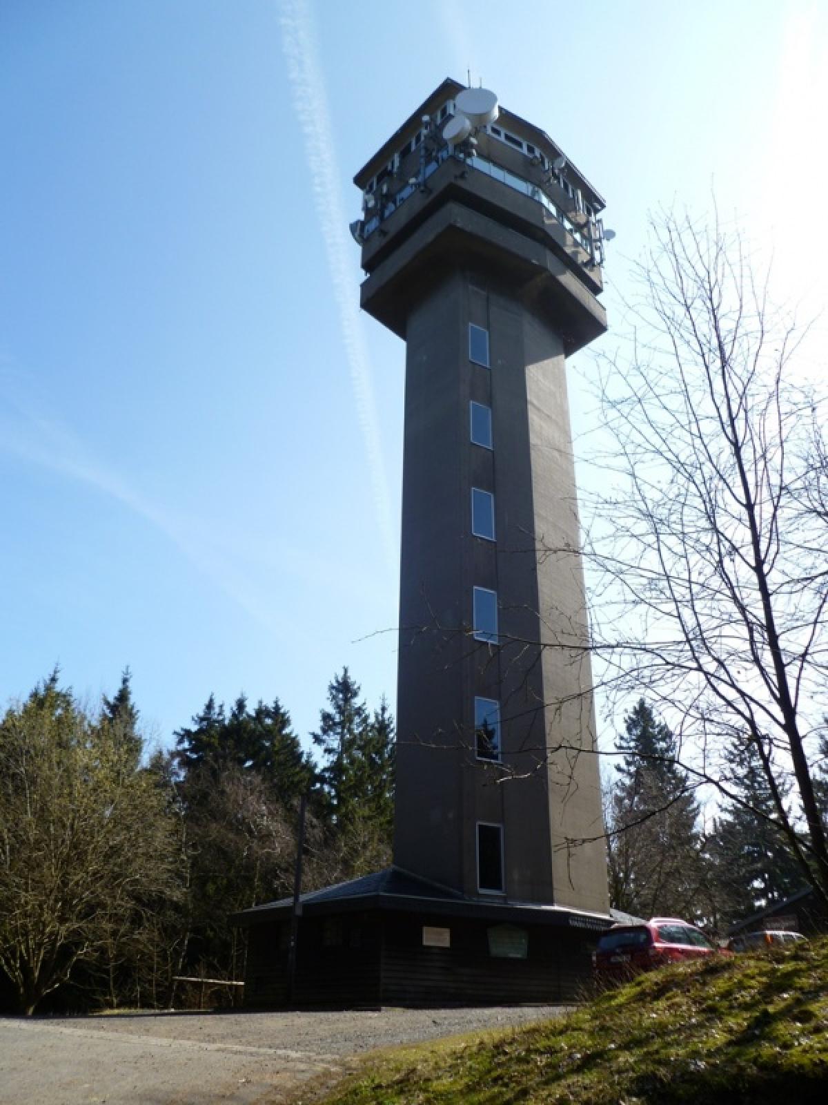
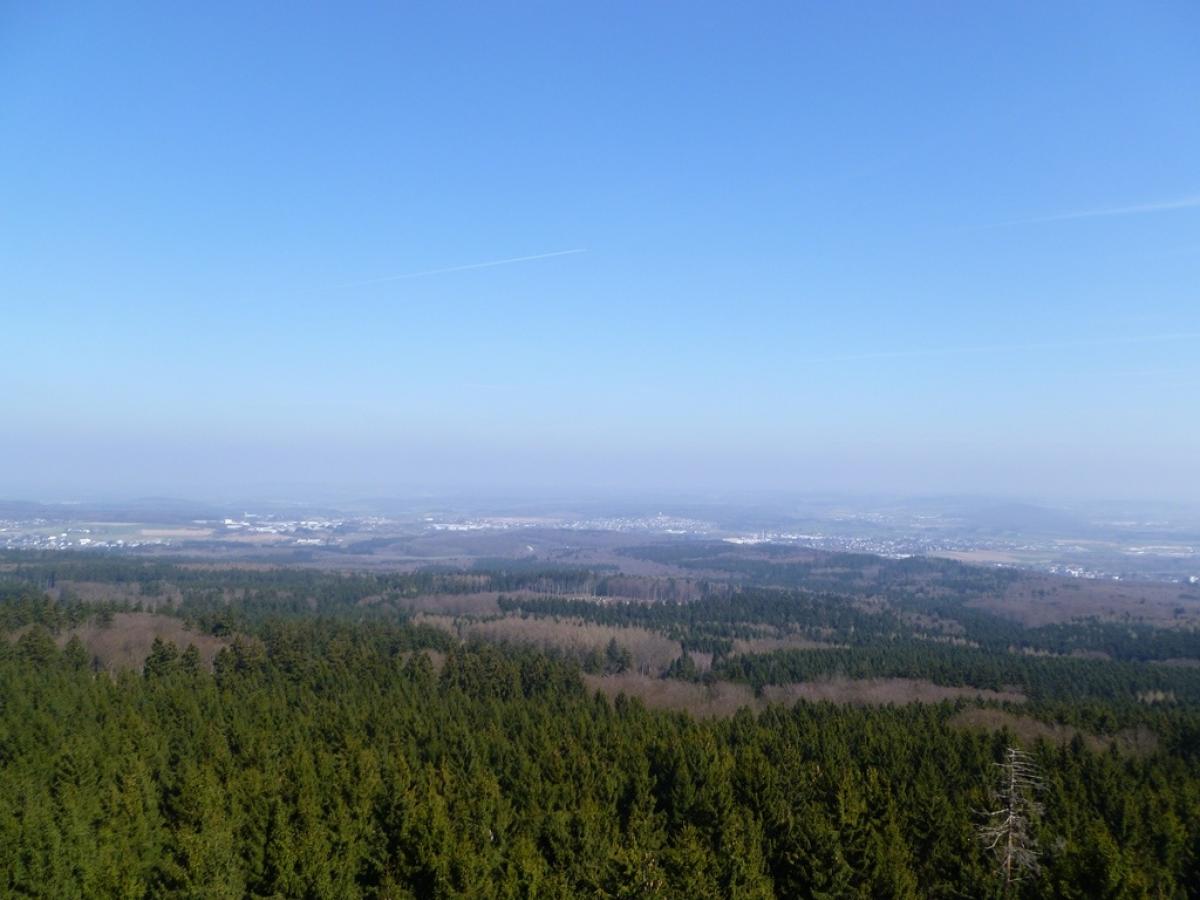
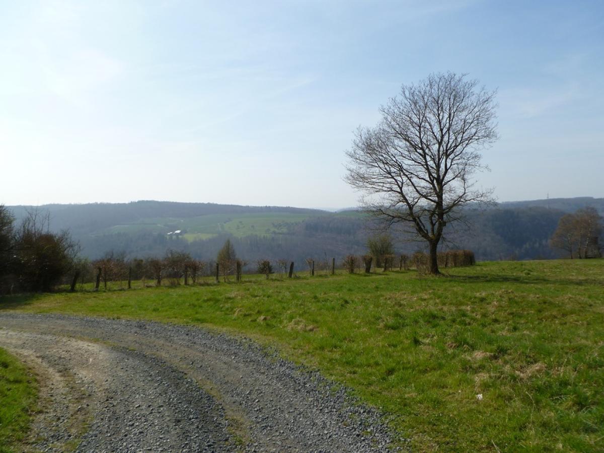
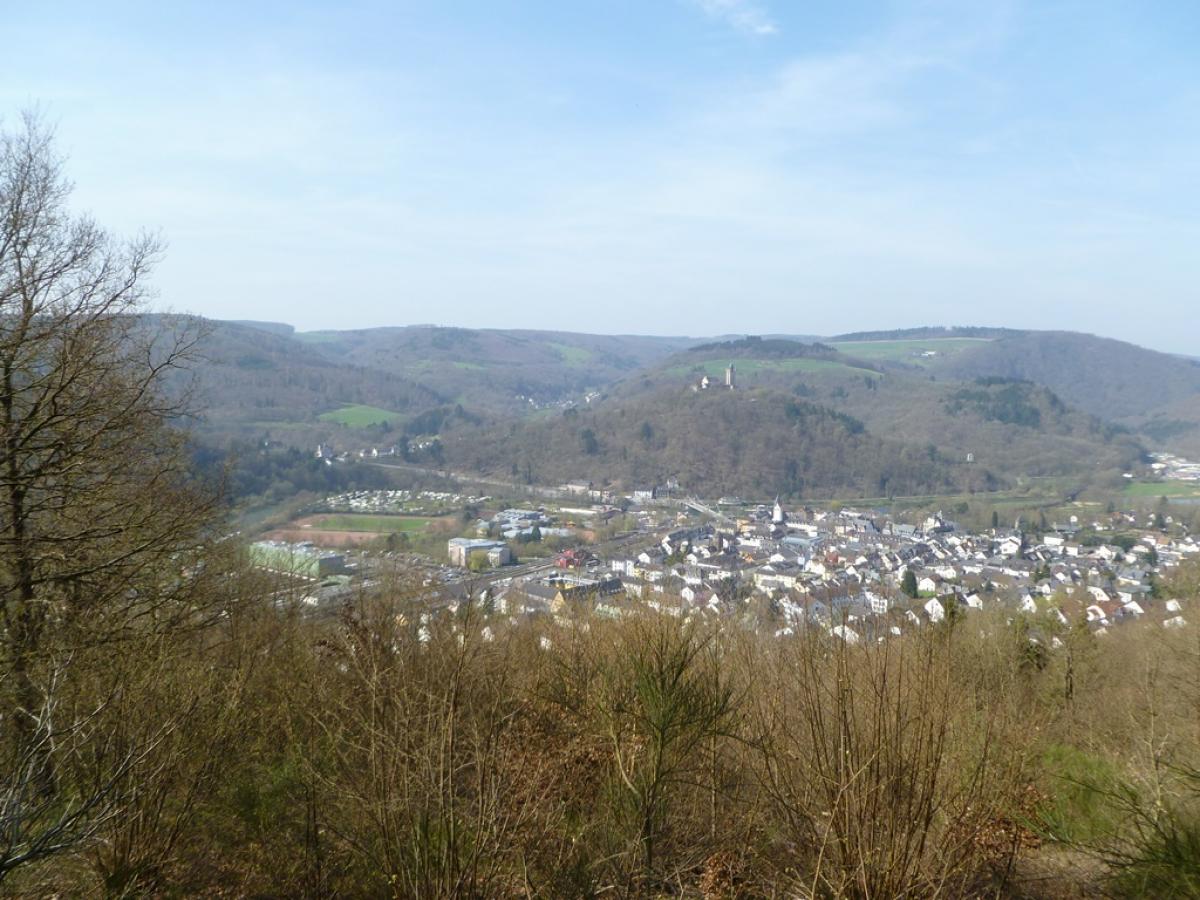
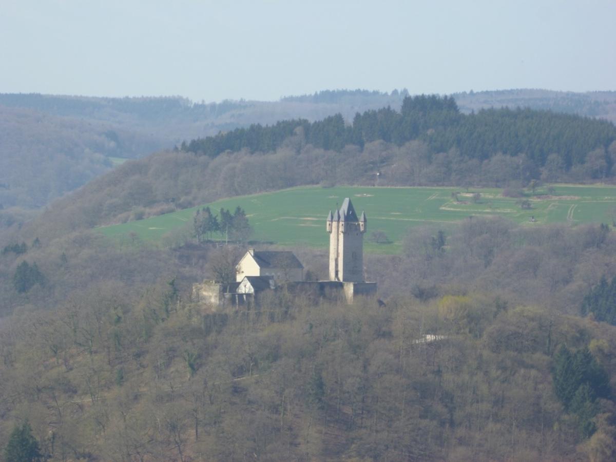
Aus Montabaur hinaus vorbei an Kneipp-Becken und Schwimmbad geht es auf Spazierweg und Pfad in den Stadtwald. Von dort an auf breitem Waldweg bergauf und nach Welschneudorf. Dort gibt es eine Metzgerei, einen kleinen Laden und einen regengeschützten Rastplatz. In leichtem Auf und Ab weiter durch den Wald, leider auch mal 'nen guten Kilometer auf der schnell befahrenen Strasse. Kurz vor Nassau erhält man endlich Ausblicke über das Lahntal in Richtung Taunus. Im Abstieg nach Nassau wird die Markierung dürftig - also auf den Track achten.
The following users contributed to this text:
Hiking maps
No maps added yet
Marking
-
 European long-distance path E1
-
 St. Andrew's cross / E1
Accommodation
| Accommodation | Price group | |||
|---|---|---|---|---|
| 5-15 € | 16-30 € | 31-45 € | >45 € | |
|
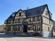
Posthotel Hans Sacks
Montabaur
Price group: €
|
||||
|
Campingplatz Auf der Au
Nassau
Price group: 5-15 €
|
|
|||
|
Pension über der Lahn
Nassau/Lahn
Price group: 15-30 €
|
|
|||
|
Show more accommodation in Montabaur
, Welschneudorf
and Nassau
(booking.com / Ad)
|
||||
Sources and copyright
GPX track coordinates: © OpenStreetMap contributors. Published under Open Database License (ODbL)GPX-Downloads
You can use the GPX track for navigation and tour planning on your digital device (GPS, smartphone, online tour planner).
| Etappe Stage 7.5 Montabaur - Nassau | Download (.gpx) |
| All tracks in Germany | Download (.zip) |
The download and many of the services offered on this page are free of charge. However, I would greatly appreciate a small donation as a token of appreciation for my work! This can be done through Paypal or a supporting membership. Thank you very much!