7.3 Bad Marienberg - Freilingen
24.6km
Distance
-
Walking time
540m
Total climb
616m
Total descent
Photos


Stage description
N.B.: We don't have an English description of the stage just yet. We'll give you the German version for now until the English version is ready.
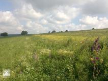
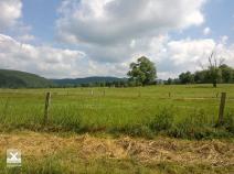
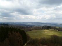
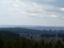
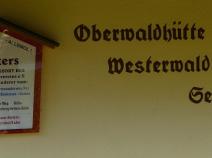
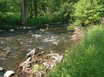
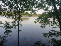
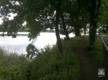
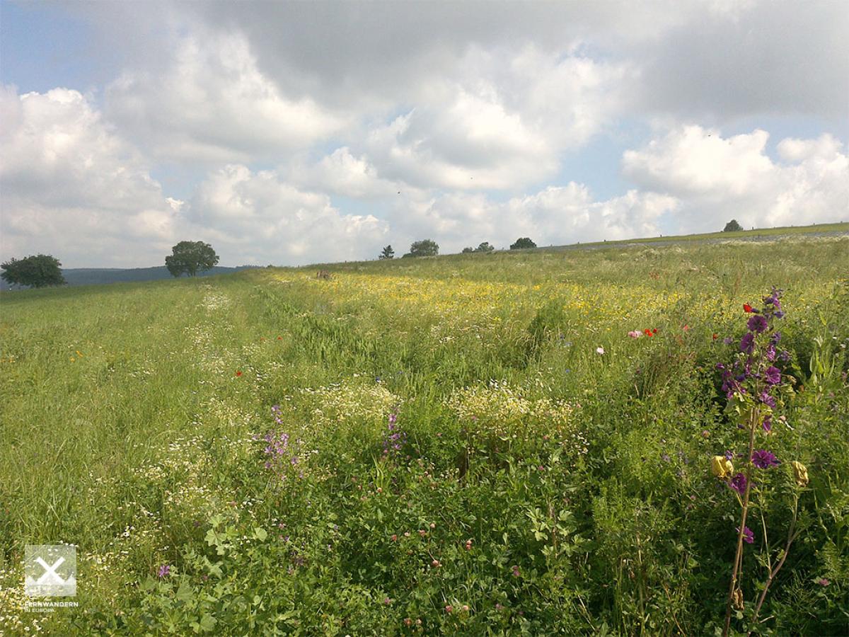
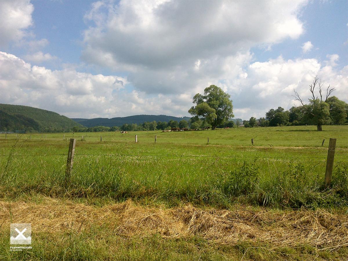
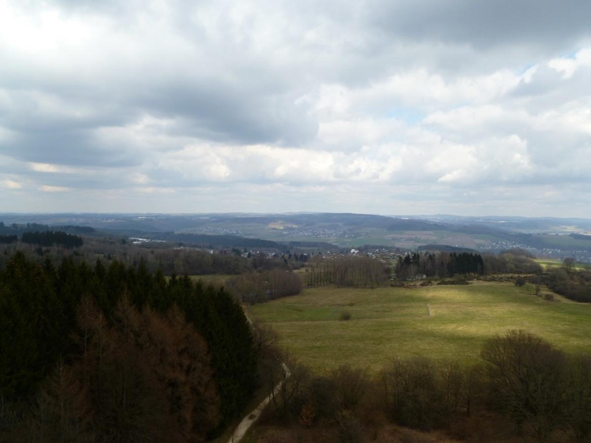
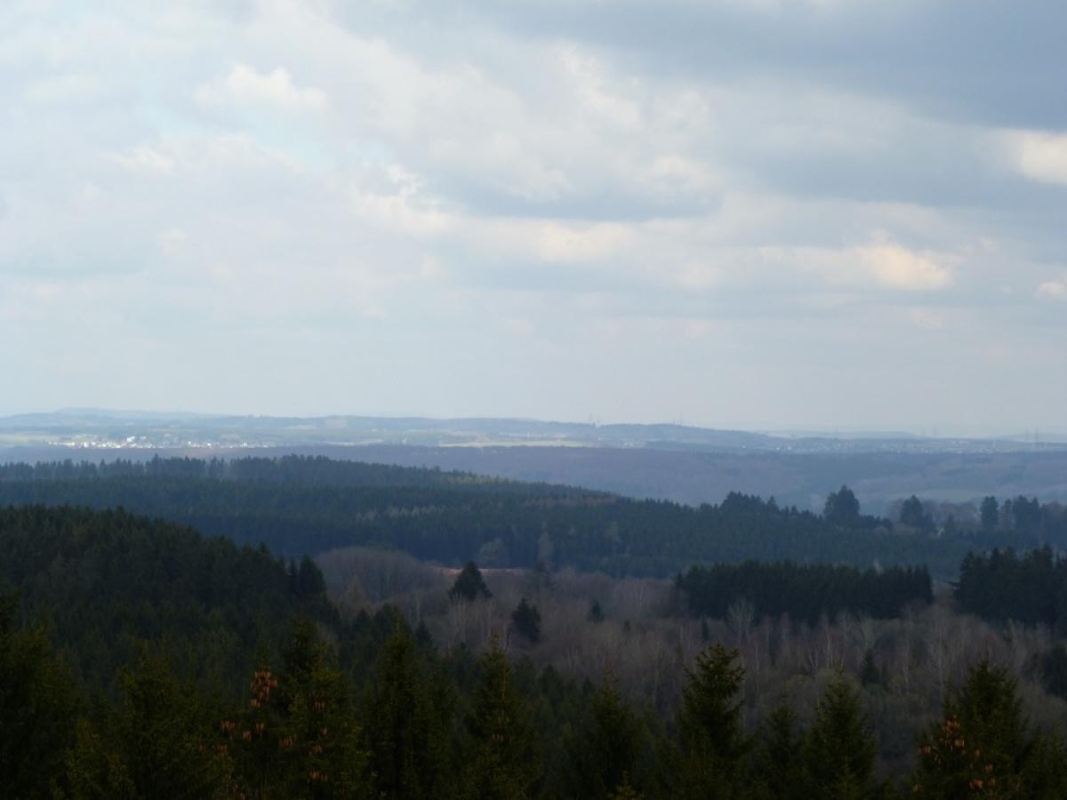
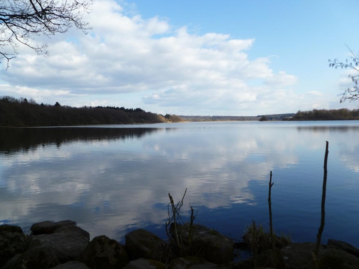
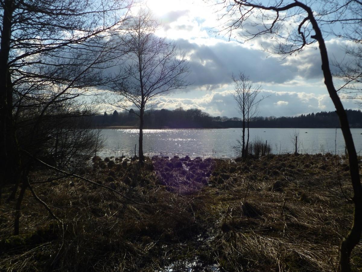
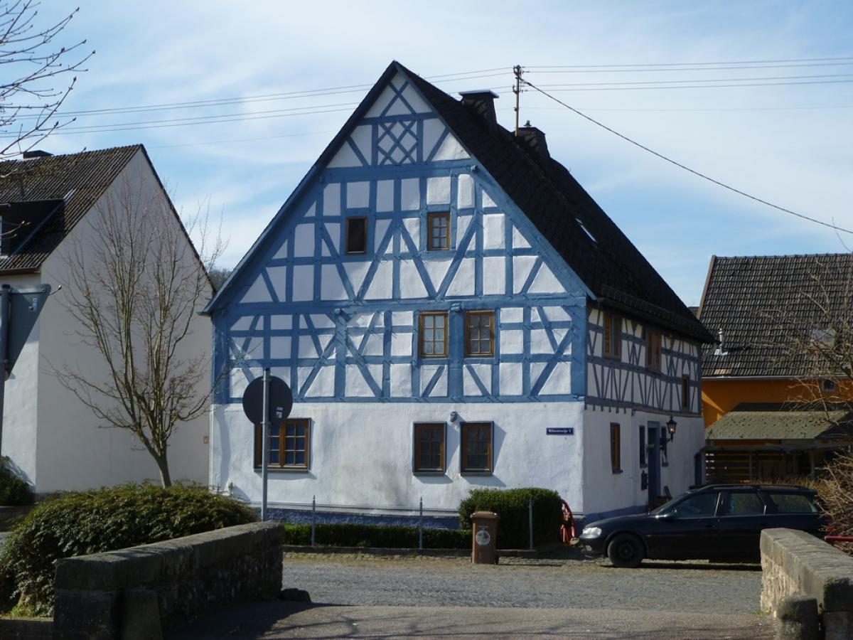
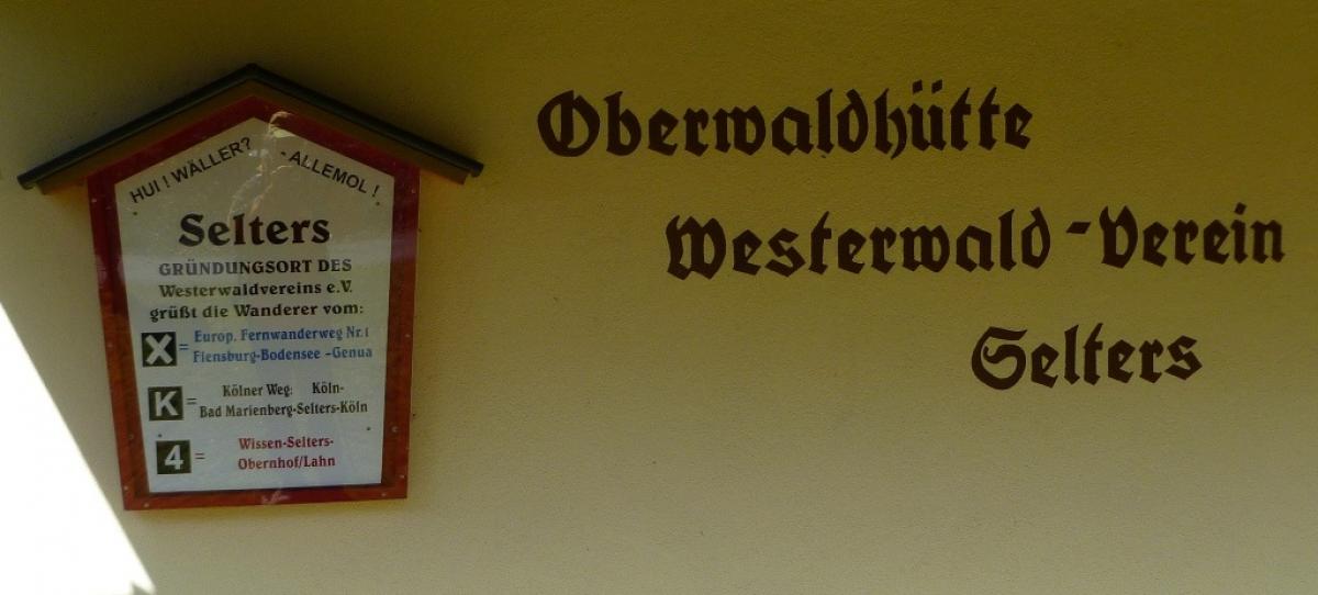
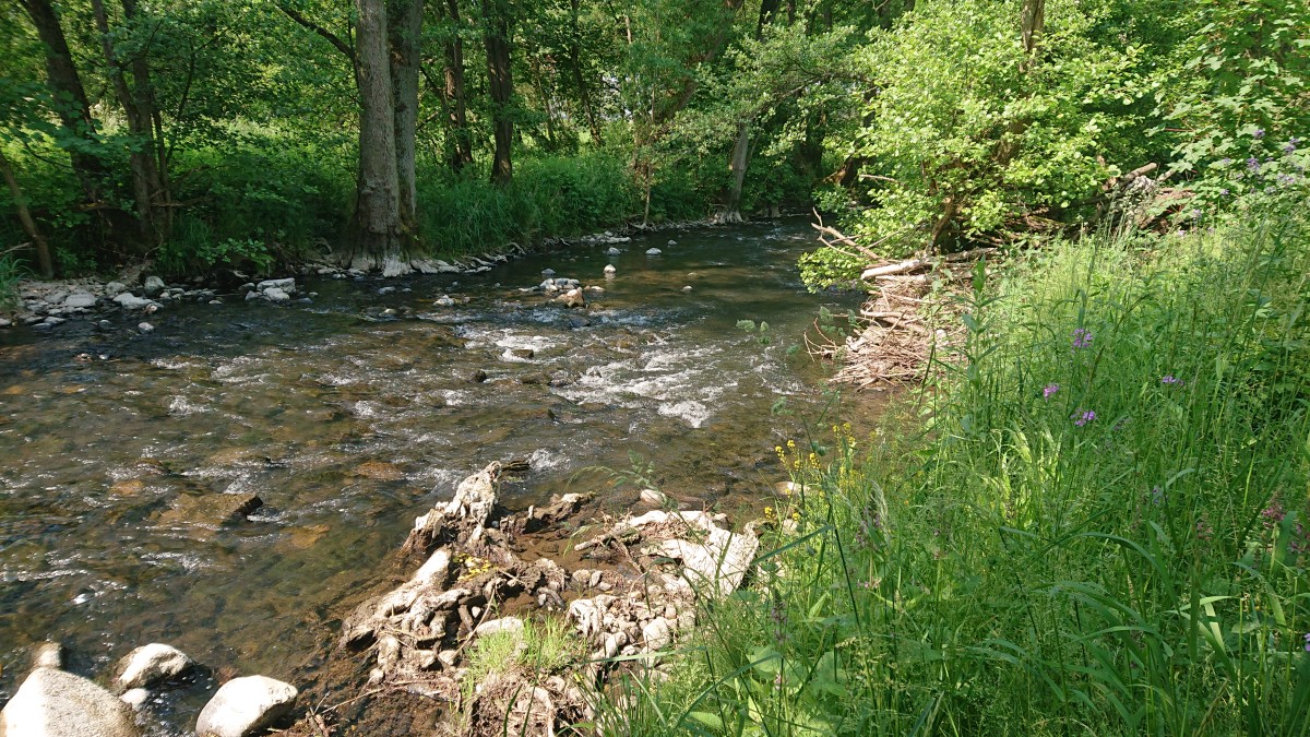
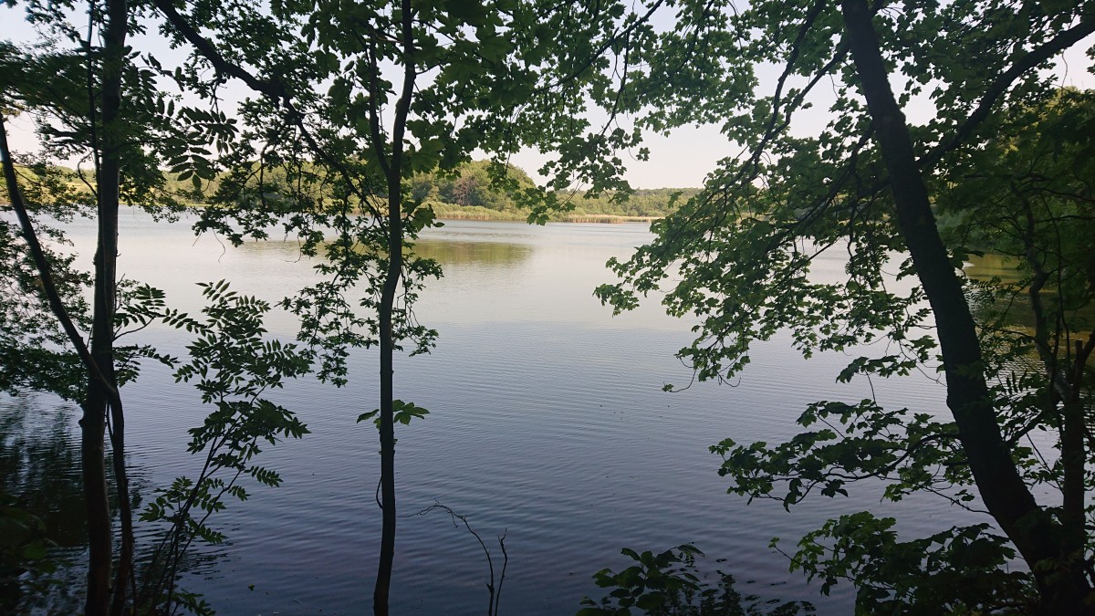
Von Bad Marienberg geht es zunächst aufwärts bis zu zum Großen Wolfstein, einer Ansammlung von Basaltsteinen vulkanischen Ursprungs. Über Forstwege läuft man bequem bis nach Unnau und nach einer kleinen Passage an einer Landstraße abwärts nach Hirtscheid. Kurz vor dem Ort ist eine schöne Pausenbank an der Großen Nister. Nun geht es wieder über Straßen bergan bis Alpenrod. Dahinter erwartet einen der Gräbersberg mit der viel besuchten Alpenröder Hütte und einem Aussichtsturm. Danach geht es vorwiegend durch den Wald und schließlich vorbei an Steinebach an der Wied. Hinter Langenbaum erreicht man die Westerwälder Seenplatte mit dem Dreifelder Weiher, an dessen Ostseite man auf naturnahem Weg Dreifelden erreicht. Anschließend geht es über die Mündung der Wied und dann häufiger auf schmaleren Wegen an Brinken- und Postweiher vorbei bis zum Ende der Etappe beim Campingplatz in Freilingen.
The following users contributed to this text:
Hiking maps
No maps added yet
Marking
-
 European long-distance path E1
-
 St. Andrew's cross / E1
Accommodation
| Accommodation | Price group | |||
|---|---|---|---|---|
| 5-15 € | 16-30 € | 31-45 € | >45 € | |
|
DJH Jugendherberge Bad Marienberg
Bad Marienberg
Price group: 15-30 €
|
|
|||
|
Hotel zur Post
Nistertal
Price group: €
|
||||
|
Haus am See
Steinebach a.d. Wied
Price group: 5-15 €
|
|
|||
|
Gasthof Zum Seeweiher
Dreifelden
Price group: 30-45 €
|
|
|||
|
Campingplatz-Freilingen
Freilingen
Price group: 5-15 €
|
|
|||
|
Hofgut Schönerlen
Steinen
Price group: 5-15 €
|
|
|||
|
Show more accommodation in Bad Marienberg
, Nistertal
and Freilingen
(booking.com / Ad)
|
||||
Sights
-
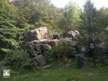
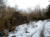
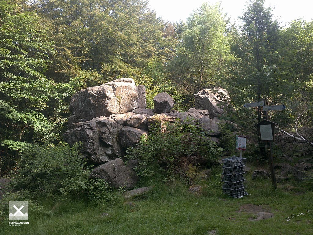
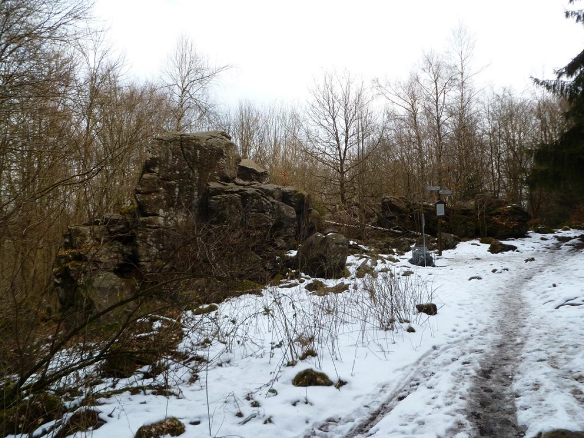
Großer Wolfstein
At Marienberger Höhe the E1 passes the natural monument "Großer Wolfstein".
-
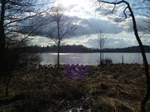
Dreifelder Weiher
The Dreifelder Weiher is the largest lake in the Westerwald lake district. The pond was created after the Thirty Years' War for fish farming and is largely located in a nature reserve.

Sources and copyright
GPX track coordinates: © OpenStreetMap contributors. Published under Open Database License (ODbL)GPX-Downloads
You can use the GPX track for navigation and tour planning on your digital device (GPS, smartphone, online tour planner).
| Etappe Stage 7.3 Bad Marienberg - Freilingen | Download (.gpx) |
| All tracks in Germany | Download (.zip) |
The download and many of the services offered on this page are free of charge. However, I would greatly appreciate a small donation as a token of appreciation for my work! This can be done through Paypal or a supporting membership. Thank you very much!